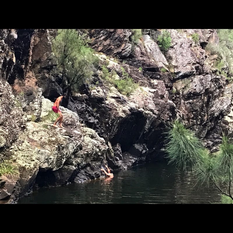
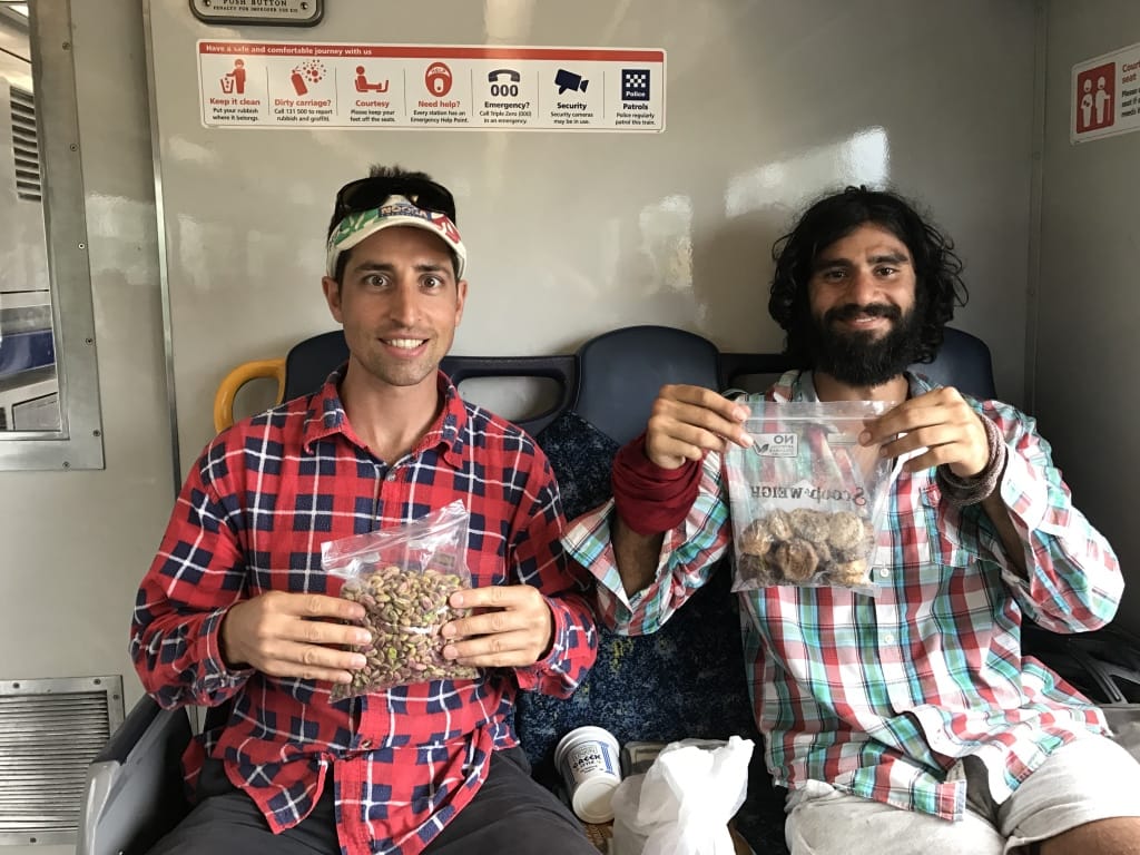
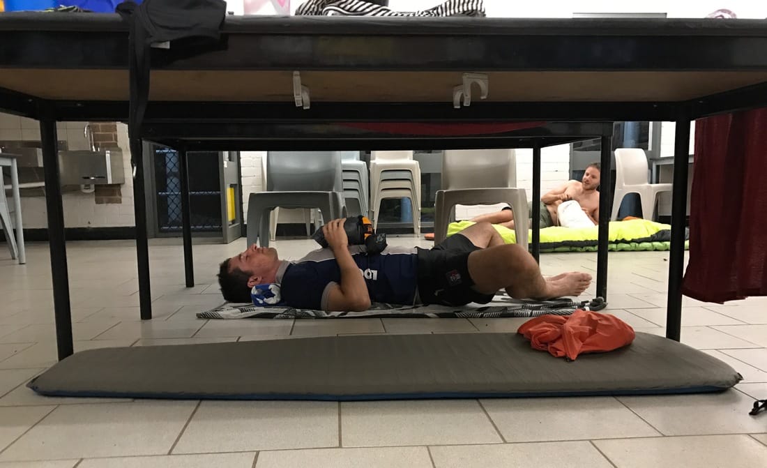
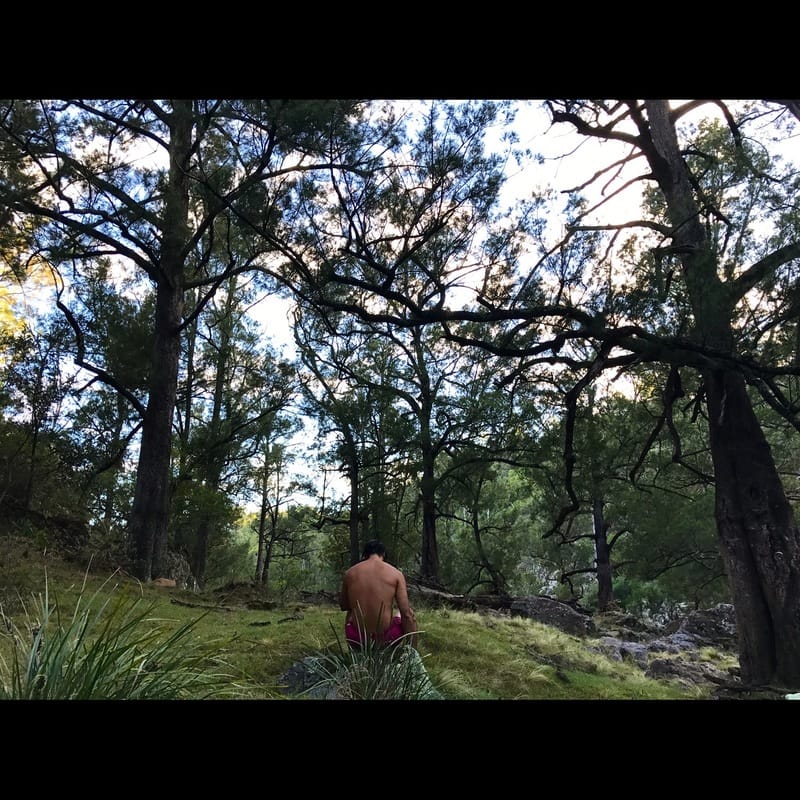
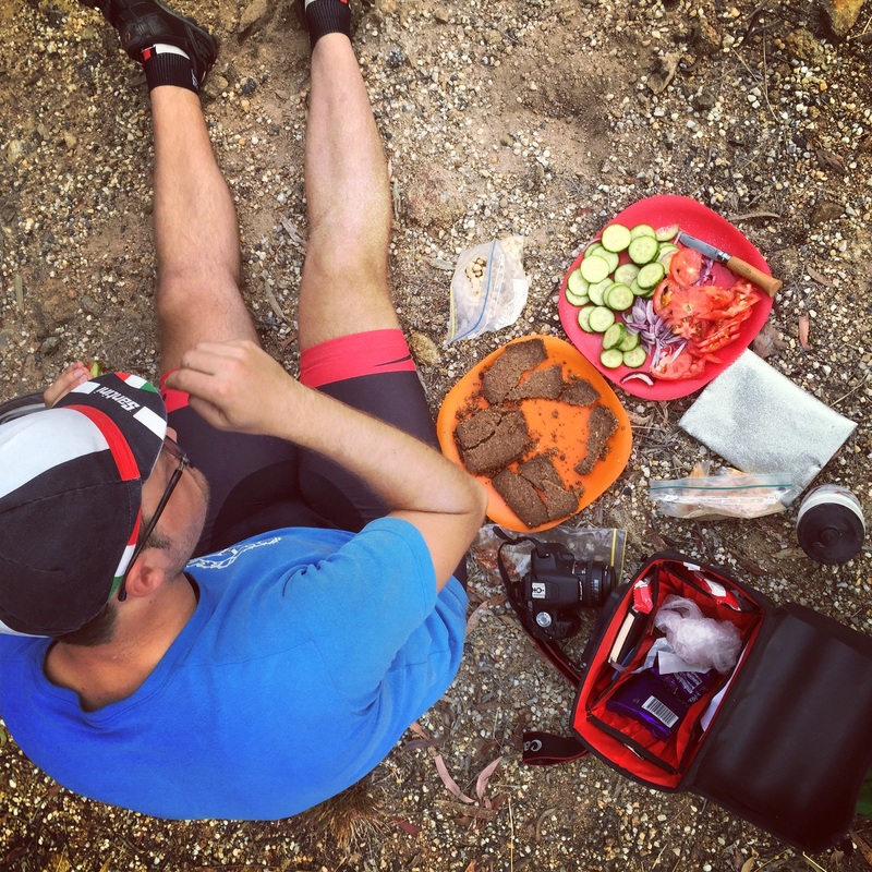
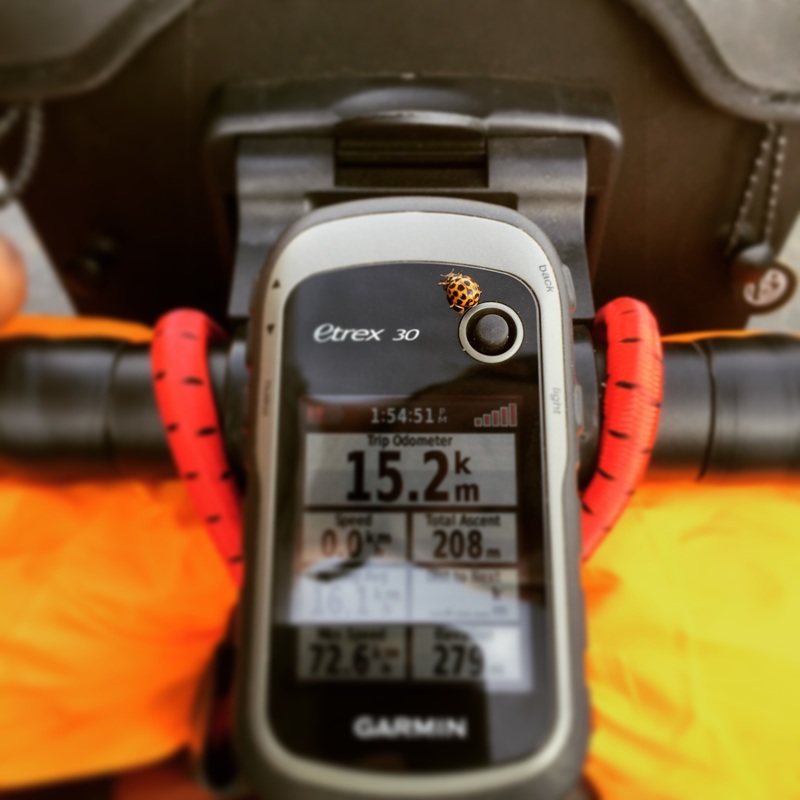
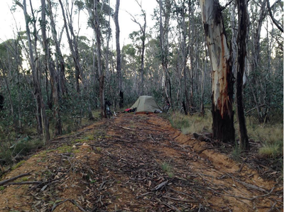
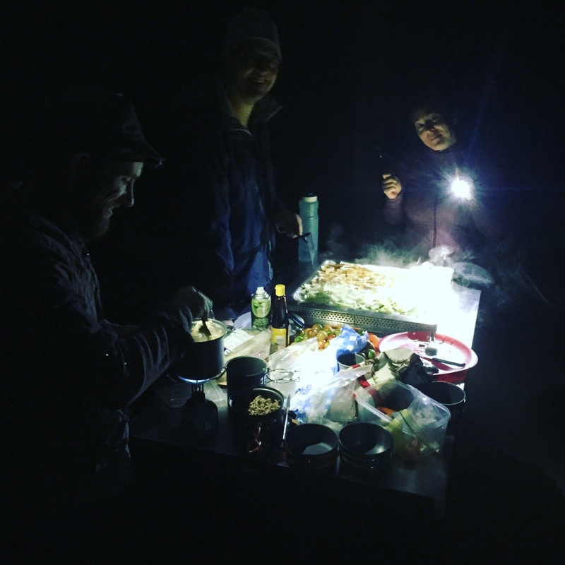
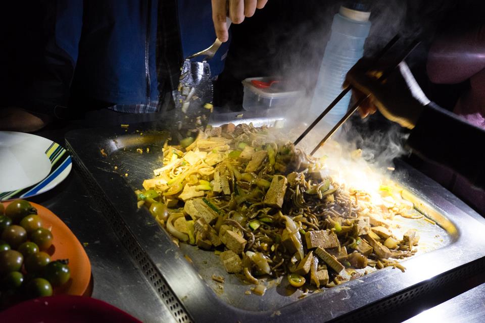
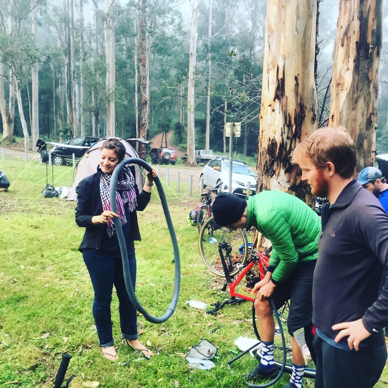
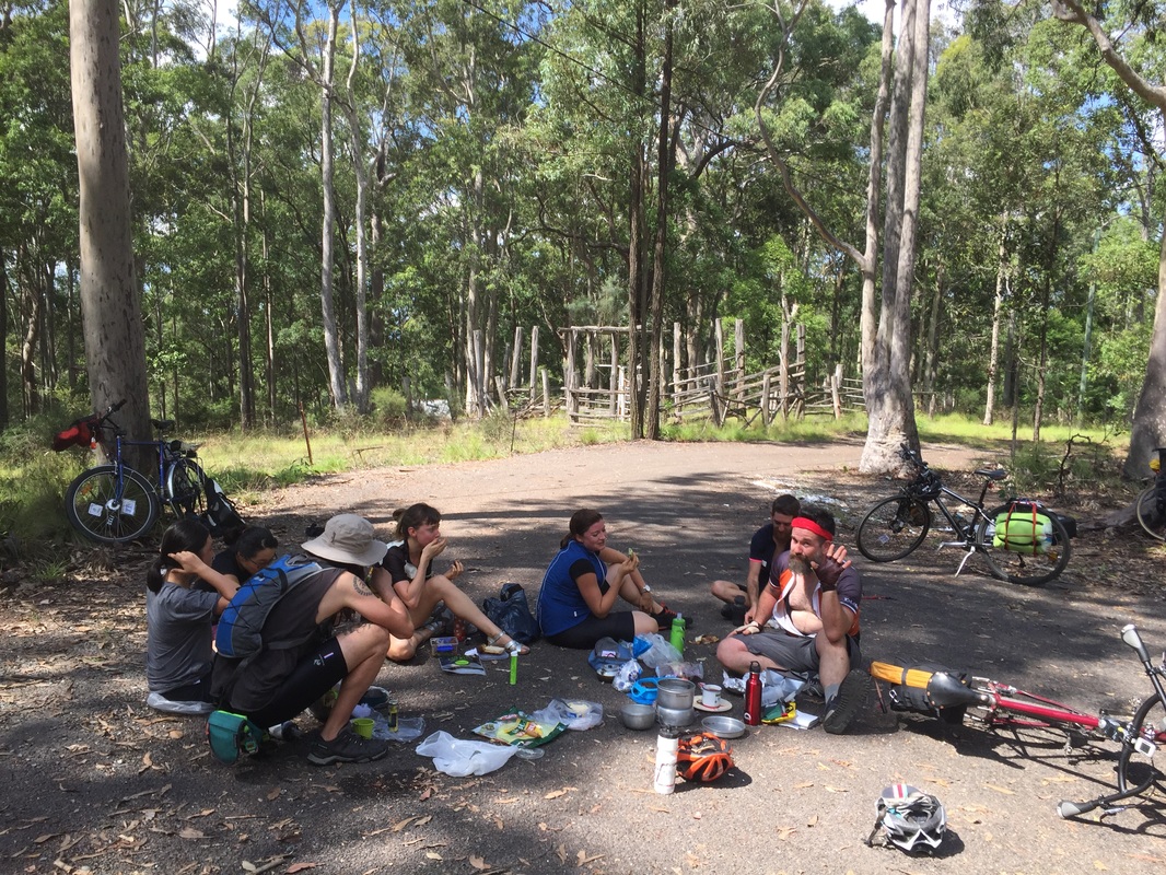
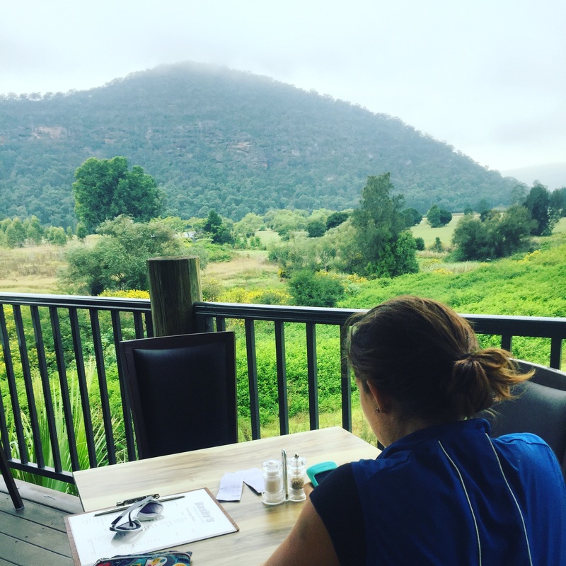
 My anxiety of not having planned a holiday over the xmas break resulted in this last minute cycle tour to the wilderness (better known as Bungonia National Park). Famous for its gorge, pretty popular canyoning spot as we later found out when we bumped into another Sydney Night Rider that night at the camp site. Lesson # 1. Invite people who are spontaneous For some reason I couldn't do this last trip on my own. I hadn't been on a long ride in a while and I wasn't feeling the most confident, even though I'd been to this place before. So I invited people who I thought would enjoy a mini tour. 2 people caught the bait. So on Friday the 30th December 2016, after some false starts with bike malfunctions and missing trains. Daniel, Jeremy and I set off into the wilderness from Moss Vale at 13:30 and managed to get to camp before sunset. Lesson # 2. Chat to people. They always have great advice. Like hidden swimming holes At the campsite one of the boys was tipped off about a swimming hole, so with the tents half set up we ditched everything and ran for the bush to find this hole, for a twillight swim. Swimming at twillight in a gorge surrounded by a forest is just magical. Even more so when there's thunder and rain. We were still swimming when the rains hit. Lesson # 3. Always close your bags. Always cover the tent. You never know when the rains will hit. Especially when you're twillight swimming at the bottom of a gorge. We were 40 mins away from the tents when the rain hit. Should have closed the tents but it probably wouldn't have made a huge difference as there was a stream of water running through the ground sheets anyway. Lucky the camp site has a shed and hot water. We slept in there that night. Lesson # 4. Sleeping mats are soft and comfy Sleeping mats make hard floors comfy to sleep on. Lesson # 4. Butt Cream After the whole trip (160 kms, return) my butt was pretty chaffed. Not sure if it was because I was wearing underwear the first day or because I wasn't wearing underwear the second day. My crack was a raw and riding back home wasn't fun. Elevation Gain (click link for Strava details): Day 1 - 582 m , Day 2 - 668 m Lesson #5. Check the Burger joint you plan to have your victory post-tour dinner at is open.
0 Comments
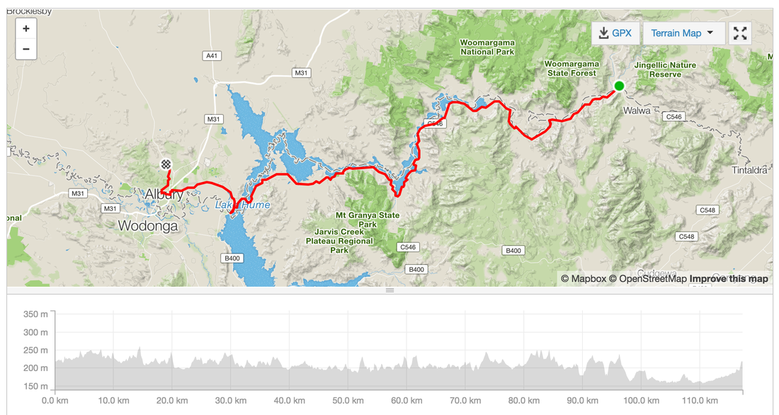
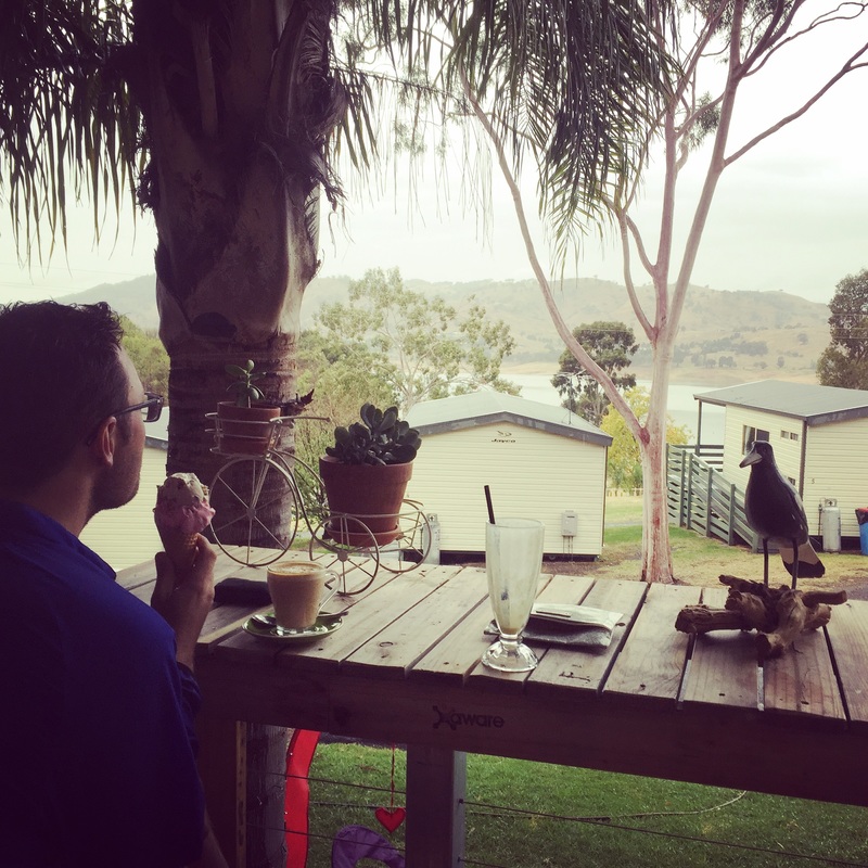
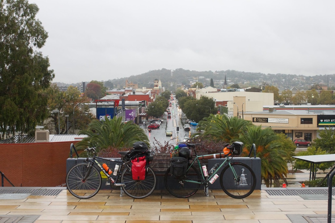
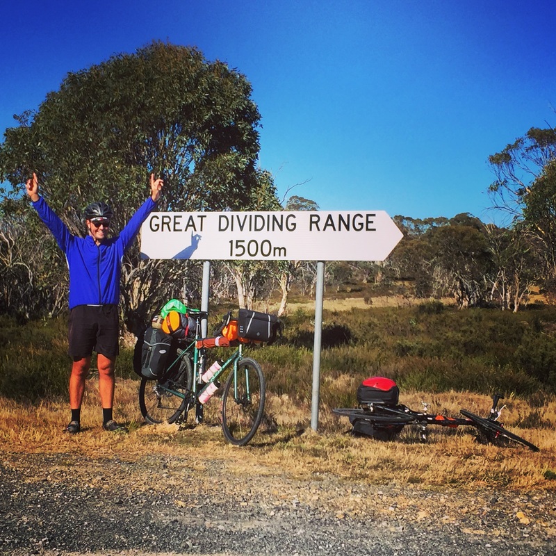
liFinal stats Total Distance: 622 kms Total Elevation gain: 7,760 m Highest Peak:1,500 metres above sea level at Selwyn Snowfields Coldest point: Selwyn Snowfields, 6 degrees, felt like 1 (evidence in the ice that formed in our drink bottles) Fastest speed: 59 kms/h Fires we made or leeched off others: 6 Successful dampers made by the fire: 0 Muesli bars consumed: 14 Favourite moment: Riding with a brumby Least favourite: All the gravel View the posts for the whole journey: link Posts Day 1 - Moss Vale to Bungonia - link Day 2 - Bungonia to Canberra - link Day 3 - Canberra to Mount Clear via Bobeyan Road - link Day 4 - Mount Clear to Selwyn Snowfields - link Day 5 - Selwyn Snowfields to Tamburamba - link Day 6 - Tamburamba to Jingelic - link Day 7 - Jingelic to Albury - link Ride with GPS Day 1 - Moss Vale to Bungonia - link Day 2 - Bungonia to Canberra - link Day 3 - Canberra to Mount Clear via Bobeyan Road - link Day 4 - Mount Clear to Selwyn Snowfields - link Day 5 - Selwyn Snowfields to Tamburamba - link Day 6 and 7 - Tamburamba to Jingelic - Albury - link 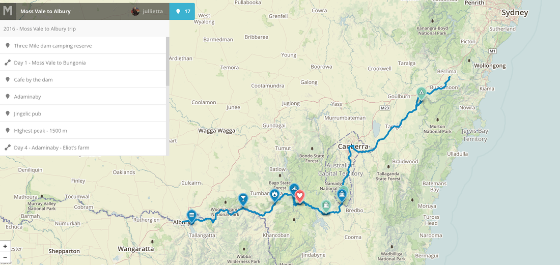      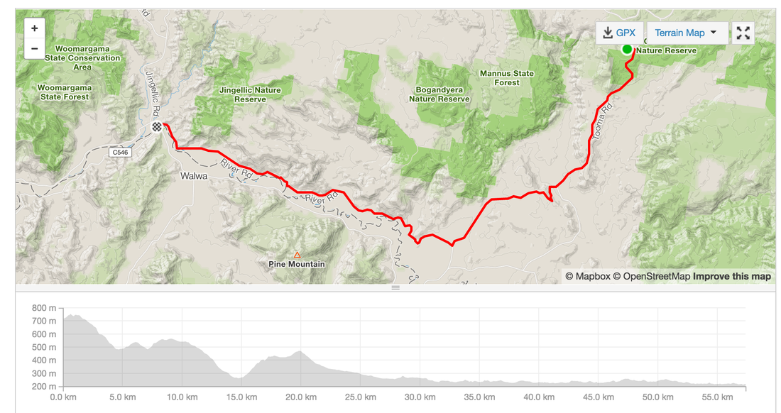  Last day, home stretch to Albury. We saw on the radar the night before that the rains were coming through. We're prepared with all the wet gear ready to go. Distance: 117.3 kms Elevation: 941 m Roads: Mostly on road (minimal traffic), bike paths 7 kms Strava: link Highlights:
Anti-highlight:
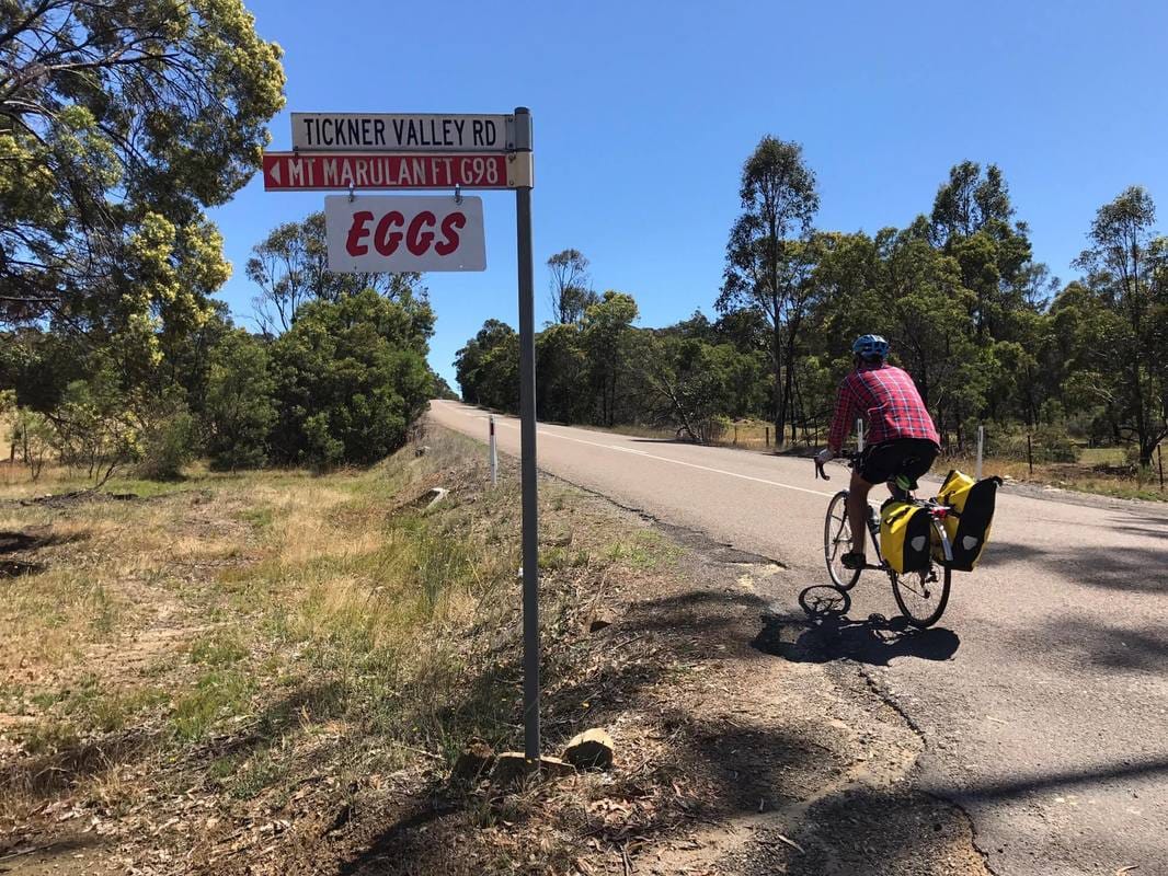
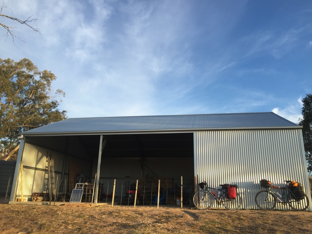
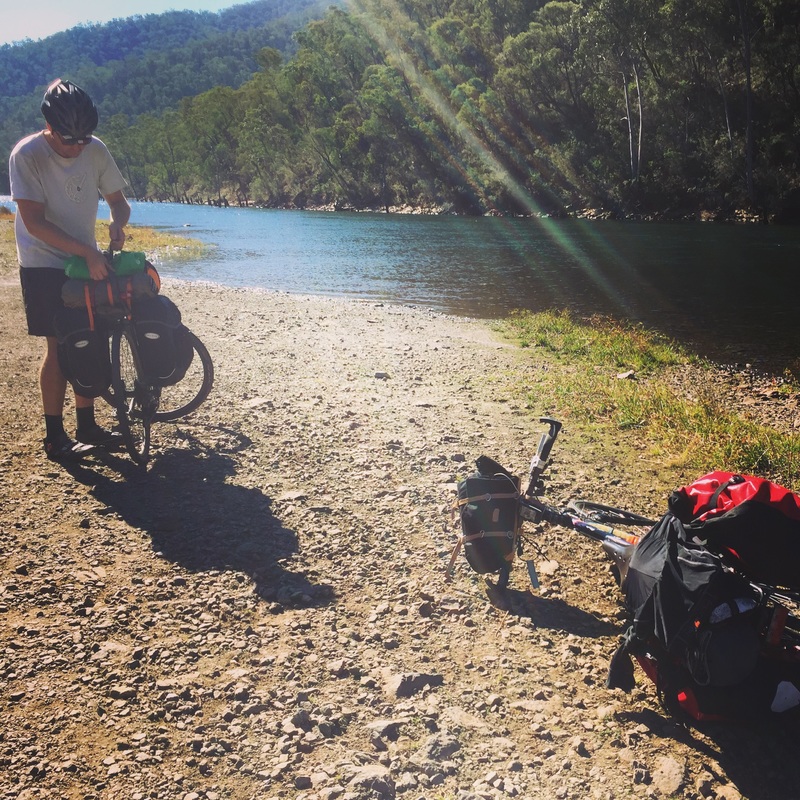
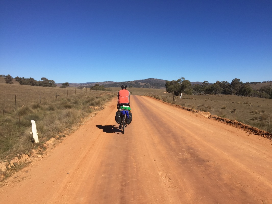
 Distance: 57.3 kms Elevation: 522 m Road: On Road, then gravel with corrugations from Tooma (nasty) for 35 kms Difficulty: Medium - Hard Strava: link Highlights
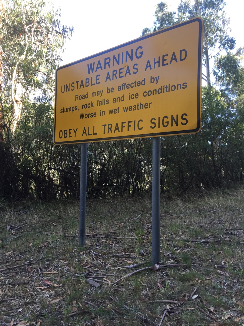
Warning
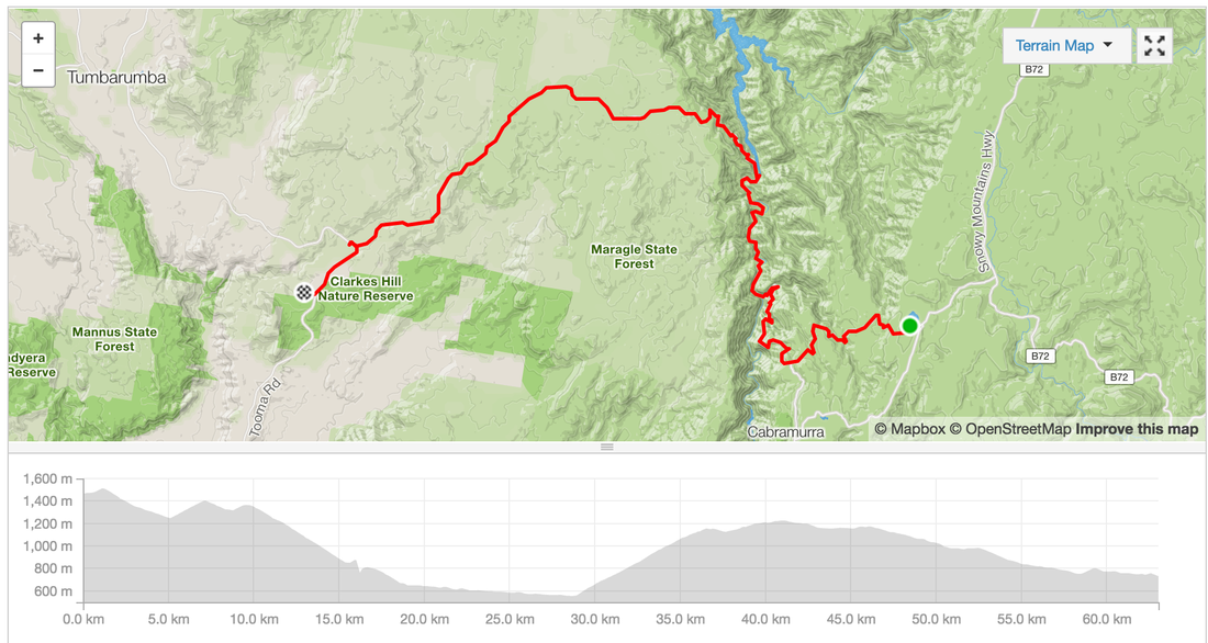
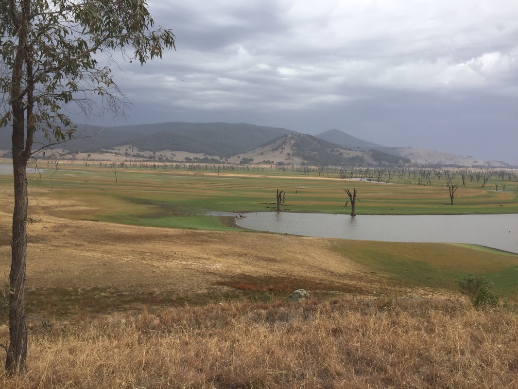
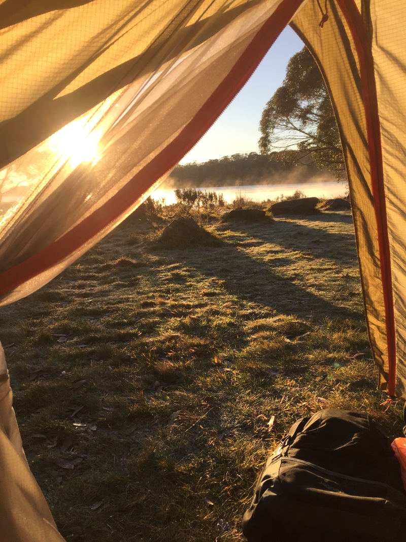
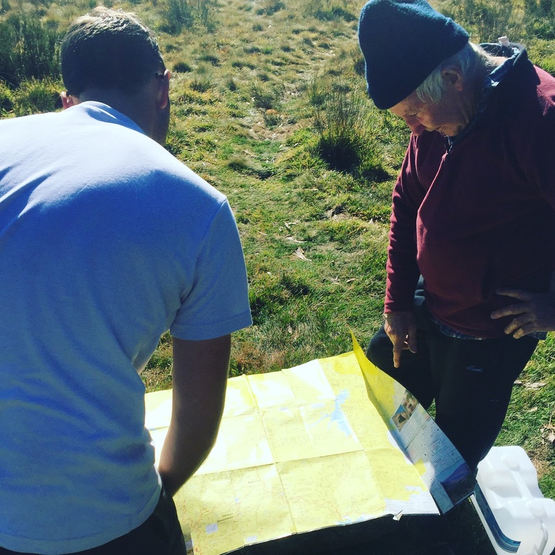
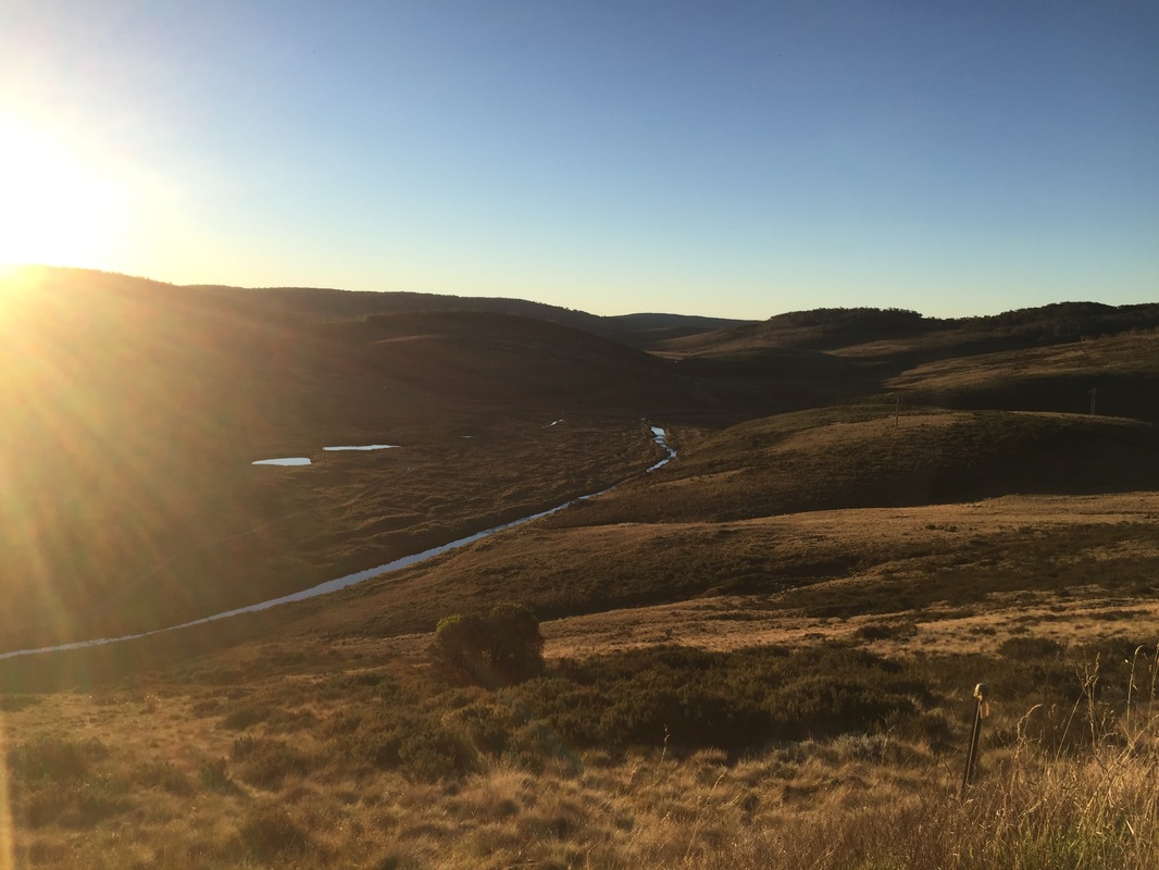
  Waking up to a frozen drink bottle isn't so bad when you're camping lake side and it's all misty when you wake up to the sun rising. Our neighbours are super helpful again showing us their topographical map with contours of the mountain ranges and then donating 4 litres of water. Much appreciated as we had our massive climb on a hot day. Distance: 63 km Elevation: 1,207 m Strava: link Warning: no water stops along the way. Highlights:
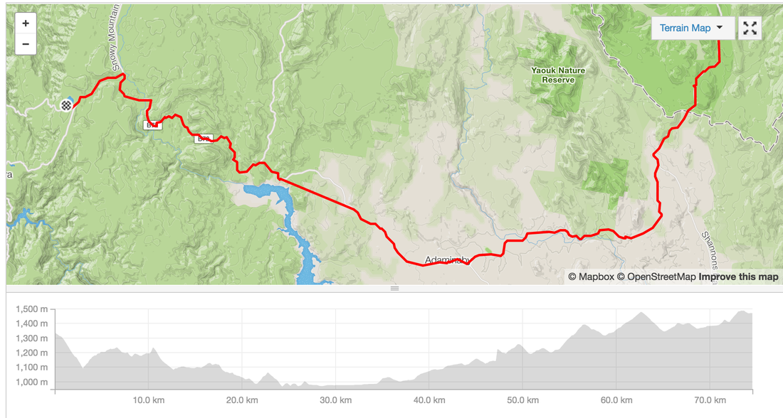
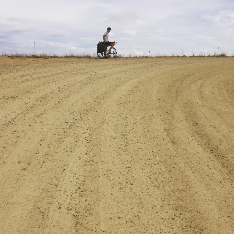
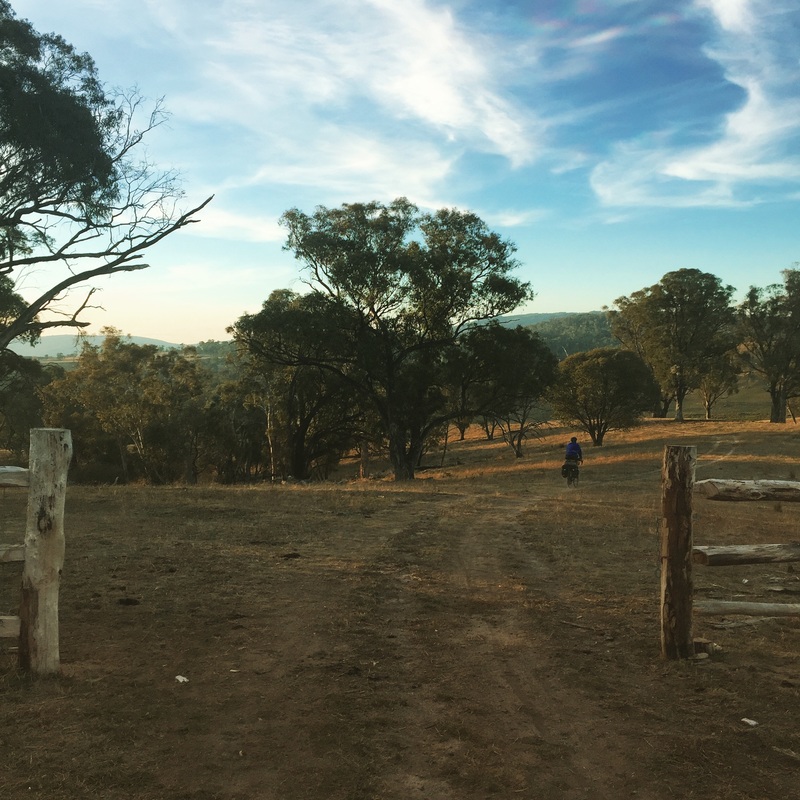
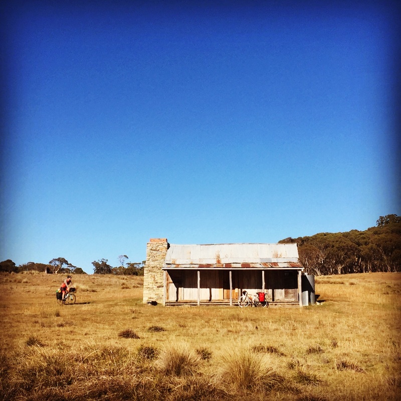
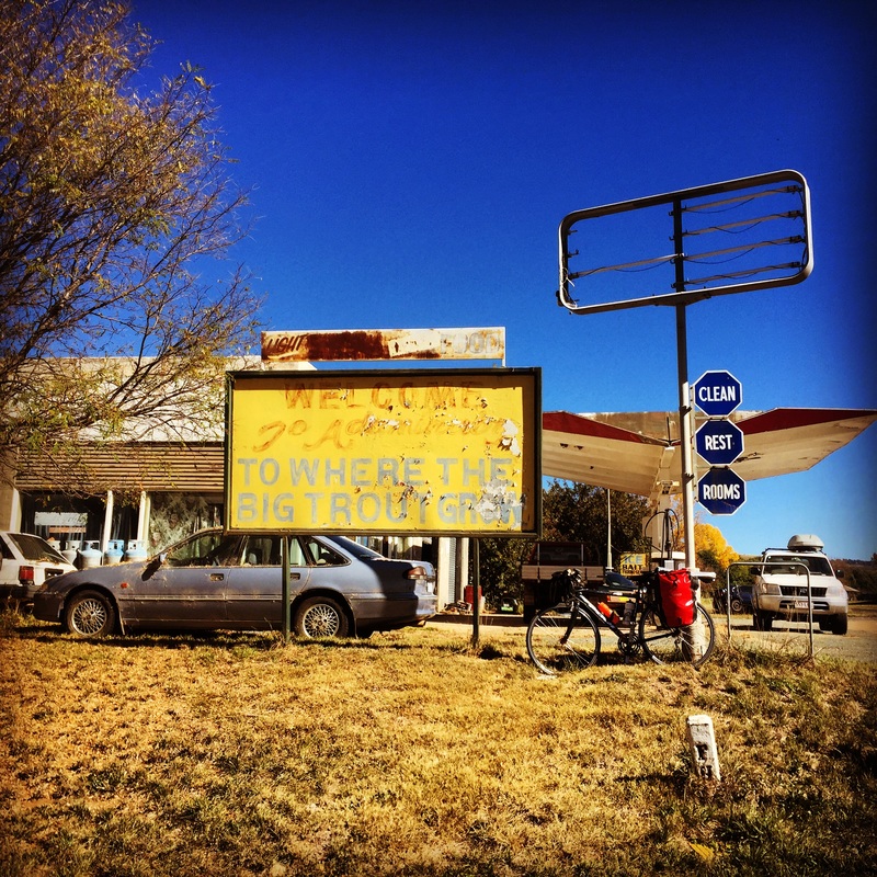
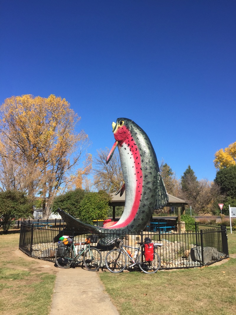
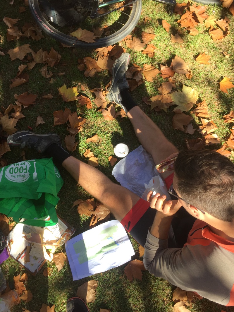
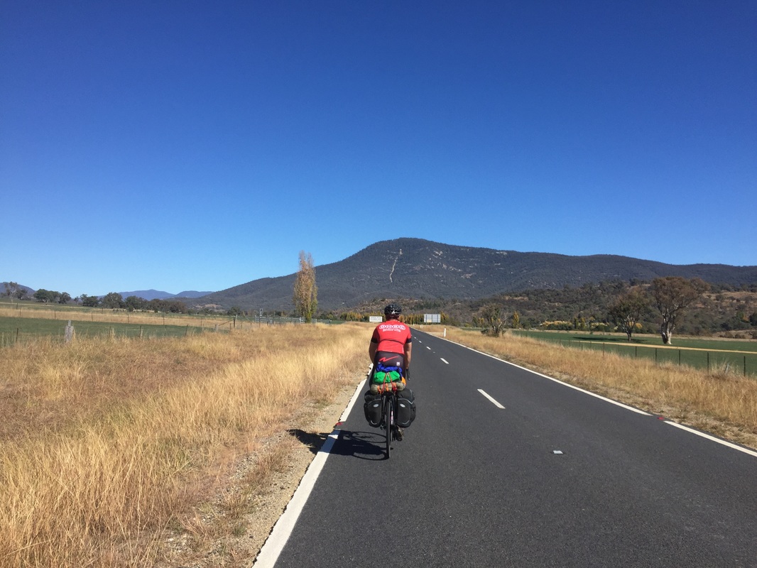
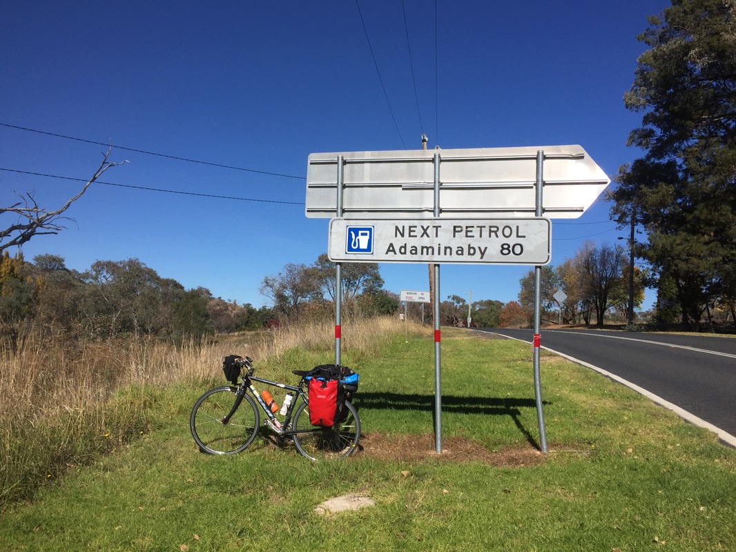
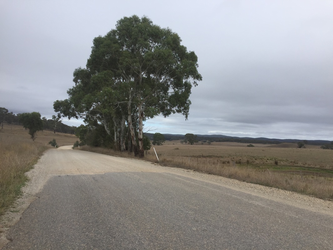
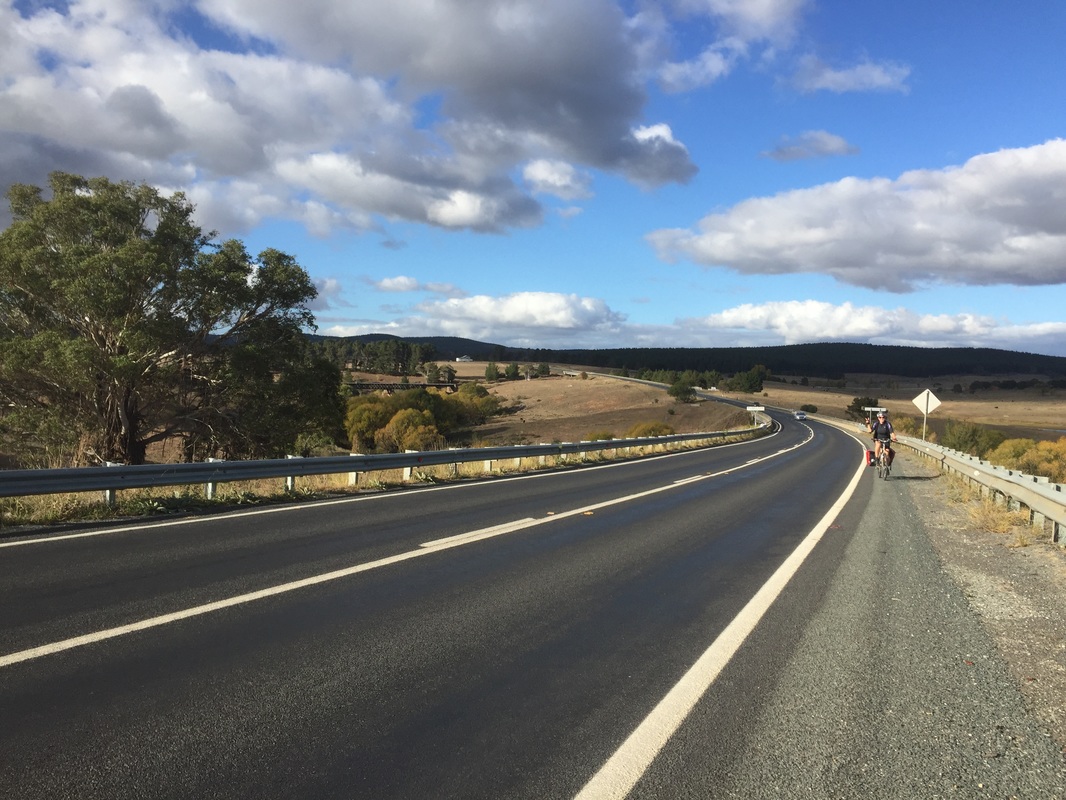
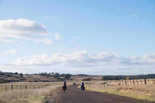
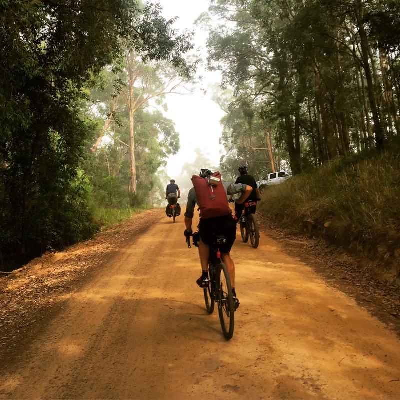
 Wake up after a freezing cold night. Luckily we have enought fuel for a fire to warm some water to make porridge. However the gravel road out of Canberra along Bobeyan road is soul crushing. Our patience is thinning. We're not talking to each other and ready to burst. We make it out by 12pm and roll into Adaminaby for lunch. We sit eating in the fallen Autumn leaves planning the next section. We thought we'd be able to make it to O'Hare's rest area, but as the sun went down and still had 30 kms to go we realised there'd be no chance. Plan b get to a warmer flat ground, outta sight camp-able spot before we freeze. Hangry and cold we pass a sign for Selwayn Snowfields and come across a sign with the tent symbol, Three Mile Dam camp grounds. SCORE! We roll in and see several campervans with fires going and we're more at ease. The night gets better as we get invited to share the fire of our neighbouring campers who also have keen cycling children and are keen adventurers. Another close call. Distance: 74.5 kms Elevation: 1,478 m Difficulty: Hard Road: Gravel 43 kms, on road, beautiful decent into Kiandra goldfields Strava: link Start: Mt Clear End: Three Mile Dam Campground near Selwyn Snowfields Food: Lunch @ Adaminaby, cafes, bakery, pub, bowling club, general store with camping gear Highlights:
Anit-highlight
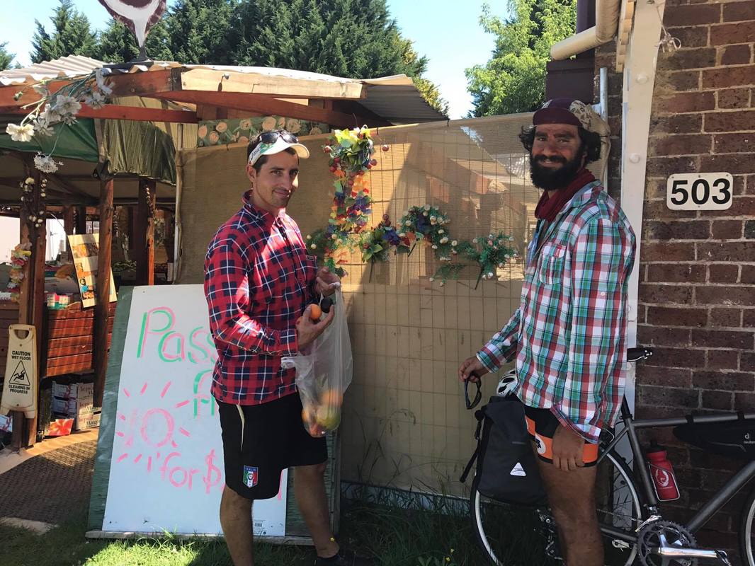
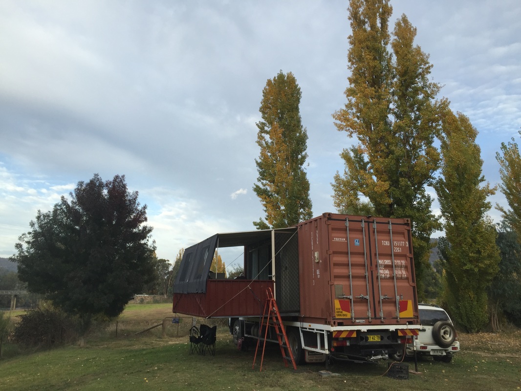
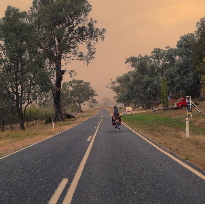
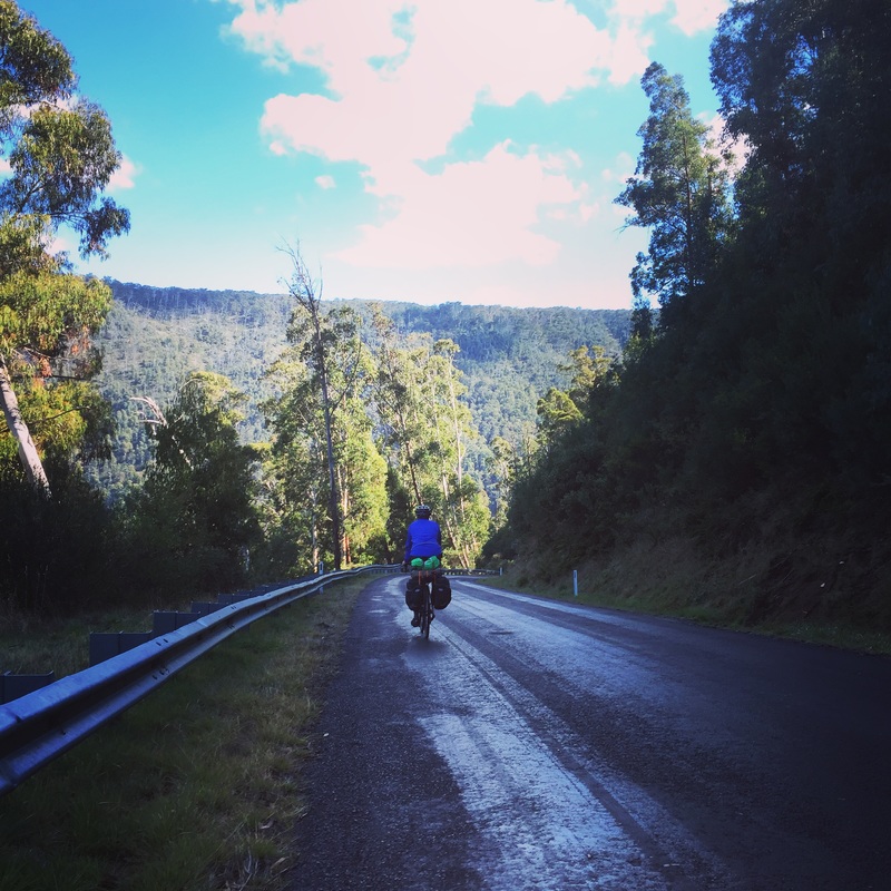
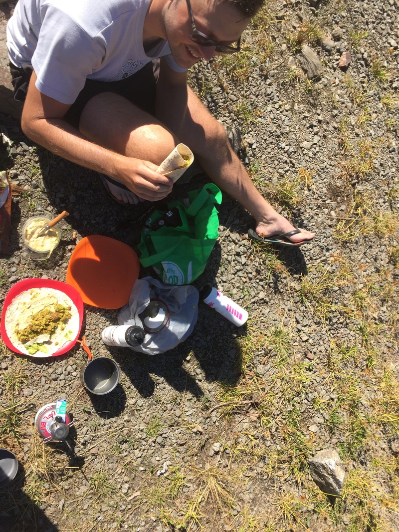
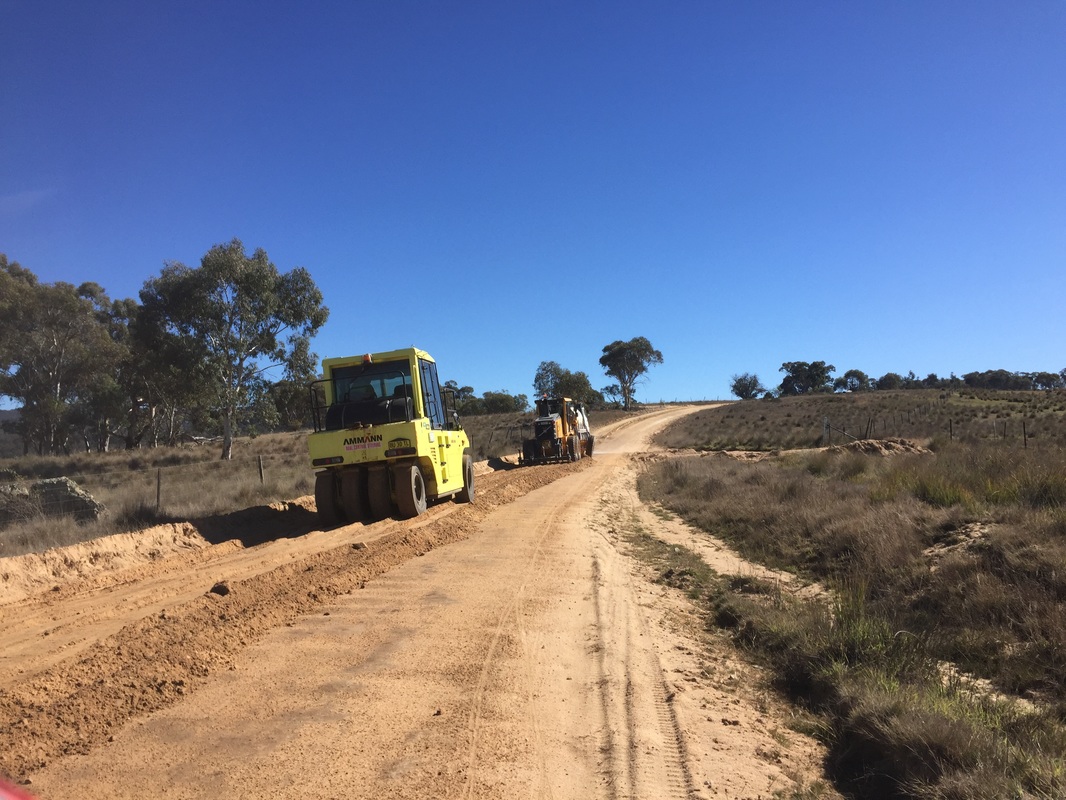
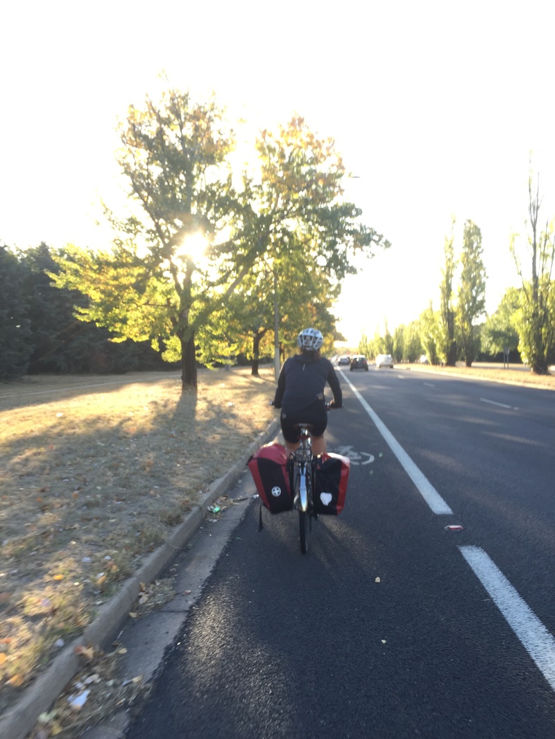
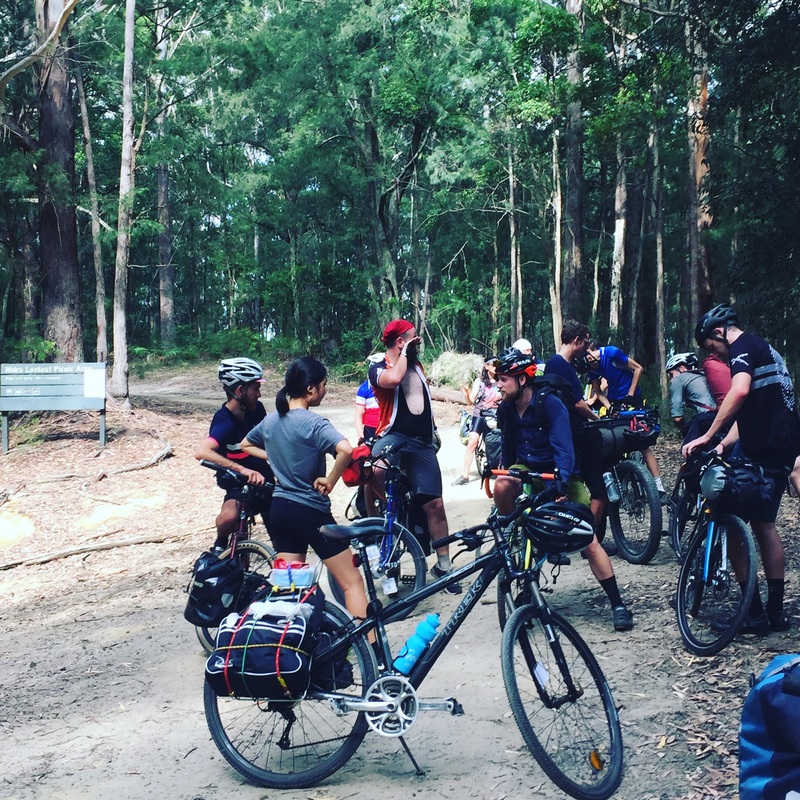
 After a night in the comfort of a bed at a friend's place, pub dinner and a hot shower we're on the road with a smaller entourage. We ride out to Thawra for brunch on ANZAC day and get some hot pides and turkish bread for the road. We're supposed to cover 120 kms but only managed half that after encountering some nasty gravel uphill roads which were a lot tougher than we'd hoped. By sunset we were looking to make camp on the side of the road anywhere it was flat Start: Canberra End: Somewhere on Mount Clear near Shannons flat Distance: 77.3kms Elevation: 1,694 m Difficulty: Hard Road quality: On bike paths until Thawra when it turned onto country roads. Then into gravel going into the state forest. Gravel with uphills. Strava: link Temperature: 10 degrees C at night Notes: No water from Thawra on. Must carry all water for 100 kms until Brayshaw's homestead. Highlights:
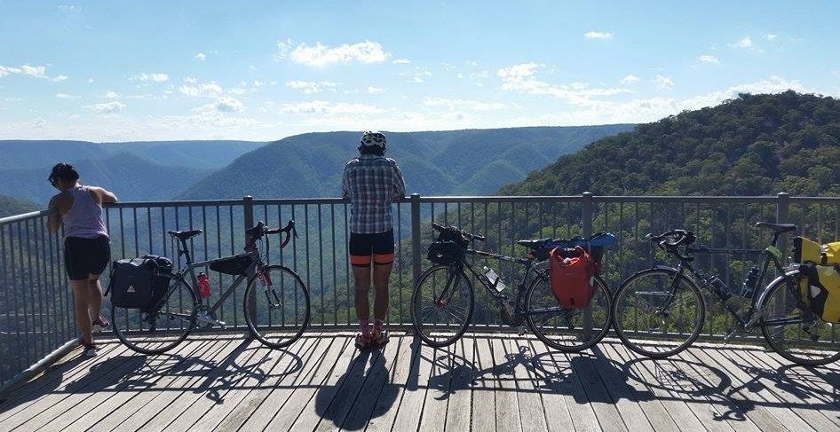
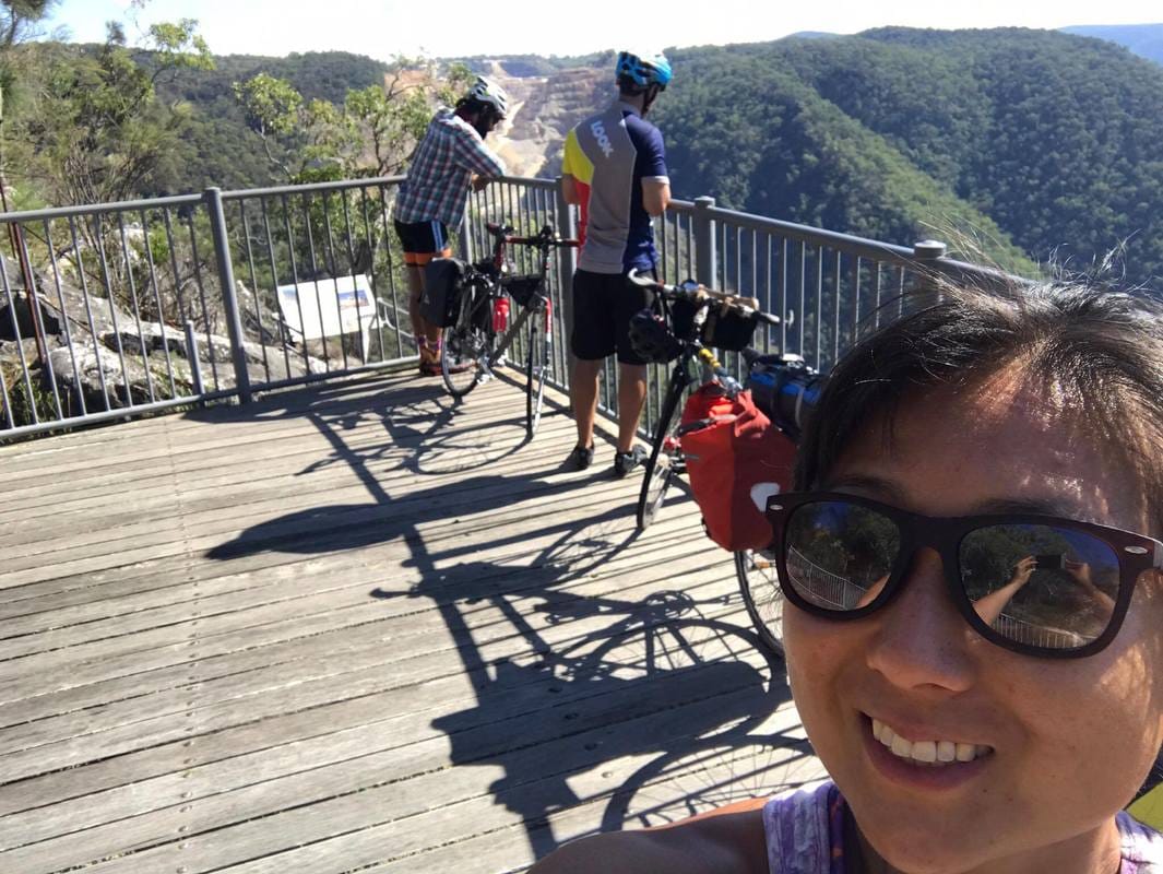
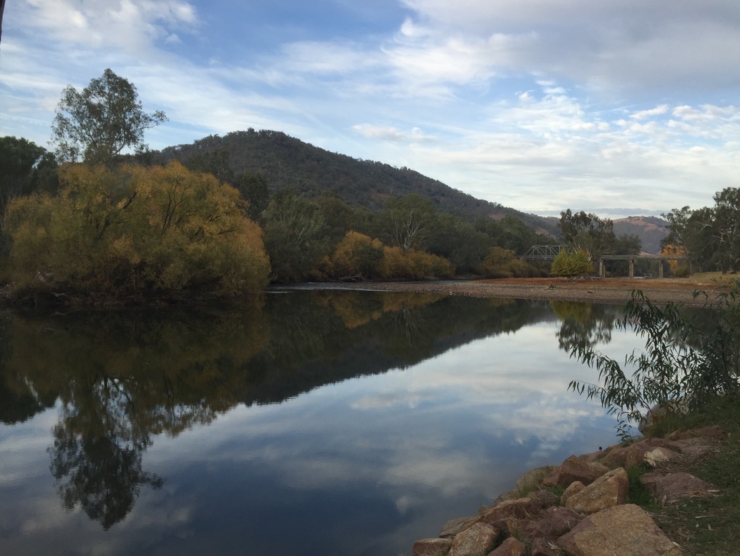
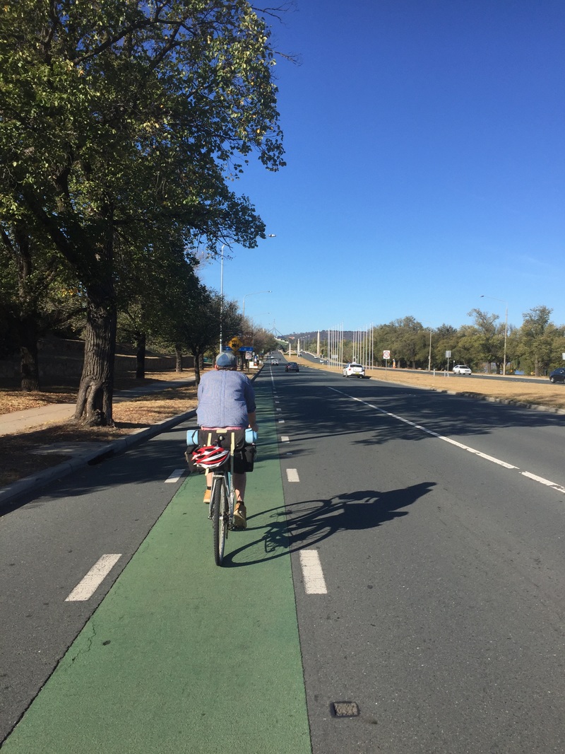
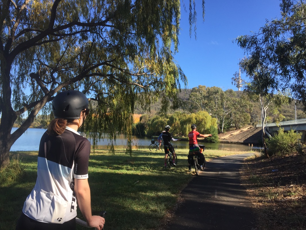
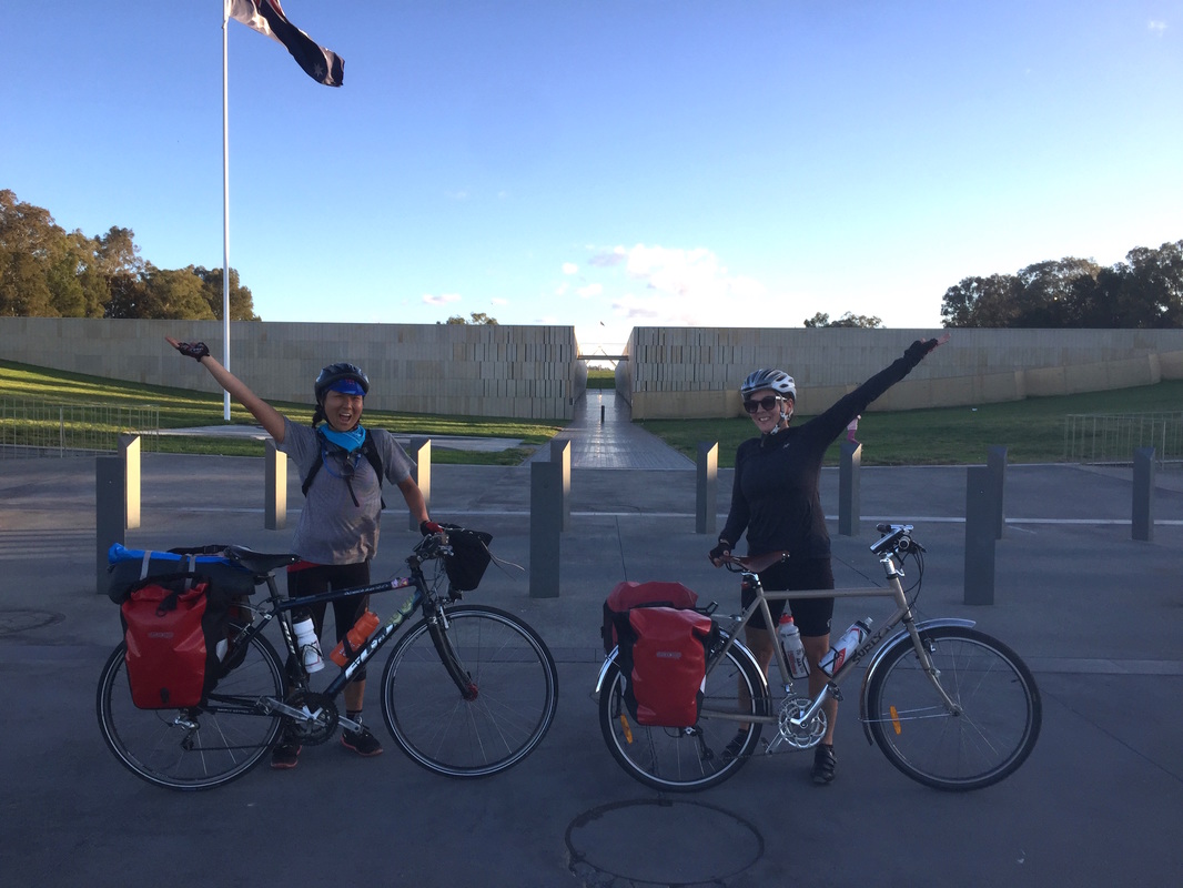
Some photos courtesy of @Elbosout 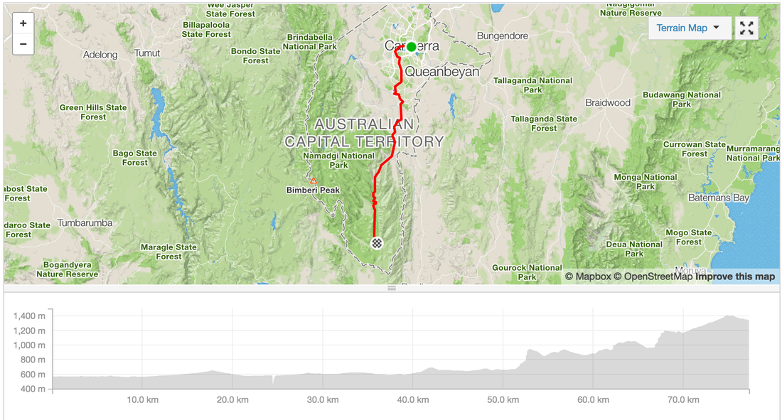 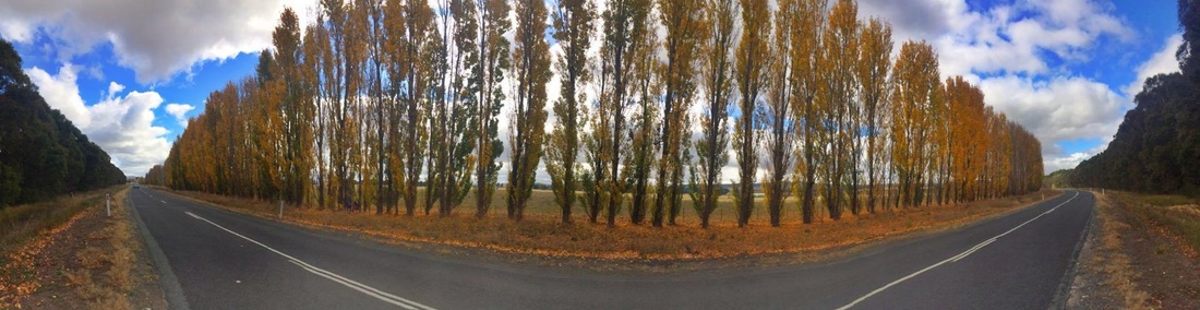 Route: link Strava: link Distance: 124 kms Elevation: 1100 m Start: Bungonia Campground End: Canberra bus depot Road: On road, some compact dirt with corrugations (not much not too bad) 20 kms on highway with small shoulder, in Canberra bike lanes Difficulty: Medium - Hard (highways weren't too pleasant) Highlights:
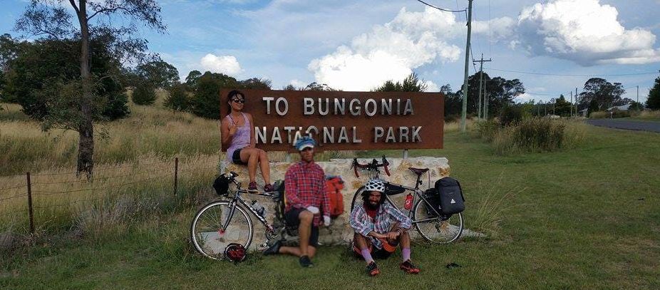
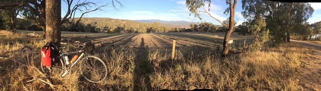
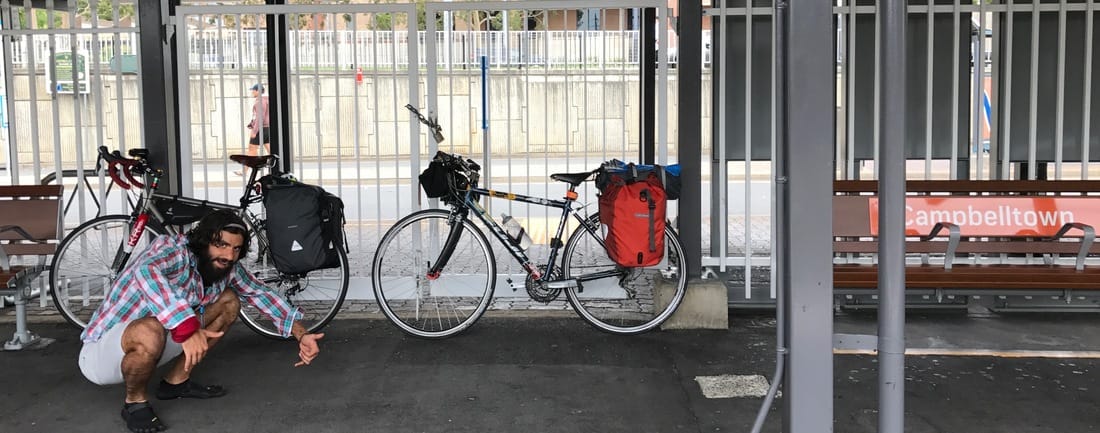
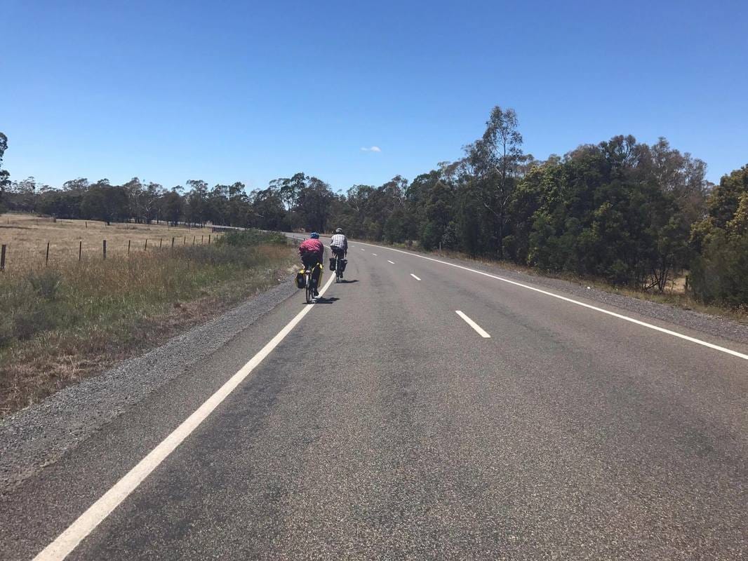
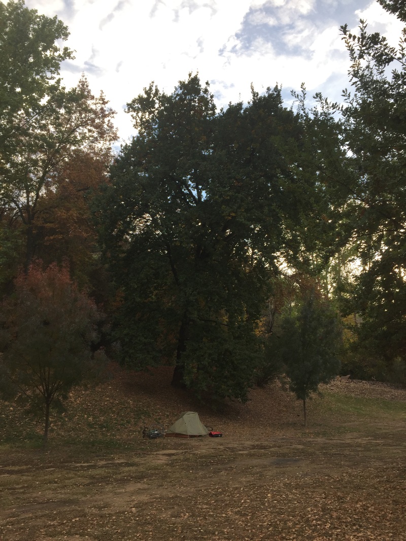
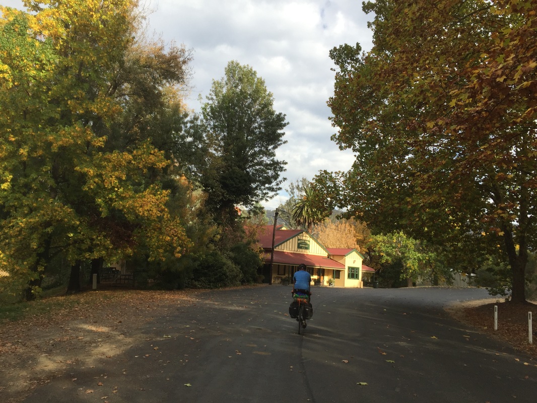
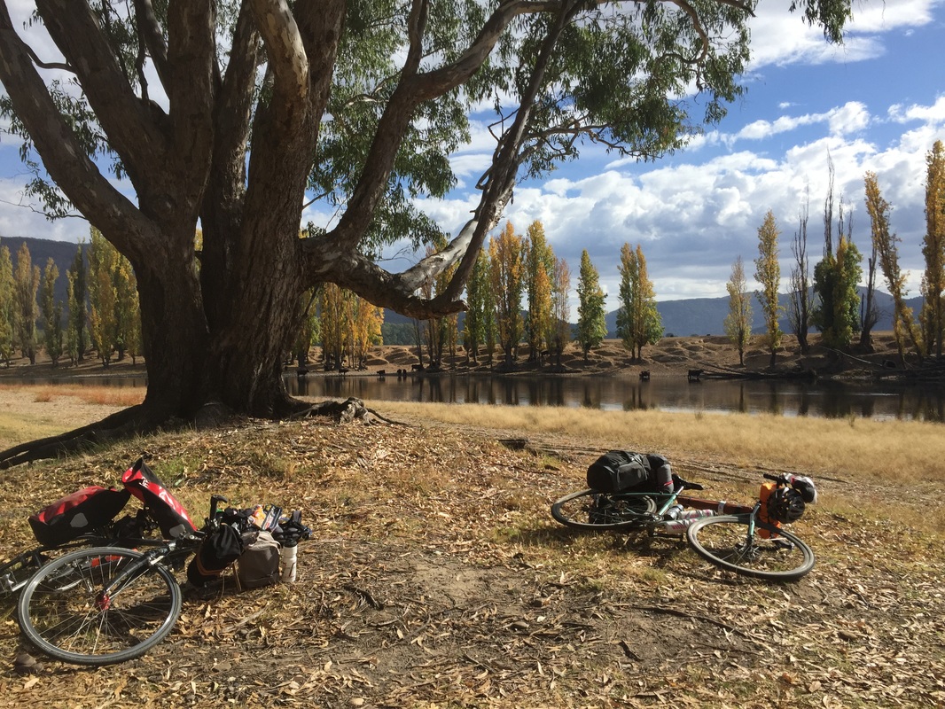
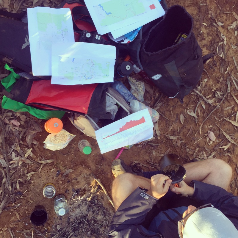
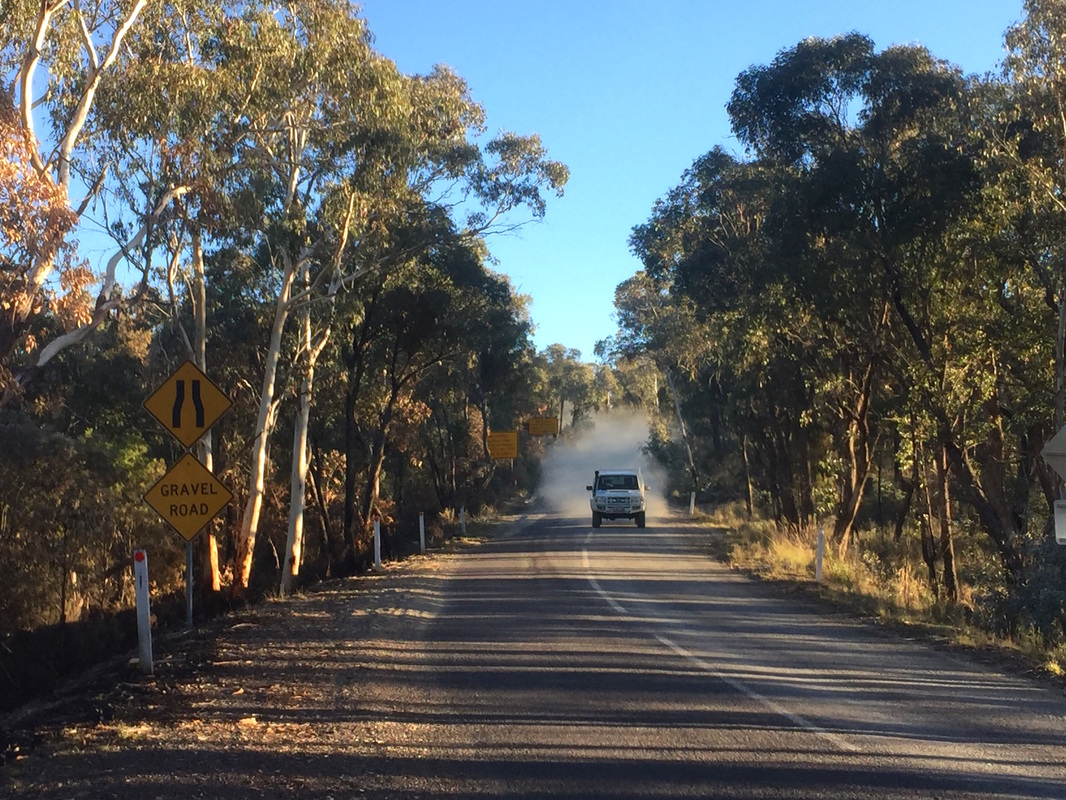
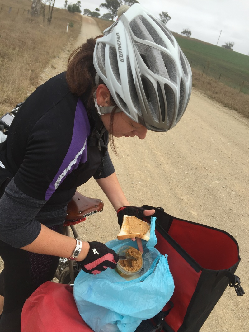
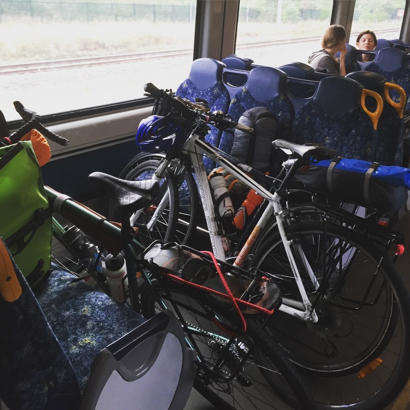
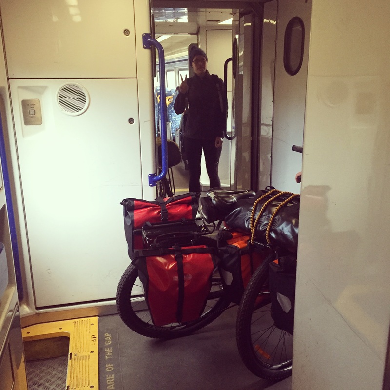
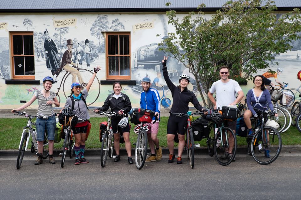
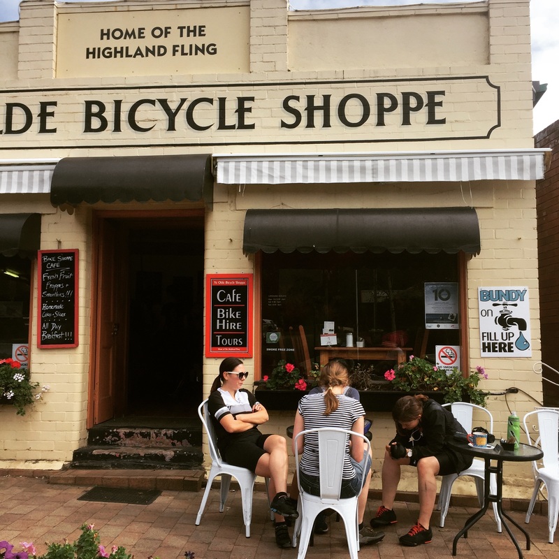
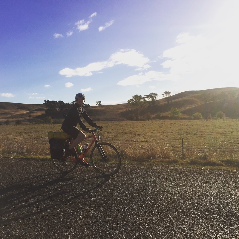
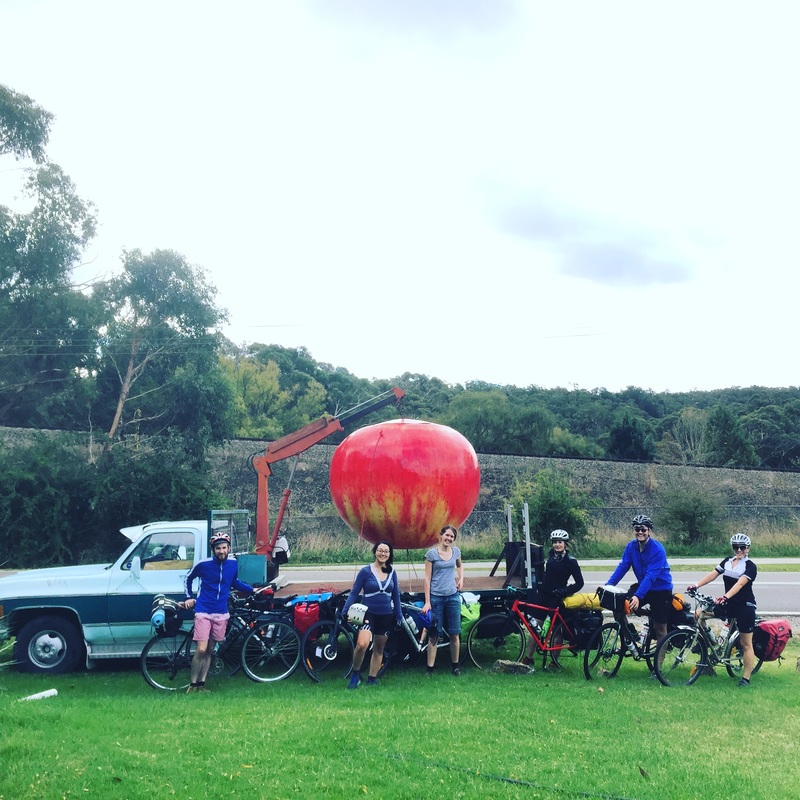
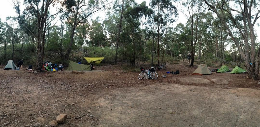
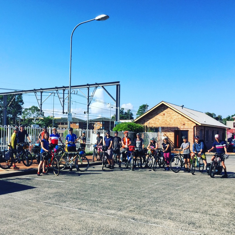
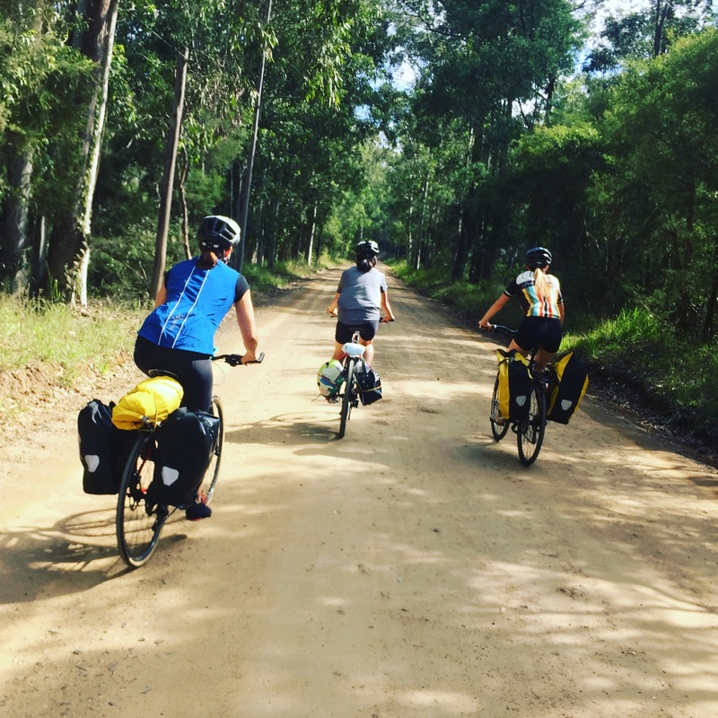
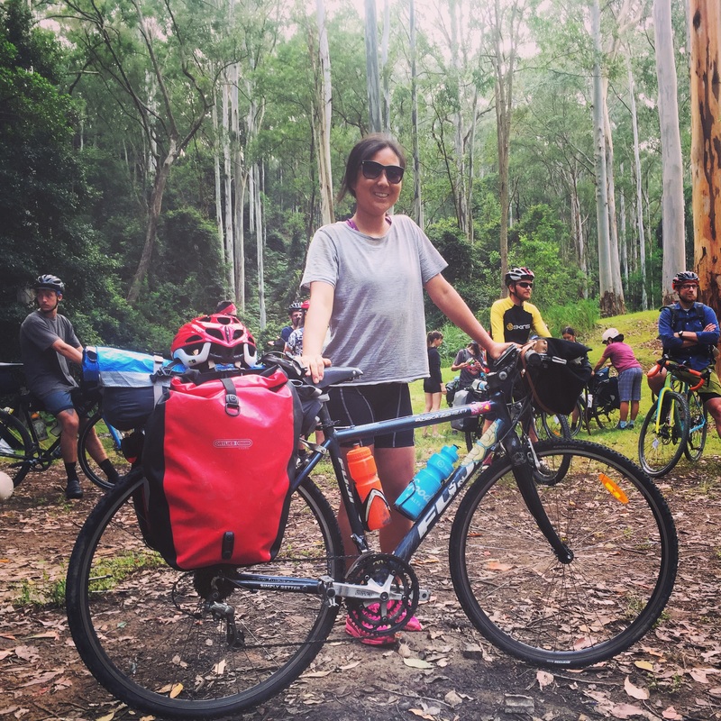
Panorama photos courtesy of J.Henderson. 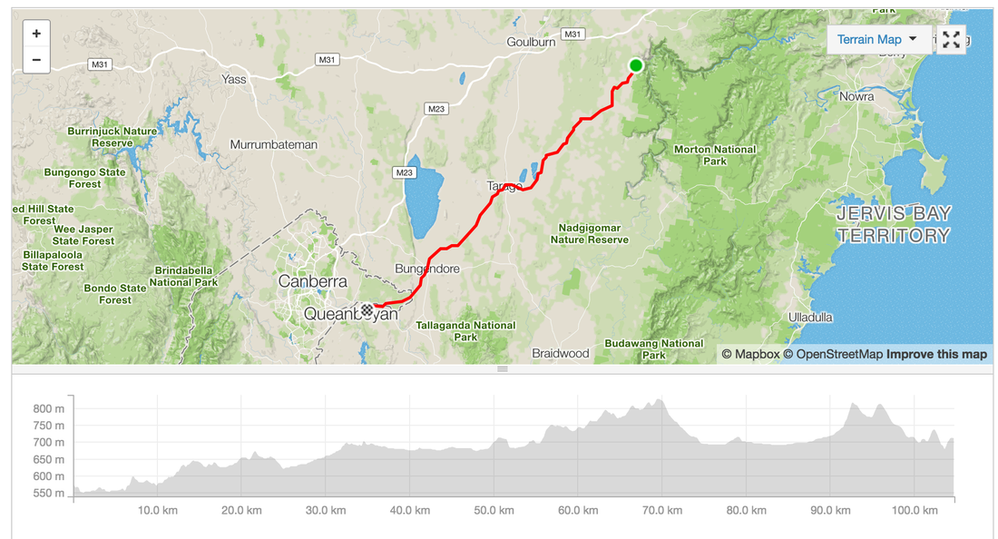 It's long weekend and I'm in between jobs so I figured I'd take this opportunity to do a cycle tour down through NSW. What started off as an idea for an overnighter turned into a week adventure through the Australia's highest mountain ranges in Kosciuszko National park. I managed to convince 5 others to come along on the first part to Canberra, a mini adventure with the SNR crew. After much planning between myself and a friend, lots of consultations of train times, locations, camping grounds. We finalised a route from Moss Vale to Canberra via Bungonia. The adventure began at 7:24am from Central station, trying to find the elevator up to the platform is a nightmare (go to the Eddy Ave side first). We caught a "normal" 8 carriage train out to Campbelltown then changed over to the train for Moss Vale. Although the train ride was completely covered by the opal card, we didn't realise the train to Moss Vale was very different to the Sydney trains. It was 2 carriages, had space for 2 bikes to hang off a hook and no in between spaces. Somehow we managed to squeeze bikes into the passenger part and lie them ontop of each other. Train ride duration: 2h 30 mins Start: Central Station End: Moss Vale Station Ride Start: Moss Vale Station Ride End: Bungonia State Forest Camping grounds Distance: 79 kms Elevation: 730 m Difficulty: Easy, Medium Road Conditions: On Road (bituman) in back countries, 10 kms on highway with wide shoulder Route Map: link Strava: link Moving Time: 4h 30min Total journey time: 6h 20mins Pitt Stops:
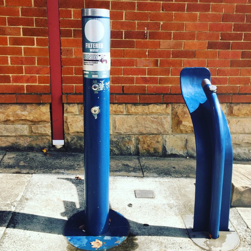
Camping site: Bungonia Campgrounds, booking required and has charges. Facilities are out of this word. Filtered water, hot showers, gas bbq outside, gas stoves in an common room Highlights:
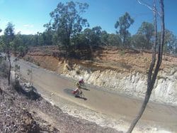
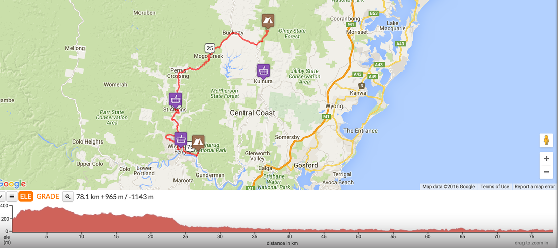
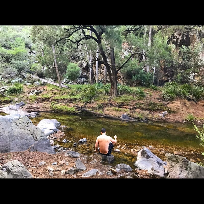
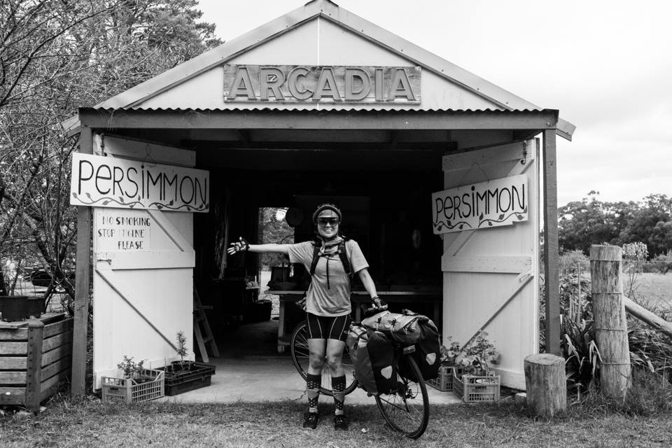
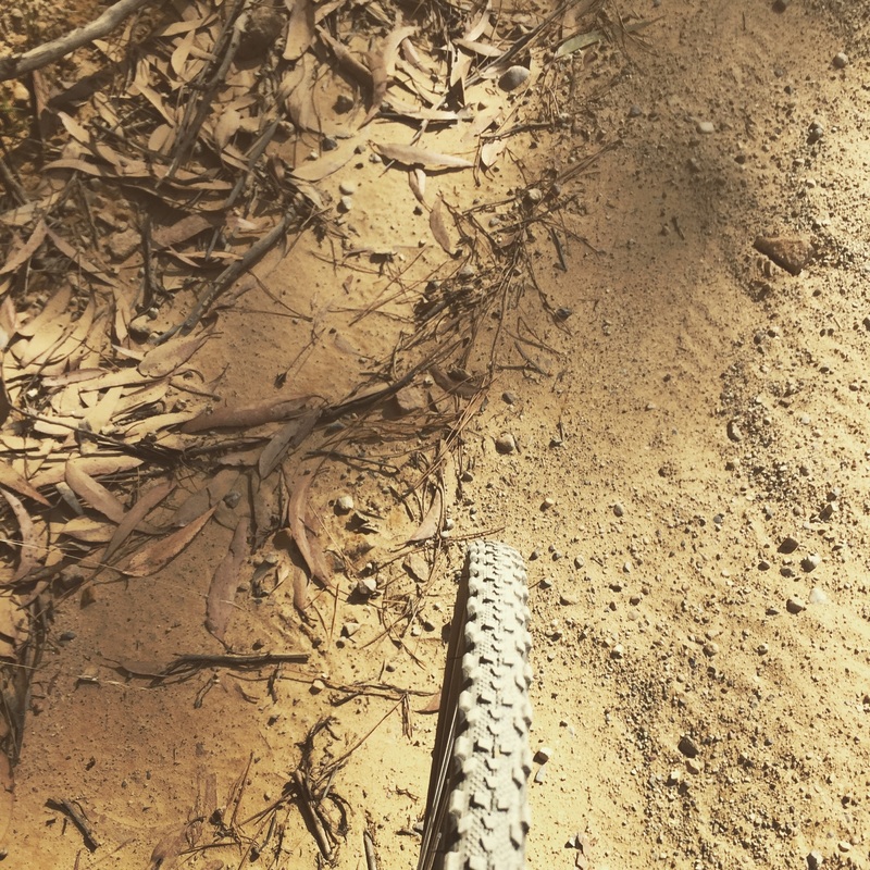
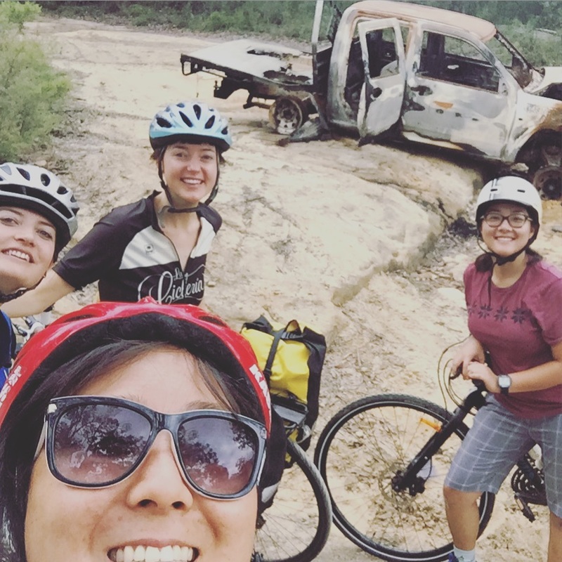
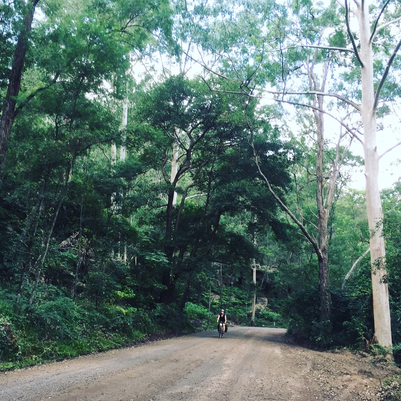
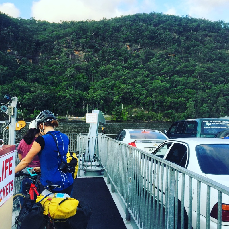
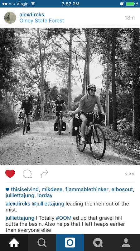
Some photos courtesy of this beautiful rider @alikjones 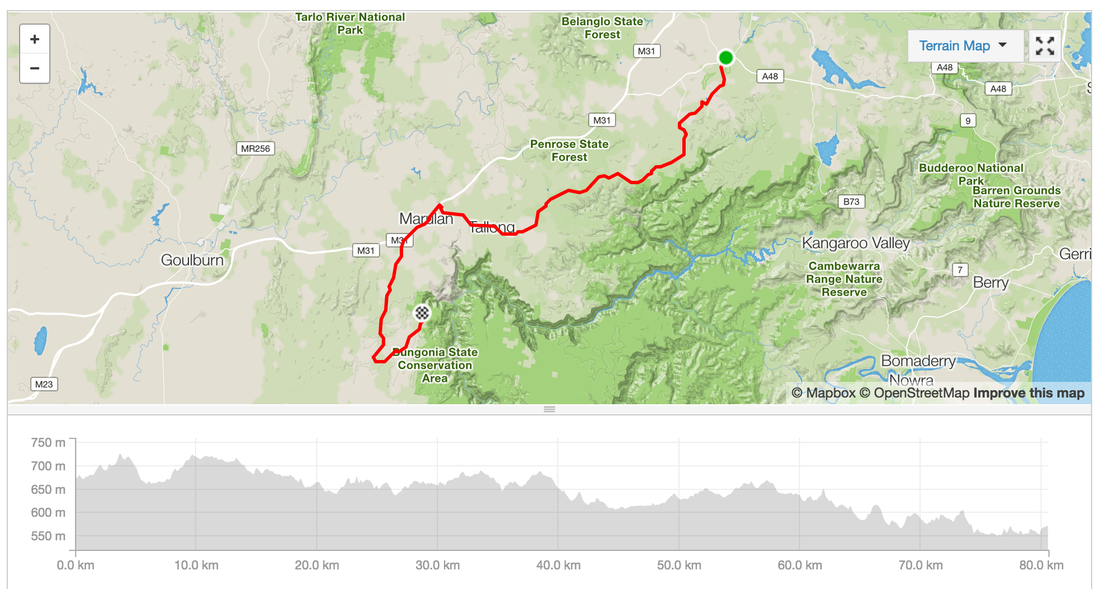 I ate a lot of dust this weekend. Actually only when I was riding on the dirt, gravel, corrugated gravel, off road roads. There was much anxiety and fretting over whether my Fuji hybrid would be able to handle the Easter tour. Eventually I borrowed some knobbly tyres from a friend, switched them onto my Fuji, strapped on my tent and borrowed panniers on another cycle touring adventure. Day 1 - Wyong to the BasinRoute: link Distance: 77 kms (if you go to the cafe) 67 kms (if you don't go to the cafe) Elevation: 1308m Road conditions: Dirt, gravel, bitumen, corrugated gravel, down hills, ditches, everything Start: Wyong station (catch a train from Central station 2 hours) Finish: Basin camping, Olney State Forest 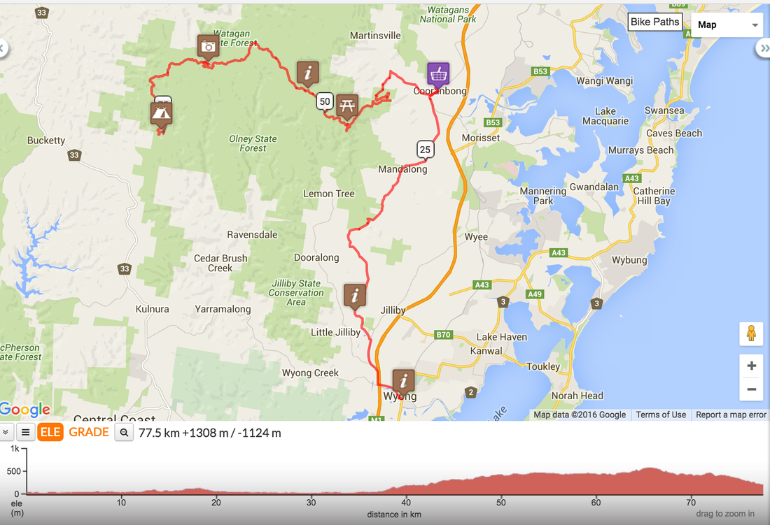 Day 2 - Basin to Wiseman's ferryRoute: link Distance: 78 kms Road conditions: Gravel hill out, undulating dirt roads, corrugated gravel road, bitumen, free ferry to Wiseman's ferry, another ferry to Mill Creek camping grounds Start: Basin camping ground Swim stop: St Albans Lunch: Settlers Arms pub, St Albans with live music Finish: Mill Creek Campaign ground, 6 kms from Wiseman's ferry Highlights:
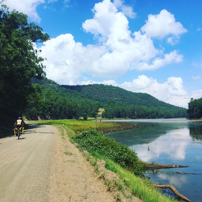
 Day 3 - Mill Creek to WindsorRoute: link Distance: 60 kms Road Conditions: Bitumen, mostly along the Hawkesbury which doesn't see much traffic. Start: Mill Creek camping grounds Coffe: Wiseman's ferry cafe Lunch: Sackville ferry stop, packed lunch Finish: Windsor station Beware: Bogan redneck drivers and houses with the Eureka flag Highlight: Riding along the Hawkesbury river 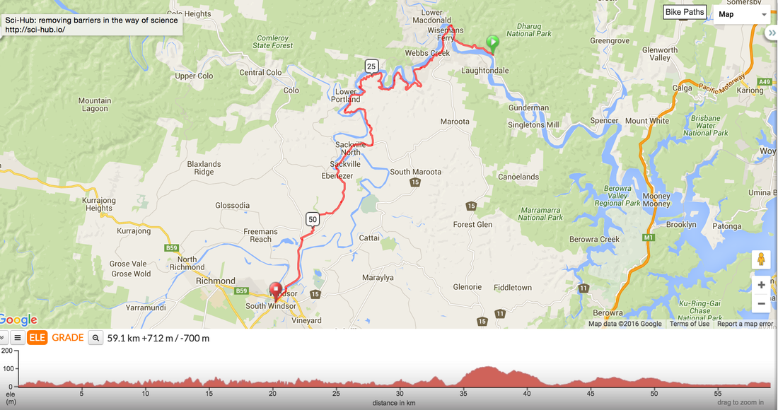 |
Archives
July 2023
Categories
All
|


 RSS Feed