|
Watching the peak hour traffic from the balcony above the entrance to the City of Amsterdam from the City of Amsterdam council's building is fascinating. The ring road carries heavy vehicle traffic, but it is prevented from entering the centre of the city. Instead you can see the most people use other transportation networks, bicycles, trams, and walking, to get into and out of the centre. What amazes me is the flow and efficiency of each of the modes and how balanced they are.
0 Comments
I just moved to a new area and begins the process of finding the best route to get anywhere. Good luck to any one new in Sydney let alone old time Sydney siders trying to figure out where the buses go. The Sydney Buses website lets you download a Pdf after you select the bus route number.
They assume you magically know what the route number is 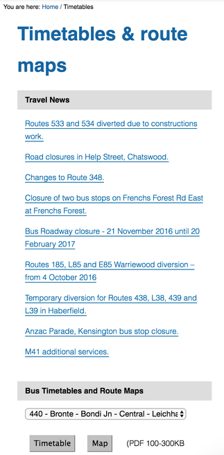
An interactive map with all modes of transport
I want to be able to see what modes of transport are available in my area so I just start plotting away.
I used carto to quickly plot out some networks.
|
AuthorBlogging about all things that create beautiful healthy communities, active transportation and tech. Archives
January 2019
Categories
All
|
 RSS Feed