|
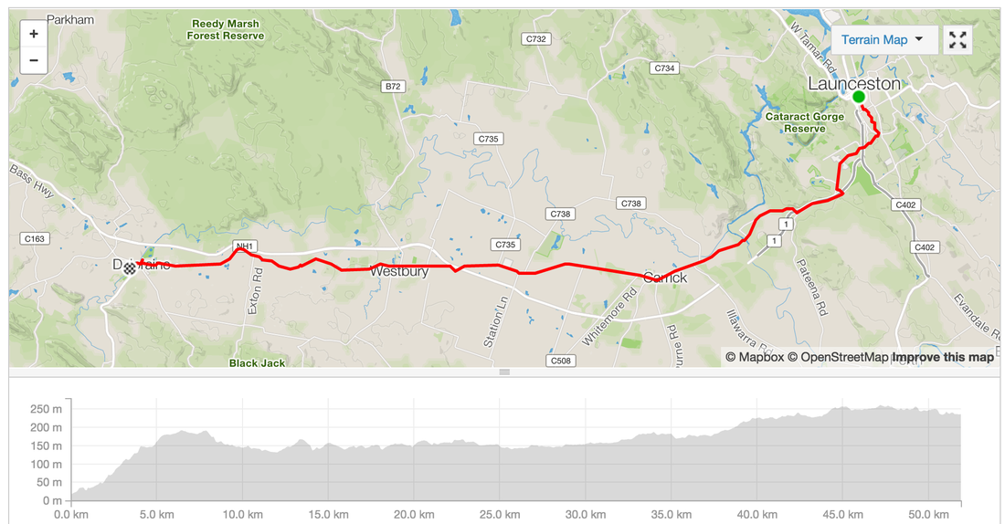
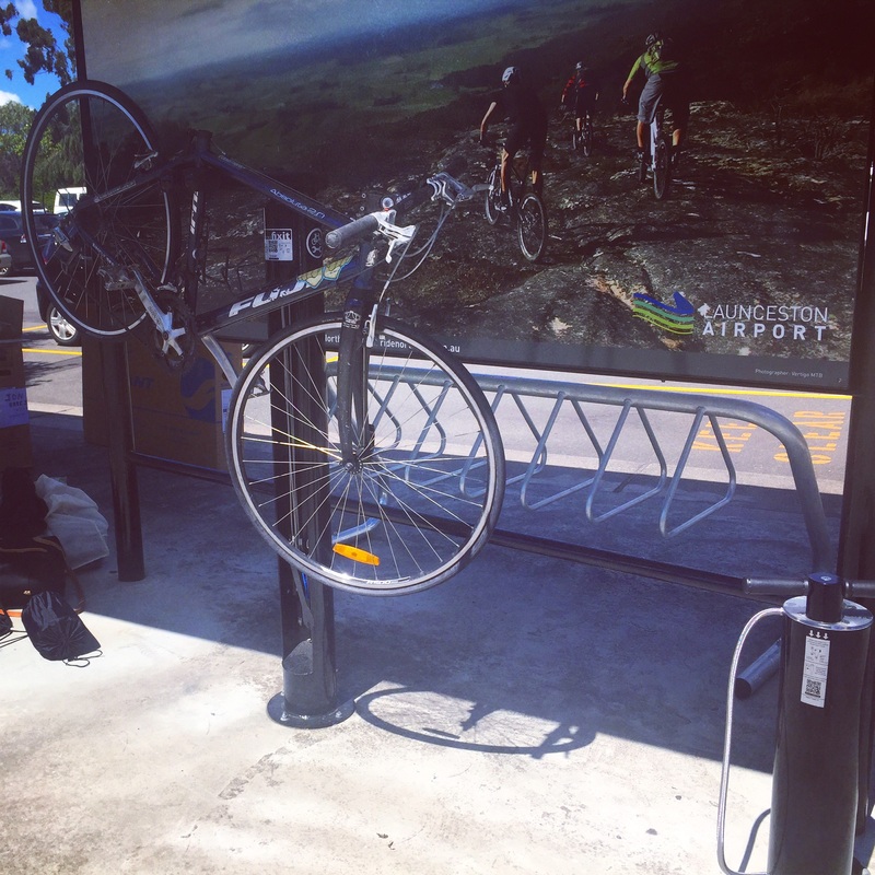
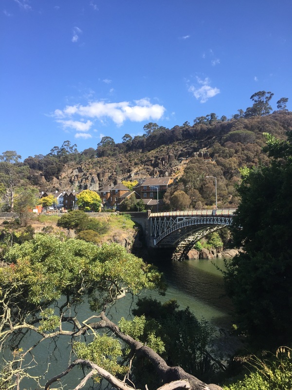
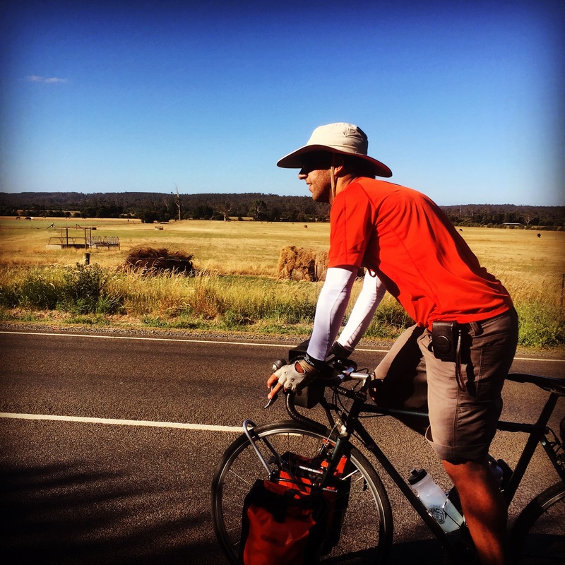
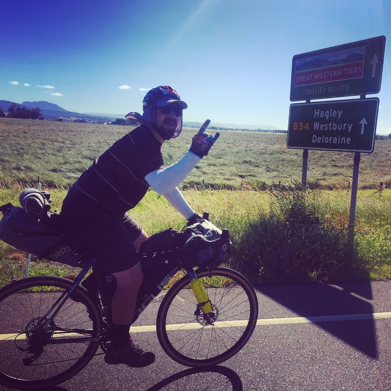
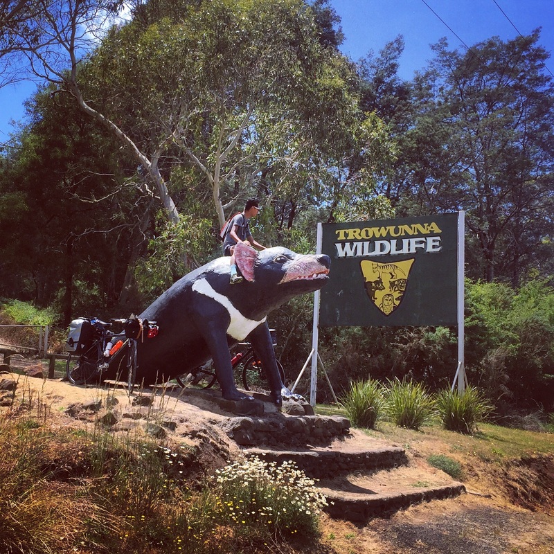
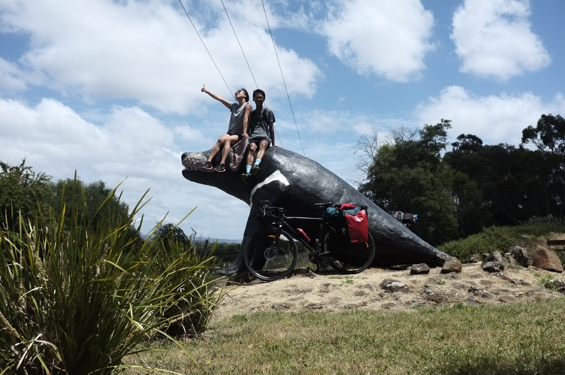
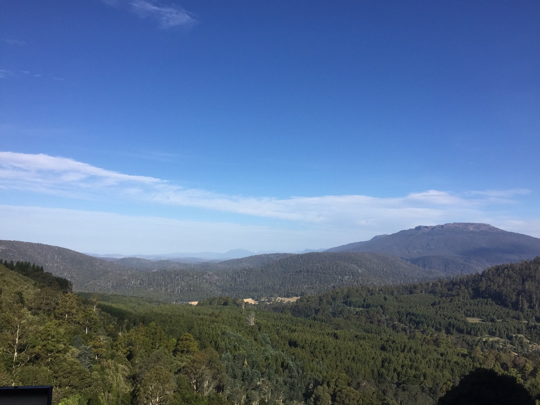
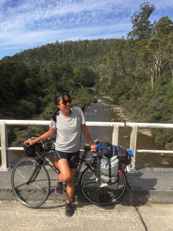
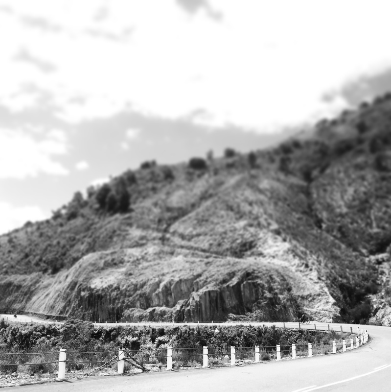
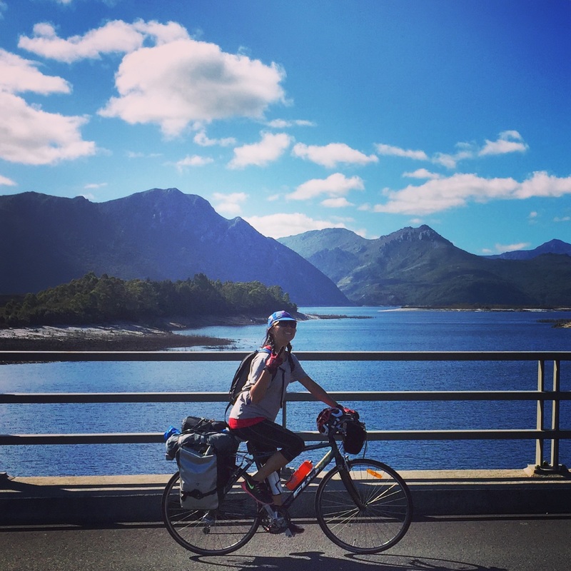
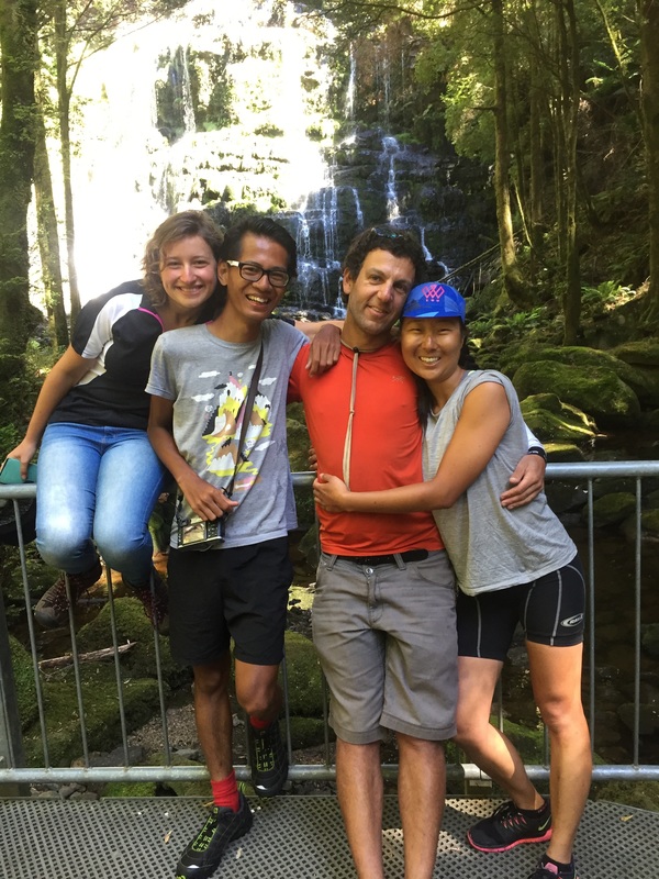
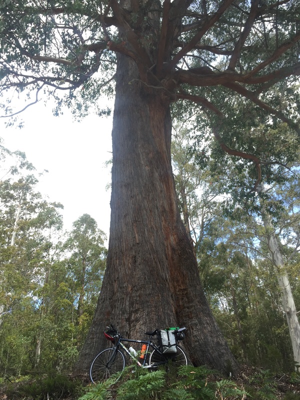
A couple of friends and I decided to cycle from Launceston to Hobart (through Cradle mountain). I found a guide on the Discover Tasmania website with info from Hobart to Launceston but it warned us of the lack of food and water stops in the area. So we spent many hours trying to figure (google) out how not to starve, I'm writing it up in case it might help others. In the end the West Coast is BEAUTIFUL and mountainous! I felt like I was in the Swiss Alps (or what I imagine the Alps to look like, it's on my bucket list). The valleys, rivers, and lakes. The interesting towns we rolled through. The final stats Distance Travelled: 721.1 kms Elevation gain: 11, 186 metres Baked Beans: 3 cans Fights: 2 Muesli bars (per person): 3 a day = 27 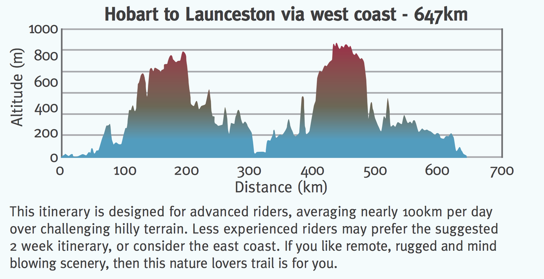 Day 1 - Sydney - LauncestonFlew from Sydney to Launceston, arrived at 12pm. Setup bike at the airport (the airport has 2 bike stands with bike tools). Yes it's amazing. Ride from the airport to the main city grabbed lunch at a bakery. Cruised around town, check out the James Boag's brewery and the gorge. Launceston Highlights: Warning: This city be hilly! Strava details: link 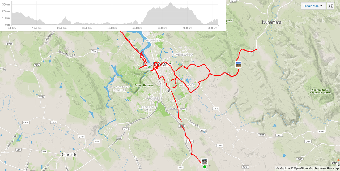 Day 2 - Launceston - Deloraine Route: Launceston - Deloraine Distance: 52 kms Elevation: Accommodation: Camping grounds by the river and a train line Shops: IGA, bakery, pubs, liquor store Highlights:
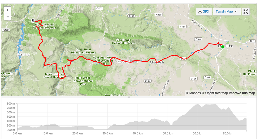
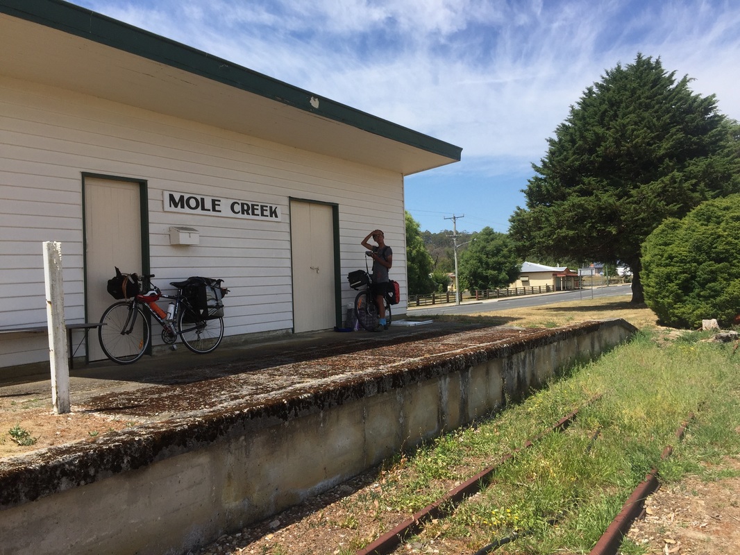
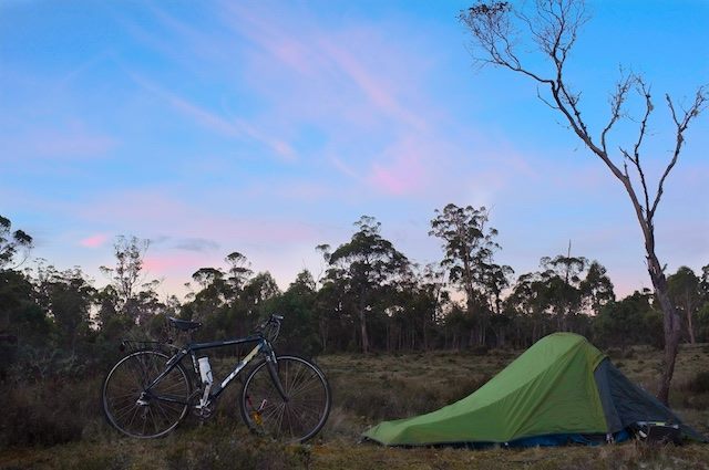
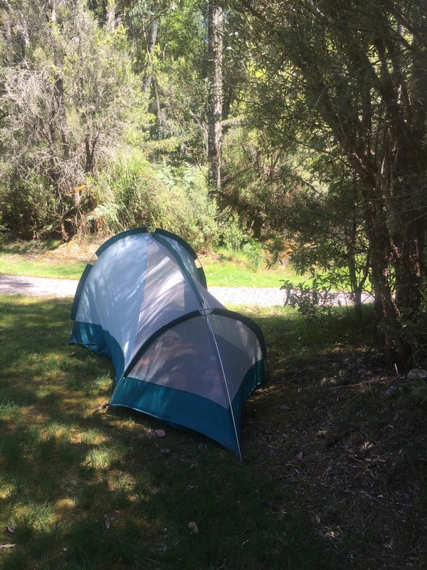
 Day 3 - Deloraine - Base of Cradle MountainRoute: Deloraine - Base of Cradle Mountain Distance: 76.1 kms Elevation: 1,460 m Accommodation: Behind the Cafe in someone's backyard (not recommended) Shops: Not much. Cafe at Cethane closed at night Highlights:
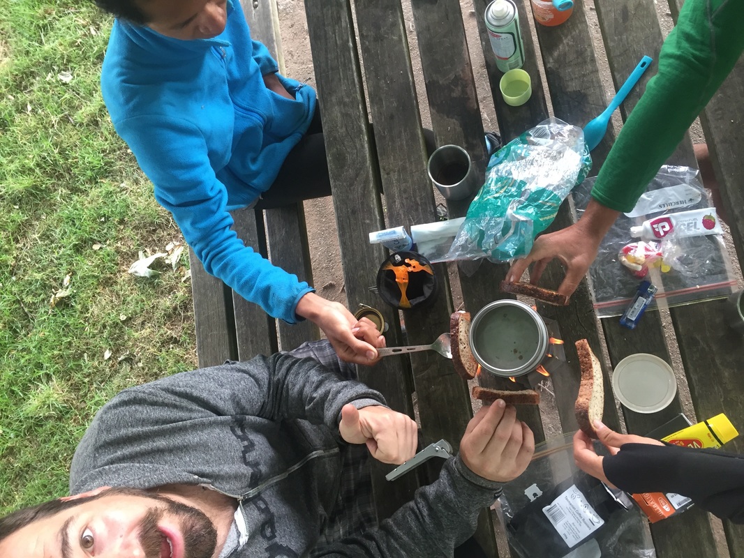
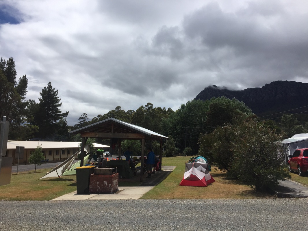
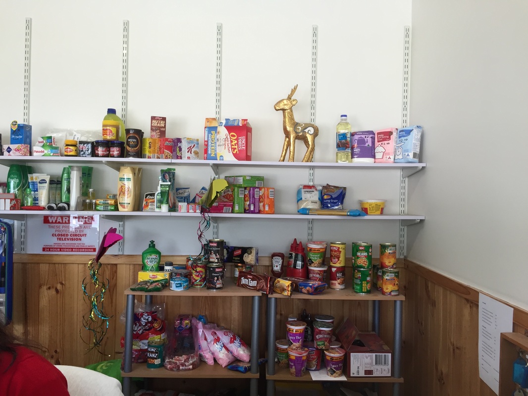
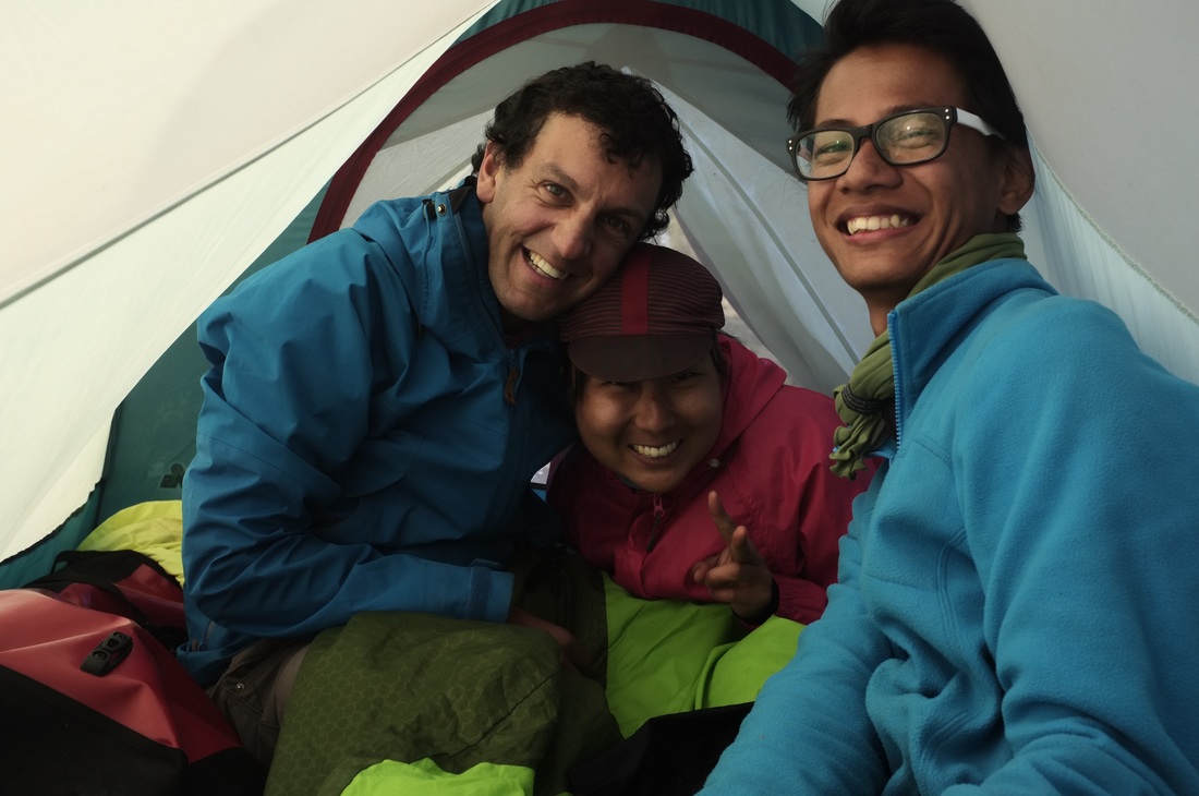
 Day 4 - Rain day means rest dayRained out Shops: Non. Limited supply of canned goods at Gowrie caravan park Accommodation: Cabin at Gowrie caravan park Highlights:
0 Comments
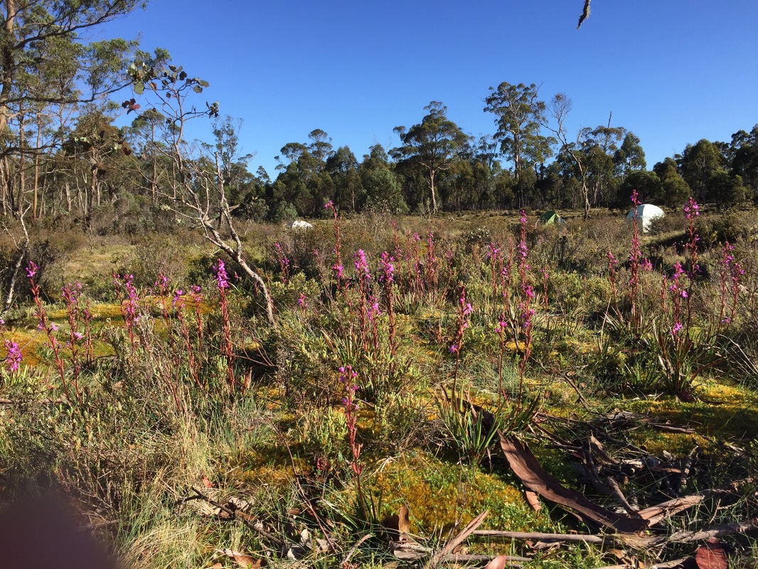
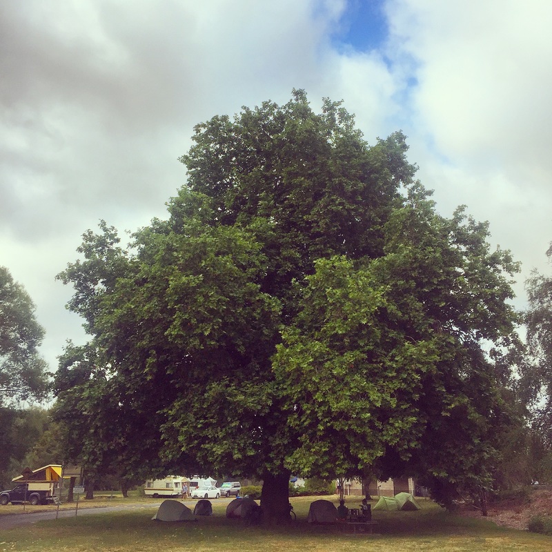
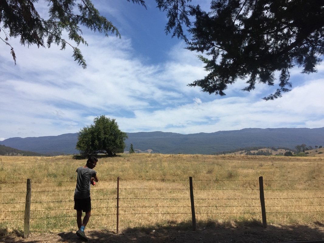
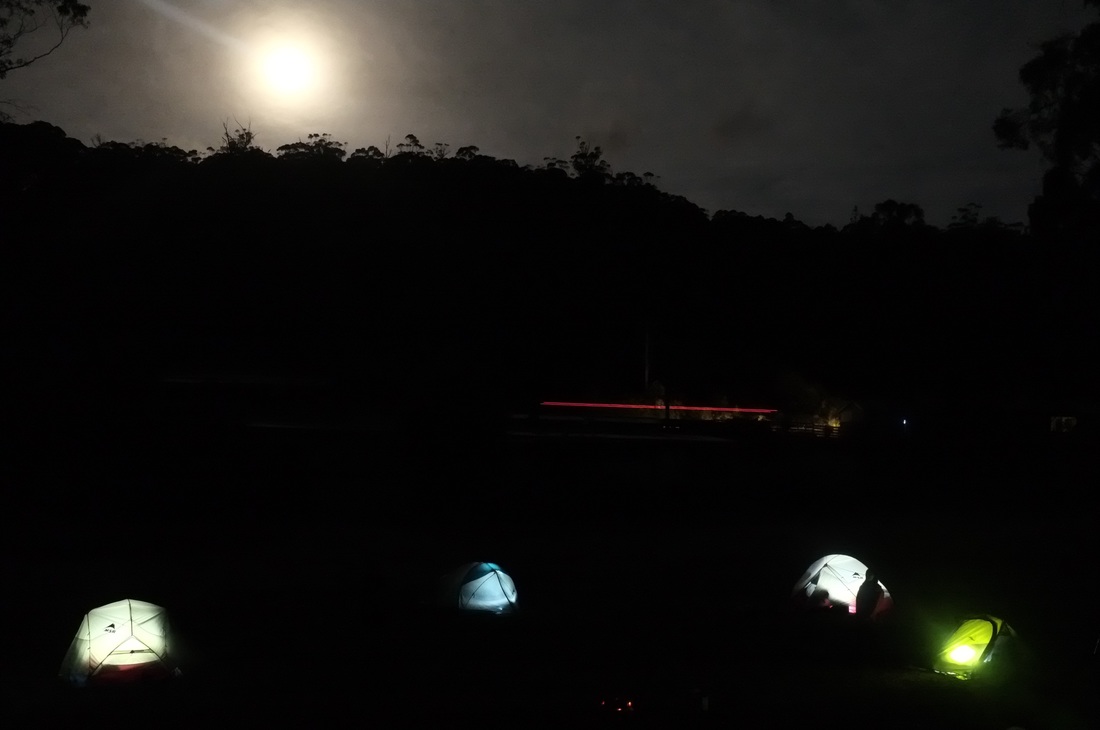
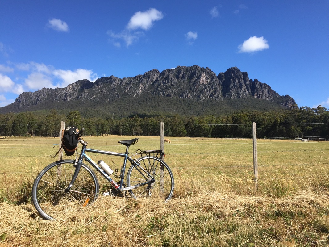
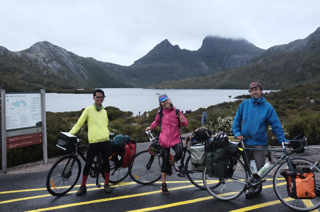
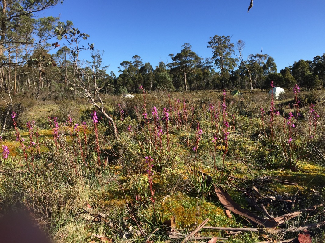
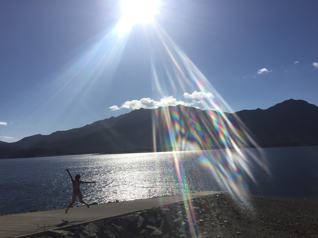
Day 5 - Cradle MountainDistance: 78.5 kms Elevation: 2,112 m Accommodation: Side of the road in massive open fields in Belvoir Shops: No shops. Cafe at Cradle Mountain. Small shop at a caravan park near Cradle Water: No water at Cradle Mountain. Water at Belvoir (but didn't look too clean) Strava: https://www.strava.com/activities/457690542 Highlights:
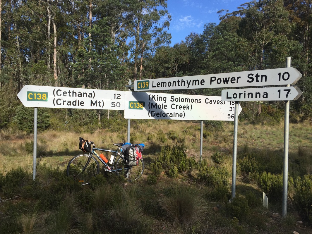
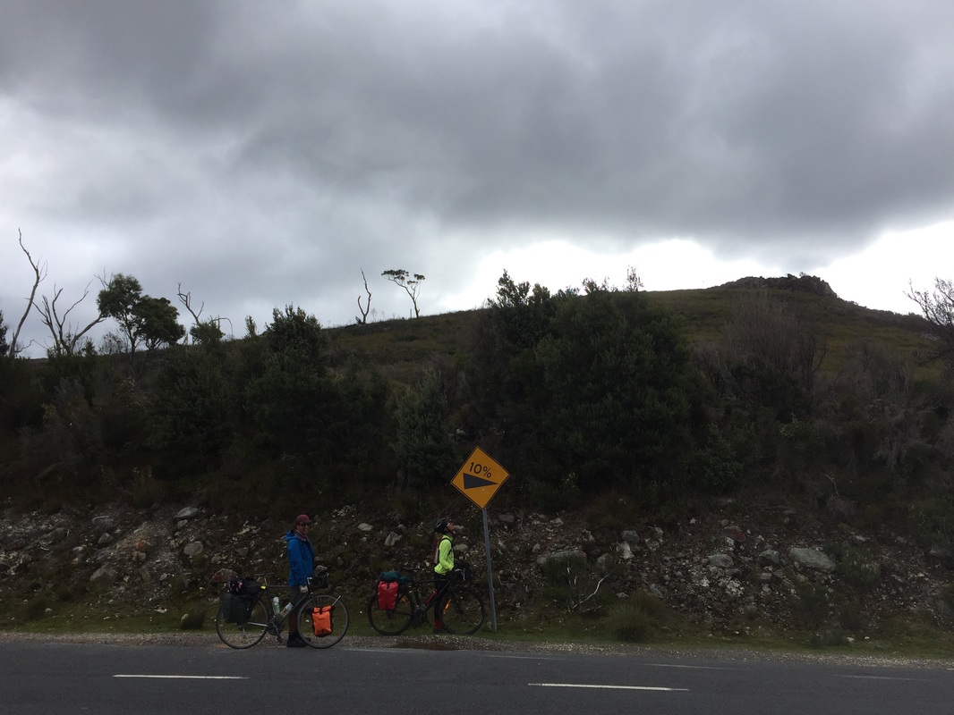
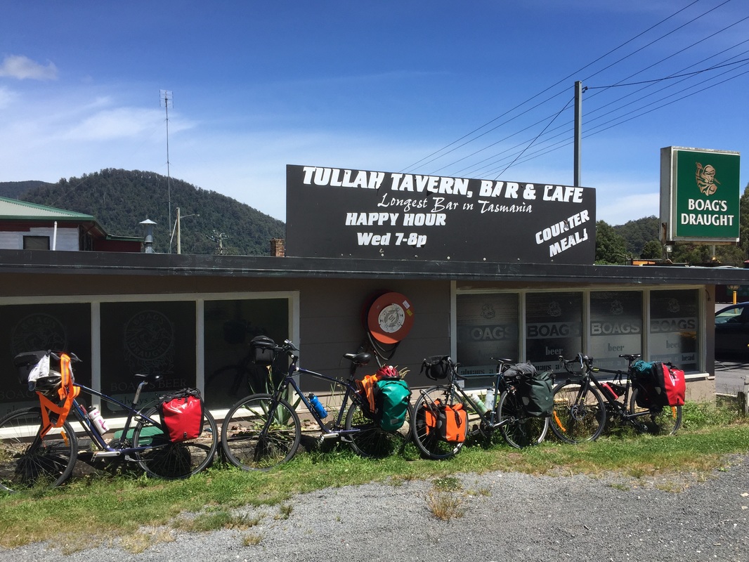
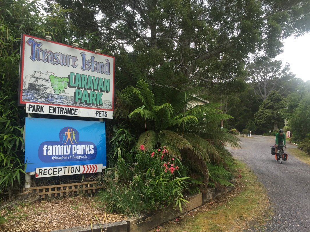
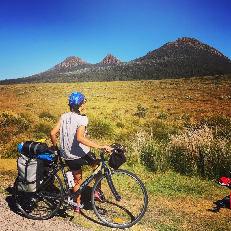
Warning: It's cold in the mountains and at night. 4 degrees. Bring thermals. 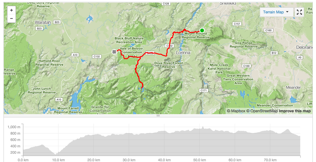 Day 6 - Belvoir - ZeehanRoute: Belvoir, Tullah, Roseberry Distance: 83.6 km Elevation: 1,280 m Lunch: Pub/Cafe in Tullah with sandwiches and burgers Food: IGA at Roseberry, IGA at Zeehan, Pub (not recommended) Accommodation: Treasure Island Caravan park at Zeehan Strava: https://www.strava.com/activities/457771928 Highlights:
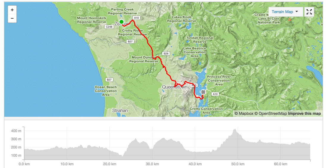
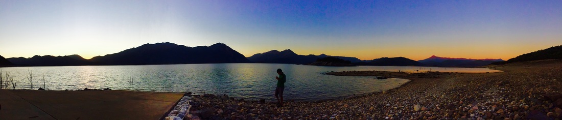
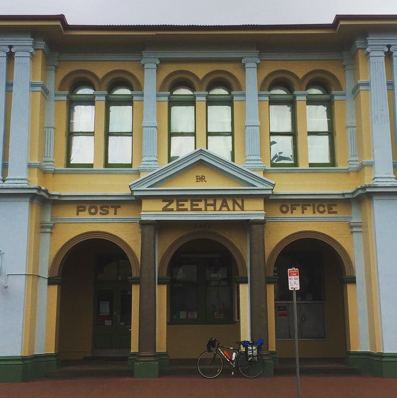
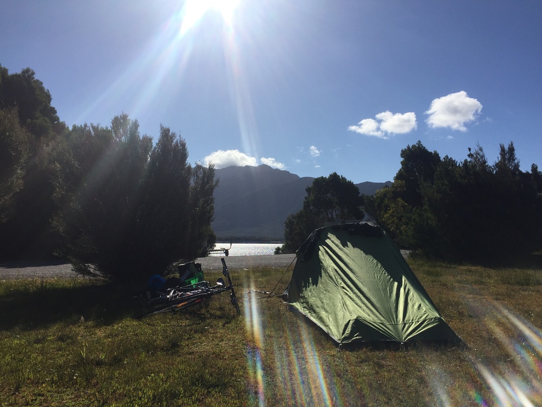
Warning: Zeehan looks rough but the caravan park people are very friendly 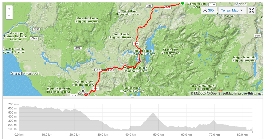 Day 7 - Zeehan - Queenstown - Lake BurburyDistance: 66.9 kms Elevation: 1,157m Strava: https://www.strava.com/activities/459154774 Shops: In Queenstown plenty of pubs, cafes, bakeries, IGAs, second store Accommodation: Lake Buubury Camping Highlights:
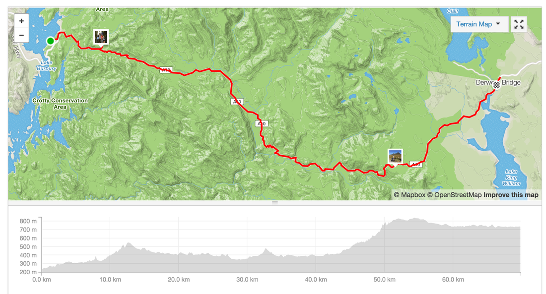
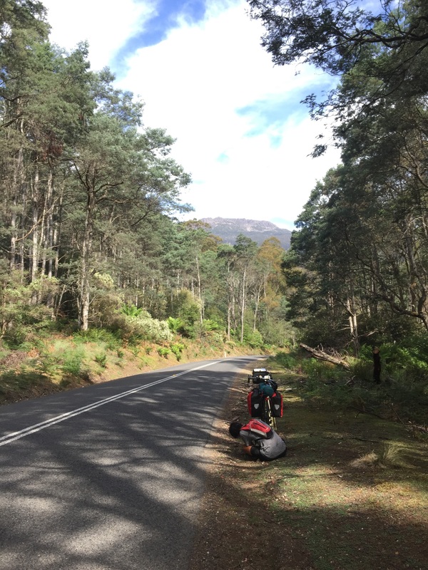
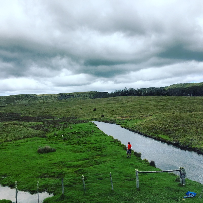
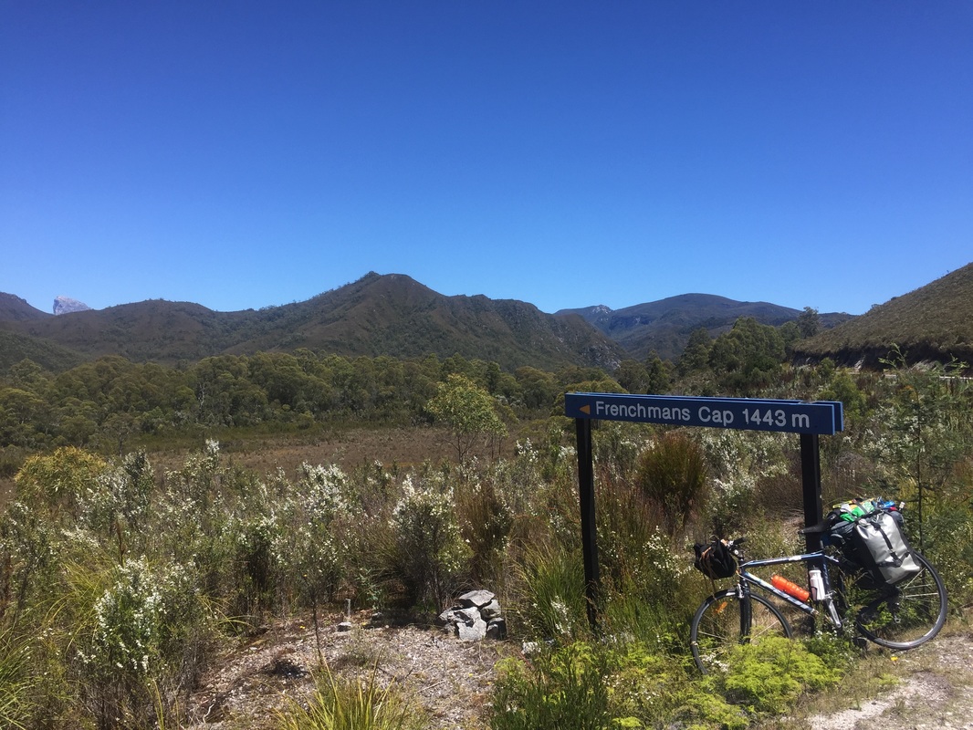
  Day 8 - Lake Burbury - Derwent Birdge - Lake St ClairDistance: 69.8 kms Elevation: 1,663m Shops: Grocery Shop at Derwent bridge closes at 6pm (yep we missed it). Massive pub with grub (pircey) Accommodation: Free camping (with National Park entry) inside the park along the walking trail, no shower facilities, water at the cafe, toilet is a dunny Strava: https://www.strava.com/activities/459145891 Highlights:
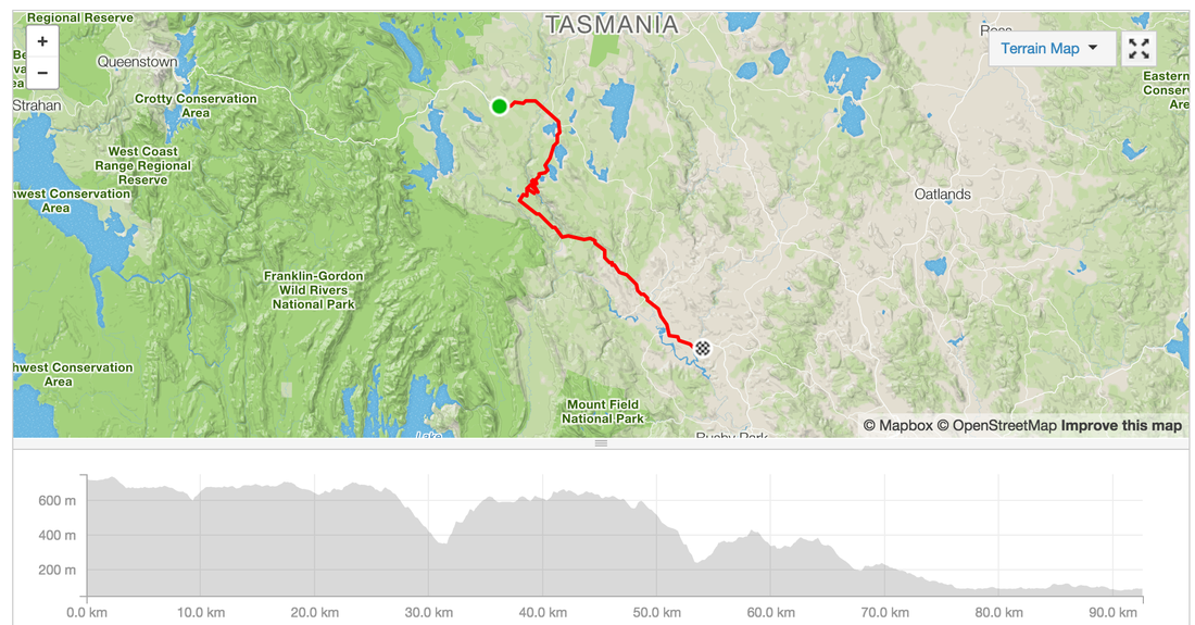
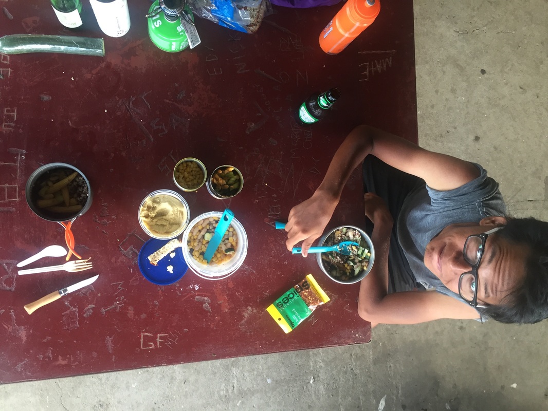
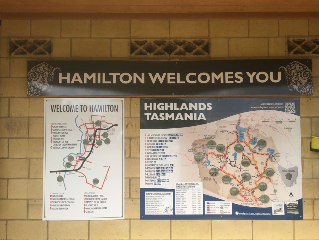
 Day 9 - St Clair - HamilitonIt's all downhill from now (kinda). Riding in 40 degree heats on the last day of 2015. I felt deserved a tub of ice-cream. Distance: 92.6 kms Elevation: 1,247 m Shops: IGA at Ouse, no facilities at Accommodation: Camping in Hamilton (coin operated showers) great facilities Strava: https://www.strava.com/activities/460412783 Warning: No shops in Hamilton. IGA in Ouse for supplies (groceries and a pub) Highlights:
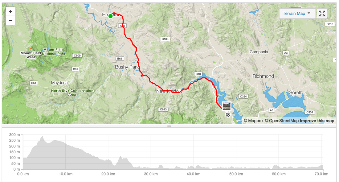
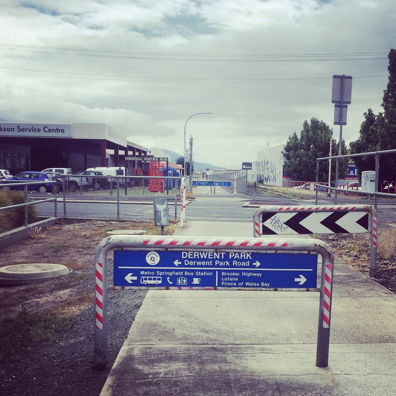
 Day 10 - Hamilton - HobartDistance: 70.4 kms Elevation: 614 m Shops: New Norfolk shopping centre Accommodation: Springvale hostel, New Town (boarding house converted to hostel during holidays) Warning: Winds! Strava link Highlights:
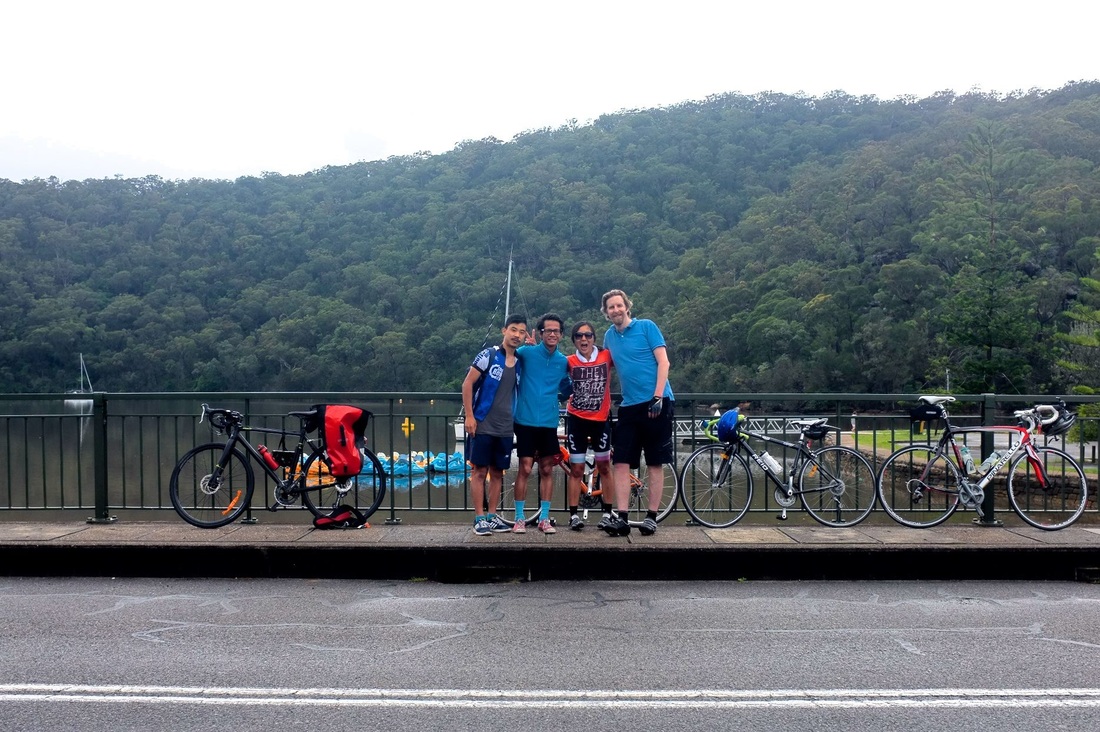
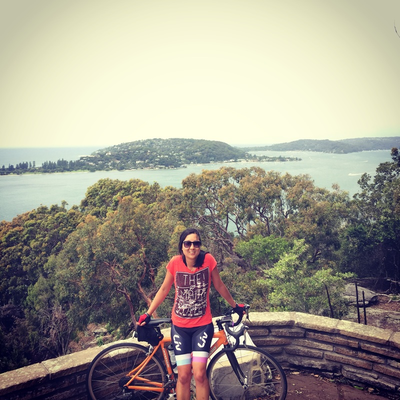
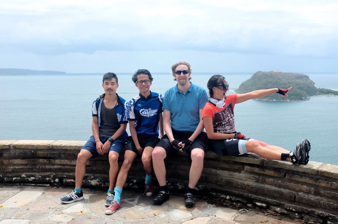
 I've spent the past 3 months working on the Sydney Night Rides group and organising rides which I'm already familiar with. So I haven't had much time to do discovery rides. I've enjoyed sharing the discovery of new places with others but today I finally got a hit of discovery and adventure through the Ku rin gai Chase National Park. Who would have thought them hills would lead to such beauties? This was supposed to be a training ride for the Newcastle Overnight trip (170km overnight from Sydney to Newcastle) so we mapped out a route with hills and thrills. To be honest I was determined not to do the extra bits to clock up more elevation. I didn't think I had it in me but after seeing the national park, the lakes, rivers, smelling the national forest I didn't want to leave the Park. Amazing Views from:
Places to eat at:
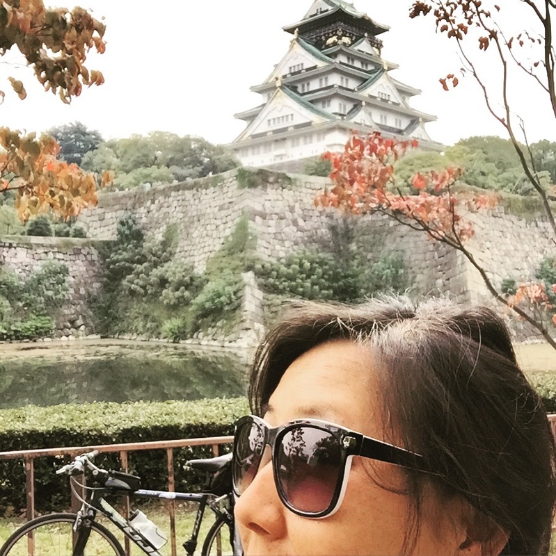
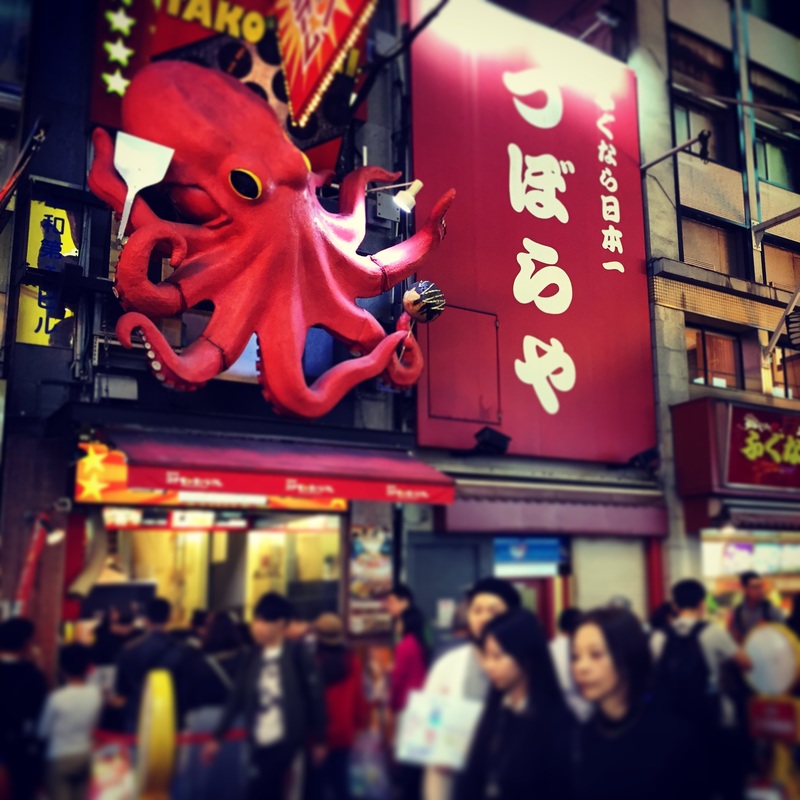
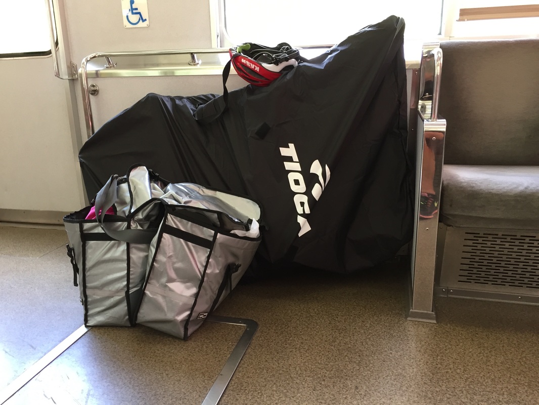
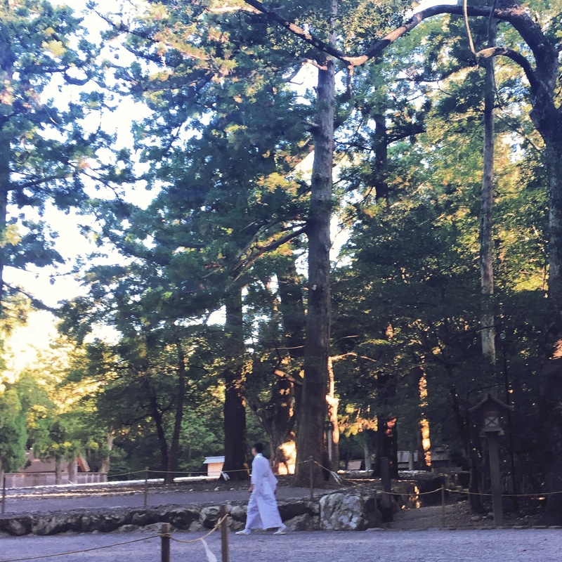
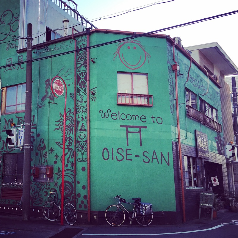
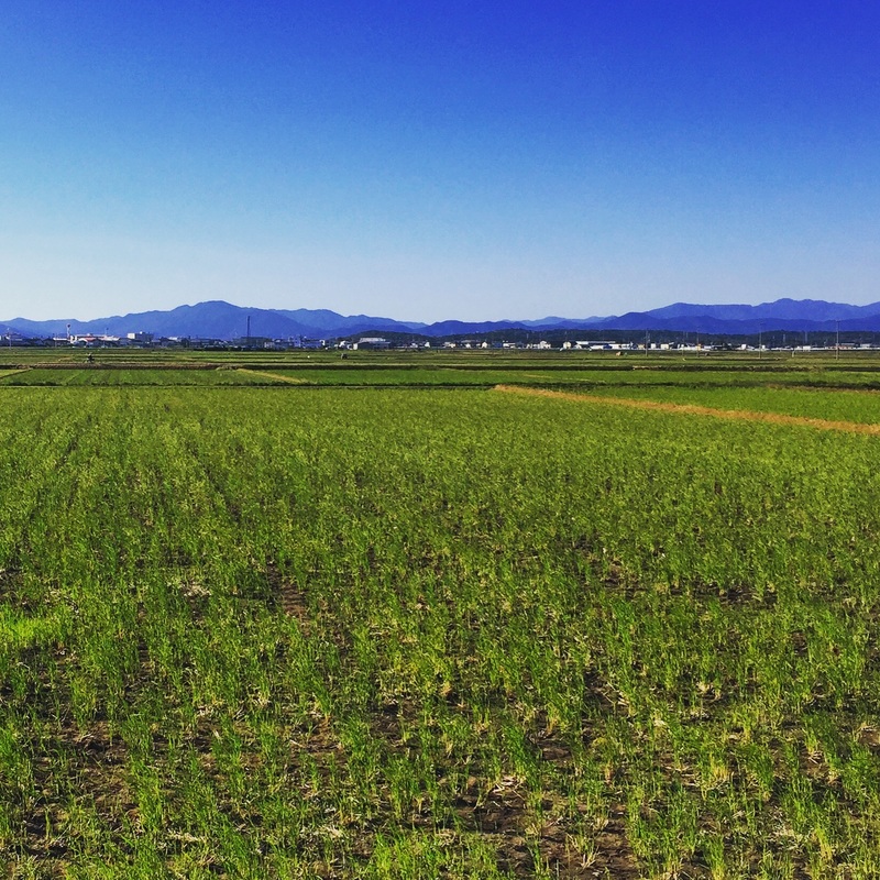
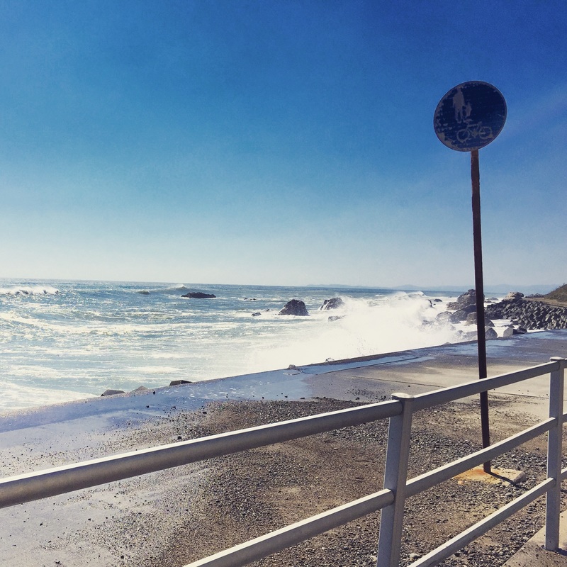
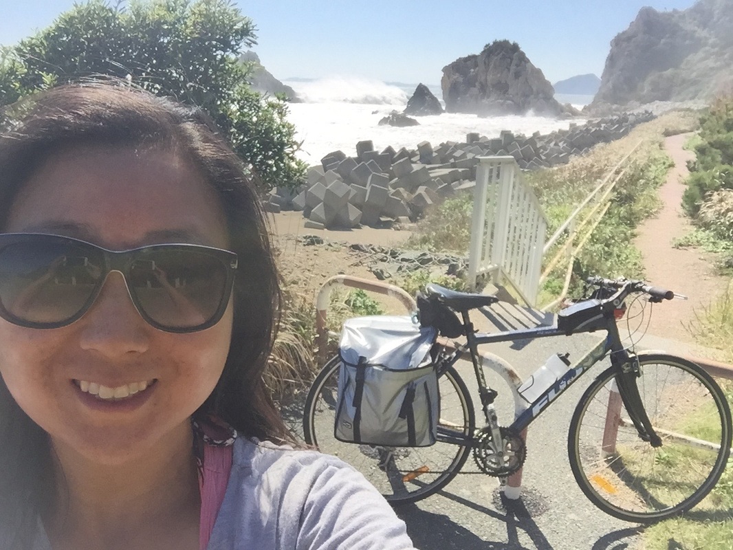
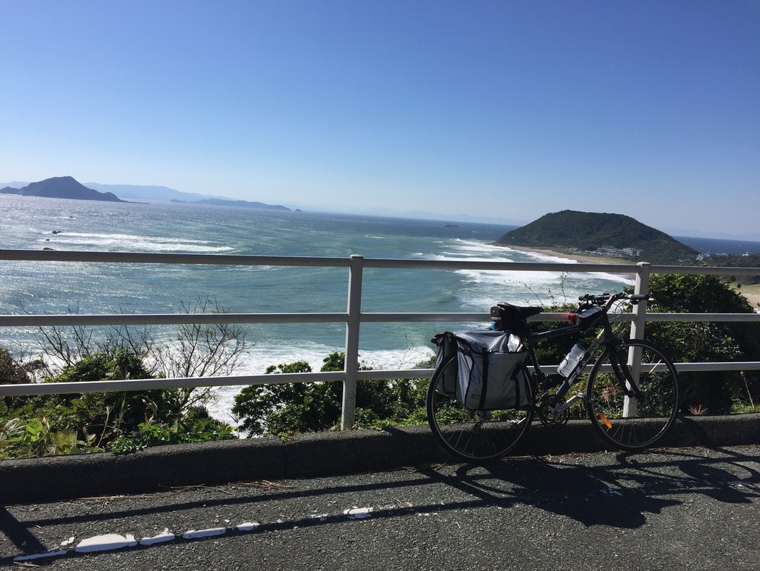
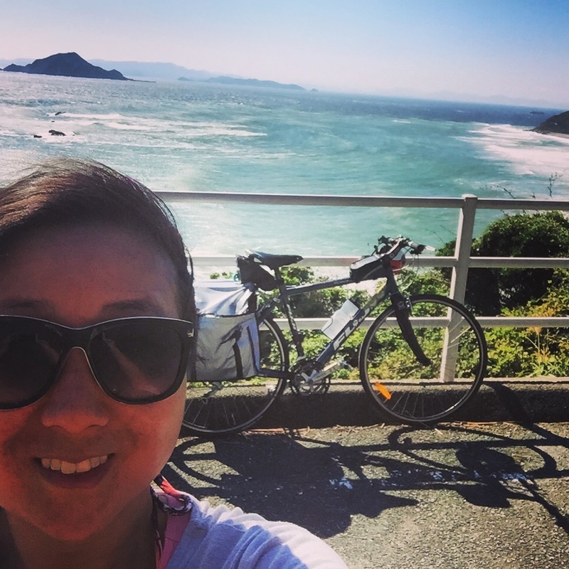
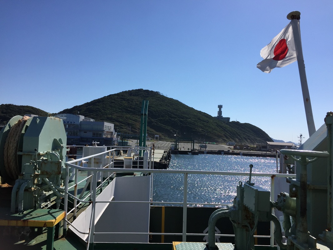
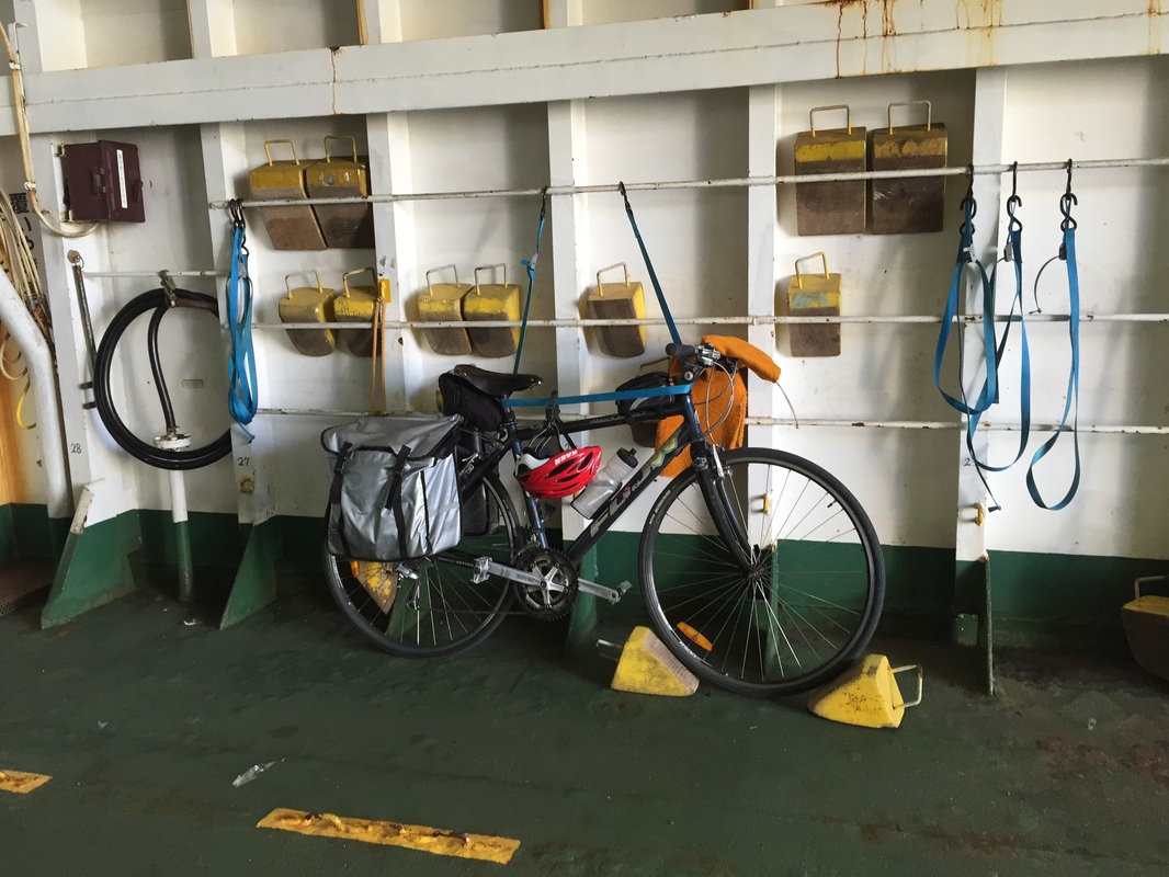
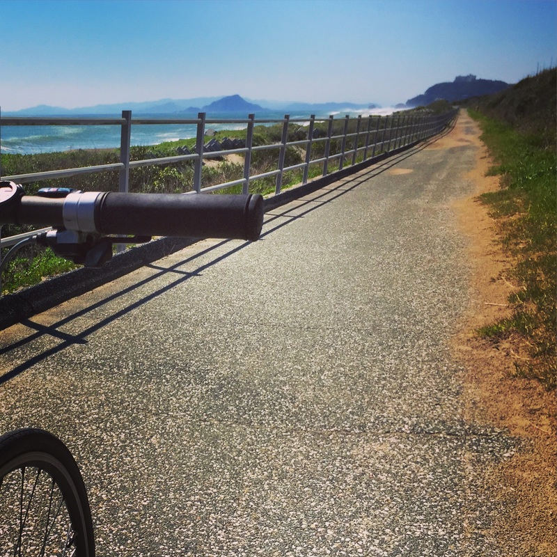
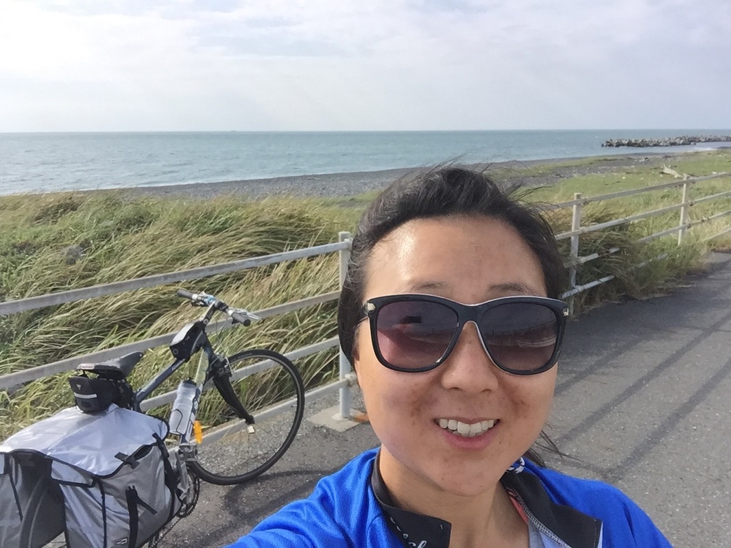
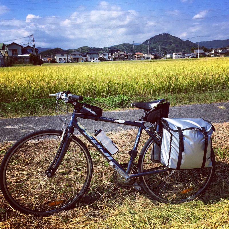
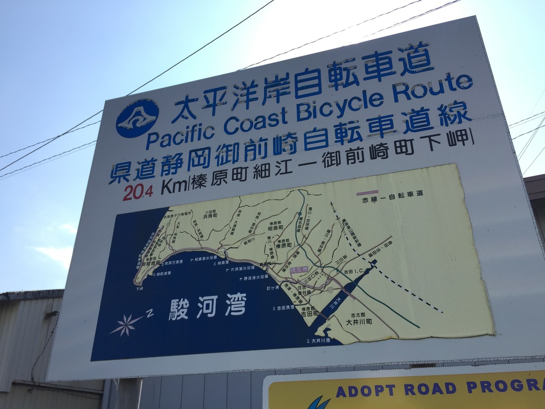
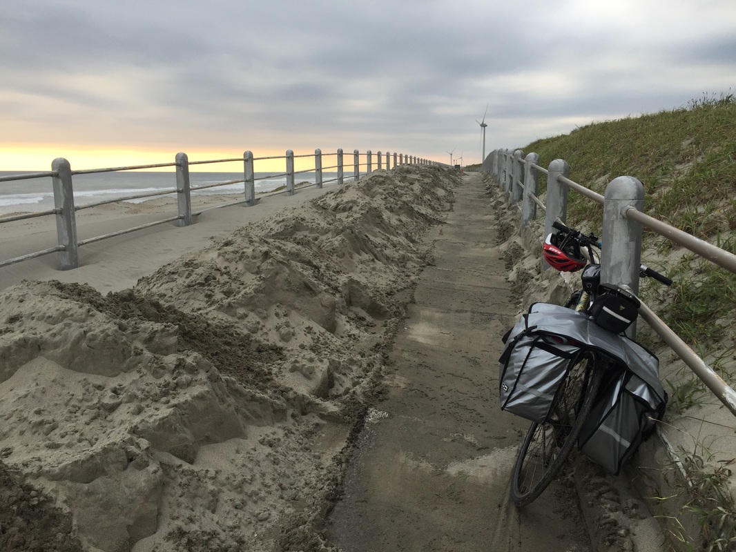
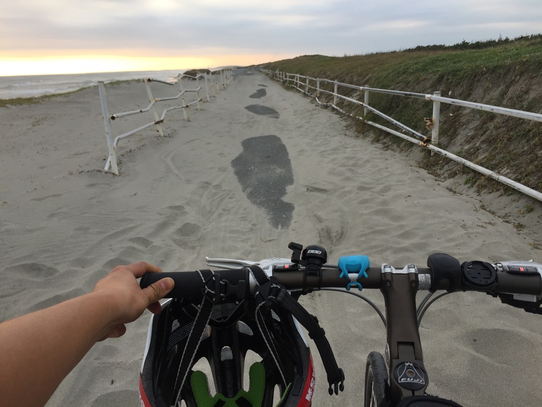
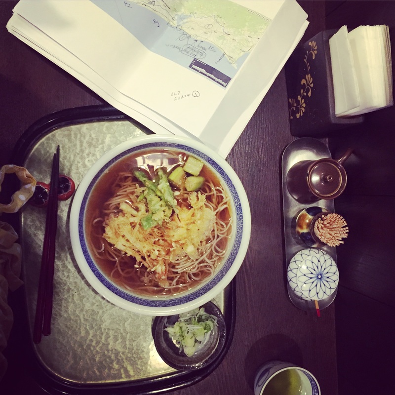
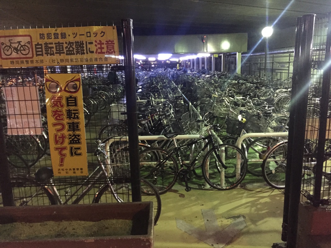
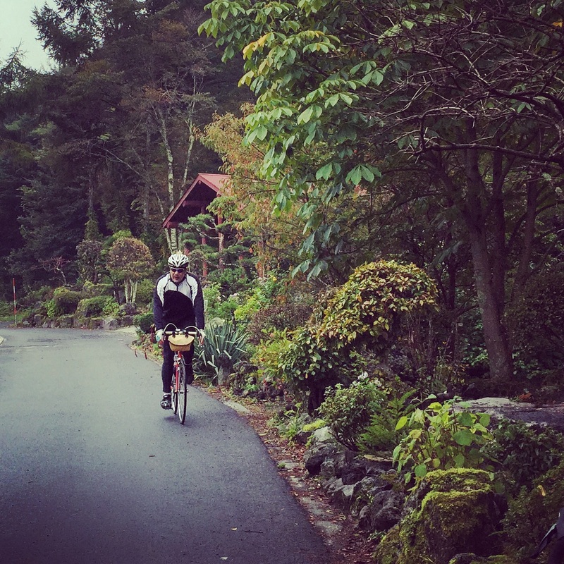
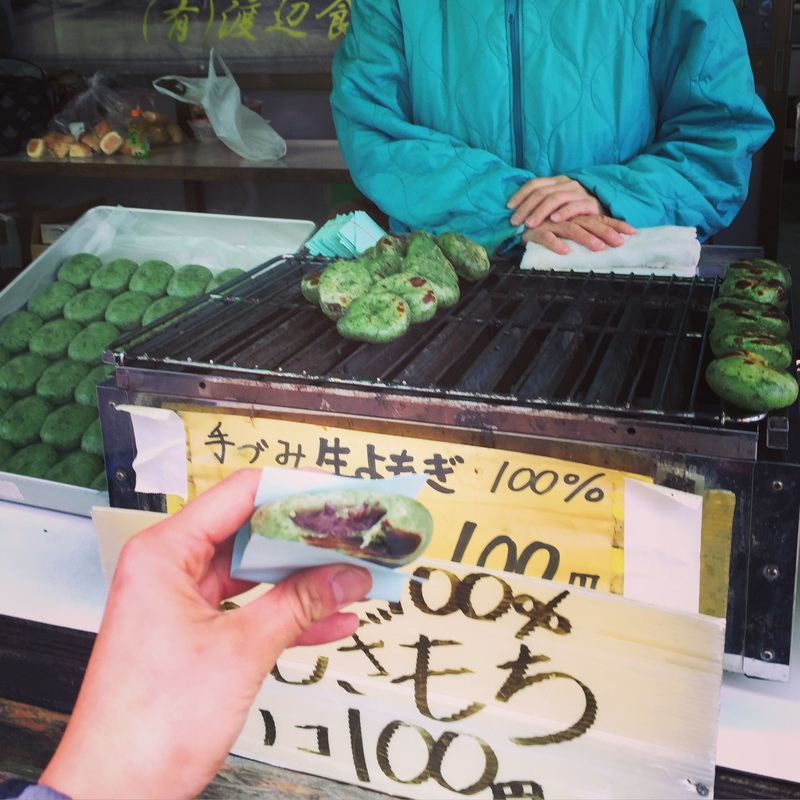
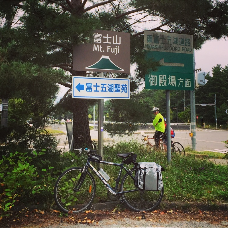
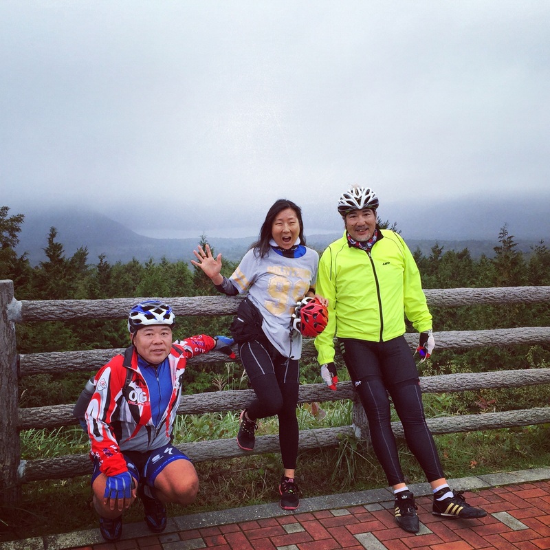
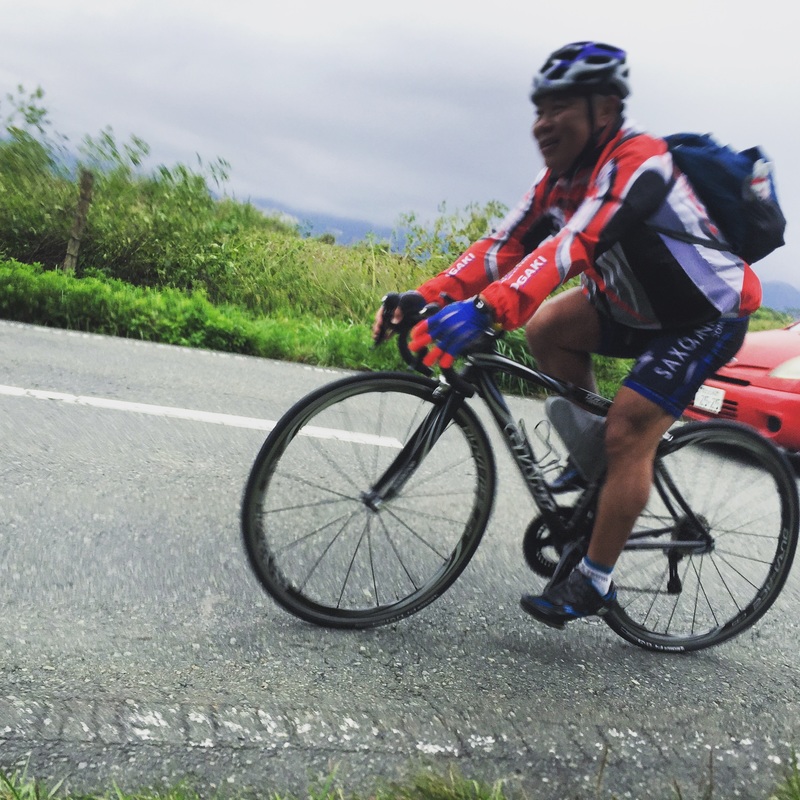
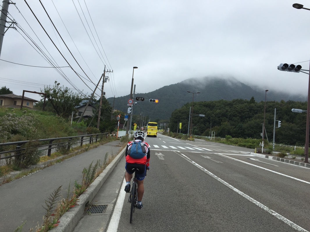
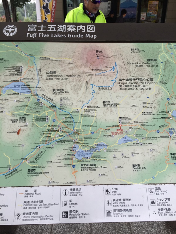
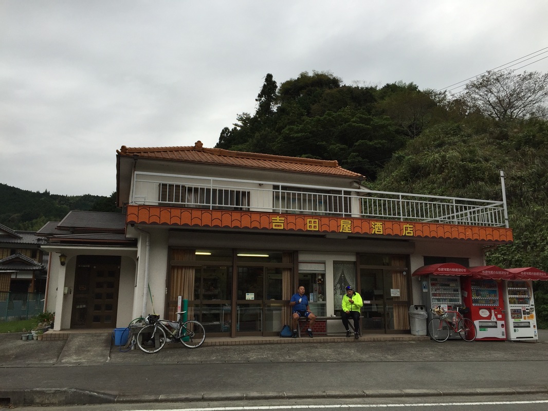
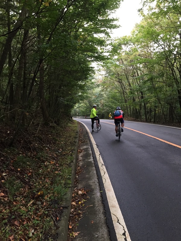
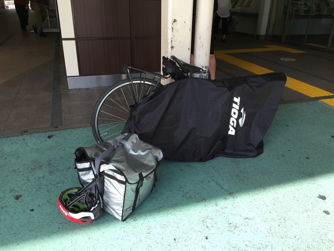
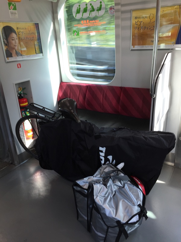
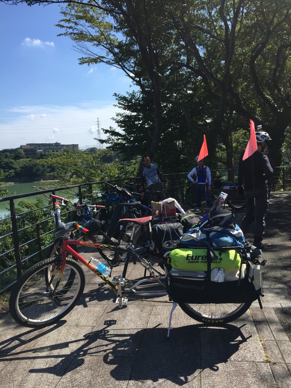
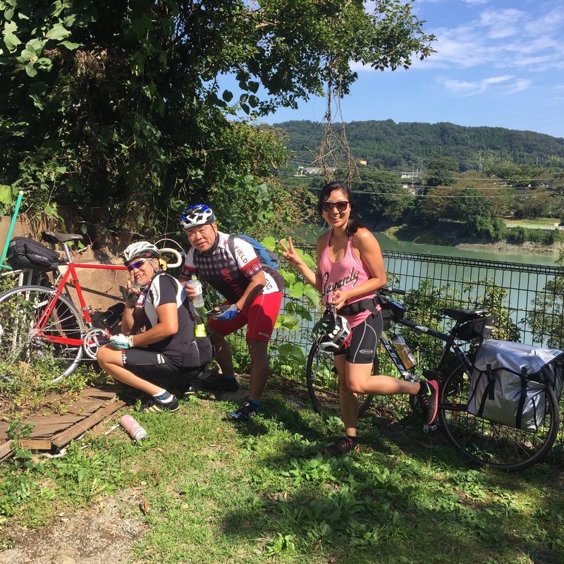
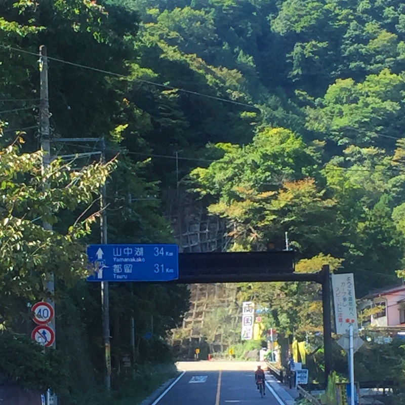
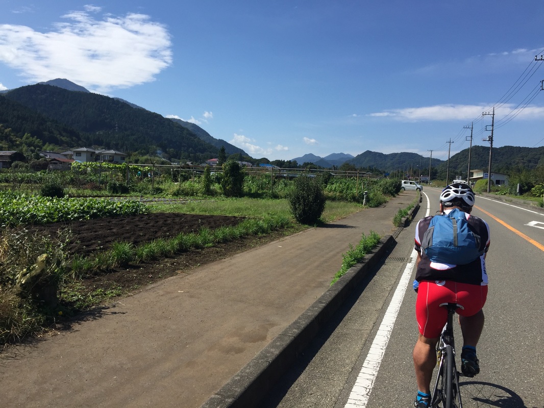
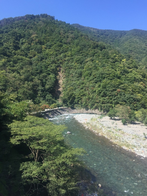
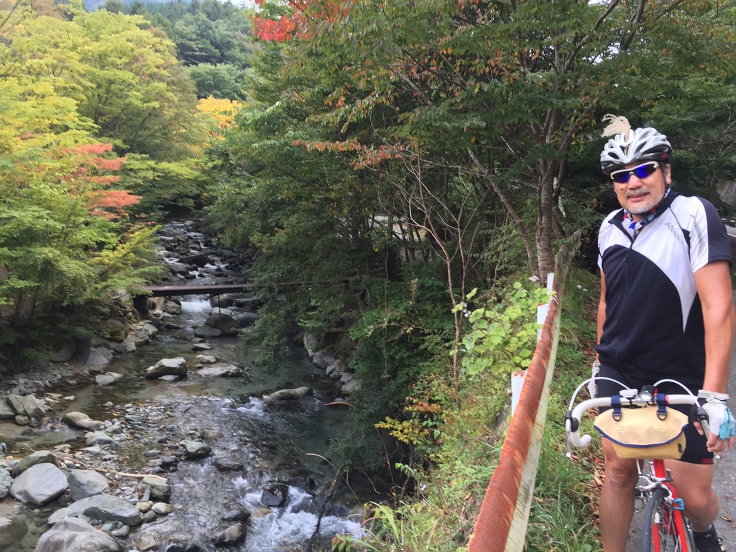
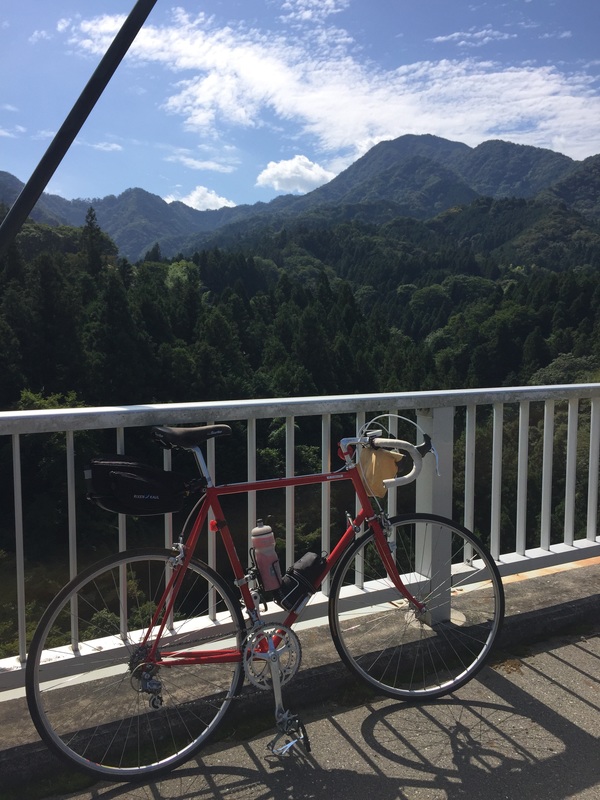
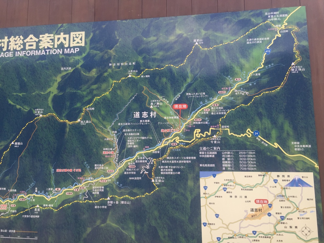
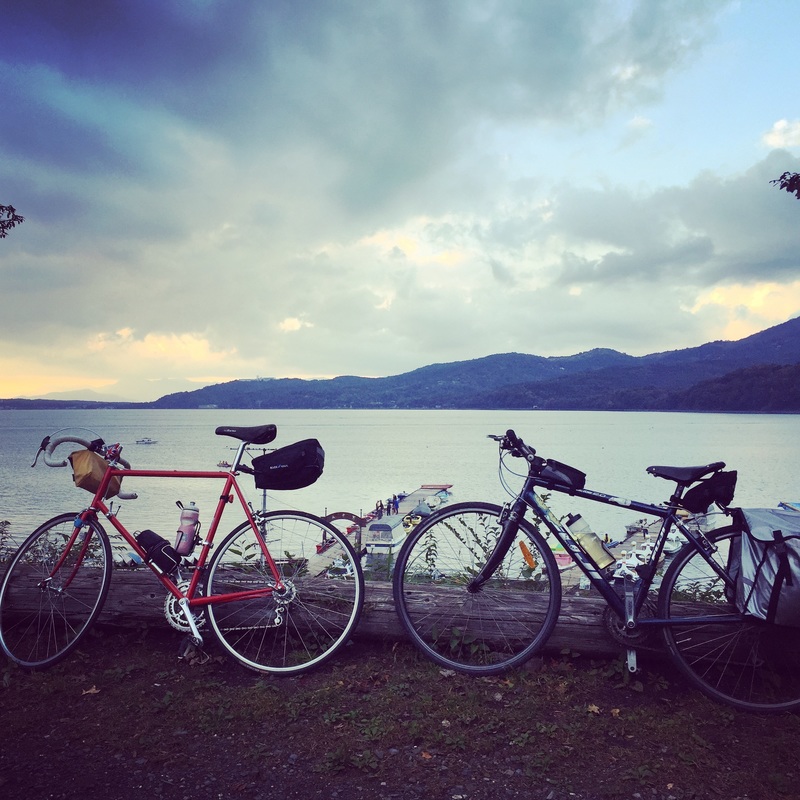
Strava route: link Distance: 100 km Start: Hornsby Train Station Finish: Manly Ferry Road: On road, main roads with shoulder, roads inside the National Park were single lane and not busy. Roads into Akuna bay and West Head were super quiet. Maybe the weather turned people off. The area around Church point was a bit busy with traffic despite signs saying cyclists are to use full lane cars still tried to overtake. Riding on some busy roads with a shoulder leading into Manly. 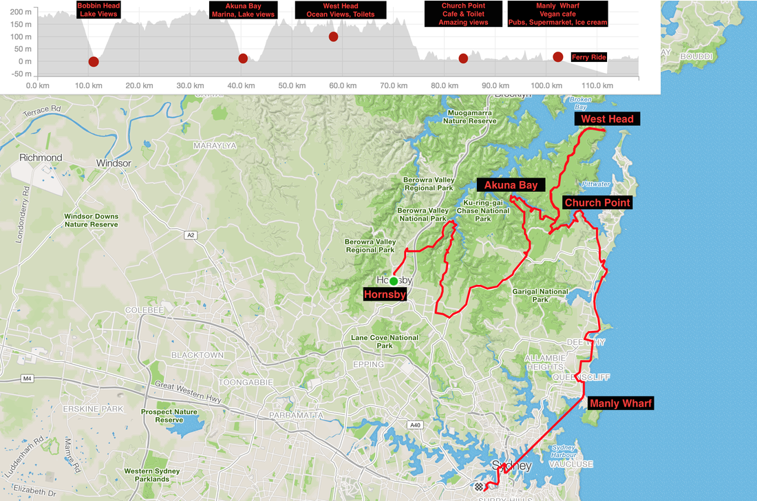 Start: Osaka Distance: 44.4 kms Strava: https://www.strava.com/activities/409302506 Elevation gain: 107 m Road Type: Cycleway along the river, but with annoying stops to walk over car blocking hurdles Sights: Riverway, people fishing, other bike riders racing/training. Osaka Jo. Tips: Drink and Toilet stations along the way. End: Kyoto Accommodation: With friends Food: Bring your own, shops aren't guaranteed to be open 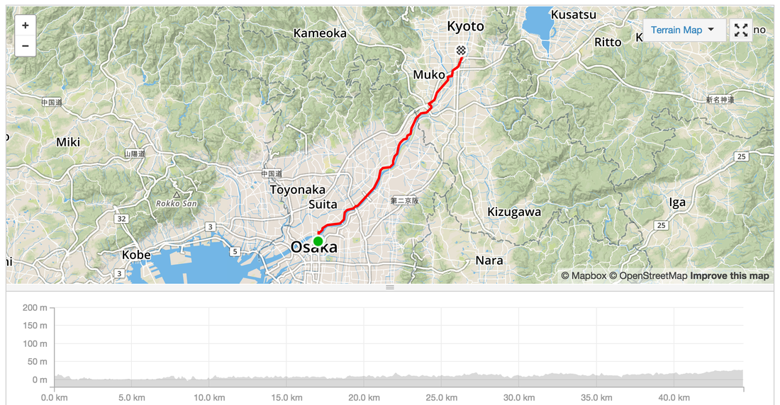 Start: Ise Distance: 43.3 kms Strava: https://www.strava.com/activities/407915037 Elevation gain: 52 m Road Type: On Road, some busy roads with trucks and cars, Cycleways along the coast, small narrow back streets along rice paddy fields. Sights: Country side. Coast line. Tips: Sometimes the cycleway leads to dead ends. End: Ise Nakagawa to catch a train to Osaka. Frequent trains. Local and Express. 1,500 Yen for a local. 3,000 for an express. Accommodation: Last minute hotel booking via booking.com at Osaka for 2,500 yen. Food: Lots of food options. Easiest to eat from the convenience store. 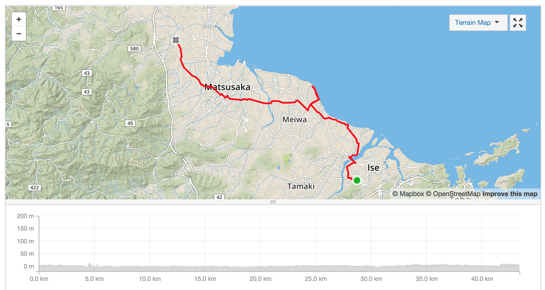 Start: Toba Distance: 16 kms Strava: link Elevation gain: 196 m Road Type: On Road sometimes a bit busy, sometimes really really tiny back streets Sights: Country side, rice fields. Tips: Try a traditional bathouse, Sento, in Ise, great to lying in a tub of hot water for hours after an epic ride. Cost about 400 Yen. You can rent towels and buy shampoo or BYO. End: Ise, home of the Grand Shinto shrine Accommodation: Last minute hotel booking via booking.com for 2,500 Yen Food: Plenty of small towns and vending machines along the way. Again hitting up an udon shop near the station and loading up on supermarket goodies. Try the melon flavoured soy milk. 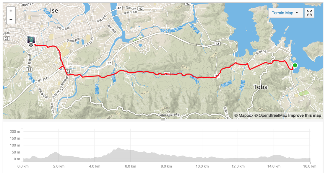 Start: Hamamatsu Distance: 77 kms Strava: https://www.strava.com/activities/407915037 Elevation gain: 630 m Road Type: On Road, some busy roads with trucks and cars Sights: The crazy Pacific coast waves Tips: Look for the signs to the Pacific Coast cycleway, it weaves on and off along the sea side. Some of it looked too scary for me to ride. WINDY! It's was very very windy. I was in constant battle against the winds and losing motivaation. End: Irago, Ferry Port. Catch a ferry to Toba. Ride onto Ise Accommodation: Last minute hotel booking via booking.com for 2,500 at Ise Food: Last 20 kms not much food options. There is a rest stop at Irago. Try to catch some food at the Beach cafe. 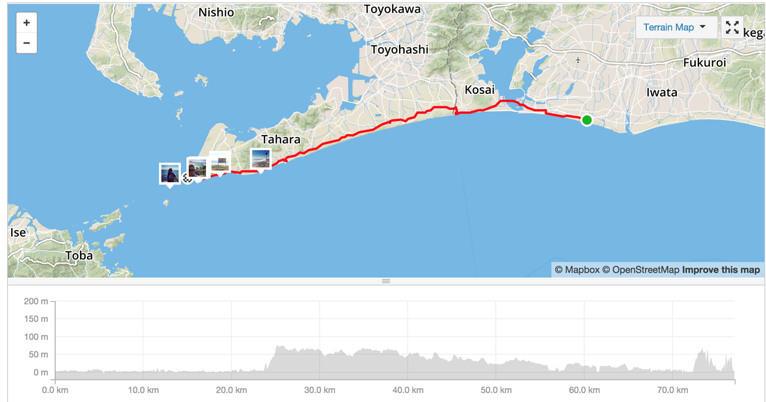 Start: Shimizu Distance: 143.4 kms Strava: https://www.strava.com/activities/407339313 Elevation gain: 1,330 m ( some of this was because I climbed a mountain by accident) Road Type: On Road, cycleway along the coast, detour due to construction beware Sights: Seaside, hill climbs Tips: Try to ask for information when you come across detour signs or construction. The main road might be closed off on the other side and you need to make a detour. Don't find out the hard way by climbing and descending before realising there's no way. End: Hamamatsu (has a Shinkansen stop, biggish town) Accommodation: Last minute hotel booking via booking.com for 5,500 Yen Food: Plenty of small towns and vending machines along the way. Hamamatsu: Not many things open around the city centre. Found a great Udon shop run by a mother and daughter. 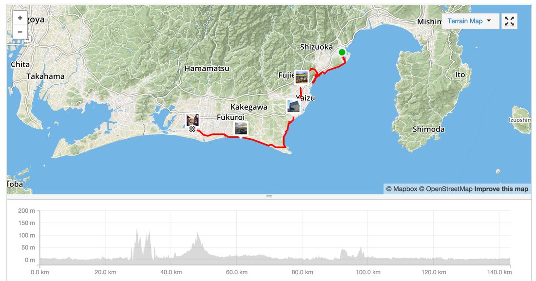 Start: Yamanakako Distance: 99.4 kms Strava: https://www.strava.com/activities/406744640 Elevation gain: 934 m Road Type: On Road, often quiet streets in the mountains, motorbike clubs drive on these roads too, careful off the occasional truck. Sights: Too many. Mountains, river ways, forests, the lake, the valleys Tips: Don't need to carry spare water as there are plenty of vending machines along the way End: Shimizu, port town Accommodation: Last minute hotel booking via booking.com for 5,400 Yen Food: Plenty of stops and vending machines along the way. In Shizumi - Lots of sushi shops because it's close to the sea. Try a local sushi house. 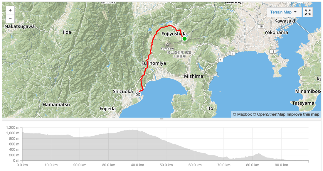 Started the ride just outside of Tokyo to avoid the cars. Take the Keio Train line from Shinjuku to Chofu, change for Hashimoto. You can take your bicycle in the train if it is inside a bike bag. Start: Hashimoto station on the Keio Line, west of Tokyo Distance: 62.4 km Strava: https://www.strava.com/activities/405848428 Elevation gain: 2,285m Road Type: On Road, often quiet streets in the mountains, motorbike clubs drive on these roads too, careful off the occasional truck. Sights: Too many. Mountains, river ways, forests, the lake Tips: Don't need to carry spare water as there are plenty of vending machines along the way End: Yamanako Food: Plenty of stops including a rest stop with udon and a tofu shop. There are restaurants and a massive rest stop in the hills. Best cafe was one nestled near the last climb serving soba and kaki with a bike rack out the front. Accommodation: Cabin in the forest 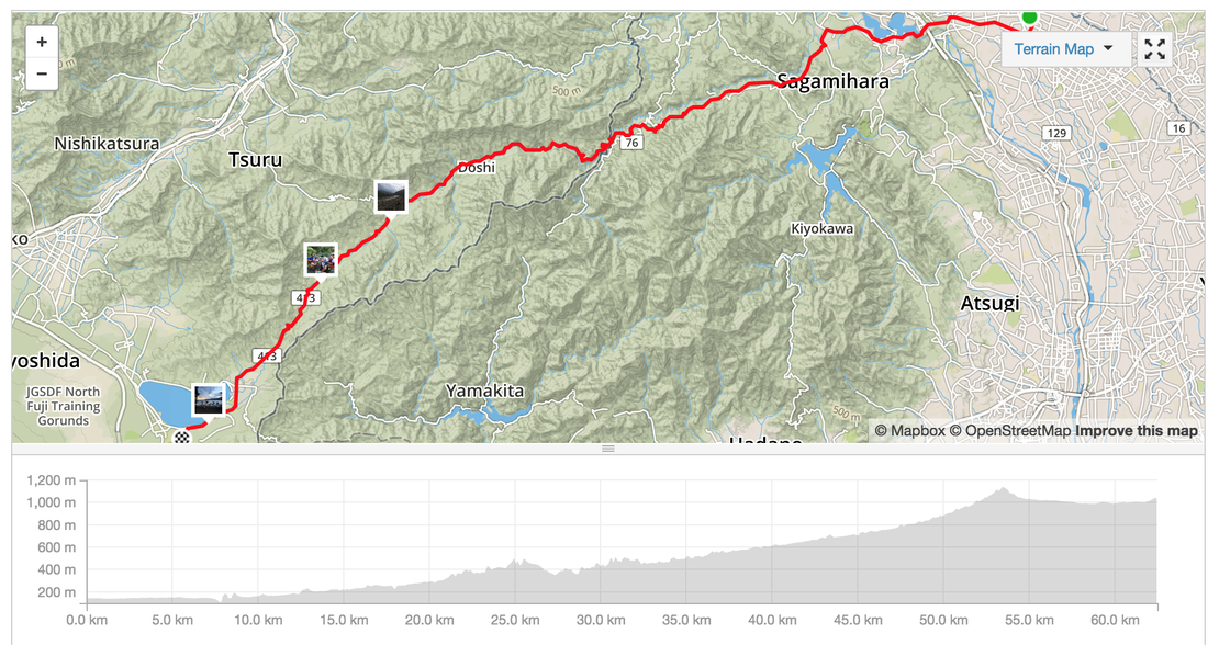 |
Archives
July 2023
Categories
All
|


 RSS Feed