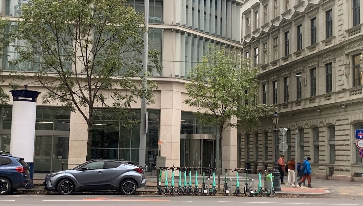
 Most people are blown away by Budapest's beautiful architecture and stunning boulevards, mesmerised by the skyline. I was blown away by the amount of bicycle and e-Scooter parking and bike share locations around the city. 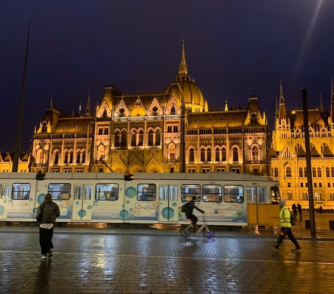 The Parliament house in Budapest really is beautiful. I later found out that a lot of the on street bicycle parking was made possible by the Budapest Participatory Budget. The Budget allows community members to submit and vote for projects. Essentially a green grant. Community groups such as MAGYAR KERÉKPÁROSKLUB were able to make a submission for bicycle parking and were granted 50 locations in one year. The following document contains a list of other projects, including pedestrian crossings, cycle lanes, improving the greenery in the city. 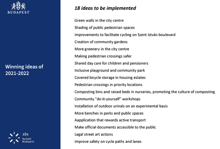 Even the smallest members of the community have space to park their bicycles at their kindergarten. 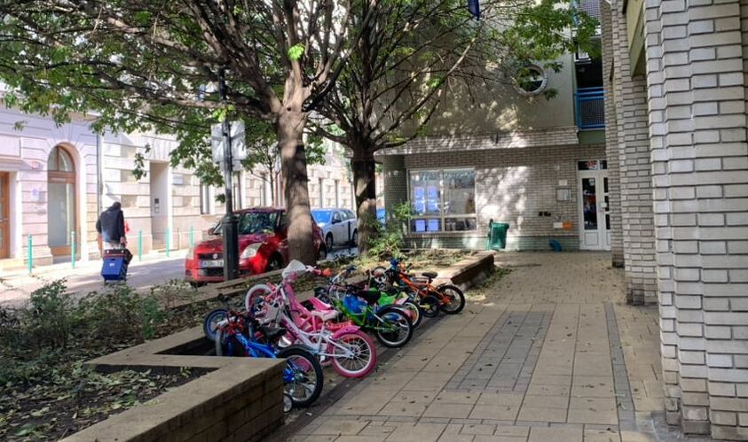 Bicycle parking in front of a kindergarten in Budapest Bicycle parking at treatment of the 30 km/h residential zone. 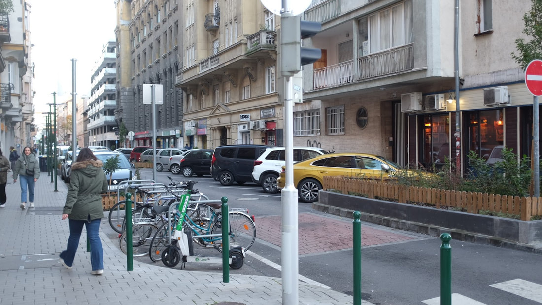
0 Comments
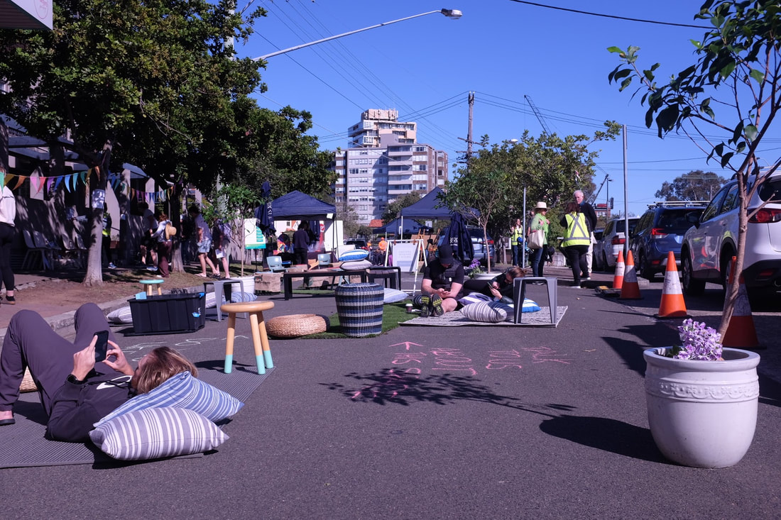
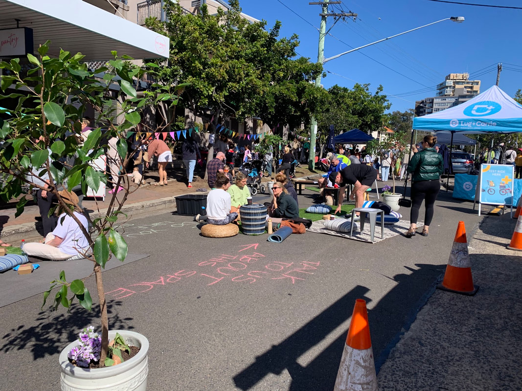
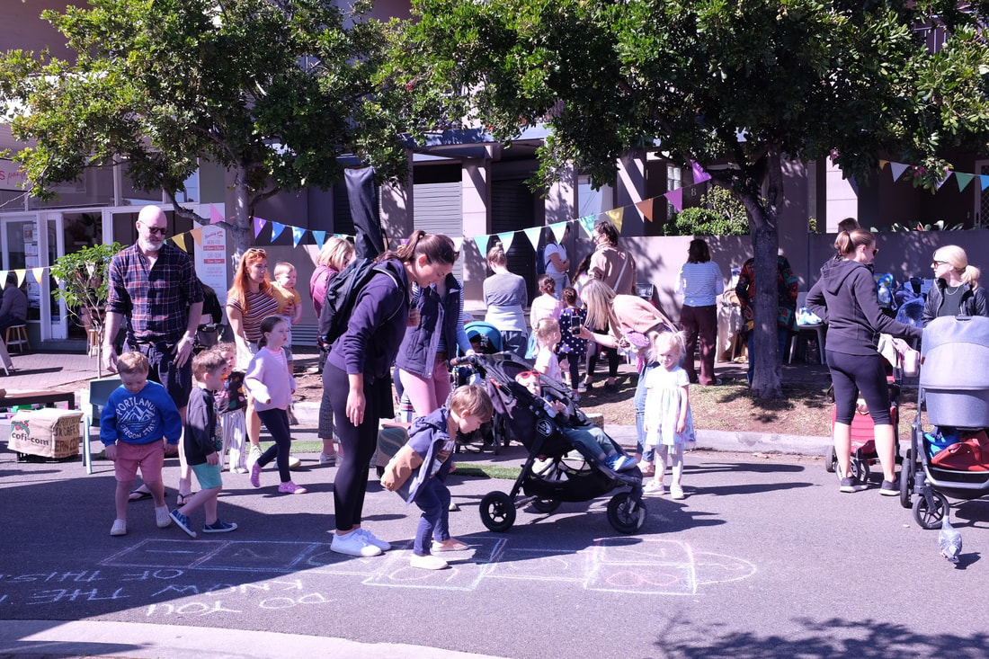
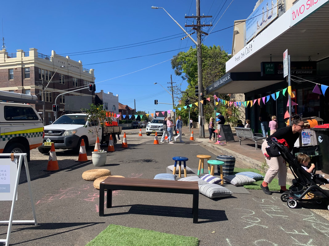
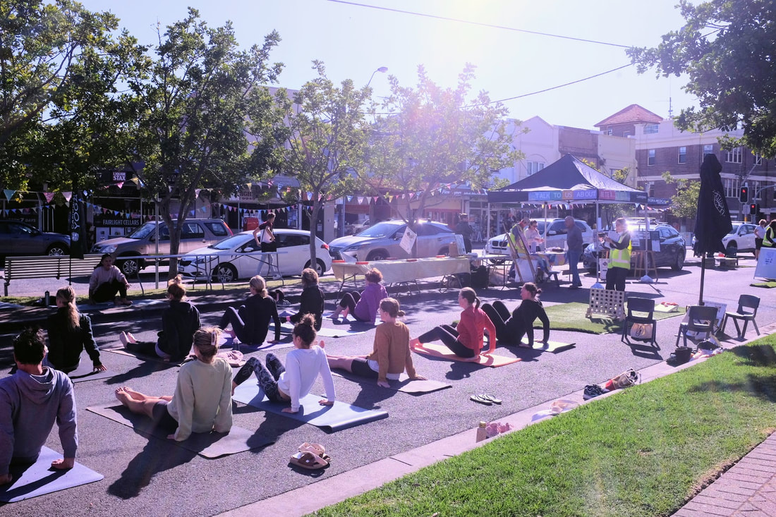
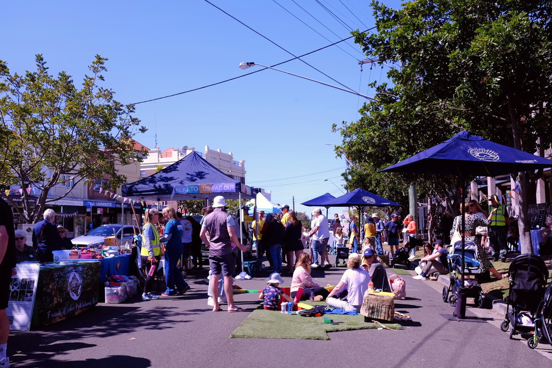
Slip lanes are a mechanism to ensure motor vehicles can turn without waiting at an intersection. They're designed to the fast, efficient movement of motor vehicles, while penalising the environment and people who want to walk, ride, rest and feel safe. This one in Fairlight on Sydney Road (map link) is a signalised intersection and delays people walking by increasing the crossing distance across the road and occupies about 200 square metres of public space. The Fairlight fling offers an opportunity to reclaim and repurpose that space to improve the environment, increase the space for people walking, sitting, to do business and have public space, reduce the dangers posed by motor vehicles. Congratulations to Northern Beaches council, all the volunteer groups that participated by providing set up, yoga classes, stalls, activities, props and the support. More info here. 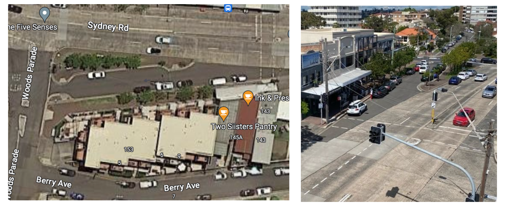 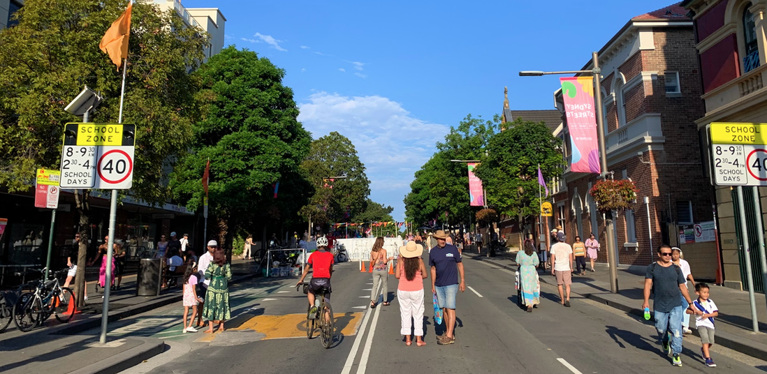 City of Sydney have a programme called Sydney Streets to open up the Streets to people. It's astonishing how pleasant a street can be when you remove the motor vehicles. The smells, the sounds, the opportunities created by repurposing the street space for people and businesses is evident through these street experiments. BikeEast are running the Bike valet service that allows for people to leave their bicycles during the event and get some handy information about the cycleways. 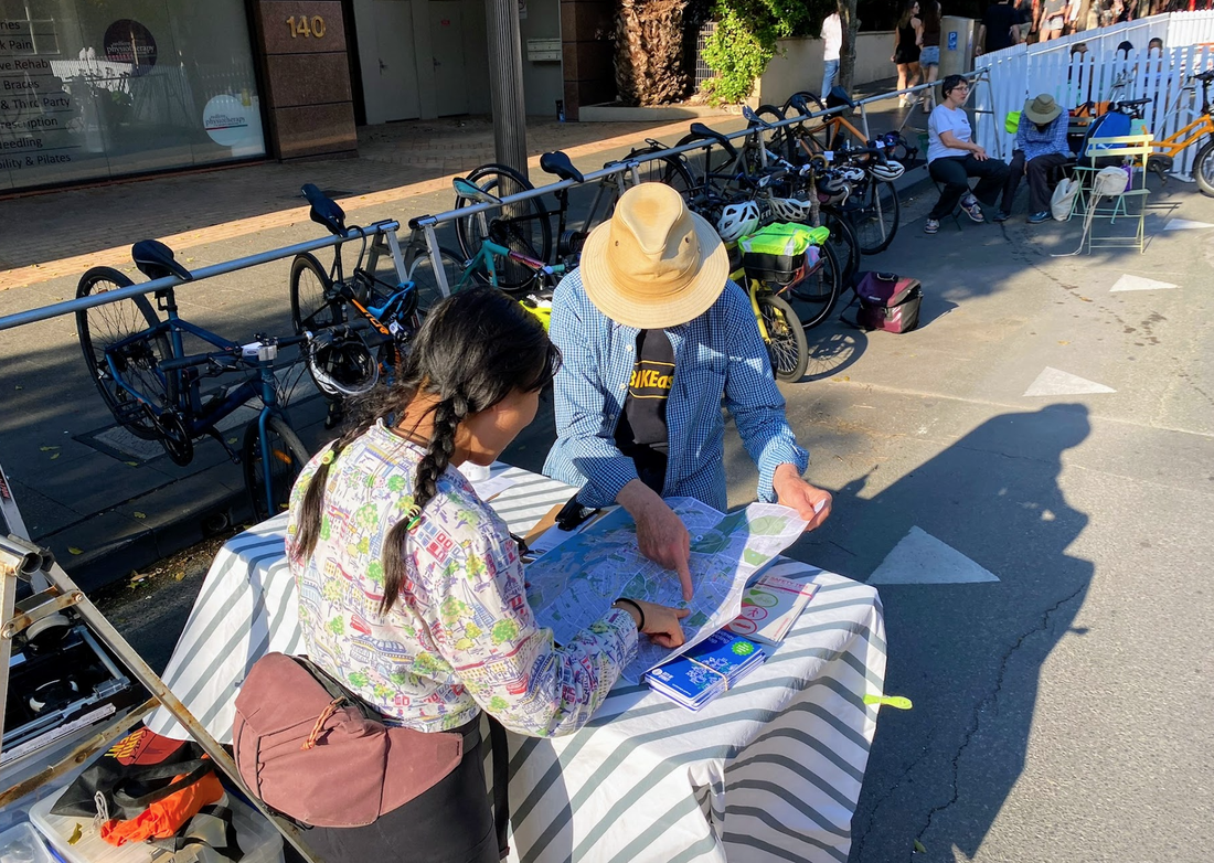 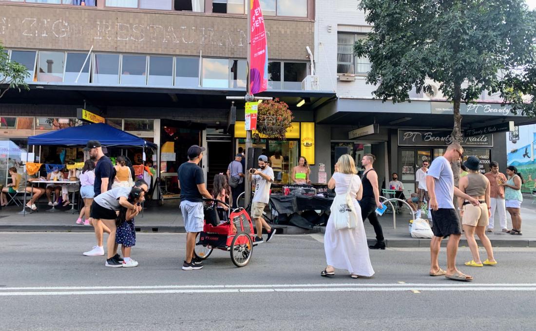 There's a brilliant study in Australia by Alison Lee that show the economic benefits of using kerb side parking for parklets, and bicycle parking. Imagine what the benefits is when you quadruple the space?! Better Streets is a new coalition that is looking to improve streets and is seek better streetscapes to support businesses.
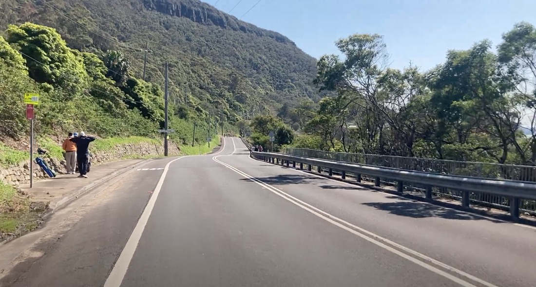
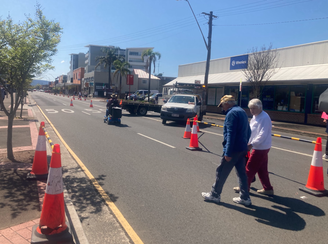
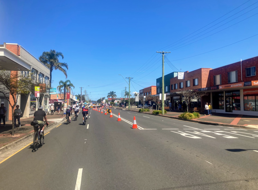
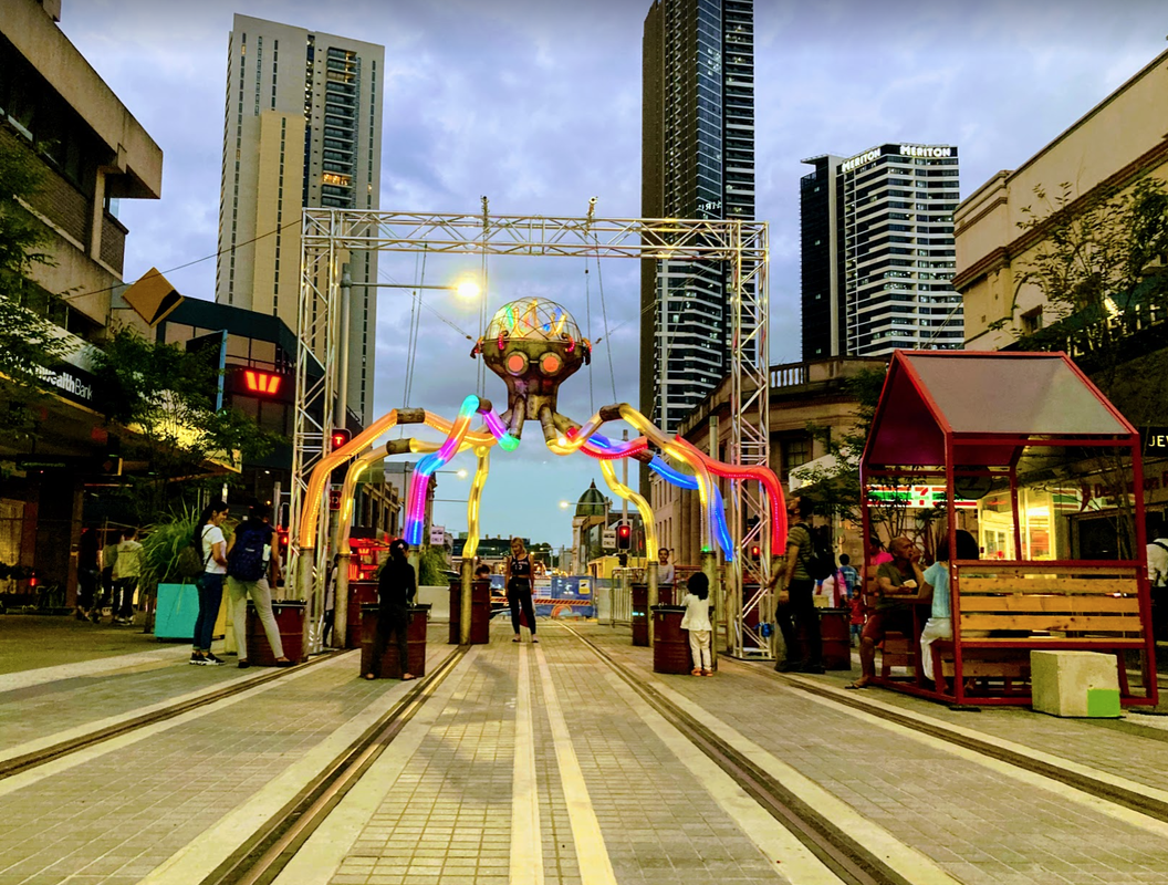
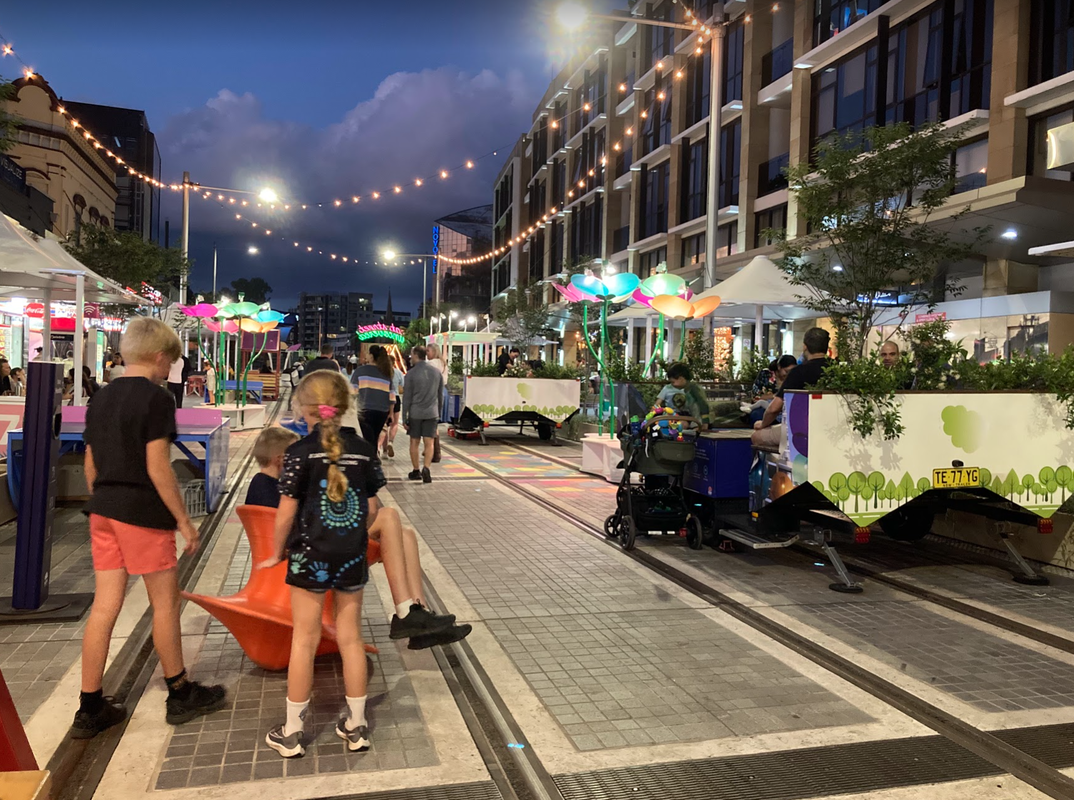
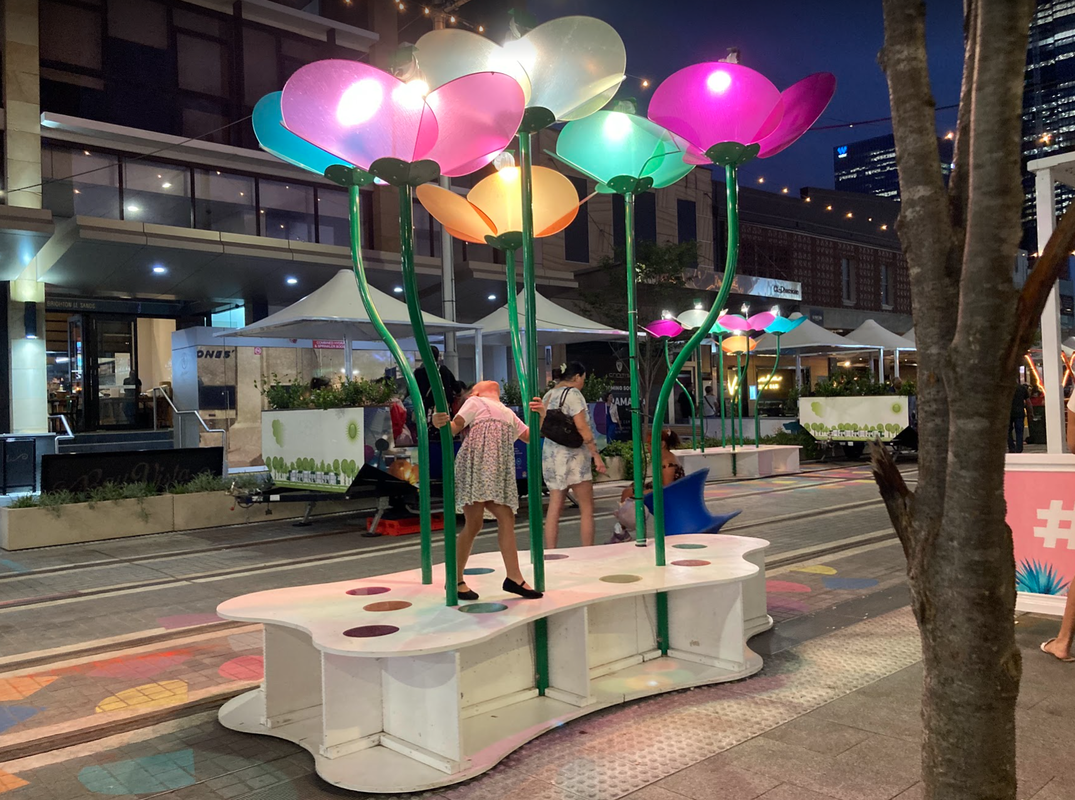
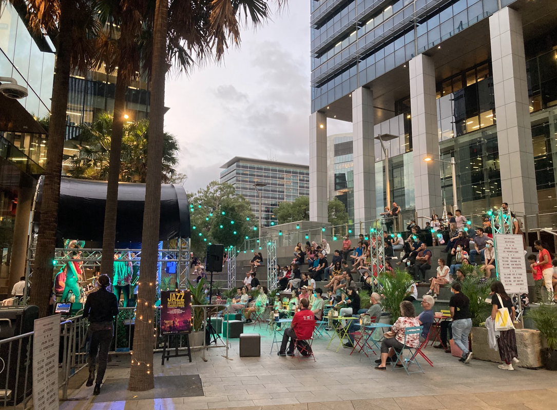
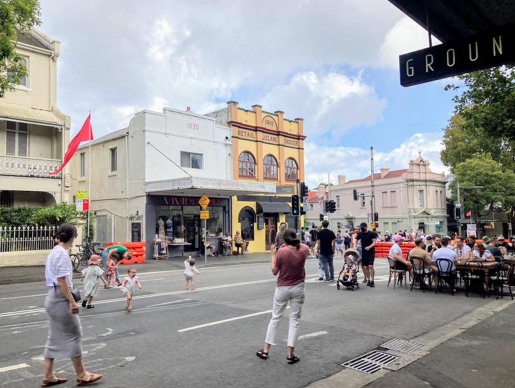
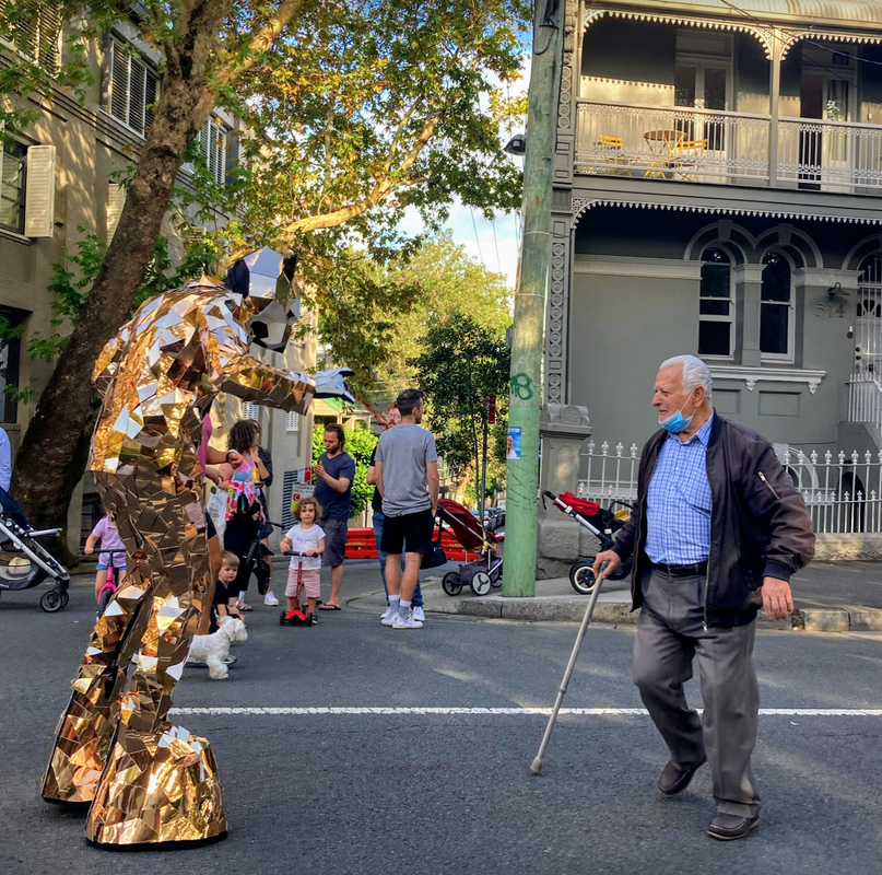
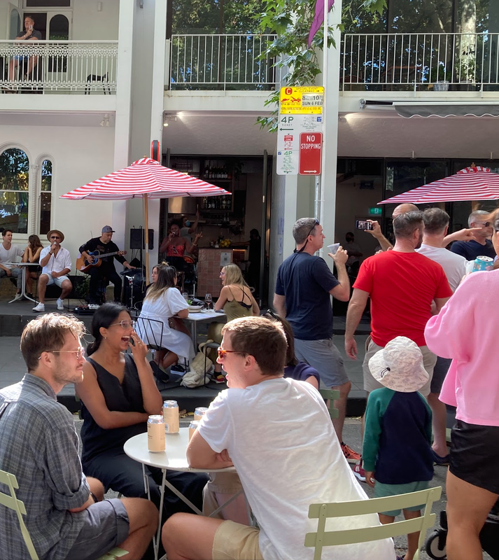
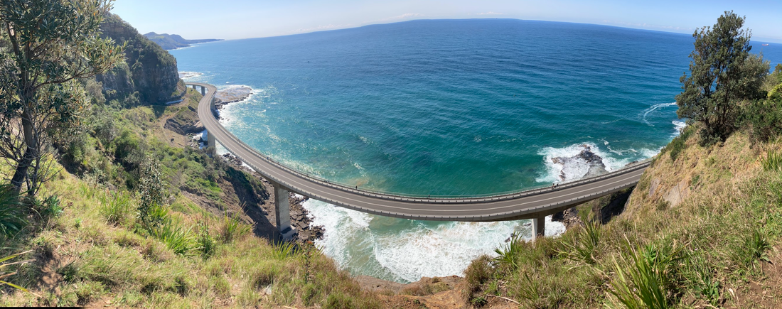 Sea Cliff Bridge, Lawrence Hargrave Drive, Clifton NSW Sea Cliff Bridge, Lawrence Hargrave Drive, Clifton NSW The UCI 2022 (aka. the world cycling championships by the Union Cycliste Internationale) was held in Wollongong, New South Wales, Australia. This area is famous for its coastline dotted with beaches and rock pools, protected to the west by a menacing escarpment. This week the race transformed the streets making them less noisy, stress-free, playful by opening them up to the people to play and closing them to motor vehicles. The Bulli Heritage hotel during the UCI 2022 (left) and from google maps (right). Without the cars in the image you can feel the extensive space on the streets. Now image what that space can be better used for and how it contributes to the noise, smells, stress on being in the area. Without the motor vehicles people felt safer and less stressed crossing the street and being on the sidewalk. 20 years ago when I went to high school in Parramatta there is no way I would have imagined myself dancing the night away with thousands of people at a car park street party in Church Street. How could I as I was surrounded by fumes from the WRXs and Holden commodores doing happy laps up and down the street, while rushing past all the empty run down shops hoping you don't come across a weird or suspicious person, to get to the awesome new mega mall, Westfields. As an urban planner I detest what mega malls have done to our lifestyles, and our environment. But at the same time it's hard to blame people for being attracted to them. The offered a secure "safe" place to hang out at. The only other safe place I remember I could hang out in was the library and that becomes uncool at different stages of a teenager's life. 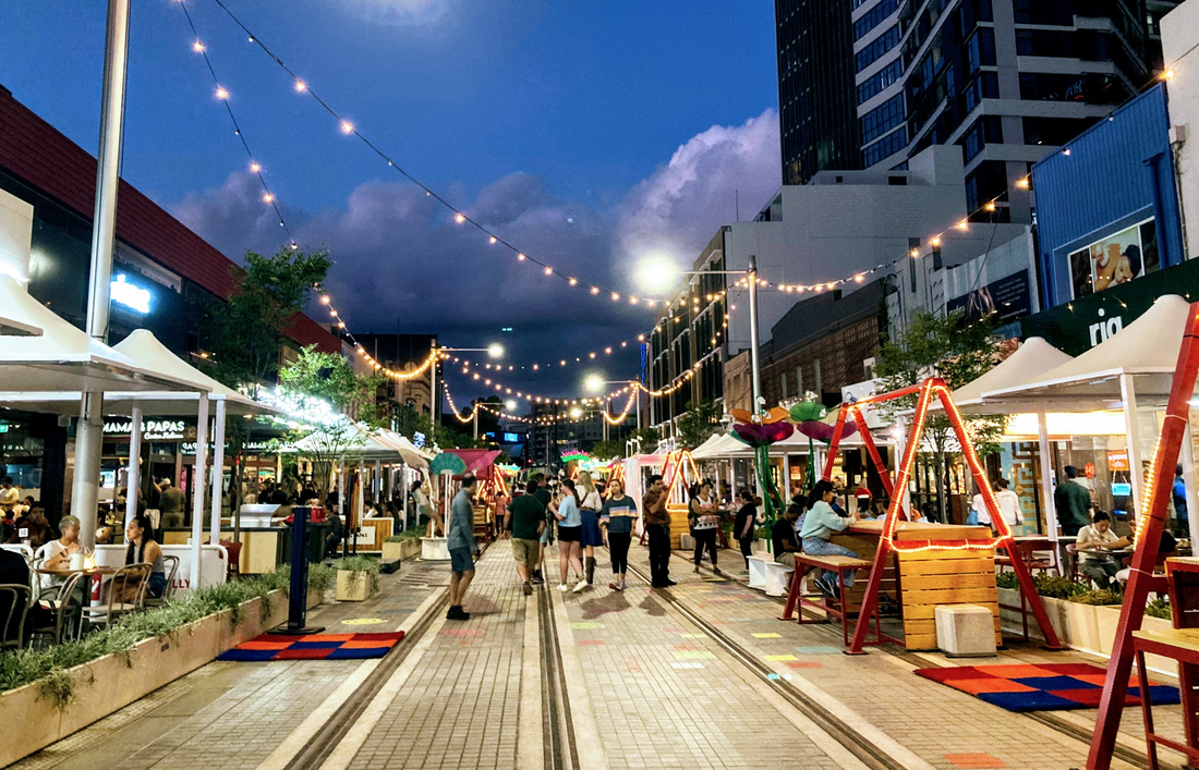 Over the past 20 years Church street has transformed and the outdoor life has slow rejuvenated. The road was narrowed to give more space for people walking, more outdoor play equipment added for street play, the vehicle traffic reduced and now with light rail the street has been converted to public space for people. Last night I saw the most vibrant happy version of Church Street I have ever seen. Lots of families celebrating Holi day and even those who weren't celebrating Holi day had plenty to see and do and experience with so much interactive street furniture, art installation and music to enjoy. More details of the Parramatta Nights festival here. Hopefully these open street events will become part of a community spirit and continue to create memories and form part of our culture. 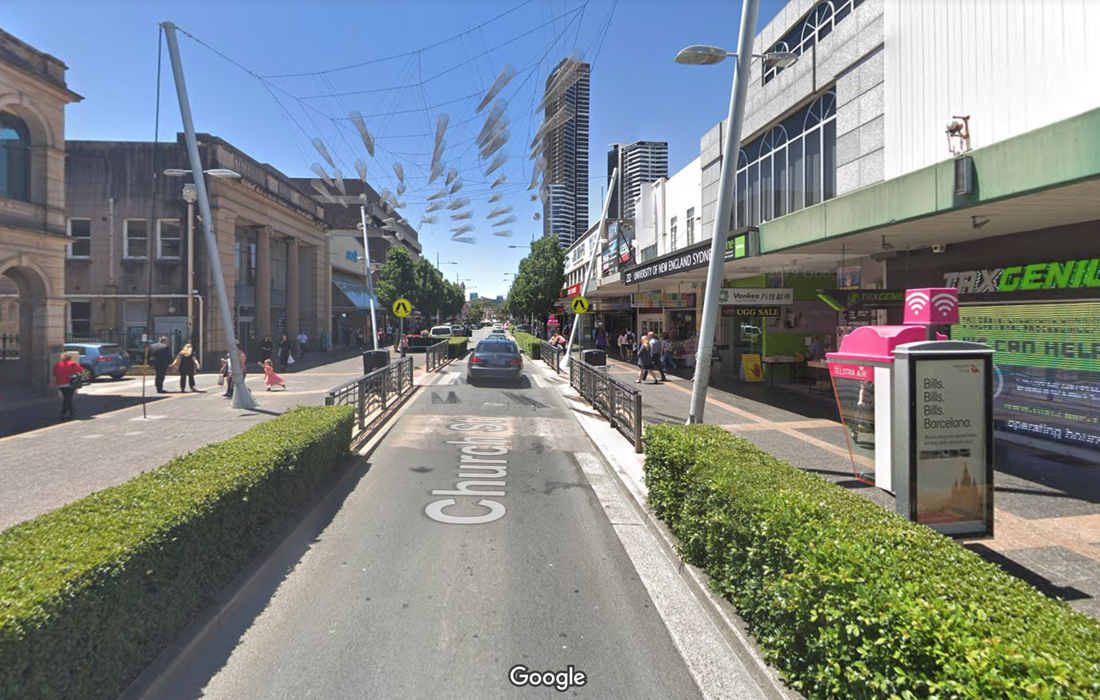 Church Street, Parramatta in 2018 before Light rail construction began (map link). Photo source: Googlemaps.  10 car parking spots converted to an entertainment venue.  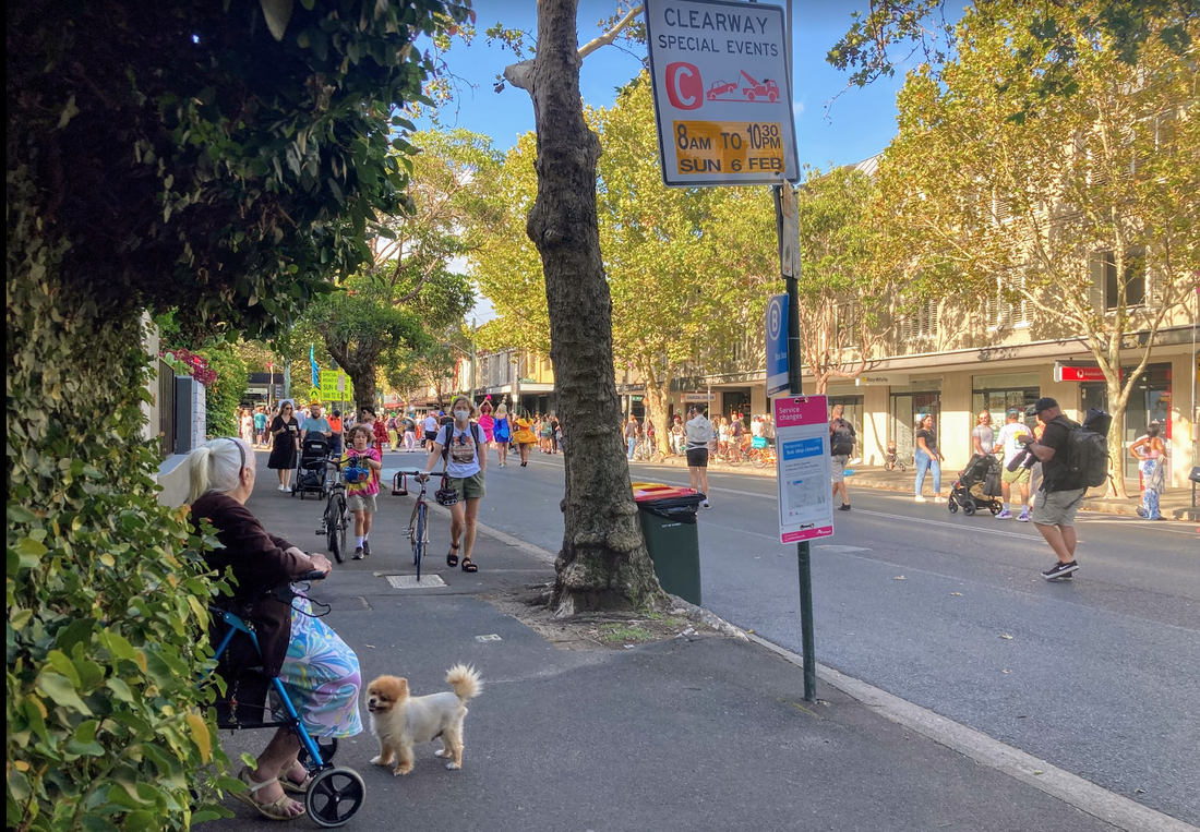 6 February 2022 Crown Street was opened up to the people thanks to the Department of Planning, Industry and Environment's Streets as Shared Spaces (SaSS) program and the City of Sydney the streets of Sydney. For one very sweet Sunday afternoon the Street was closed to motor vehicles, businesses and people came out onto the streets to reclaim the space. From this day I have changed my criteria for a successful street. My new measures are:
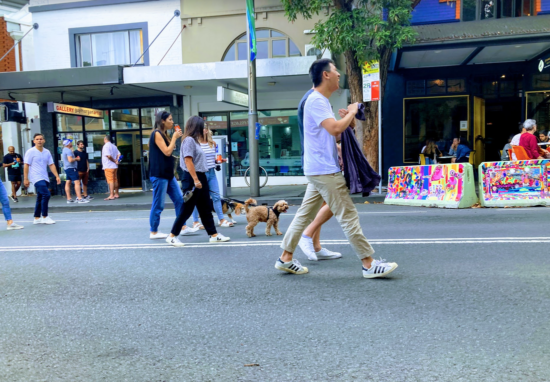
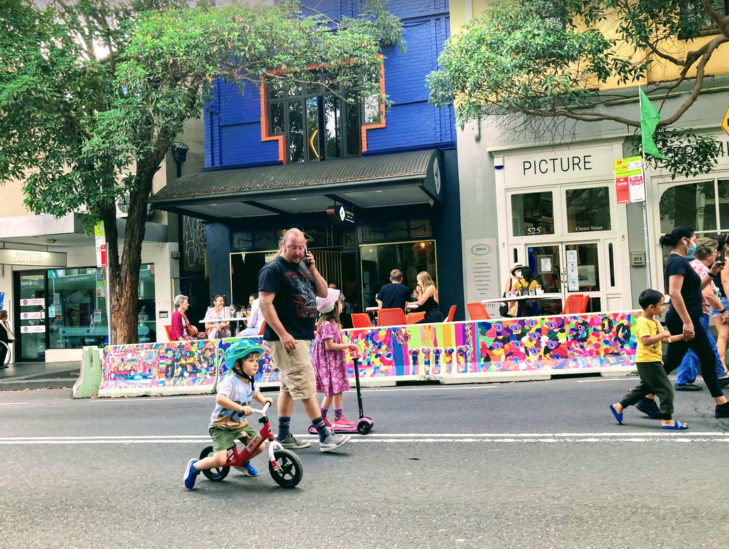
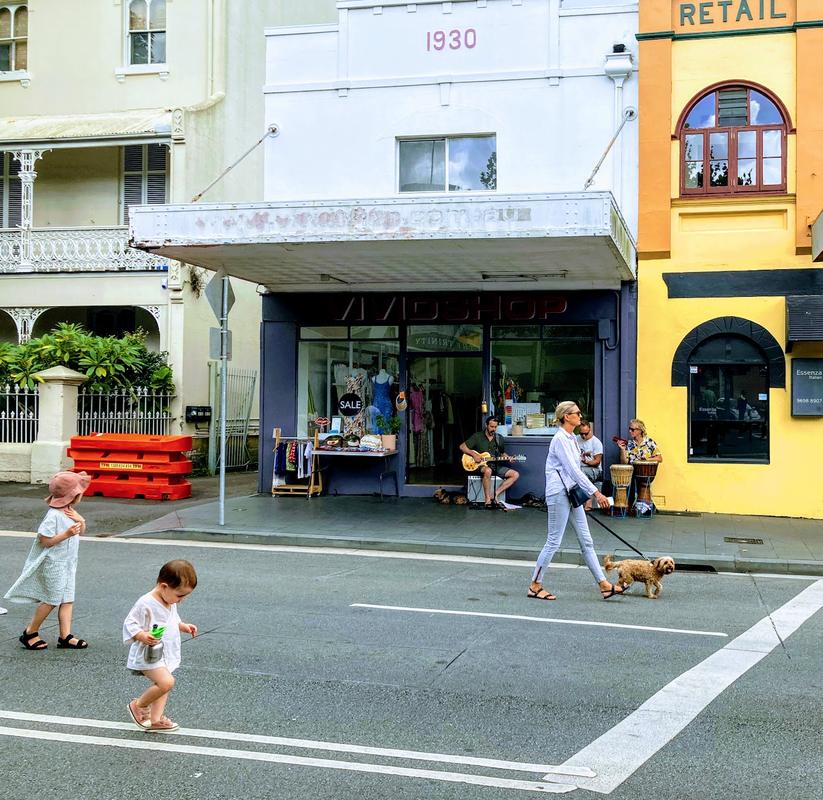
The success of the event was demonstrated by this lady who I watched during the day push herself along the street and stop frequently to sit and observe with her dog by her side. Then finally she engaged with some people. I wonder when she last felt safe and part of the community. For a more data driven evaluation guide refer to the Healthy Streets Indicators - link 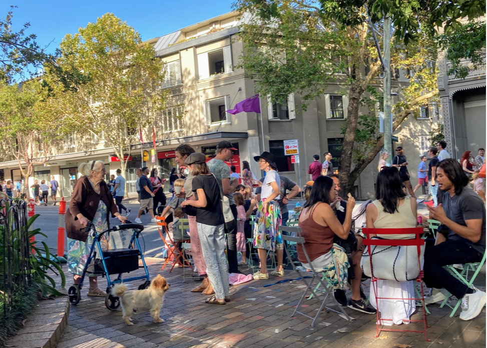 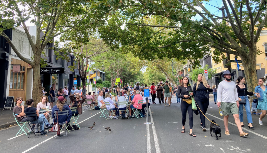 Before and After Streets as Shared Spaces Crown street is normally a two way street, parked cars, bus route, with marked bicycle lanes. 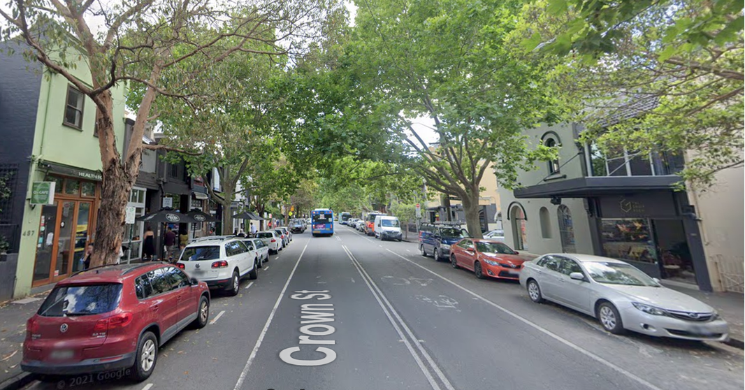
It's starting to warm up and people are taking to the beaches. The main thoroughfare to the beach is thriving with people walking between the beach and shops however the amount to space and time allocated to pedestrians is not a lot. Try to count the number of people and the time allowed to cross and funnel into the narrow ramps.
As I started to see more and more cities do amazing work to get more space for people to walk and ride a bicycle I started mapping out the trends on this google map.
The time for disrupt is now. Join the #SpaceForHealth campaign Sign the petition to get more space for walking and cycling - petition link  Timelapse of the installation of a priority crossing for bicycle riders and a pedestrian crossing at the intersection of Stanley Street and Bourke Street, Darlinghurst (google map link). 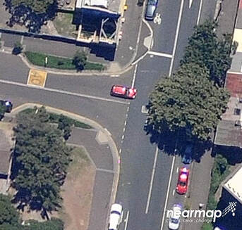 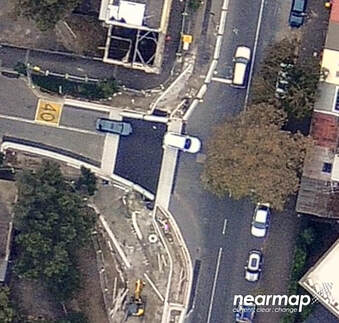 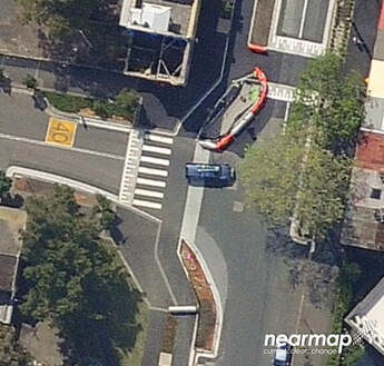 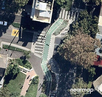 |
AuthorWrite something about yourself. No need to be fancy, just an overview. Archives
September 2023
Categories
All
|


 RSS Feed