|
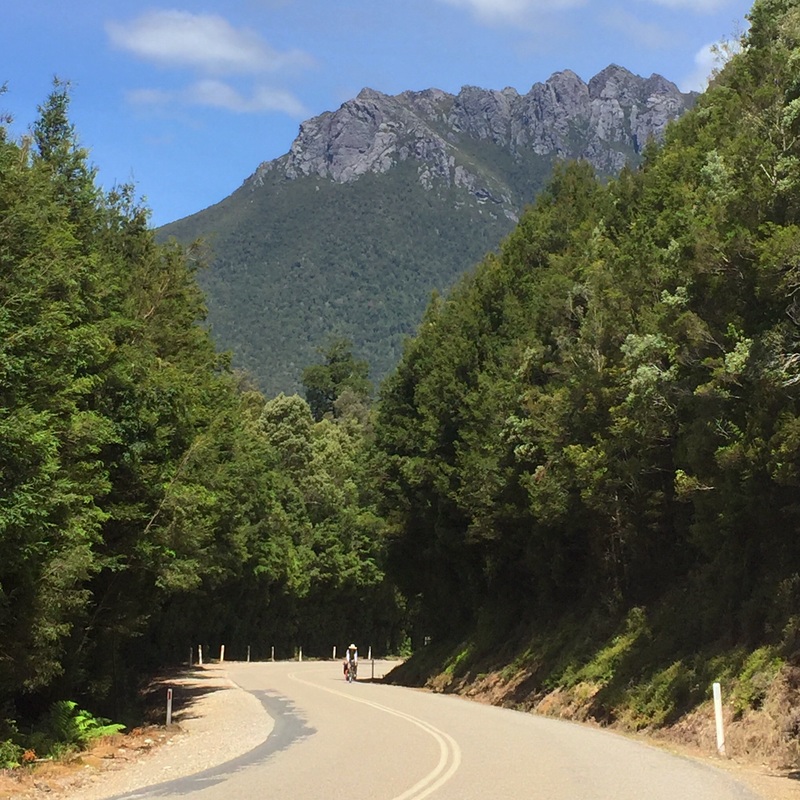
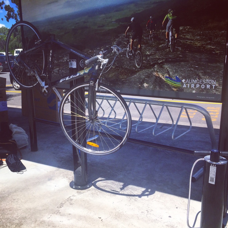
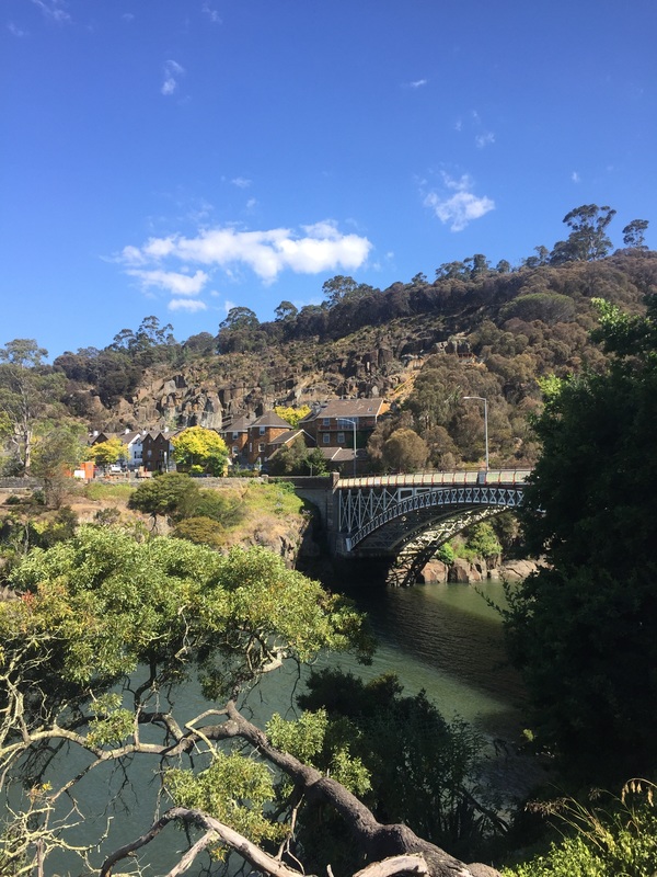
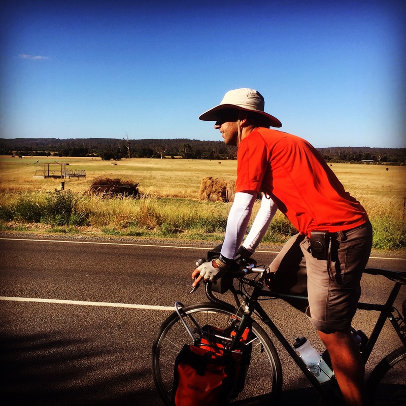
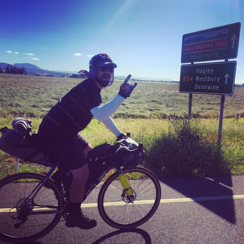
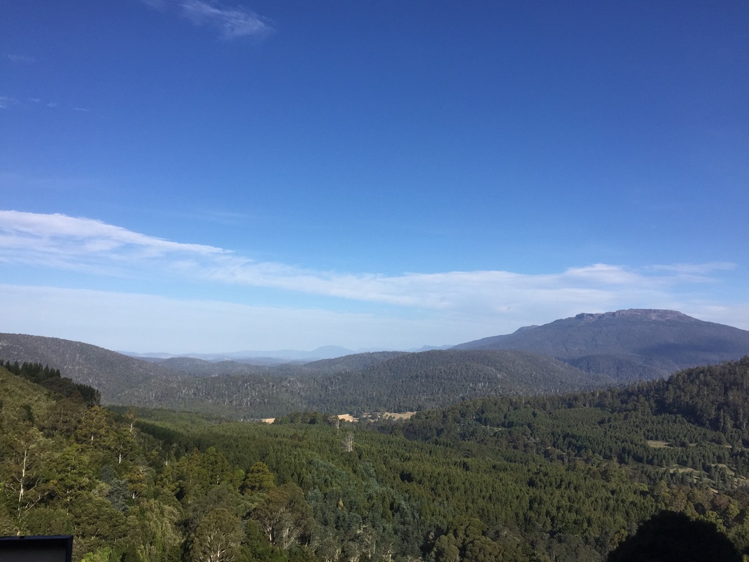
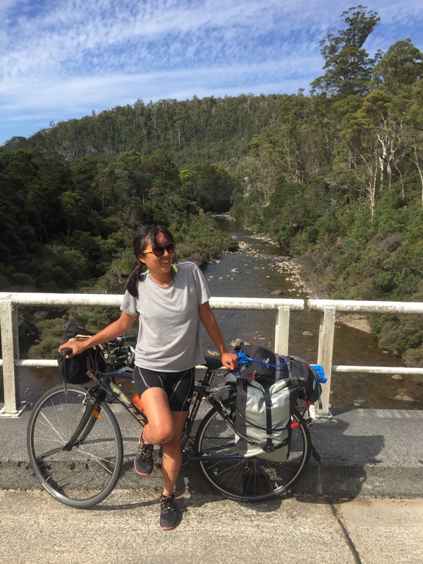
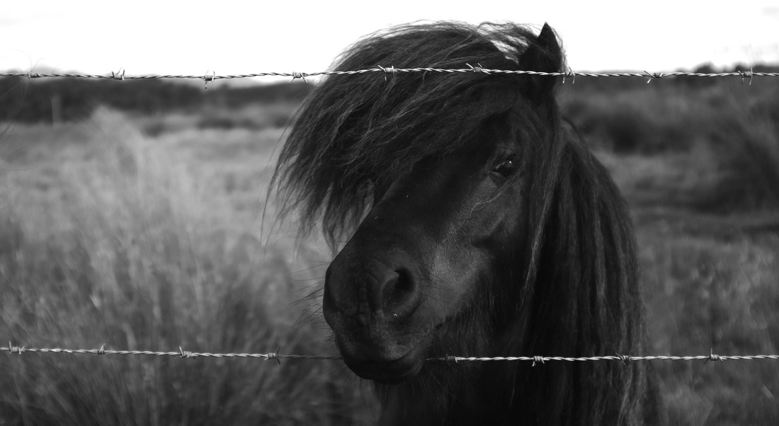
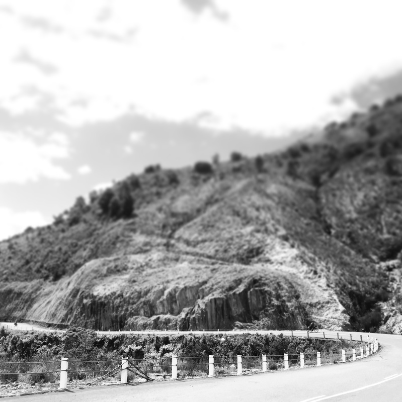
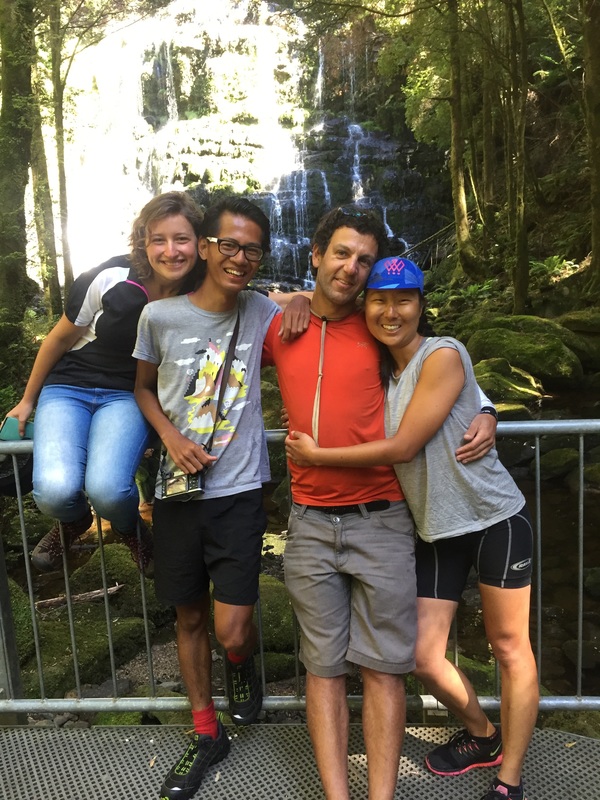
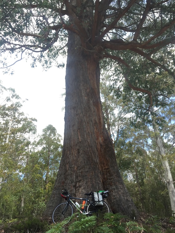
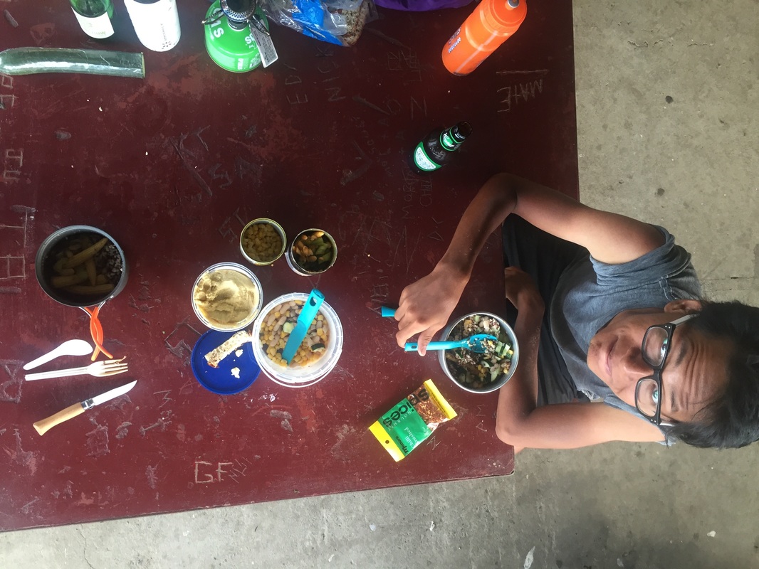
A couple of friends and I decided to cycle from Launceston to Hobart (through Cradle mountain). I found a guide on the Discover Tasmania website with info from Hobart to Launceston but it warned us of the lack of food and water stops in the area. So we spent many hours trying to figure (google) out how not to starve, I'm writing it up in case it might help others. In the end the West Coast is BEAUTIFUL and mountainous! I felt like I was in the Swiss Alps (or what I imagine the Alps to look like, it's on my bucket list). The valleys, rivers, and lakes. The interesting towns we rolled through. The final stats Distance Travelled: 721.1 kms Elevation gain: 11, 186 metres Baked Beans: 3 cans Fights: 2 Muesli bars (per person): 3 a day = 27 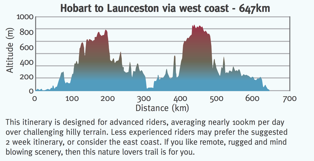 Day 1 - Sydney - LauncestonFlew from Sydney to Launceston, arrived at 12pm. Setup bike at the airport (the airport has 2 bike stands with bike tools). Yes it's amazing. Ride from the airport to the main city grabbed lunch at a bakery. Cruised around town, check out the James Boag's brewery and the gorge. Launceston Highlights: Warning: This city be hilly! Strava details: link 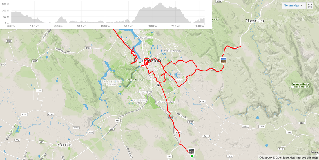 Day 2 - Launceston - Deloraine Route: Launceston - Deloraine Distance: 52 kms Elevation: Accommodation: Camping grounds by the river and a train line Shops: IGA, bakery, pubs, liquor store Highlights:
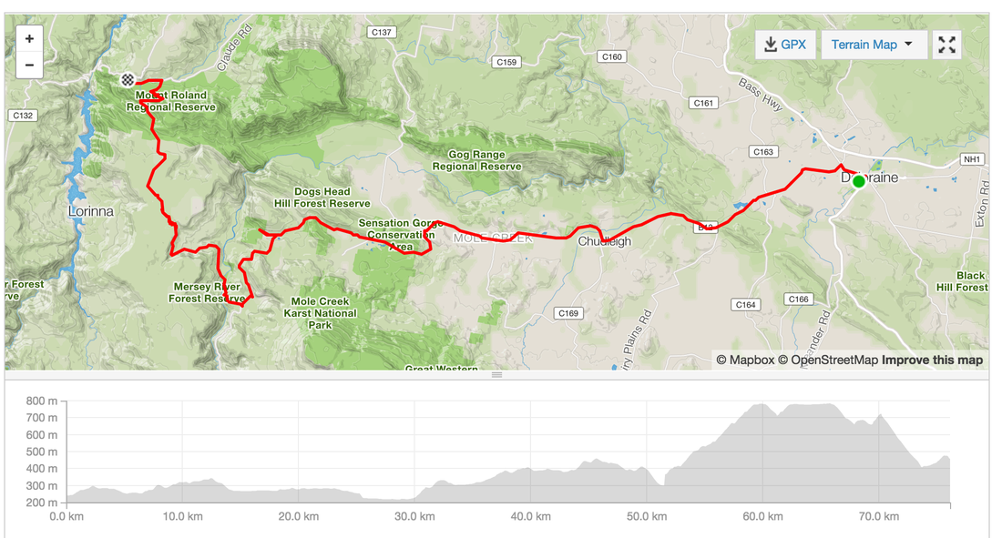
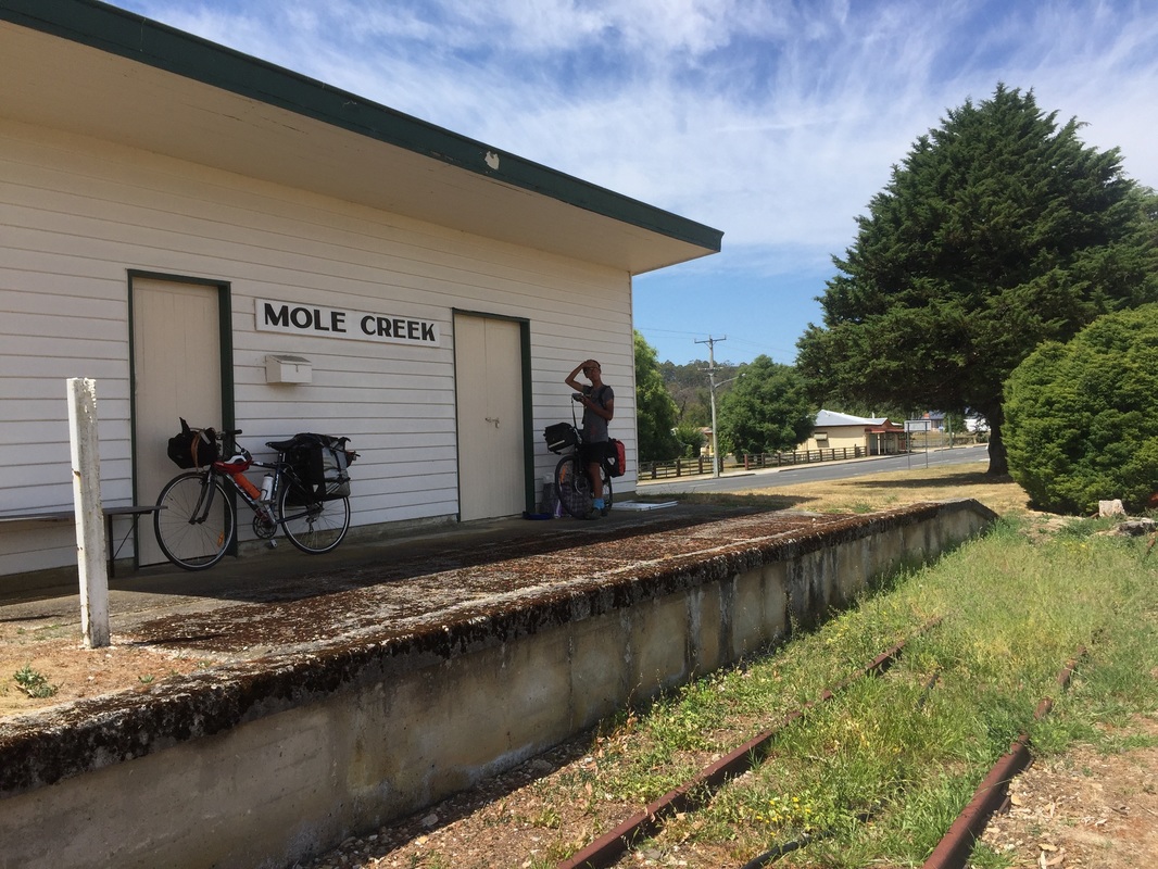
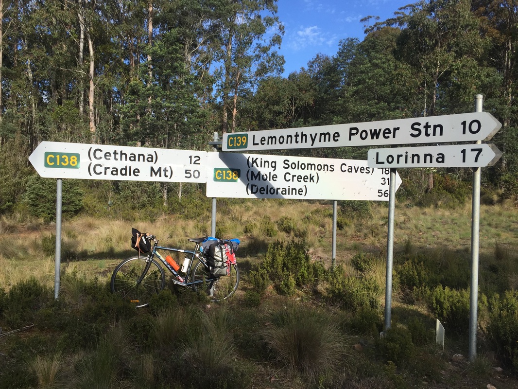
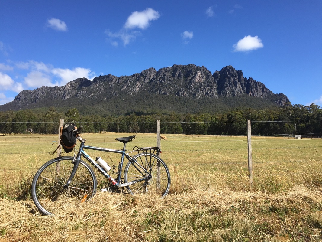
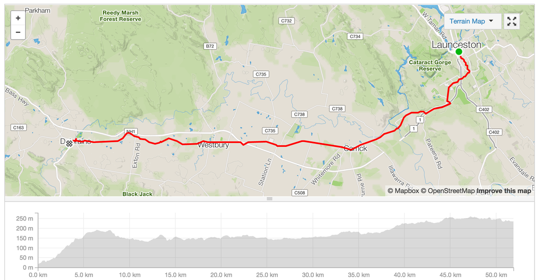 Day 3 - Deloraine - Base of Cradle MountainRoute: Deloraine - Base of Cradle Mountain Distance: 76.1 kms Elevation: 1,460 m Accommodation: Behind the Cafe in someone's backyard (not recommended) Shops: Not much. Cafe at Cethane closed at night Highlights:
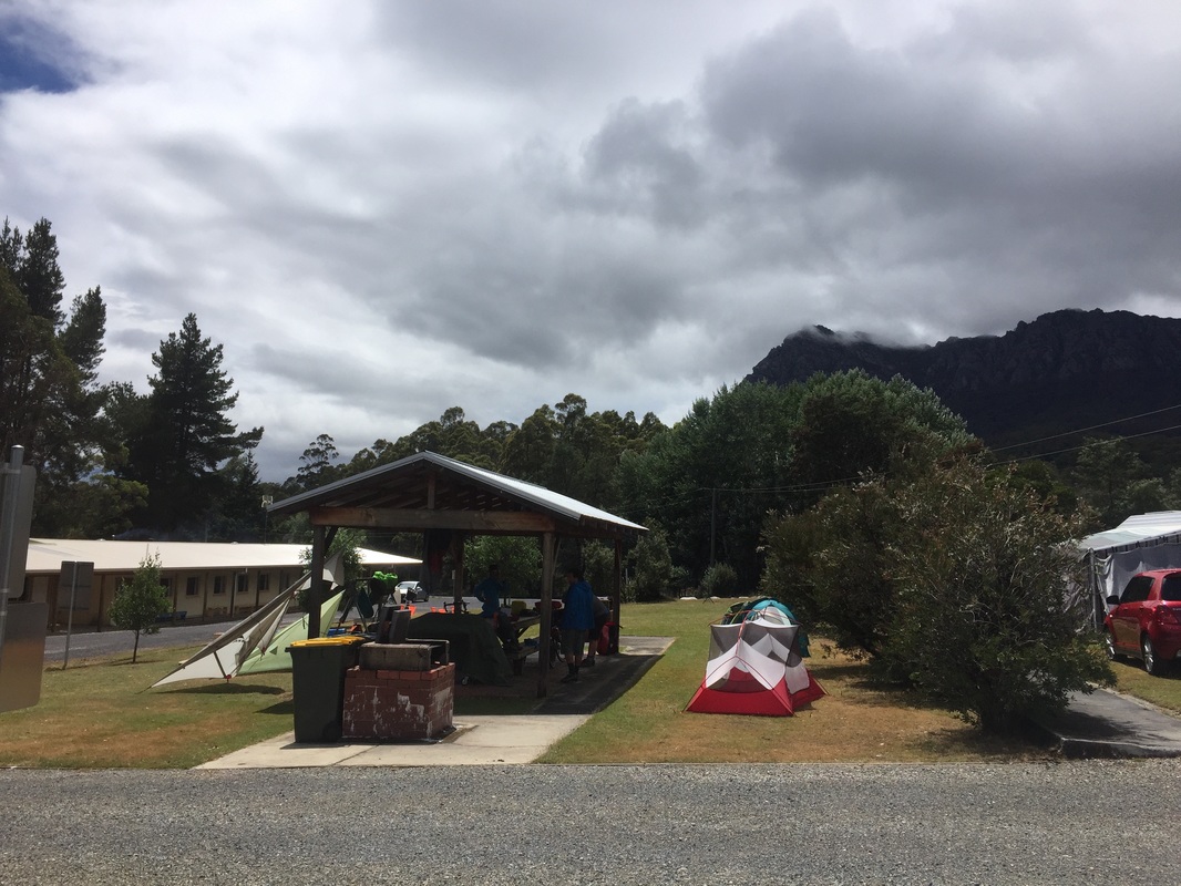
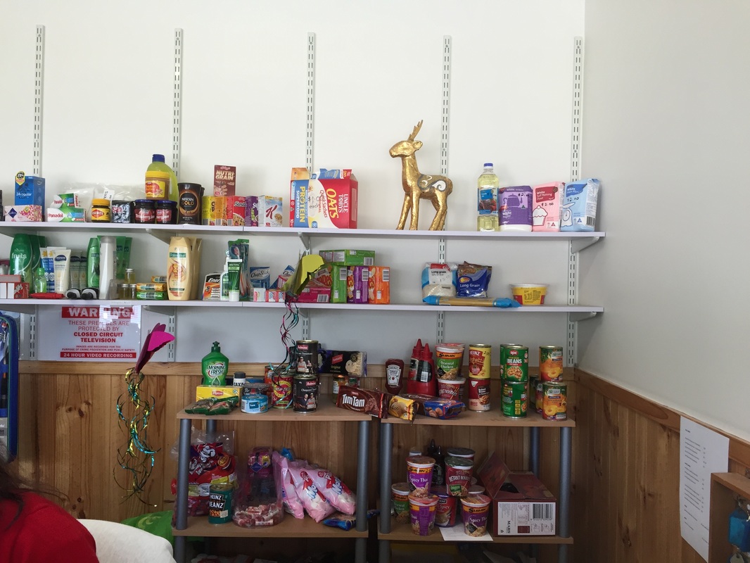
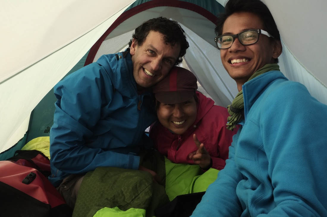
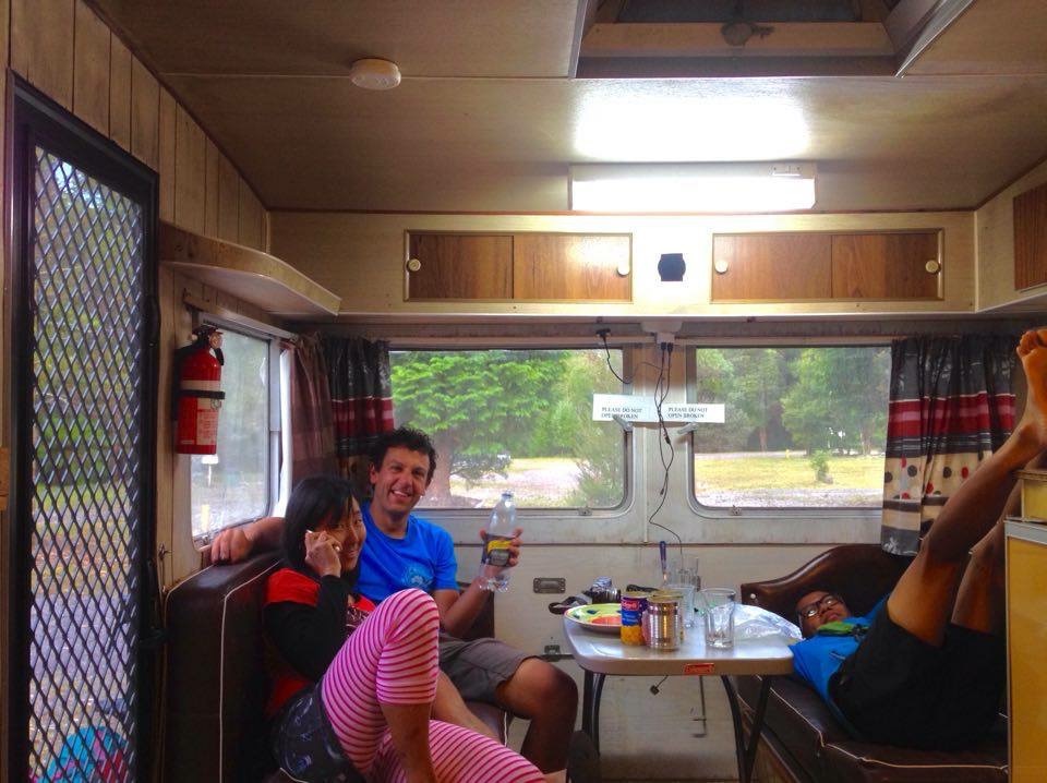
 Day 4 - Rain day means rest dayRained out Shops: Non. Limited supply of canned goods at Gowrie caravan park Accommodation: Cabin at Gowrie caravan park Highlights:
0 Comments
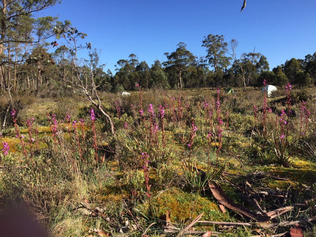
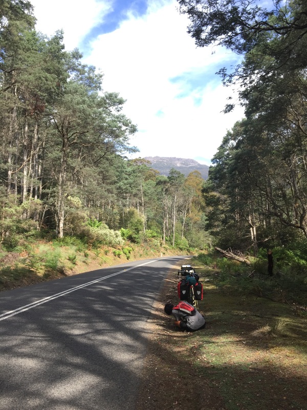
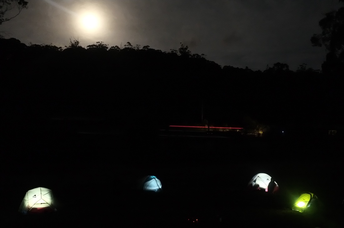
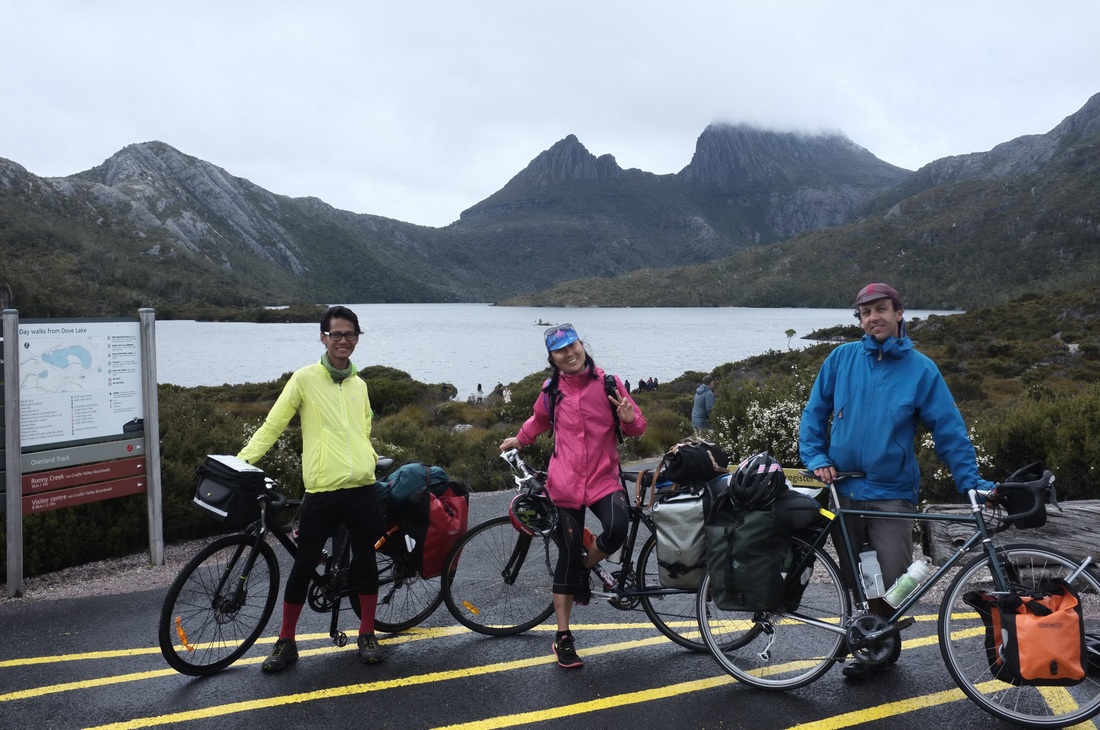
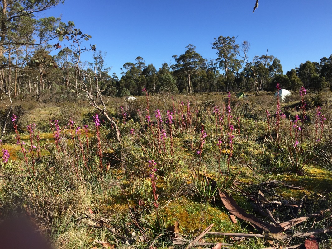
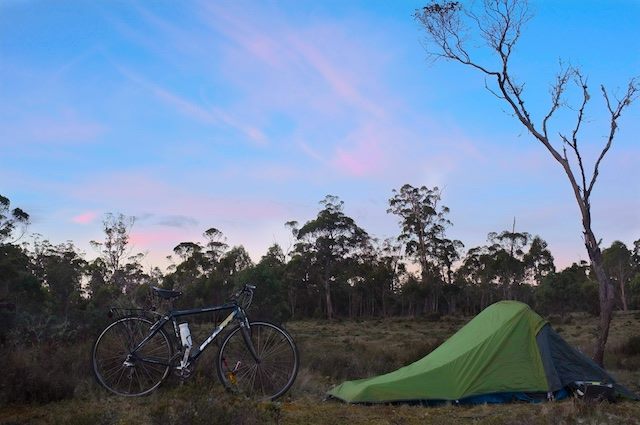
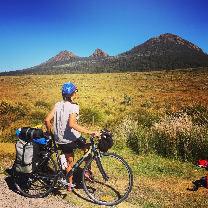
Day 5 - Cradle MountainDistance: 78.5 kms Elevation: 2,112 m Accommodation: Side of the road in massive open fields in Belvoir Shops: No shops. Cafe at Cradle Mountain. Small shop at a caravan park near Cradle Water: No water at Cradle Mountain. Water at Belvoir (but didn't look too clean) Strava: https://www.strava.com/activities/457690542 Highlights:
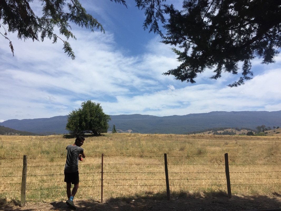
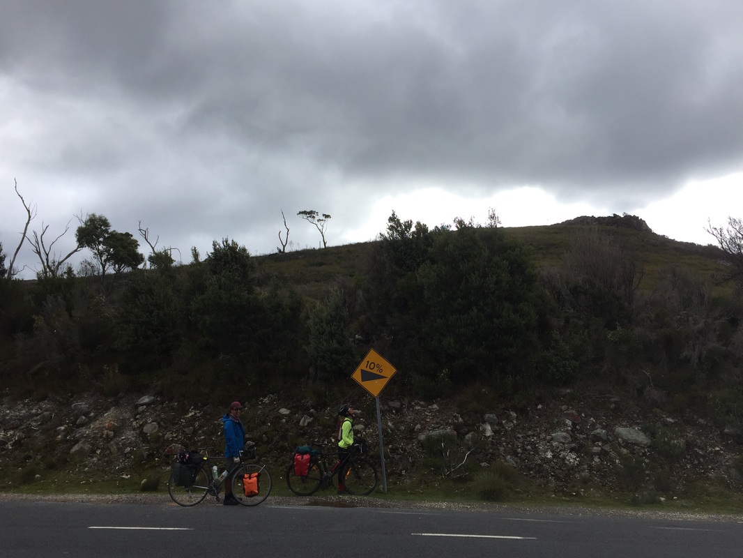
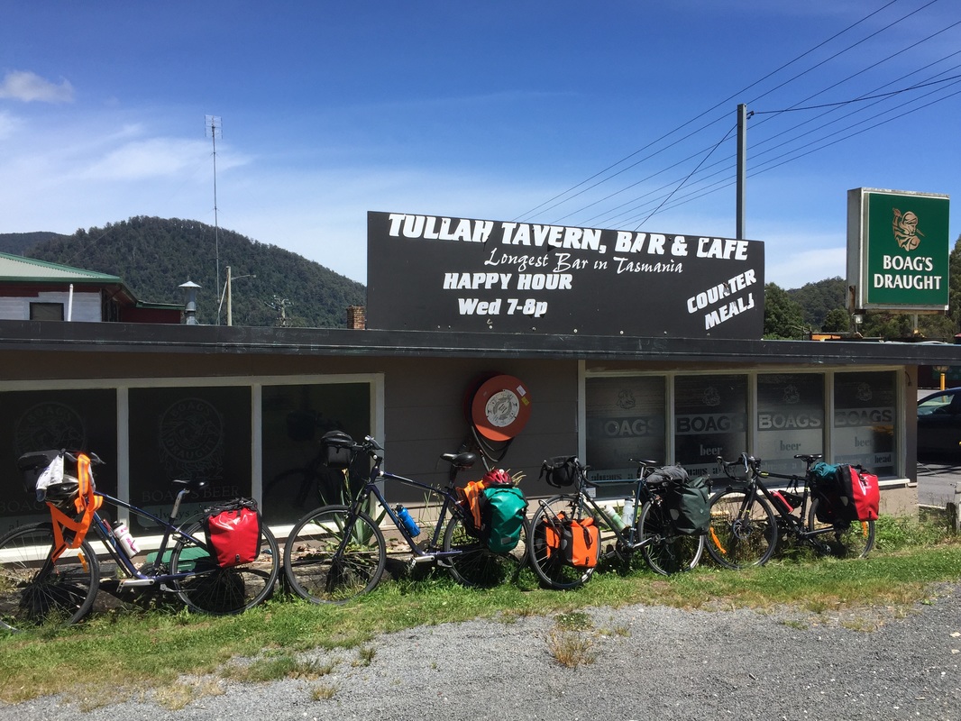
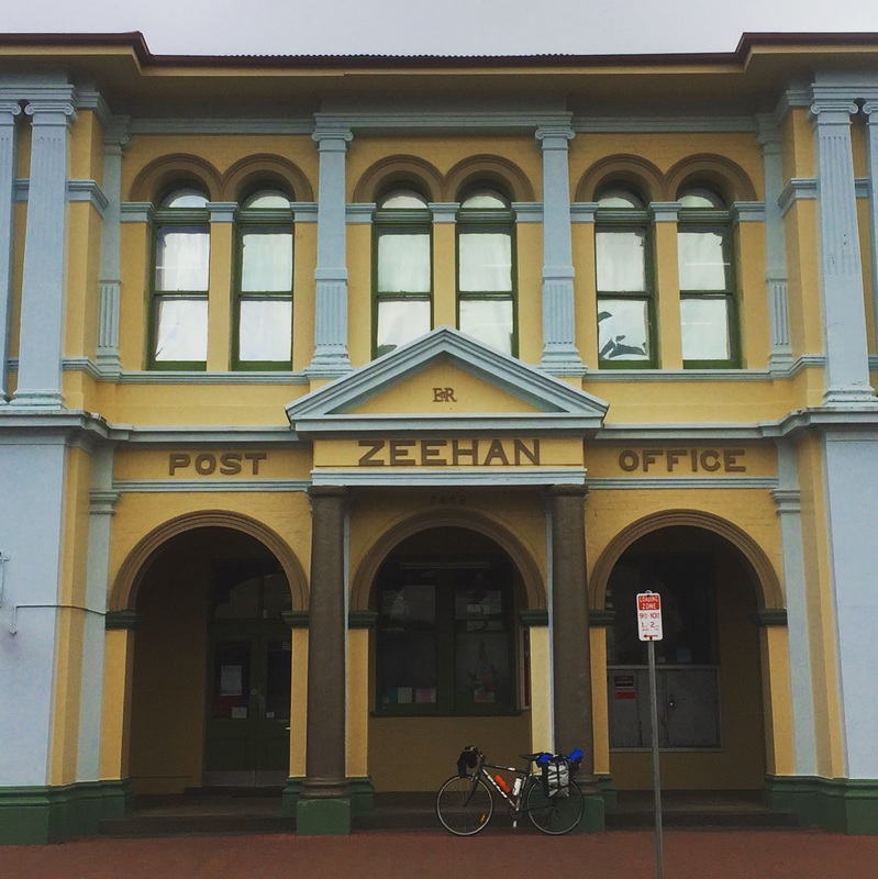
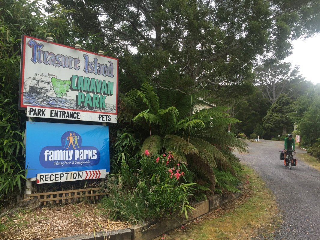
Warning: It's cold in the mountains and at night. 4 degrees. Bring thermals. 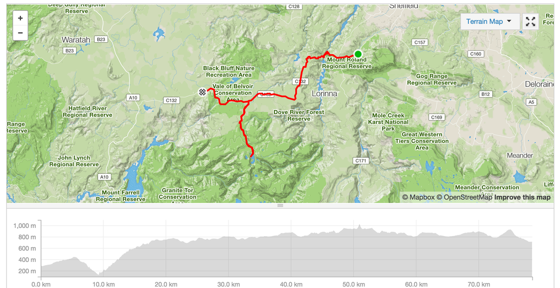 Day 6 - Belvoir - ZeehanRoute: Belvoir, Tullah, Roseberry Distance: 83.6 km Elevation: 1,280 m Lunch: Pub/Cafe in Tullah with sandwiches and burgers Food: IGA at Roseberry, IGA at Zeehan, Pub (not recommended) Accommodation: Treasure Island Caravan park at Zeehan Strava: https://www.strava.com/activities/457771928 Highlights:
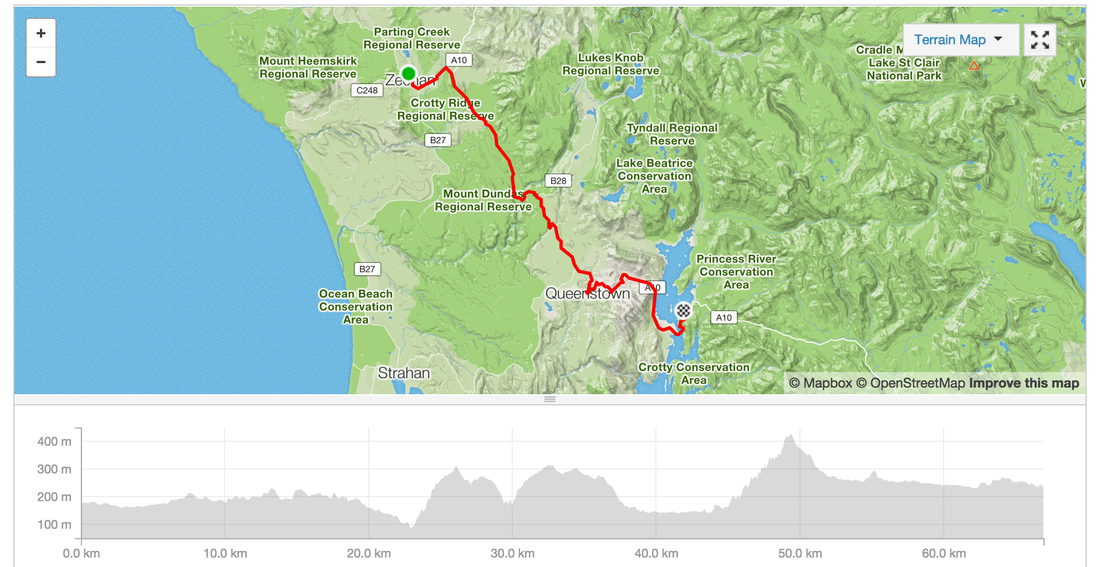
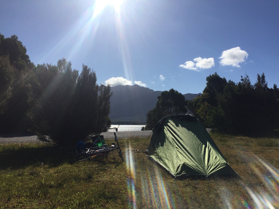
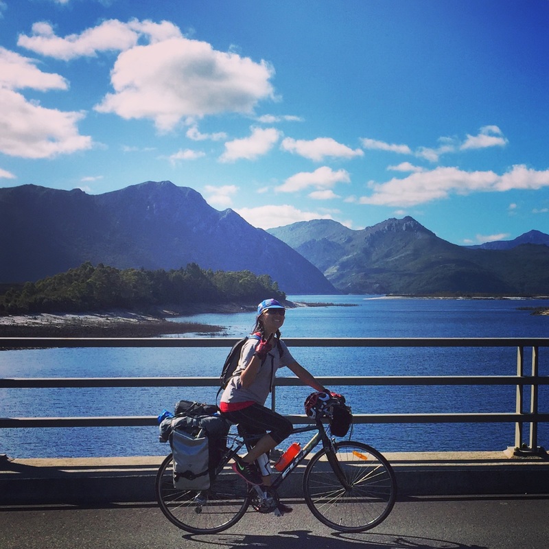
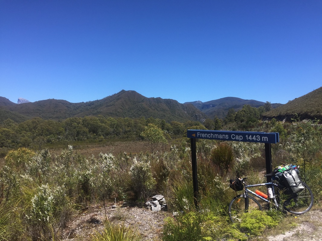
Warning: Zeehan looks rough but the caravan park people are very friendly 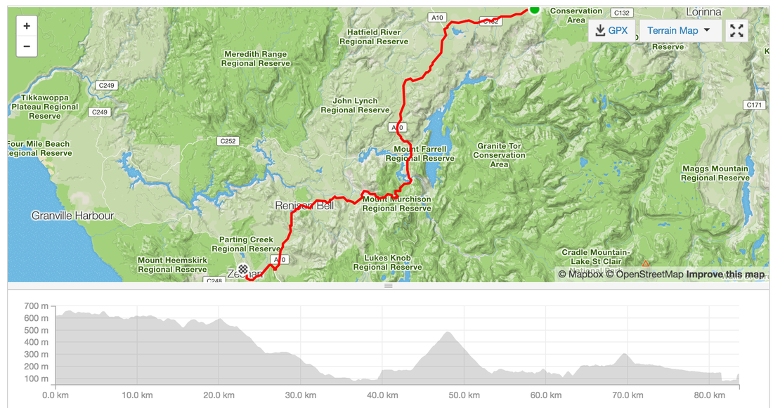 Day 7 - Zeehan - Queenstown - Lake BurburyDistance: 66.9 kms Elevation: 1,157m Strava: https://www.strava.com/activities/459154774 Shops: In Queenstown plenty of pubs, cafes, bakeries, IGAs, second store Accommodation: Lake Buubury Camping Highlights:
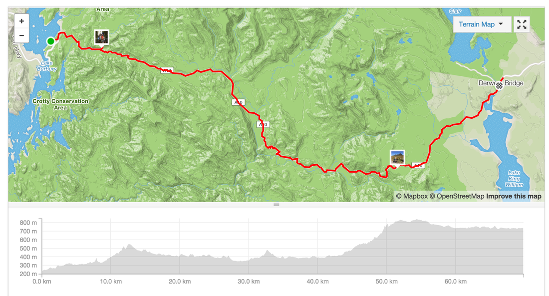
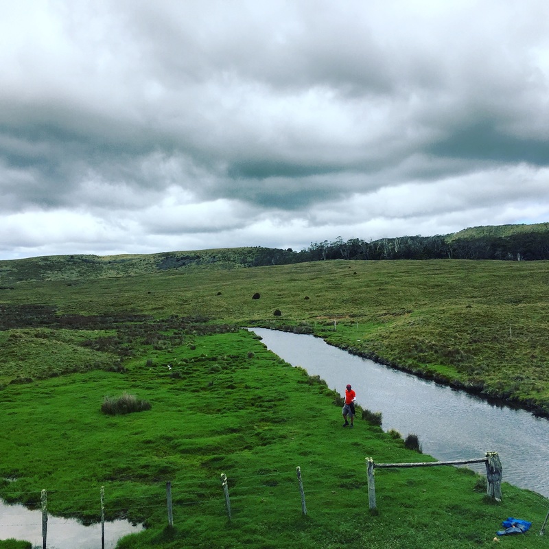
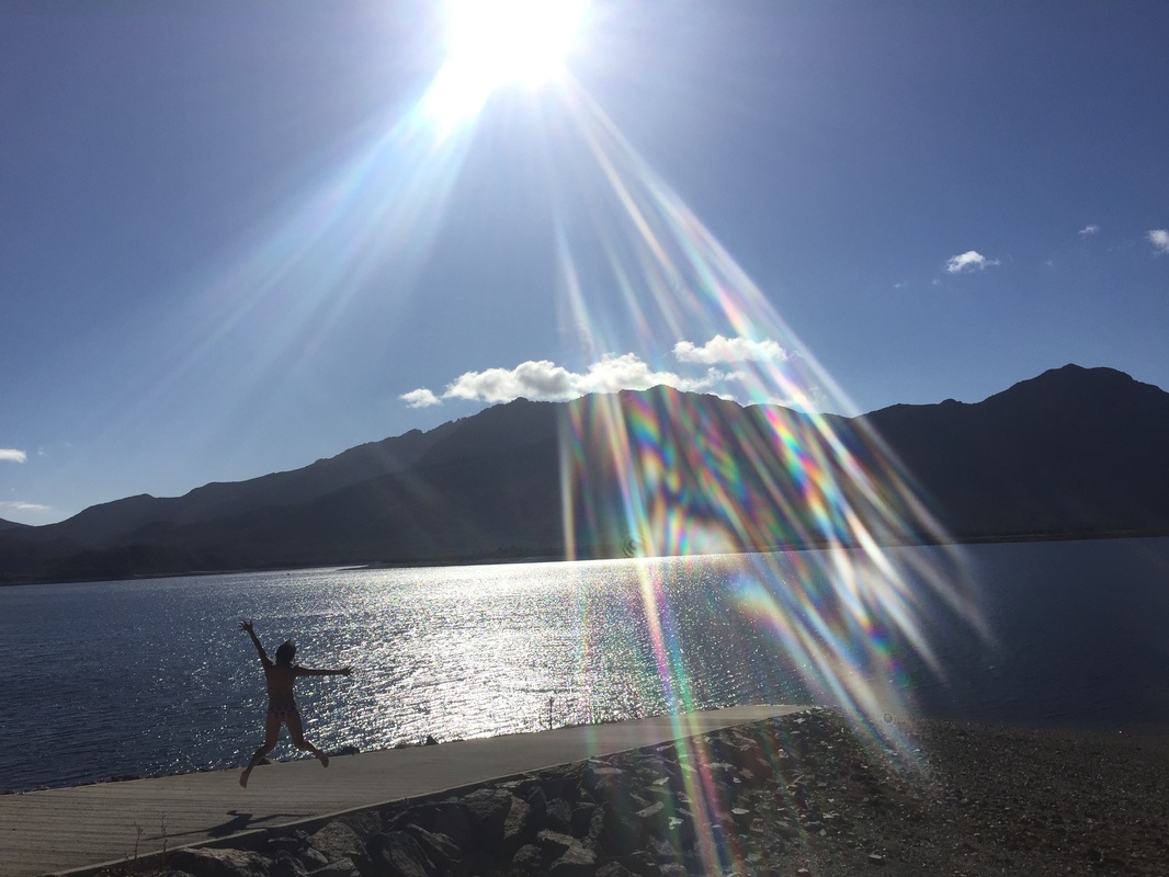
 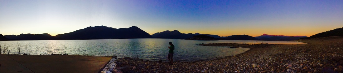 Day 8 - Lake Burbury - Derwent Birdge - Lake St ClairDistance: 69.8 kms Elevation: 1,663m Shops: Grocery Shop at Derwent bridge closes at 6pm (yep we missed it). Massive pub with grub (pircey) Accommodation: Free camping (with National Park entry) inside the park along the walking trail, no shower facilities, water at the cafe, toilet is a dunny Strava: https://www.strava.com/activities/459145891 Highlights:
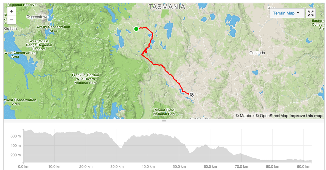
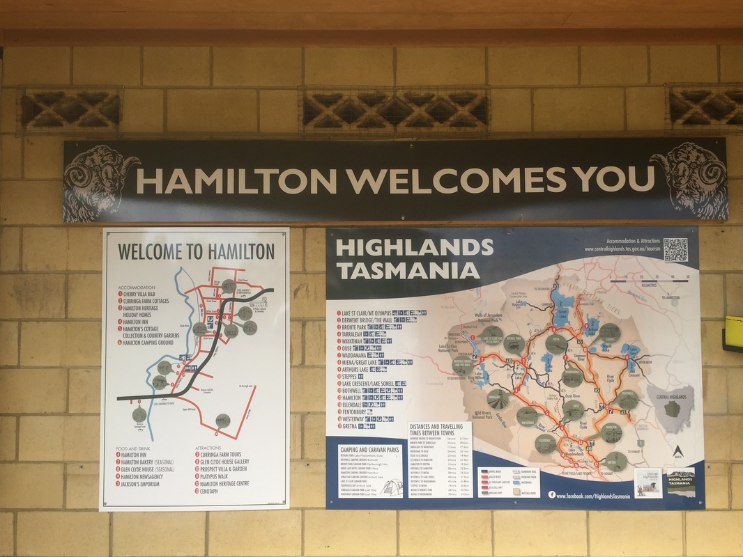
 Day 9 - St Clair - HamilitonIt's all downhill from now (kinda). Riding in 40 degree heats on the last day of 2015. I felt deserved a tub of ice-cream. Distance: 92.6 kms Elevation: 1,247 m Shops: IGA at Ouse, no facilities at Accommodation: Camping in Hamilton (coin operated showers) great facilities Strava: https://www.strava.com/activities/460412783 Warning: No shops in Hamilton. IGA in Ouse for supplies (groceries and a pub) Highlights:
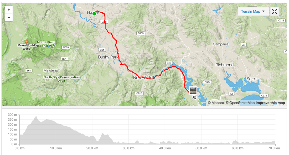
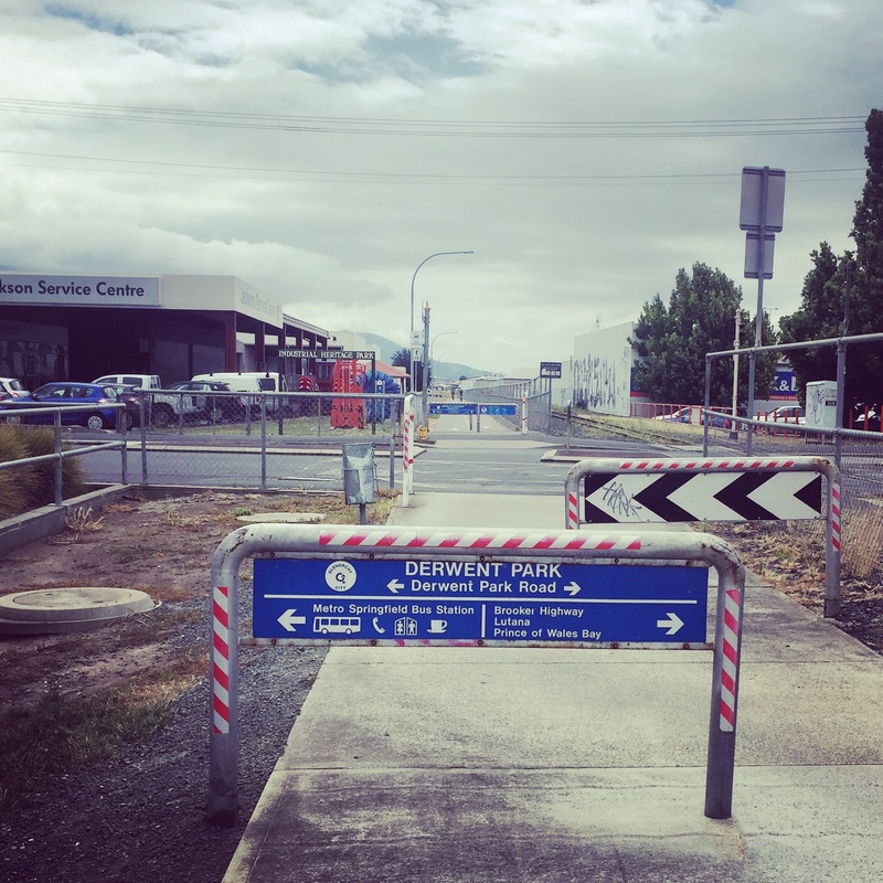
 Day 10 - Hamilton - HobartDistance: 70.4 kms Elevation: 614 m Shops: New Norfolk shopping centre Accommodation: Springvale hostel, New Town (boarding house converted to hostel during holidays) Warning: Winds! Strava link Highlights:
 |
Archives
July 2023
Categories
All
|


 RSS Feed