|
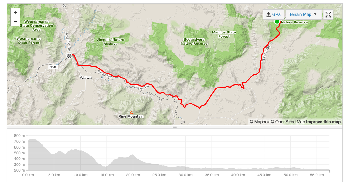
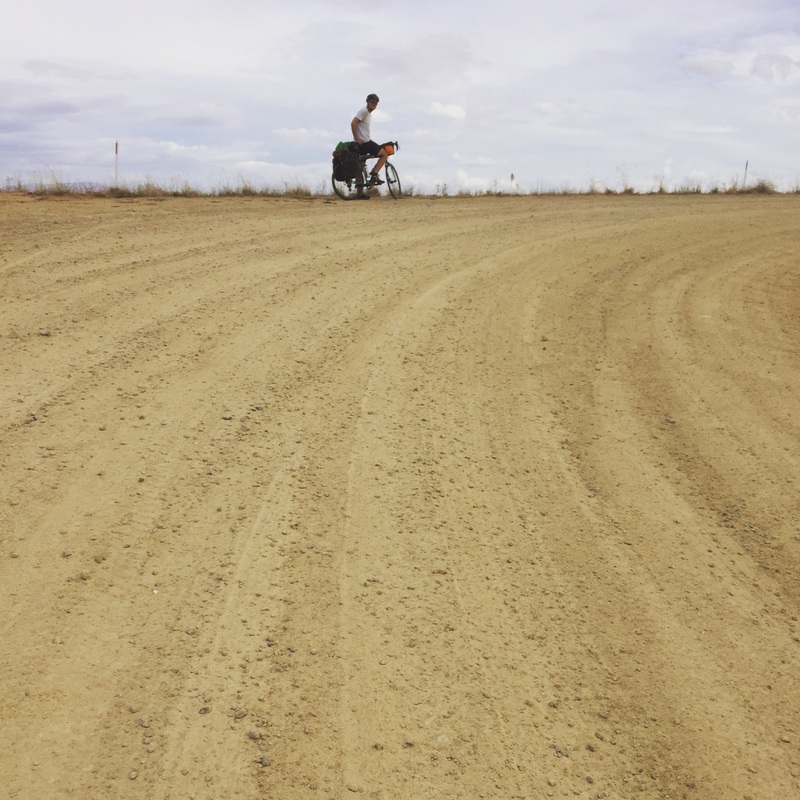
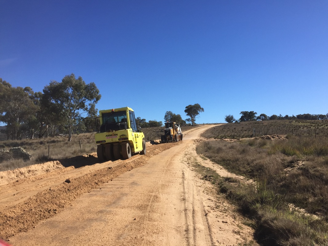
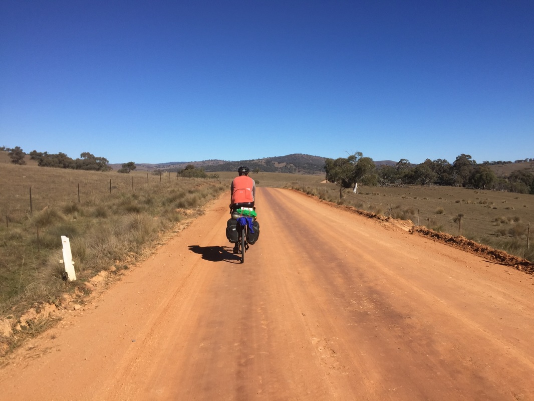
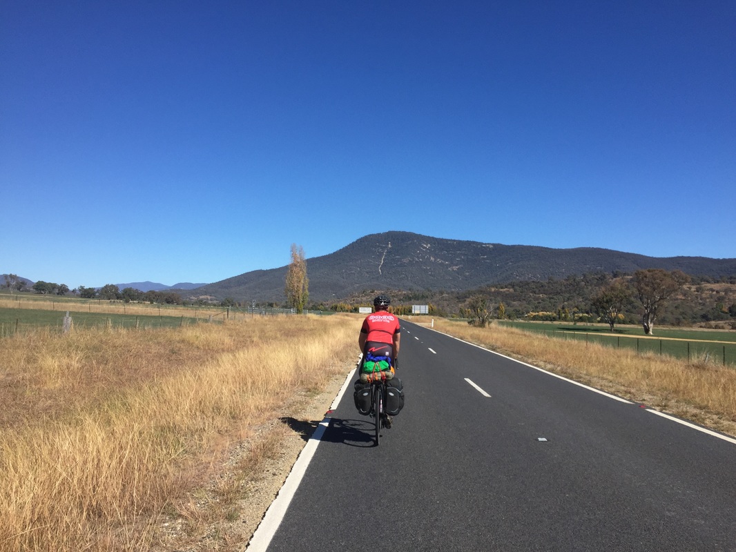
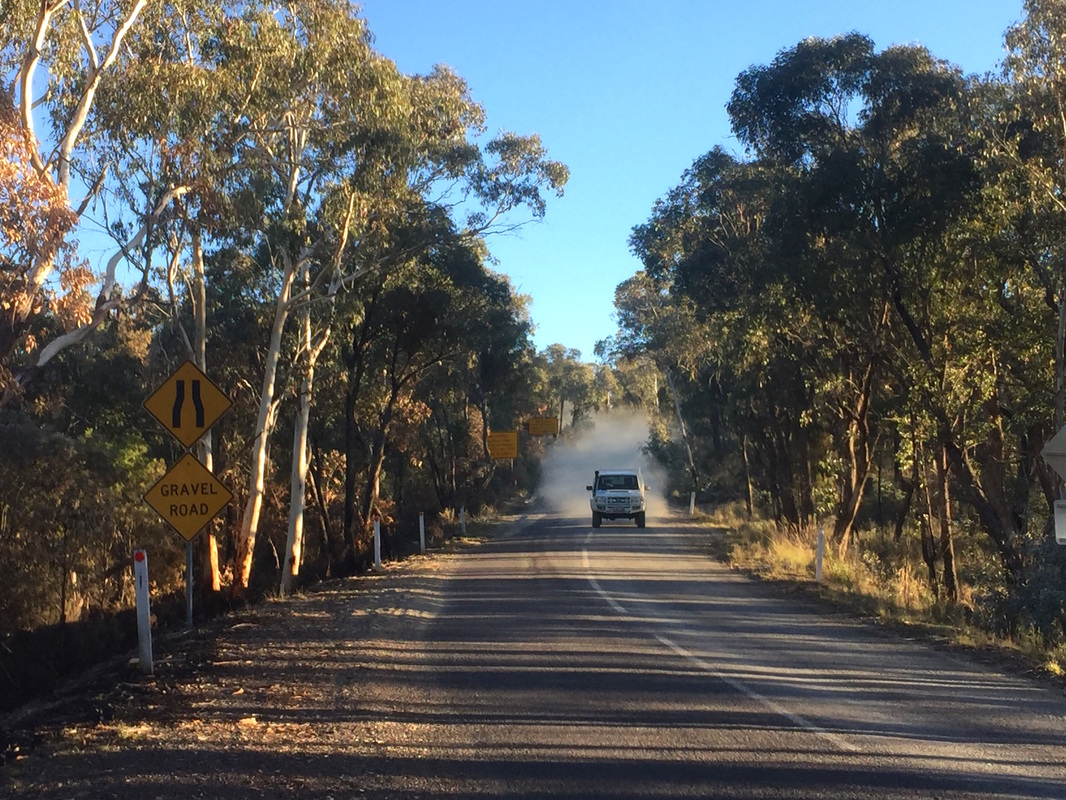
Distance: 57.3 kms Elevation: 522 m Road: On Road, then gravel with corrugations from Tooma (nasty) for 35 kms Difficulty: Medium - Hard Strava: link Highlights
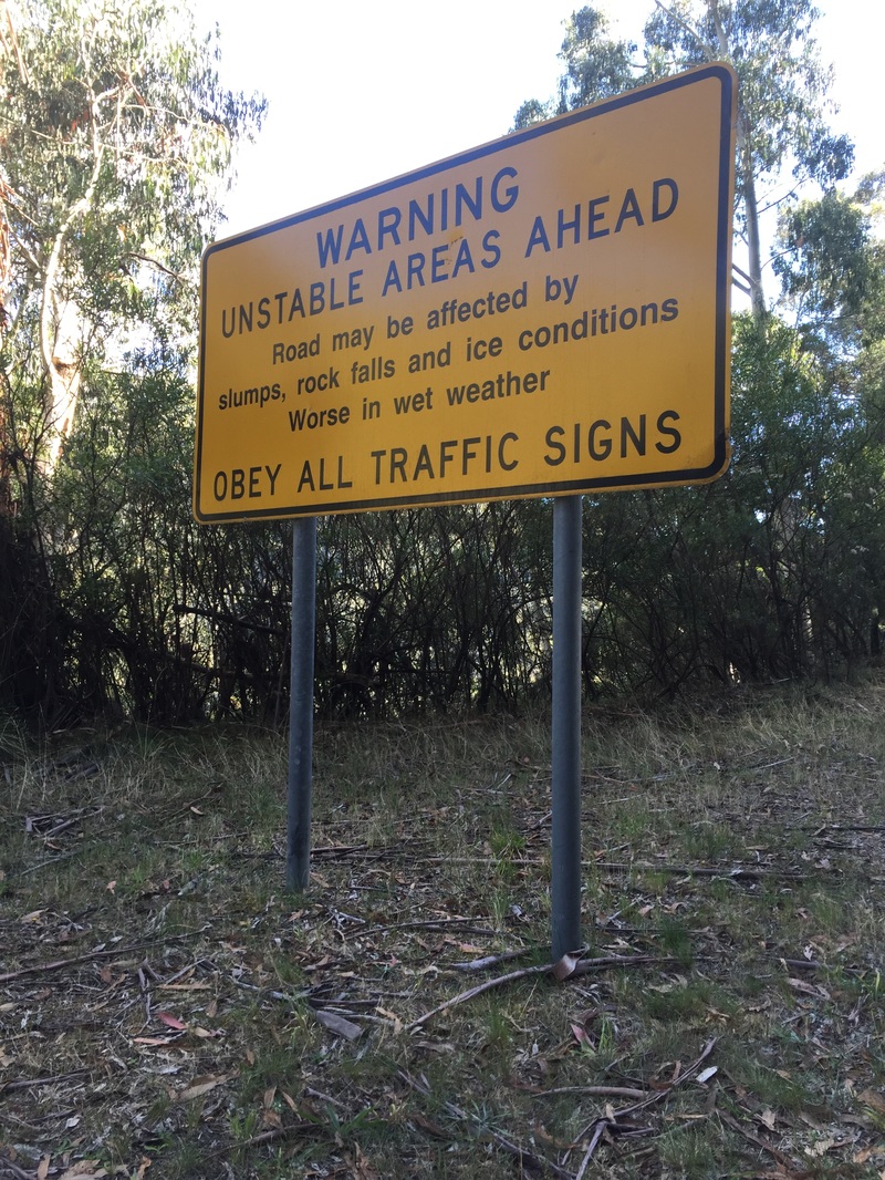
Warning
0 Comments
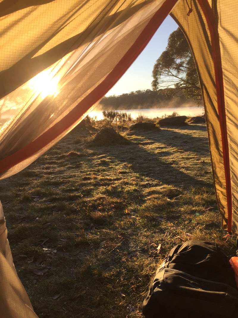
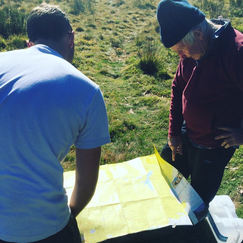
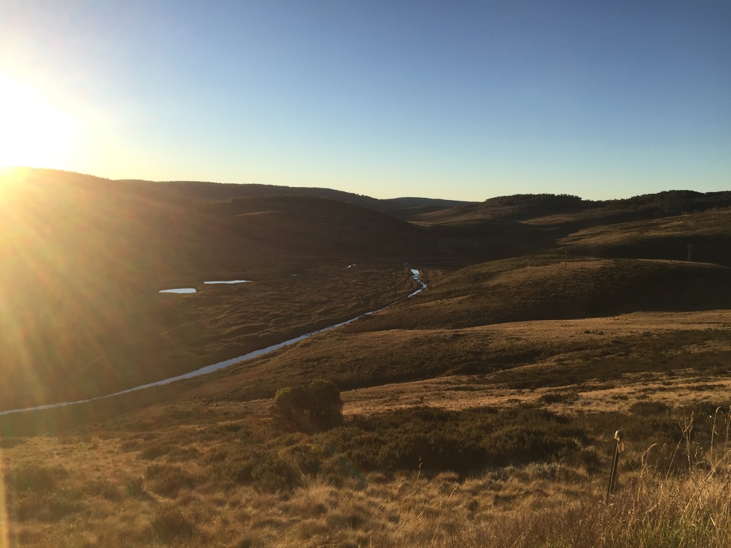
 Waking up to a frozen drink bottle isn't so bad when you're camping lake side and it's all misty when you wake up to the sun rising. Our neighbours are super helpful again showing us their topographical map with contours of the mountain ranges and then donating 4 litres of water. Much appreciated as we had our massive climb on a hot day. Distance: 63 km Elevation: 1,207 m Strava: link Warning: no water stops along the way. Highlights:
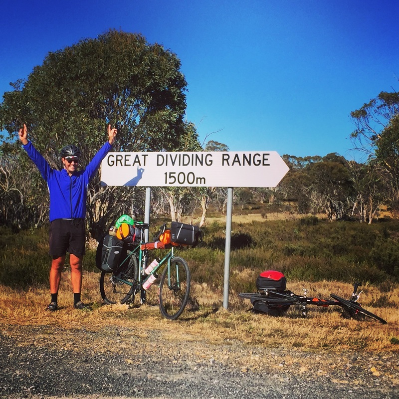
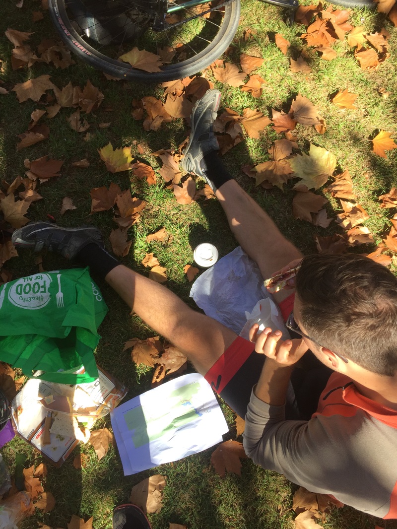
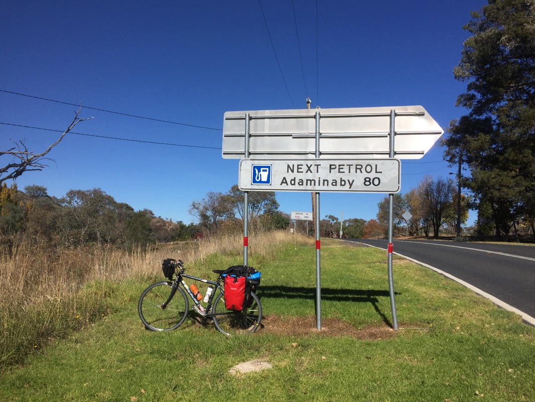
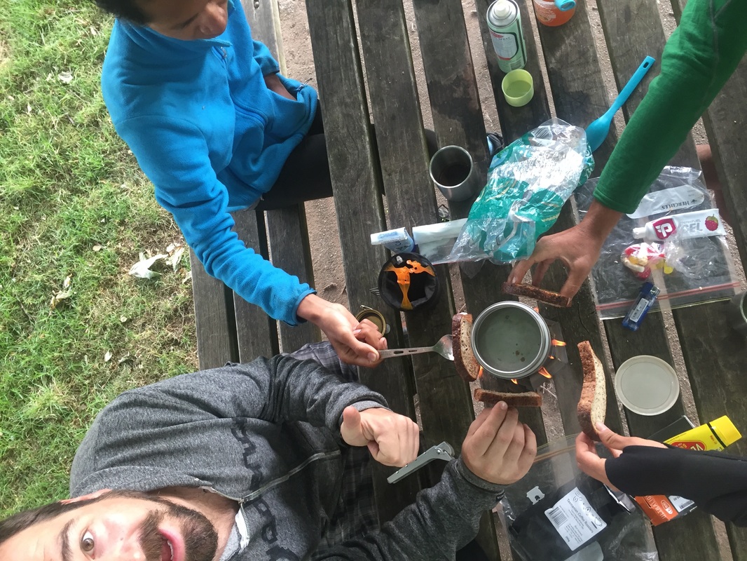
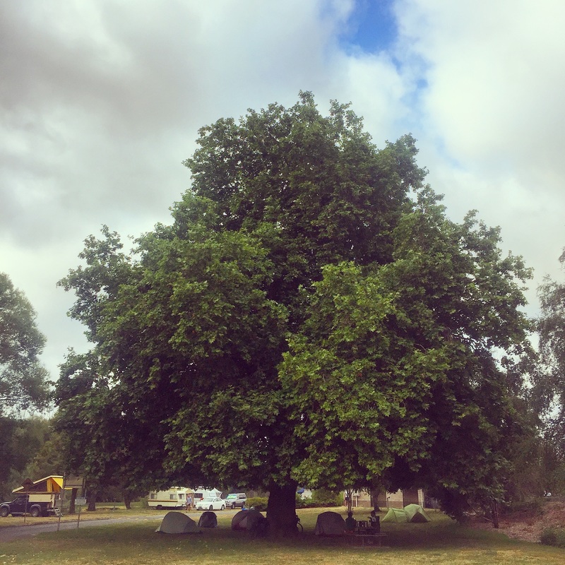
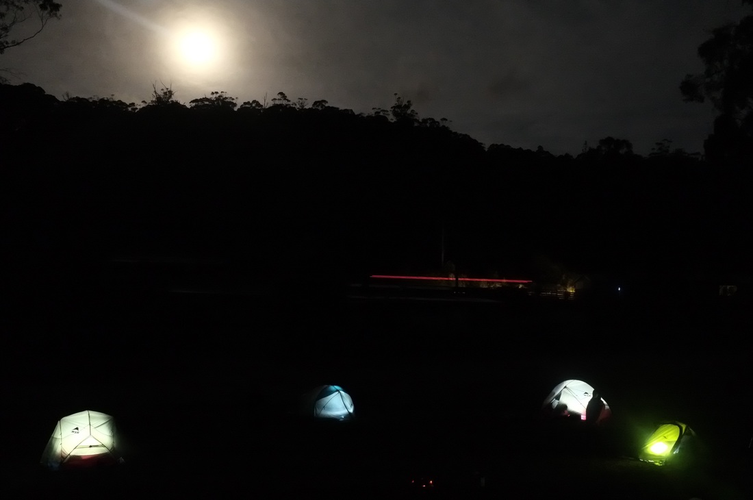
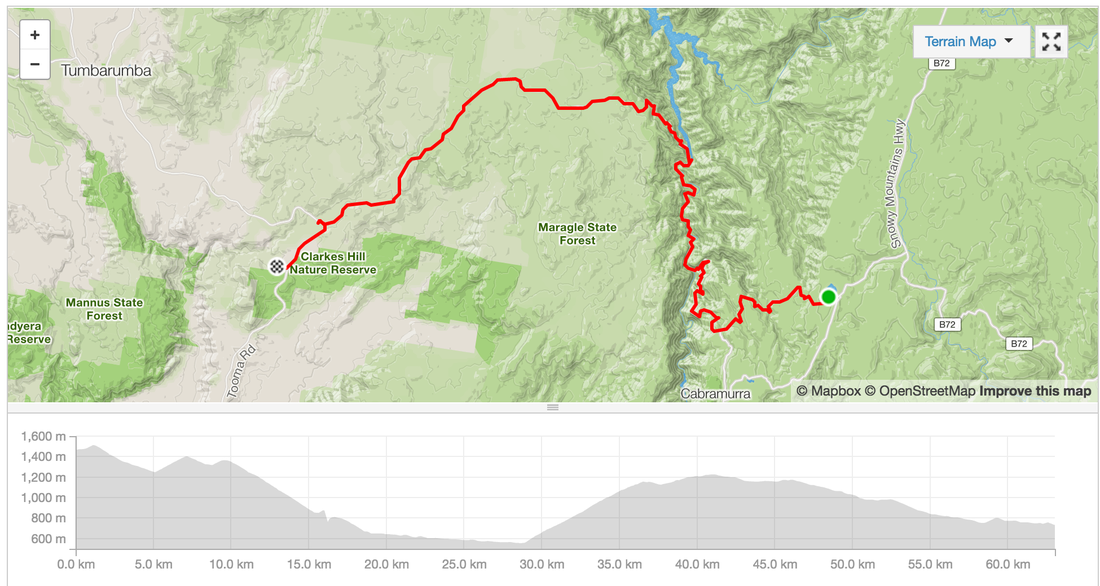 Wake up after a freezing cold night. Luckily we have enought fuel for a fire to warm some water to make porridge. However the gravel road out of Canberra along Bobeyan road is soul crushing. Our patience is thinning. We're not talking to each other and ready to burst. We make it out by 12pm and roll into Adaminaby for lunch. We sit eating in the fallen Autumn leaves planning the next section. We thought we'd be able to make it to O'Hare's rest area, but as the sun went down and still had 30 kms to go we realised there'd be no chance. Plan b get to a warmer flat ground, outta sight camp-able spot before we freeze. Hangry and cold we pass a sign for Selwayn Snowfields and come across a sign with the tent symbol, Three Mile Dam camp grounds. SCORE! We roll in and see several campervans with fires going and we're more at ease. The night gets better as we get invited to share the fire of our neighbouring campers who also have keen cycling children and are keen adventurers. Another close call. Distance: 74.5 kms Elevation: 1,478 m Difficulty: Hard Road: Gravel 43 kms, on road, beautiful decent into Kiandra goldfields Strava: link Start: Mt Clear End: Three Mile Dam Campground near Selwyn Snowfields Food: Lunch @ Adaminaby, cafes, bakery, pub, bowling club, general store with camping gear Highlights:
Anit-highlight
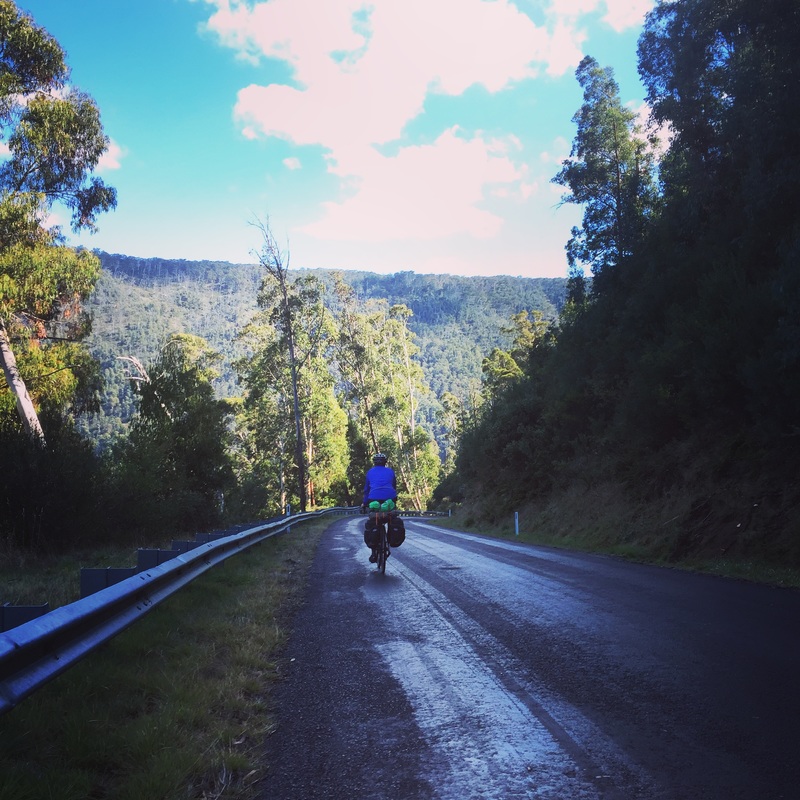
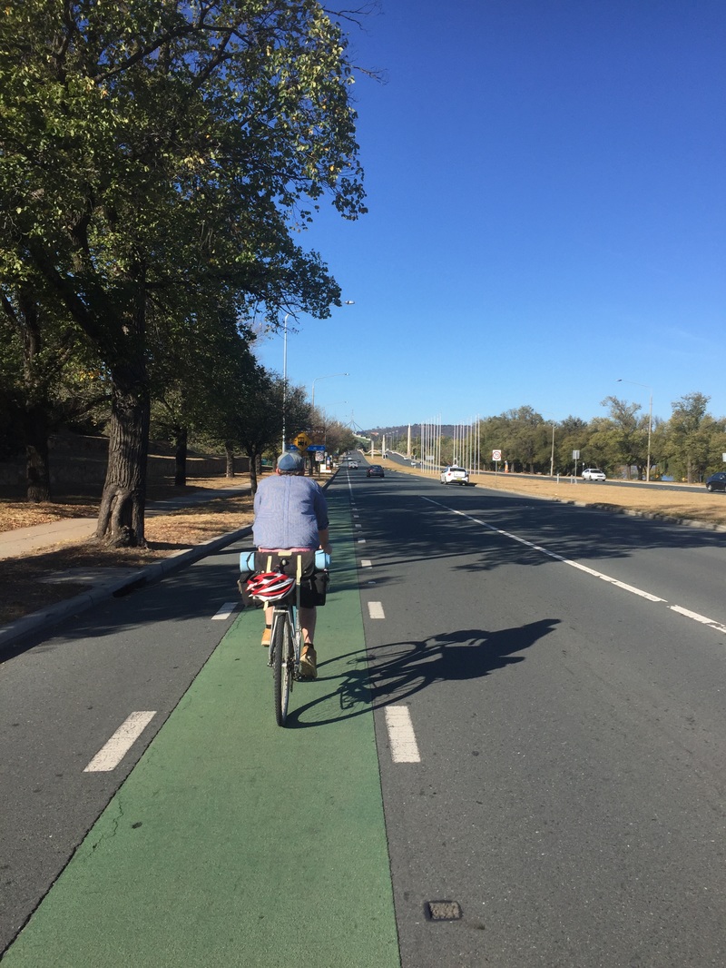
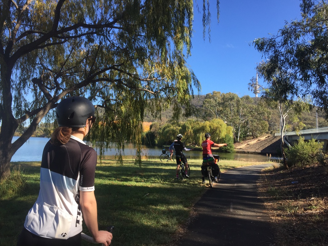
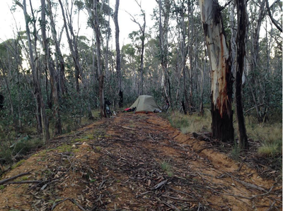
 After a night in the comfort of a bed at a friend's place, pub dinner and a hot shower we're on the road with a smaller entourage. We ride out to Thawra for brunch on ANZAC day and get some hot pides and turkish bread for the road. We're supposed to cover 120 kms but only managed half that after encountering some nasty gravel uphill roads which were a lot tougher than we'd hoped. By sunset we were looking to make camp on the side of the road anywhere it was flat Start: Canberra End: Somewhere on Mount Clear near Shannons flat Distance: 77.3kms Elevation: 1,694 m Difficulty: Hard Road quality: On bike paths until Thawra when it turned onto country roads. Then into gravel going into the state forest. Gravel with uphills. Strava: link Temperature: 10 degrees C at night Notes: No water from Thawra on. Must carry all water for 100 kms until Brayshaw's homestead. Highlights:
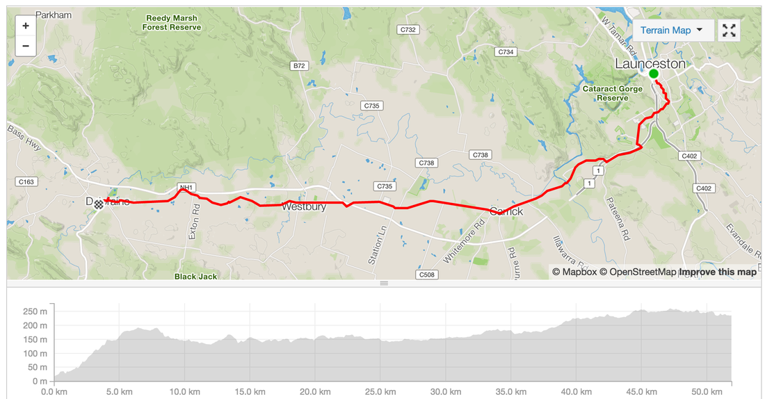
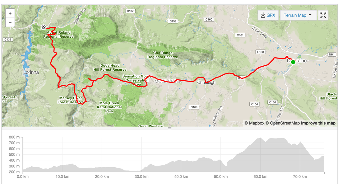
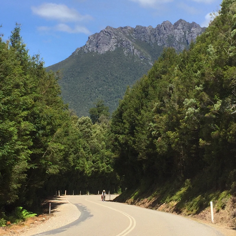
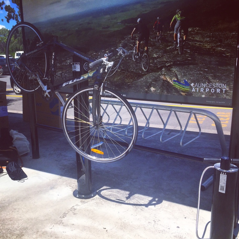
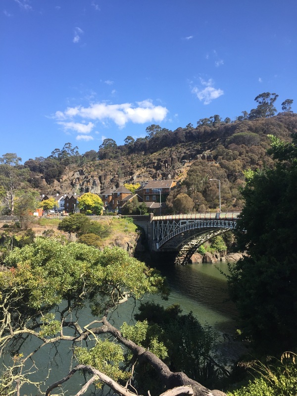
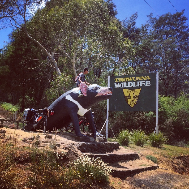
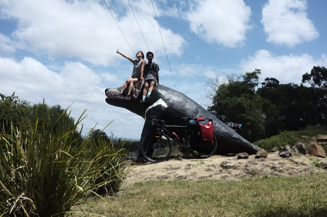
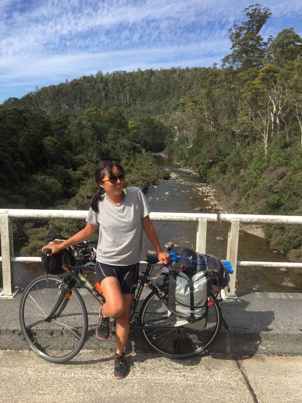
Some photos courtesy of @Elbosout 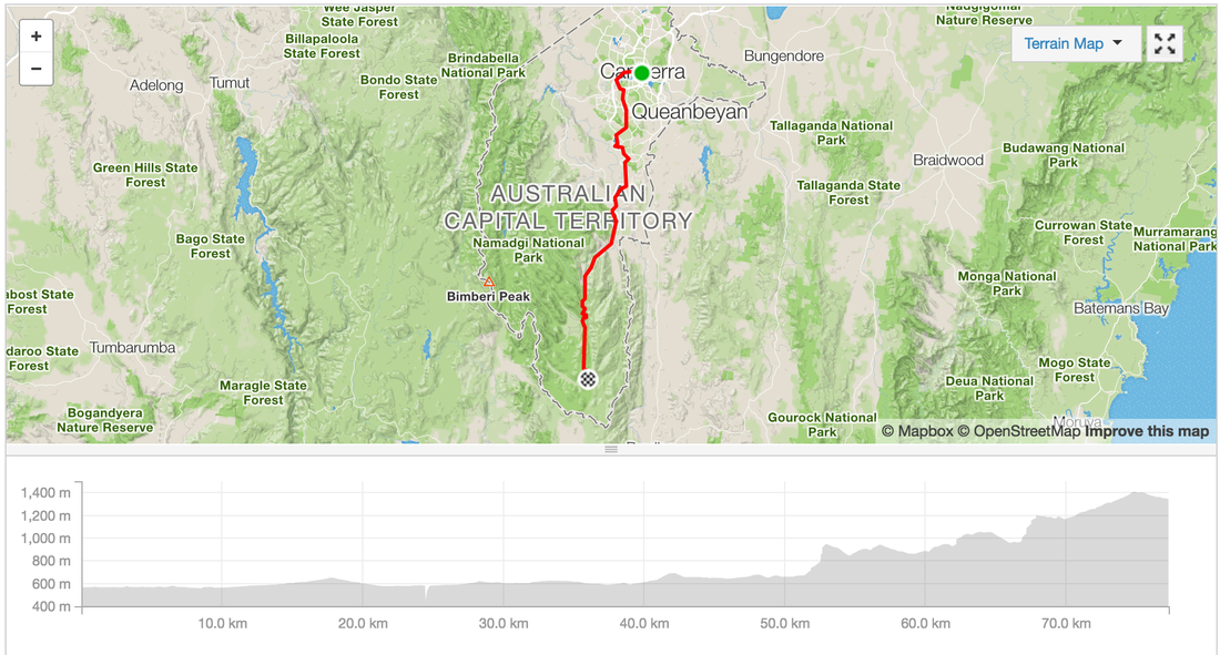 A couple of friends and I decided to cycle from Launceston to Hobart (through Cradle mountain). I found a guide on the Discover Tasmania website with info from Hobart to Launceston but it warned us of the lack of food and water stops in the area. So we spent many hours trying to figure (google) out how not to starve, I'm writing it up in case it might help others. In the end the West Coast is BEAUTIFUL and mountainous! I felt like I was in the Swiss Alps (or what I imagine the Alps to look like, it's on my bucket list). The valleys, rivers, and lakes. The interesting towns we rolled through. The final stats Distance Travelled: 721.1 kms Elevation gain: 11, 186 metres Baked Beans: 3 cans Fights: 2 Muesli bars (per person): 3 a day = 27 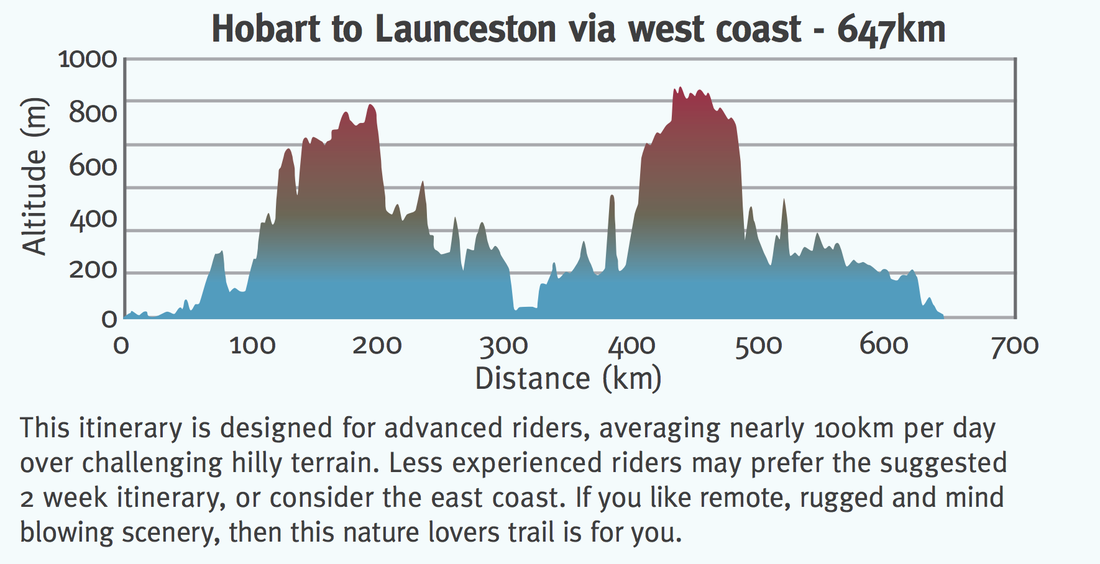 Day 1 - Sydney - LauncestonFlew from Sydney to Launceston, arrived at 12pm. Setup bike at the airport (the airport has 2 bike stands with bike tools). Yes it's amazing. Ride from the airport to the main city grabbed lunch at a bakery. Cruised around town, check out the James Boag's brewery and the gorge. Launceston Highlights: Warning: This city be hilly! Strava details: link  Day 2 - Launceston - Deloraine Route: Launceston - Deloraine Distance: 52 kms Elevation: Accommodation: Camping grounds by the river and a train line Shops: IGA, bakery, pubs, liquor store Highlights:
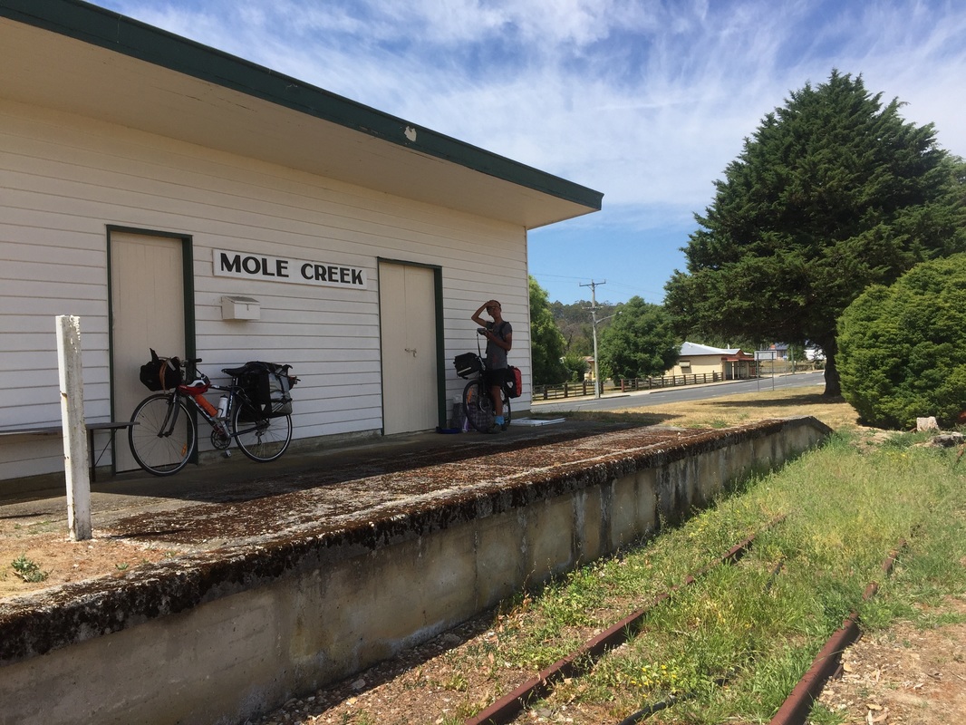
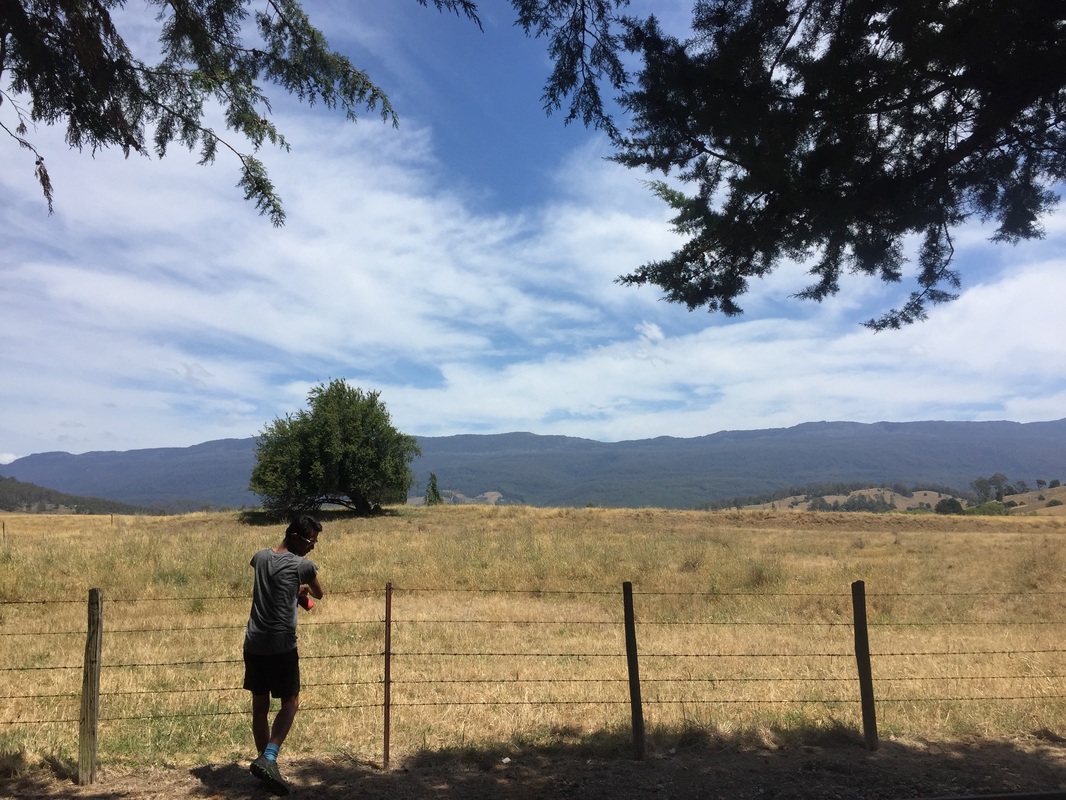
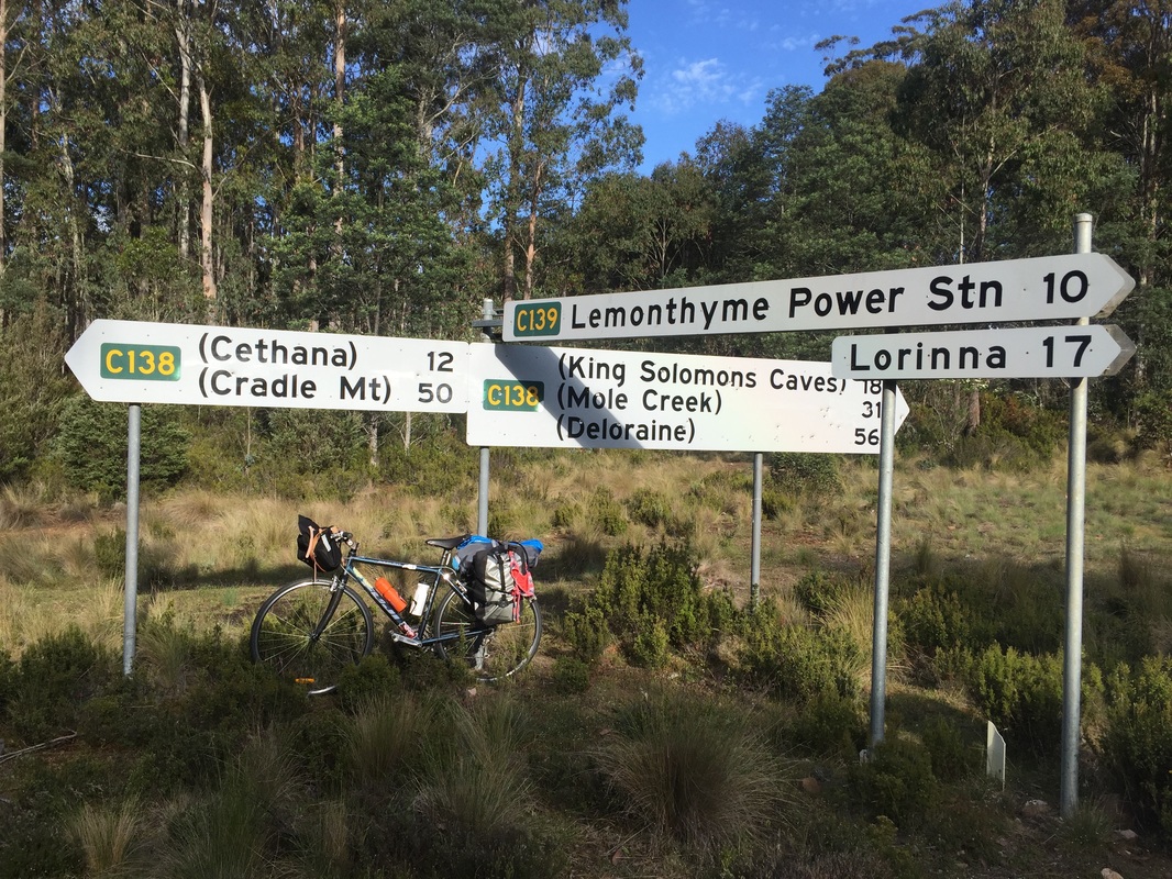
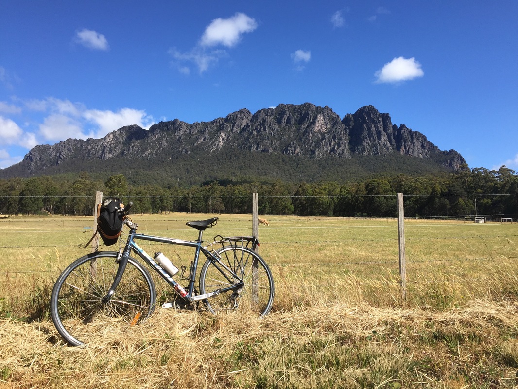
 Day 3 - Deloraine - Base of Cradle MountainRoute: Deloraine - Base of Cradle Mountain Distance: 76.1 kms Elevation: 1,460 m Accommodation: Behind the Cafe in someone's backyard (not recommended) Shops: Not much. Cafe at Cethane closed at night Highlights:
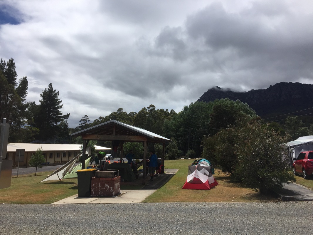
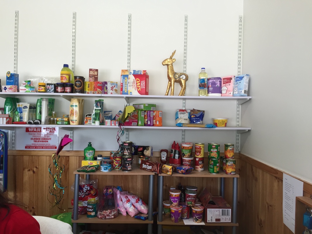
 Day 4 - Rain day means rest dayRained out Shops: Non. Limited supply of canned goods at Gowrie caravan park Accommodation: Cabin at Gowrie caravan park Highlights:
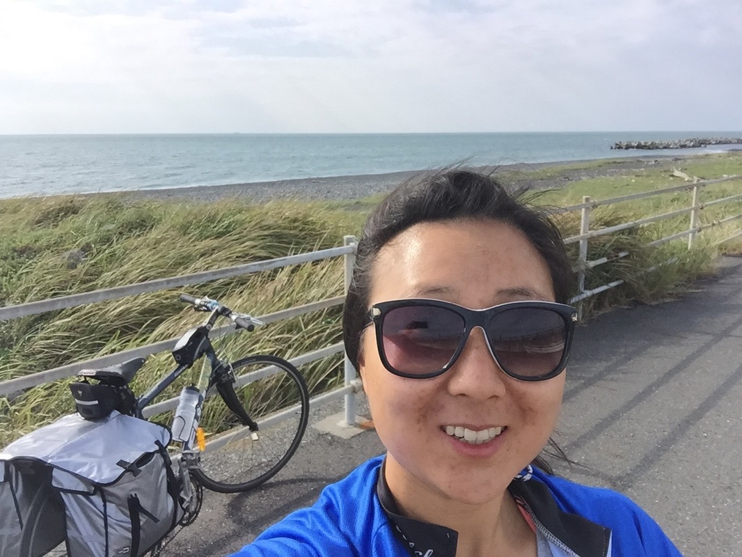
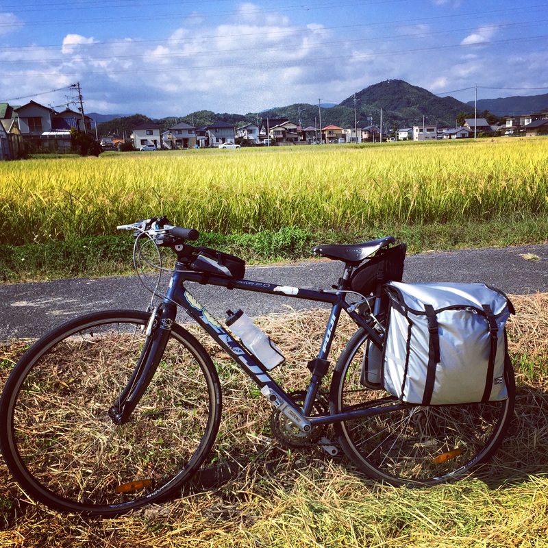
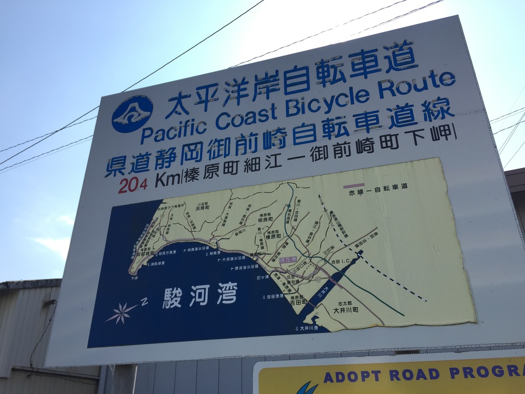
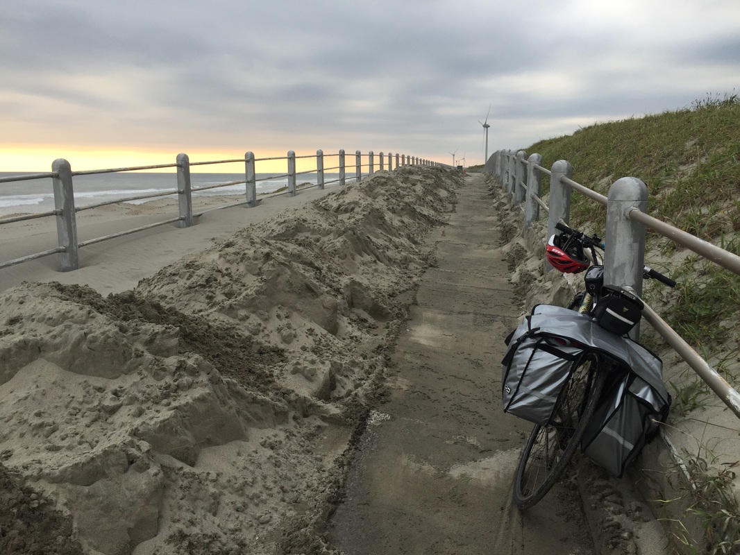
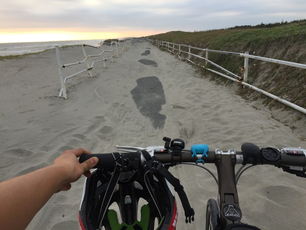
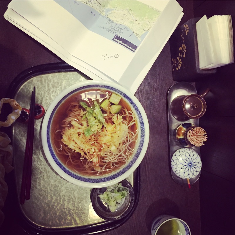
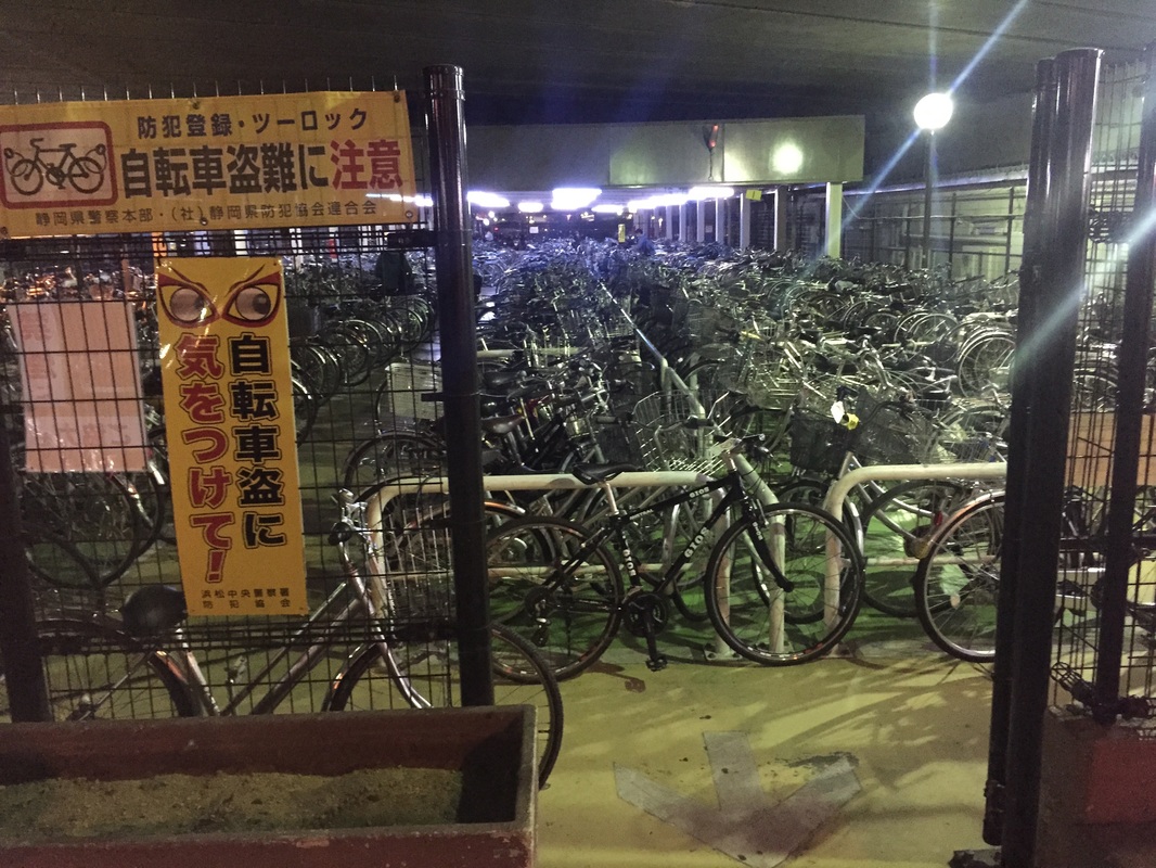
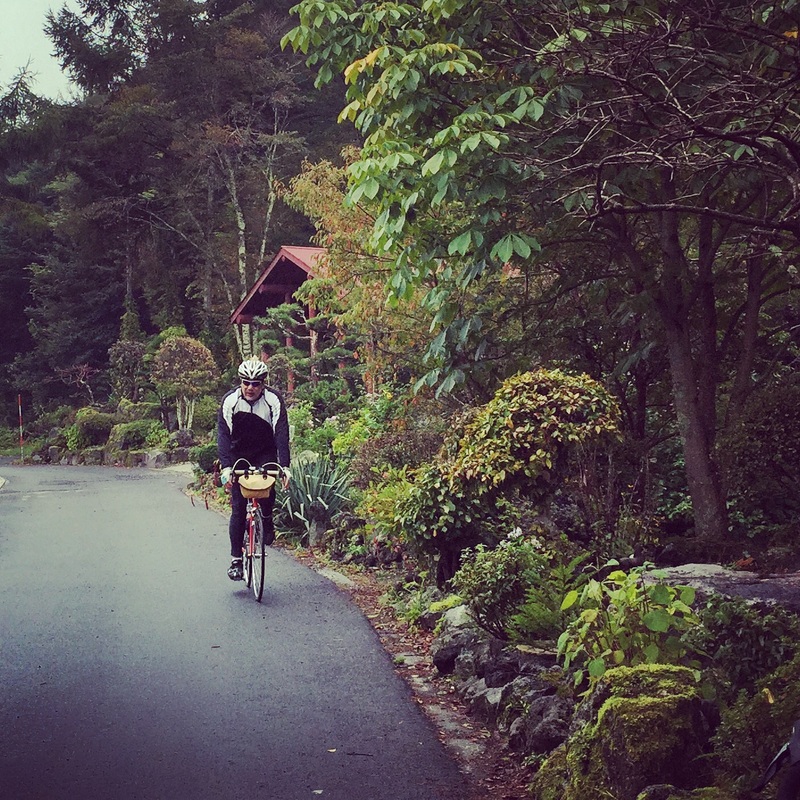
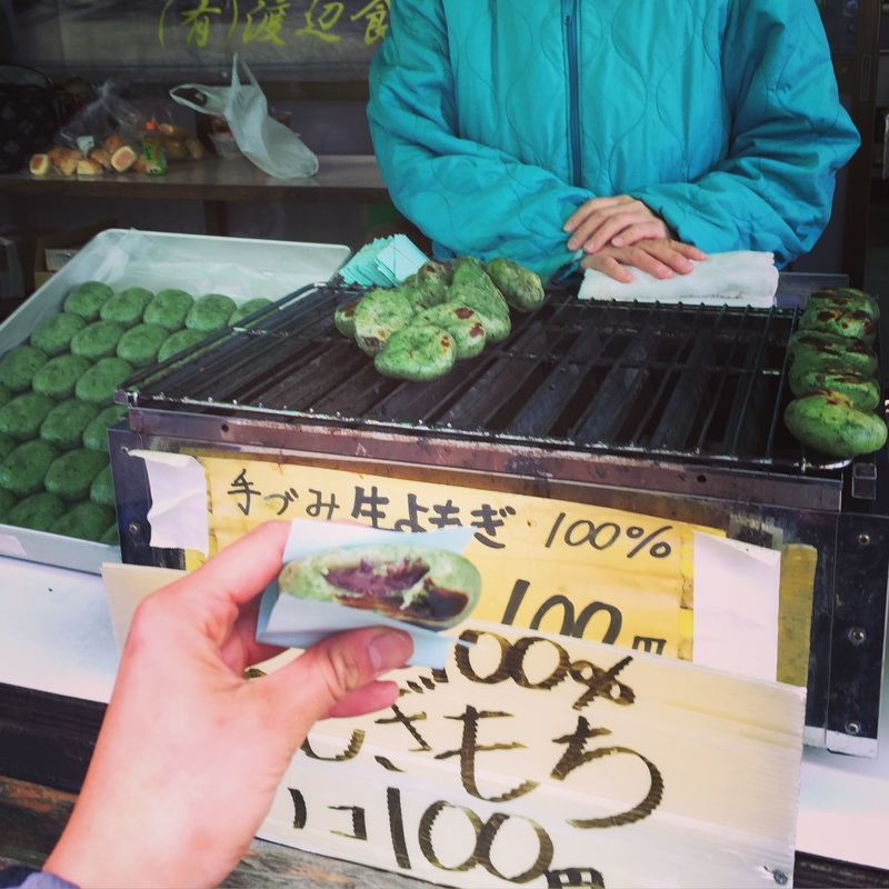
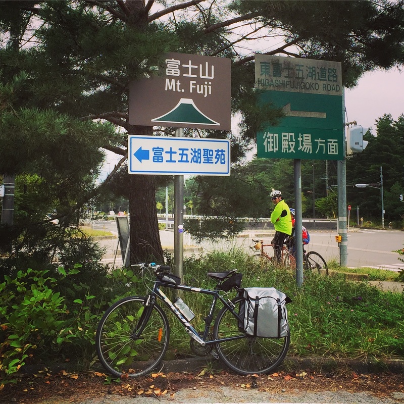
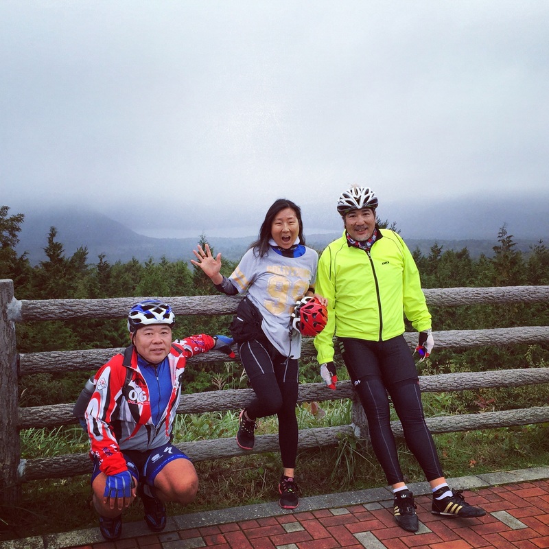
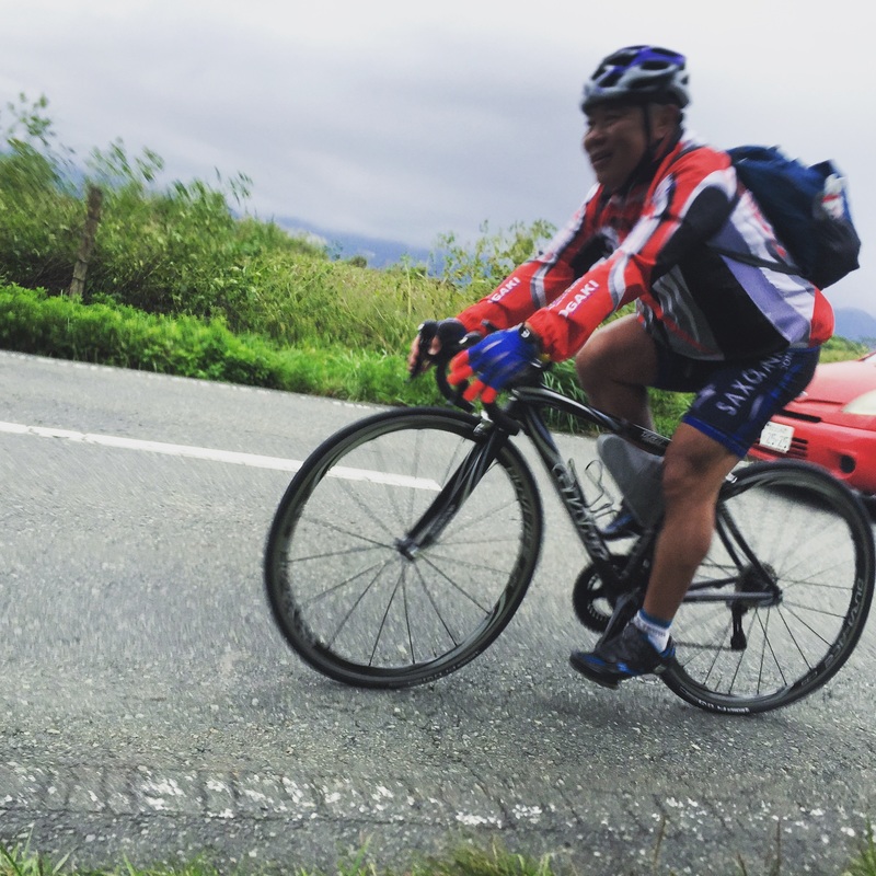
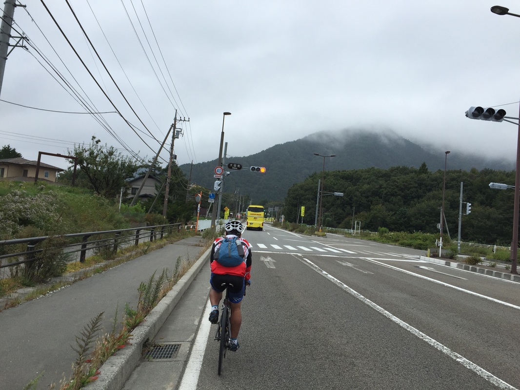
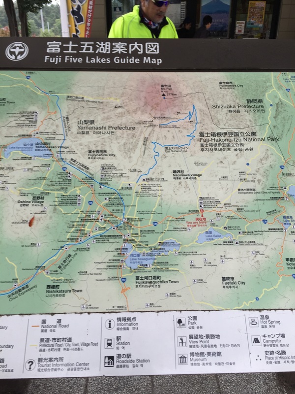
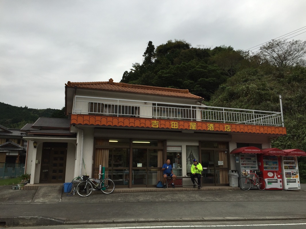
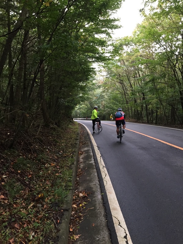
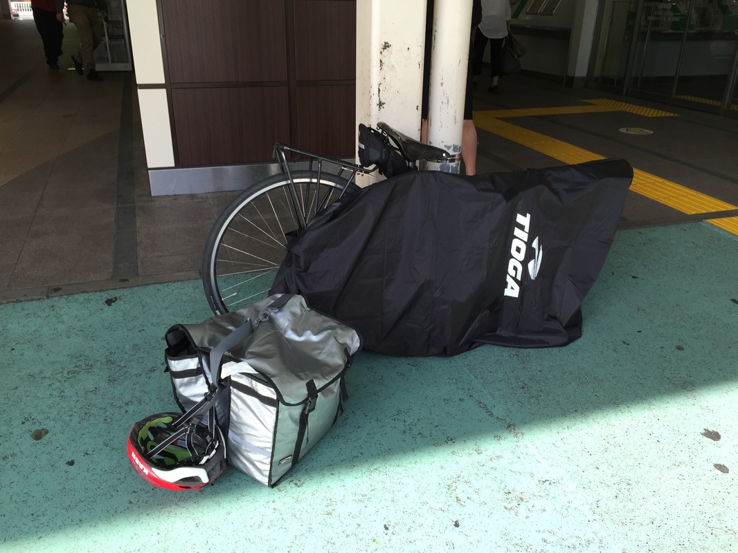
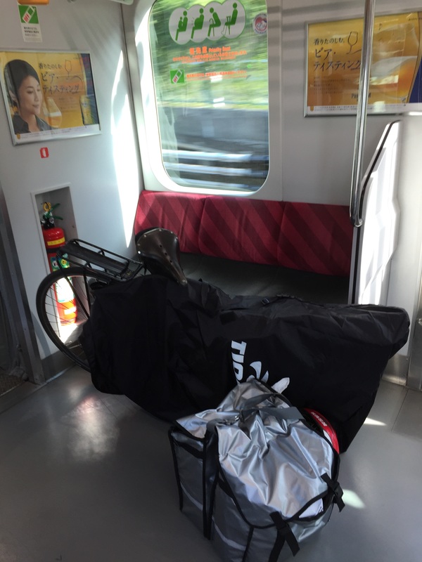
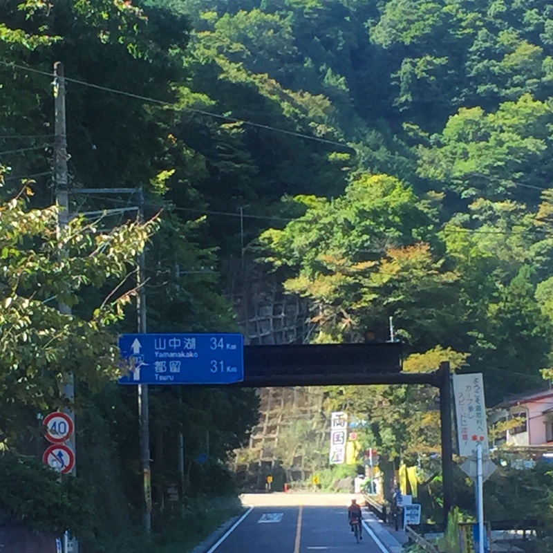
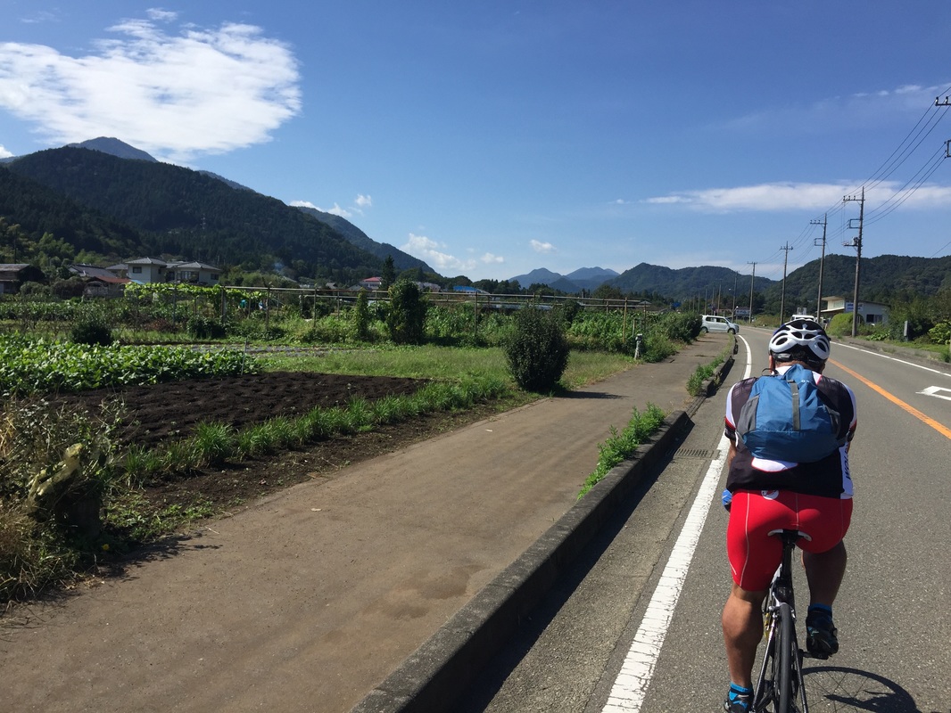
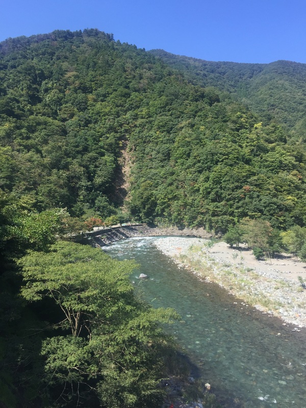
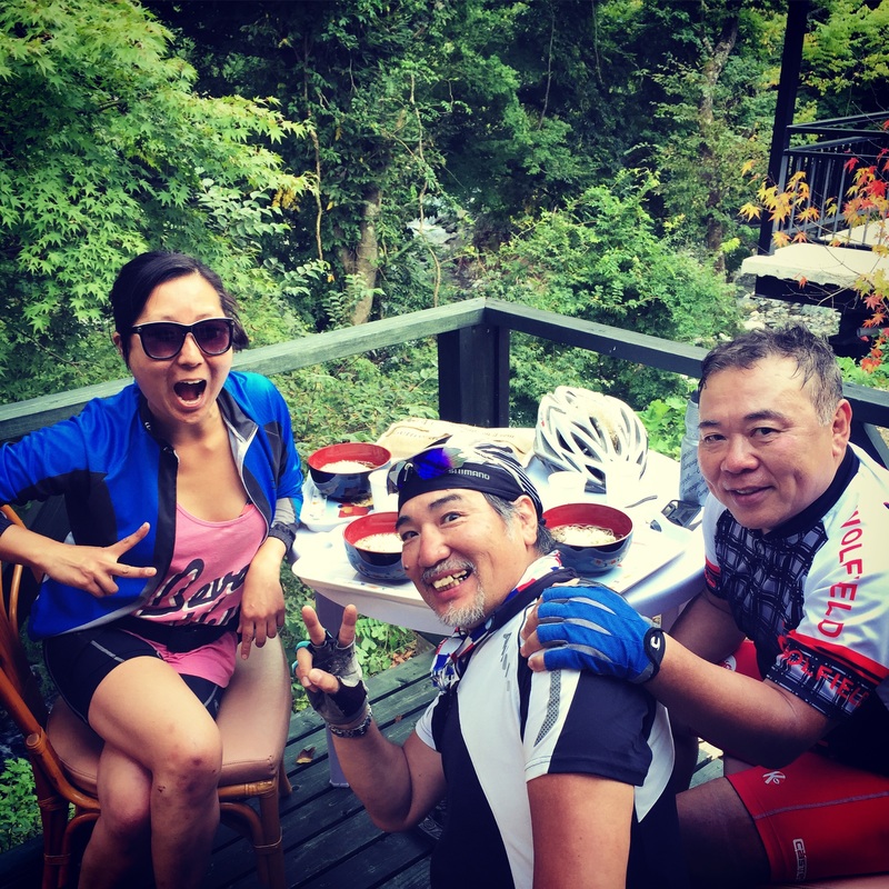
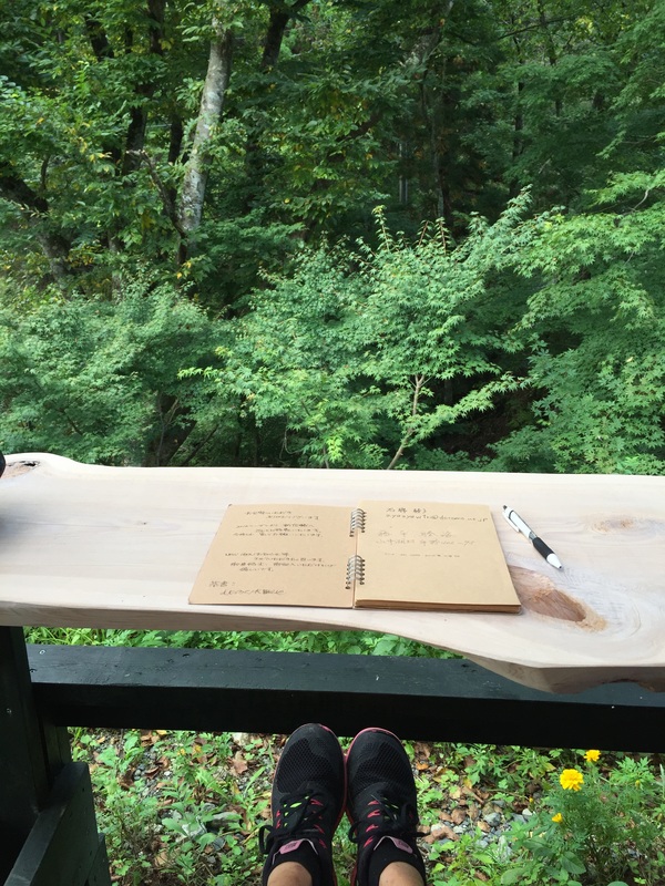
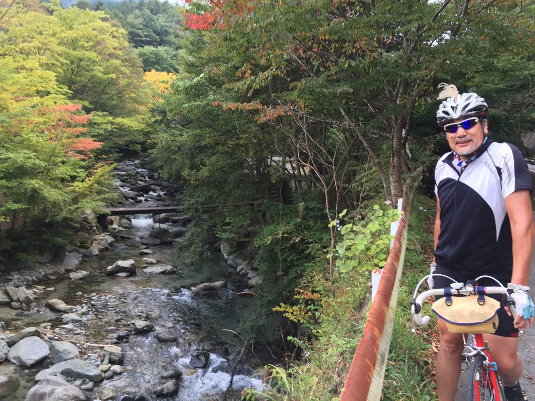
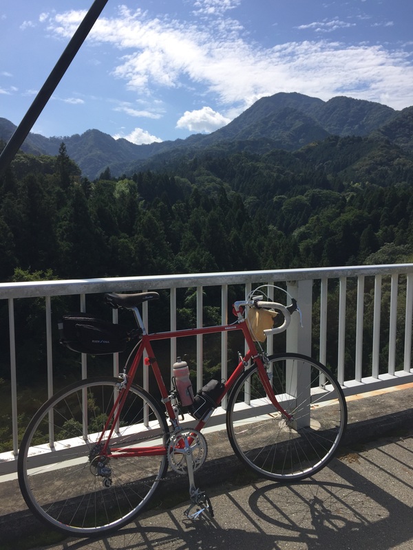
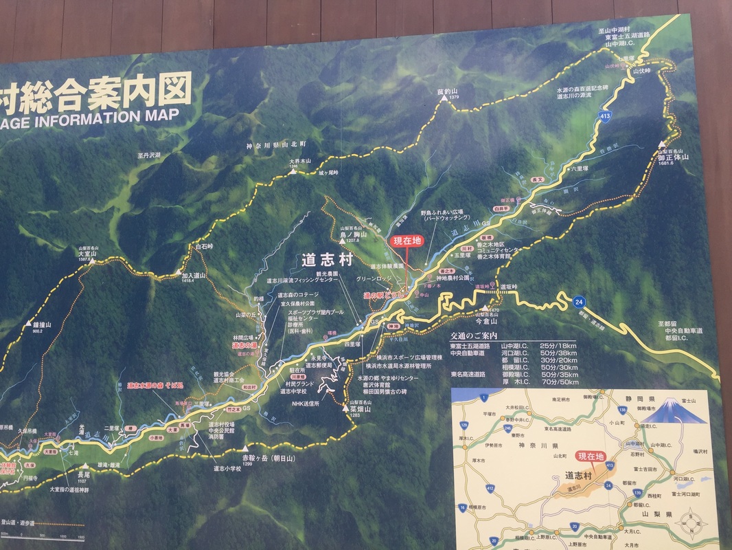
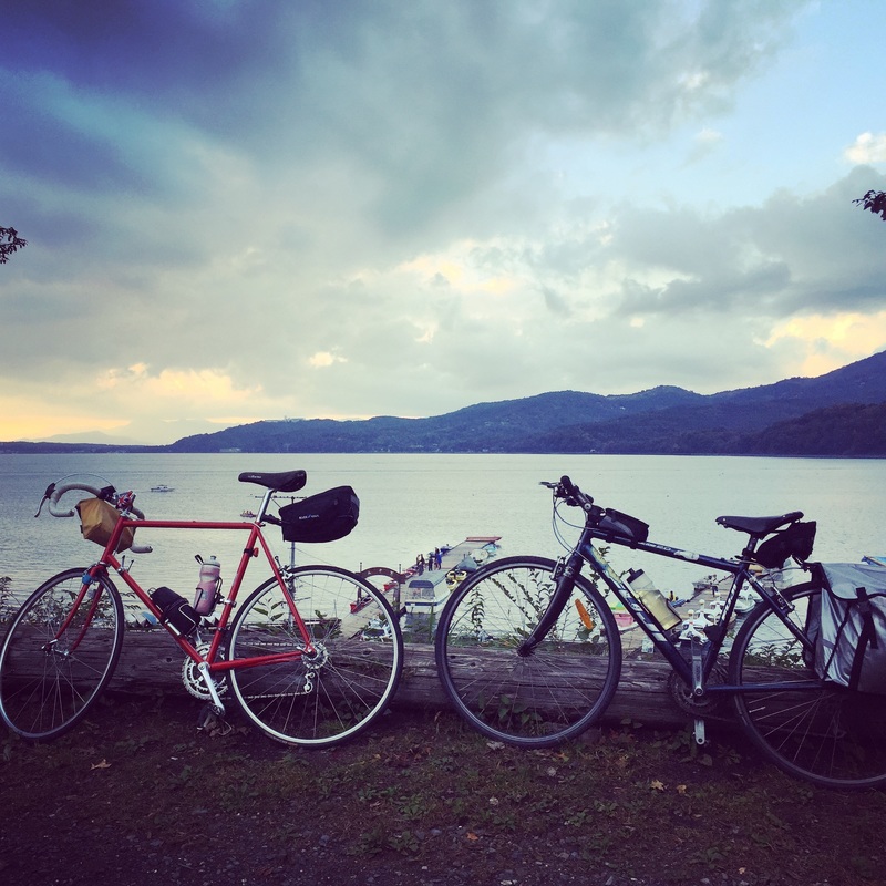
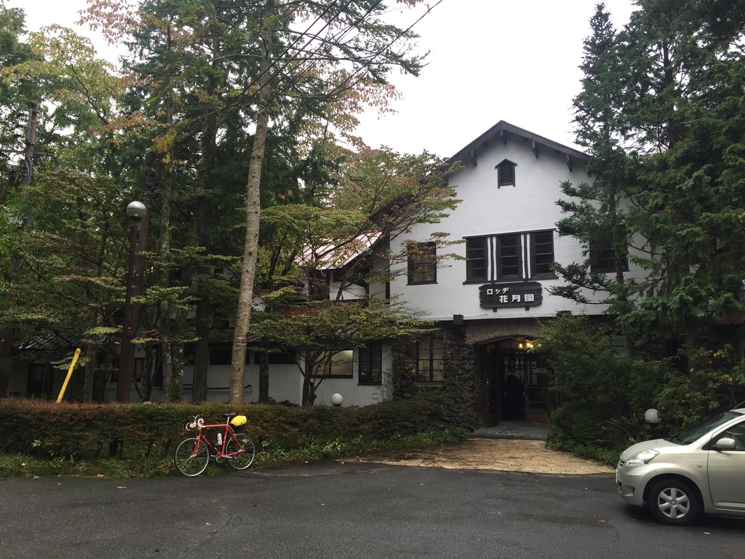
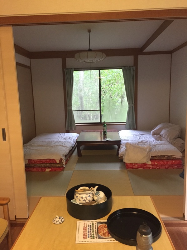
Start: Shimizu Distance: 143.4 kms Strava: https://www.strava.com/activities/407339313 Elevation gain: 1,330 m ( some of this was because I climbed a mountain by accident) Road Type: On Road, cycleway along the coast, detour due to construction beware Sights: Seaside, hill climbs Tips: Try to ask for information when you come across detour signs or construction. The main road might be closed off on the other side and you need to make a detour. Don't find out the hard way by climbing and descending before realising there's no way. End: Hamamatsu (has a Shinkansen stop, biggish town) Accommodation: Last minute hotel booking via booking.com for 5,500 Yen Food: Plenty of small towns and vending machines along the way. Hamamatsu: Not many things open around the city centre. Found a great Udon shop run by a mother and daughter. 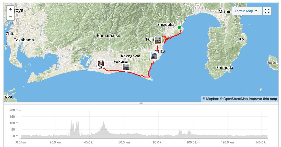 Start: Yamanakako Distance: 99.4 kms Strava: https://www.strava.com/activities/406744640 Elevation gain: 934 m Road Type: On Road, often quiet streets in the mountains, motorbike clubs drive on these roads too, careful off the occasional truck. Sights: Too many. Mountains, river ways, forests, the lake, the valleys Tips: Don't need to carry spare water as there are plenty of vending machines along the way End: Shimizu, port town Accommodation: Last minute hotel booking via booking.com for 5,400 Yen Food: Plenty of stops and vending machines along the way. In Shizumi - Lots of sushi shops because it's close to the sea. Try a local sushi house. 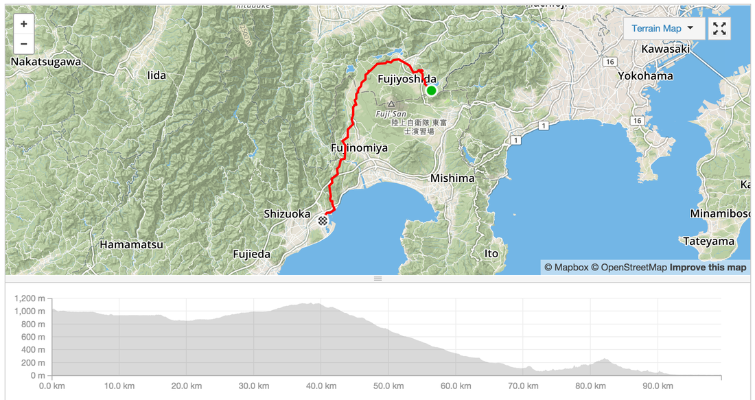 Started the ride just outside of Tokyo to avoid the cars. Take the Keio Train line from Shinjuku to Chofu, change for Hashimoto. You can take your bicycle in the train if it is inside a bike bag. Start: Hashimoto station on the Keio Line, west of Tokyo Distance: 62.4 km Strava: https://www.strava.com/activities/405848428 Elevation gain: 2,285m Road Type: On Road, often quiet streets in the mountains, motorbike clubs drive on these roads too, careful off the occasional truck. Sights: Too many. Mountains, river ways, forests, the lake Tips: Don't need to carry spare water as there are plenty of vending machines along the way End: Yamanako Food: Plenty of stops including a rest stop with udon and a tofu shop. There are restaurants and a massive rest stop in the hills. Best cafe was one nestled near the last climb serving soba and kaki with a bike rack out the front. Accommodation: Cabin in the forest 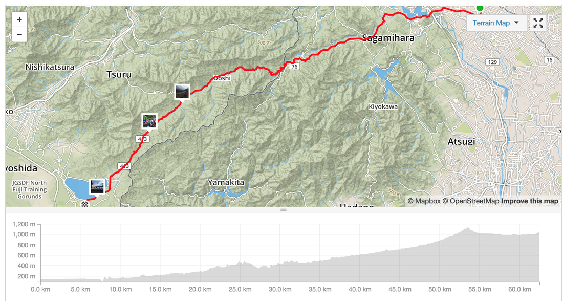 |
Archives
July 2023
Categories
All
|


 RSS Feed