|
I stood on the high line here salivating. Sydney, here is a mega city and even they have managed to go on a road diet. A road diet in NYC looks like a lane for shared bikes, a bicycle lane, pedestrian crossings at each and every leg of the intersection. And signal phases that don't force you to sprint across as soon as the pedestrian light goes green just in case you get stuck a quarter way across and people try to run you over. 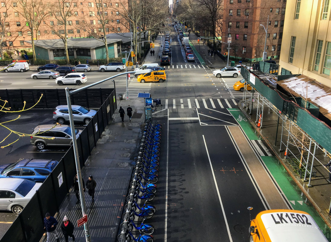
0 Comments
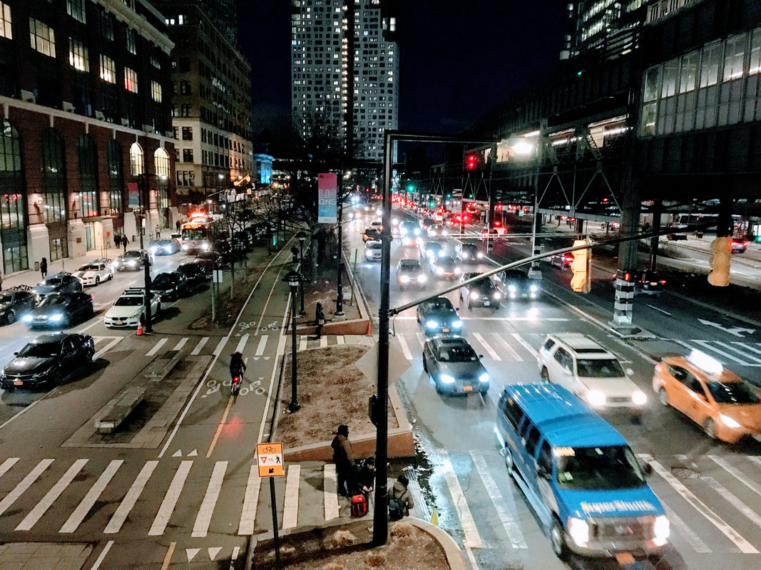
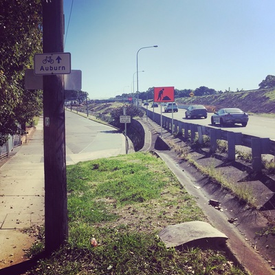
I was on my way to meet my friend in Brooklyn and what do I see when I walk out of the subway station, walking along the pedestrian overpass, over 8 lanes of traffic? A beautiful separated bi directional cycleway and footpath running down the middle of the chaos buffered nicely by trees and parked cars.
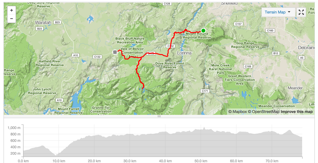
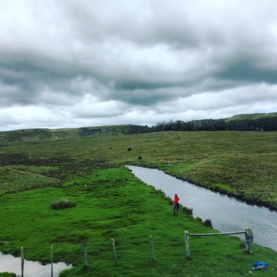
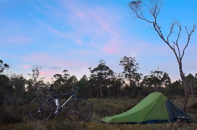
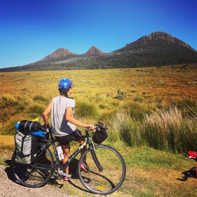
Day 5 - Cradle MountainDistance: 78.5 kms Elevation: 2,112 m Accommodation: Side of the road in massive open fields in Belvoir Shops: No shops. Cafe at Cradle Mountain. Small shop at a caravan park near Cradle Water: No water at Cradle Mountain. Water at Belvoir (but didn't look too clean) Strava: https://www.strava.com/activities/457690542 Highlights:
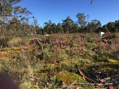
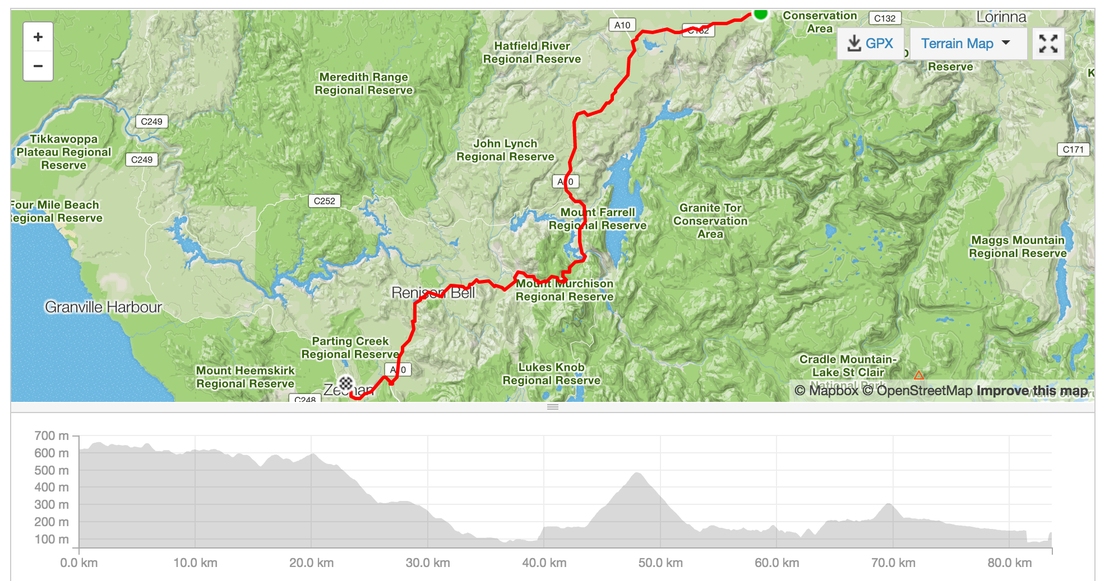
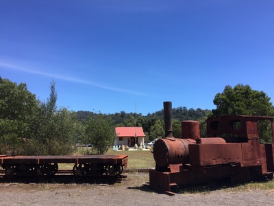
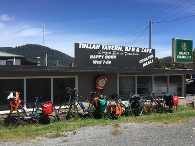
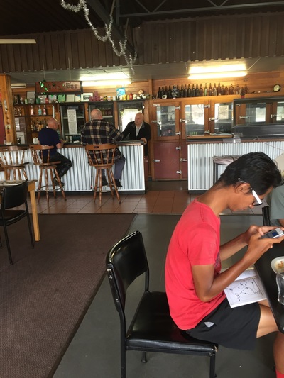
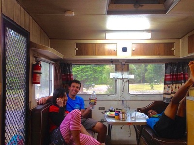
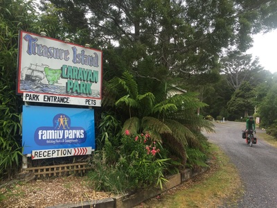
Warning: It's cold in the mountains and at night. 4 degrees. Bring thermals. Day 6 - Belvoir - ZeehanRoute: Belvoir, Tullah, Roseberry Distance: 83.6 km Elevation: 1,280 m Lunch: Pub/Cafe in Tullah with sandwiches and burgers Food: IGA at Roseberry, IGA at Zeehan, Pub (not recommended) Accommodation: Treasure Island Caravan park at Zeehan Strava: https://www.strava.com/activities/457771928 Highlights:
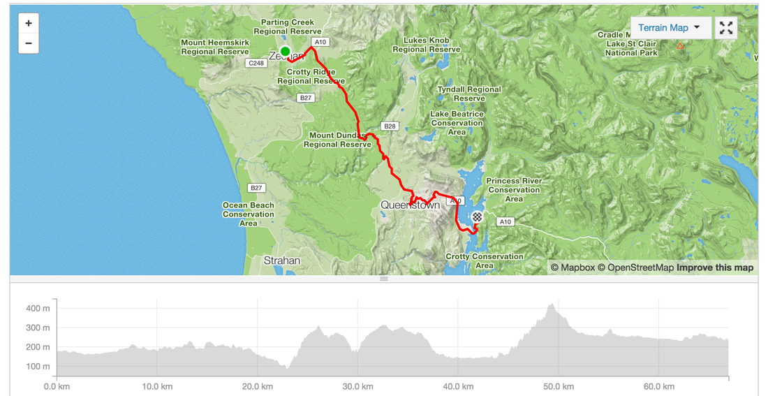
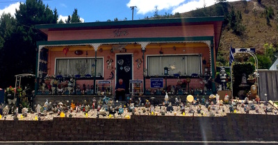
Warning: Zeehan looks rough but the caravan park people are very friendly Day 7 - Zeehan - Queenstown - Lake BurburyDistance: 66.9 kms Elevation: 1,157m Strava: https://www.strava.com/activities/459154774 Shops: In Queenstown plenty of pubs, cafes, bakeries, IGAs, second store Accommodation: Lake Buubury Camping Highlights:
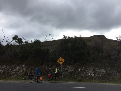
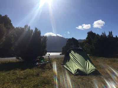
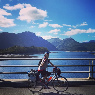
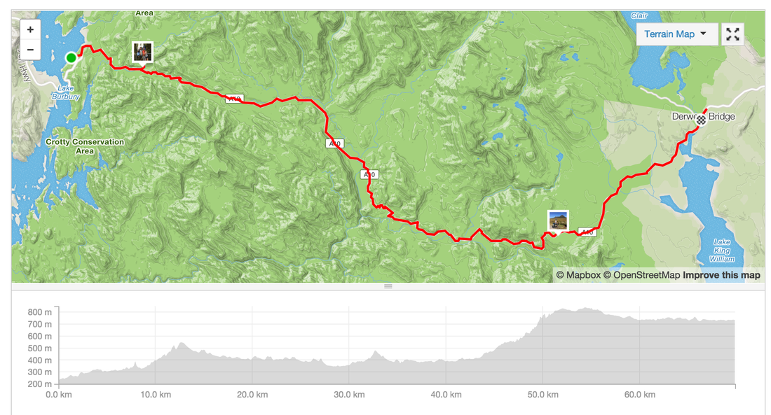
Day 8 - Lake Burbury - Derwent Birdge - Lake St ClairDistance: 69.8 kms Elevation: 1,663m Shops: Grocery Shop at Derwent bridge closes at 6pm (yep we missed it). Massive pub with grub (pircey) Accommodation: Free camping (with National Park entry) inside the park along the walking trail, no shower facilities, water at the cafe, toilet is a dunny Strava: https://www.strava.com/activities/459145891 Highlights:
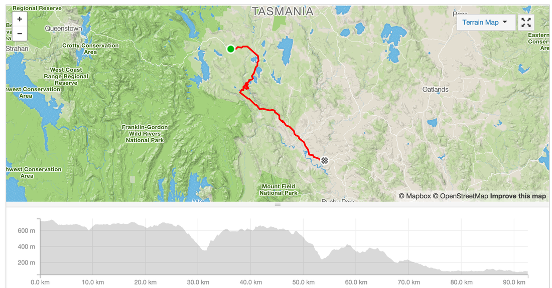
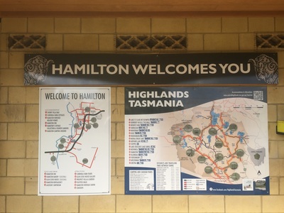
Day 9 - St Clair - HamilitonIt's all downhill from now (kinda). Riding in 40 degree heats on the last day of 2015. I felt deserved a tub of ice-cream. Distance: 92.6 kms Elevation: 1,247 m Shops: IGA at Ouse, no facilities at Accommodation: Camping in Hamilton (coin operated showers) great facilities Strava: https://www.strava.com/activities/460412783 Warning: No shops in Hamilton. IGA in Ouse for supplies (groceries and a pub) Highlights:
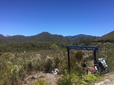
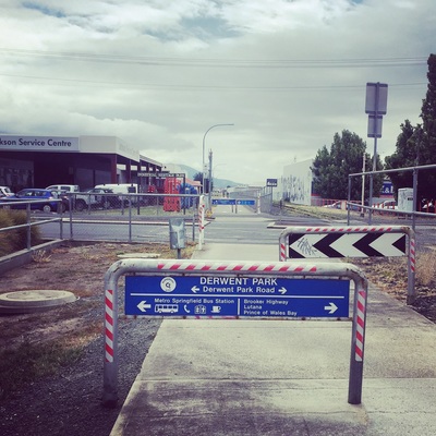
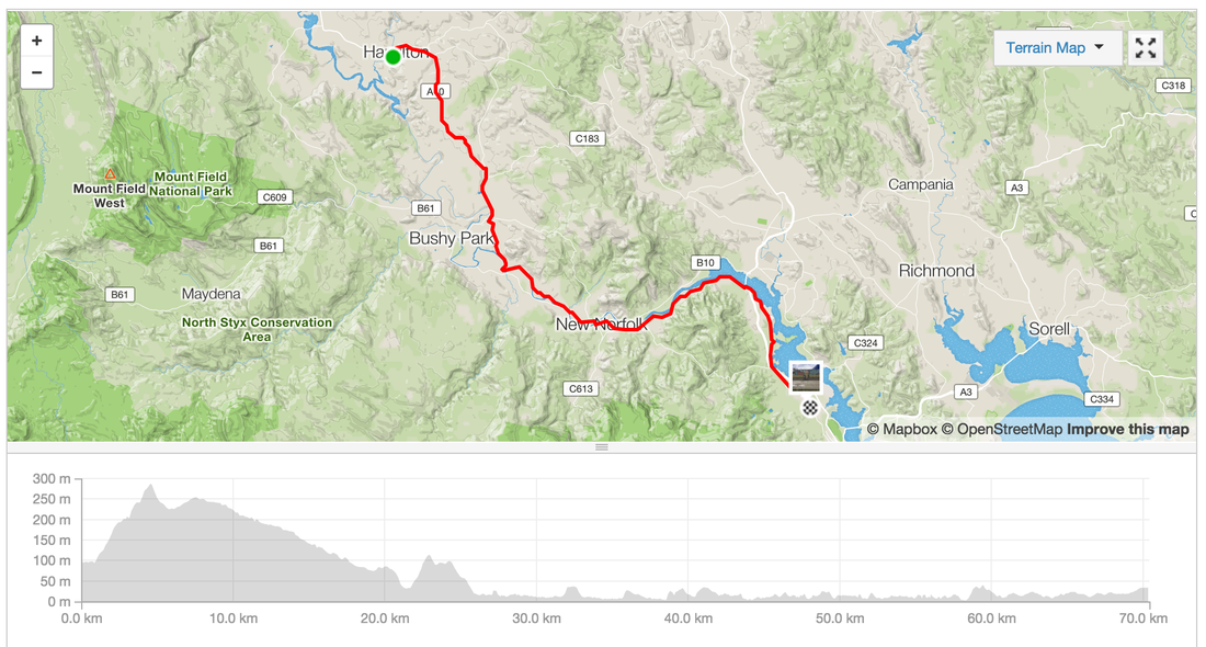
Day 10 - Hamilton - HobartDistance: 70.4 kms Elevation: 614 m Shops: New Norfolk shopping centre Accommodation: Springvale hostel, New Town (boarding house converted to hostel during holidays) Warning: Winds! Strava link Highlights:
Start: Osaka
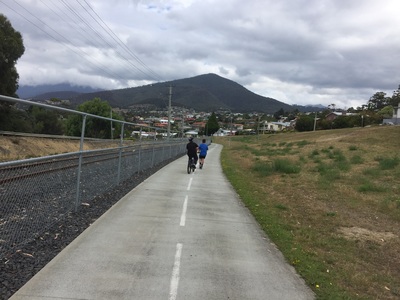
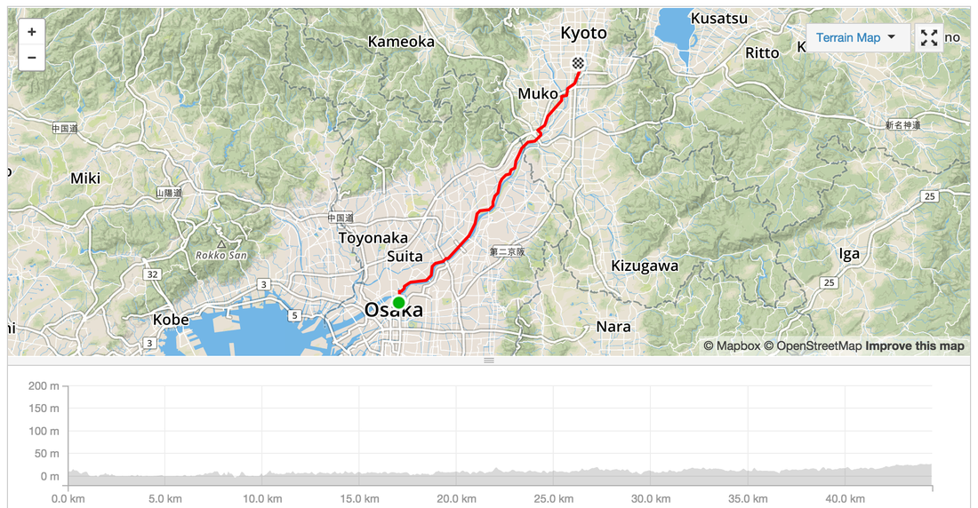
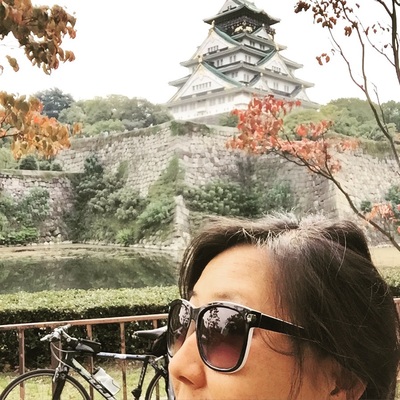
Distance: 44.4 kms Strava: https://www.strava.com/activities/409302506 Elevation gain: 107 m Road Type: Cycleway along the river, but with annoying stops to walk over car blocking hurdles Sights: Riverway, people fishing, other bike riders racing/training. Osaka Jo. Tips: Drink and Toilet stations along the way. End: Kyoto Accommodation: With friends Food: Bring your own, shops aren't guaranteed to be open Start: Hamamatsu
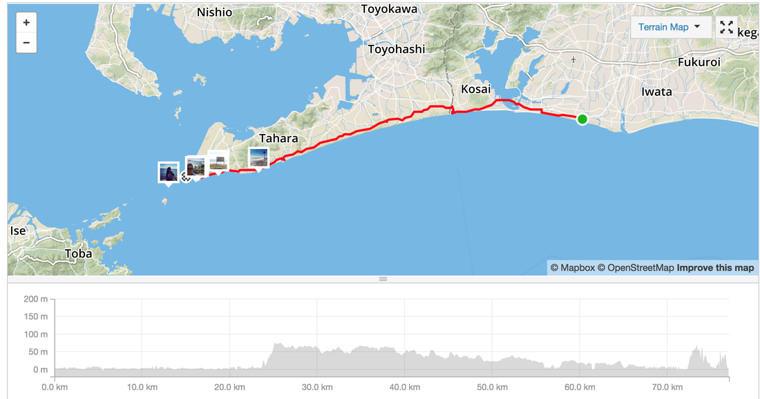
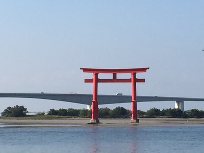
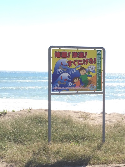
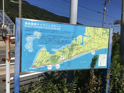
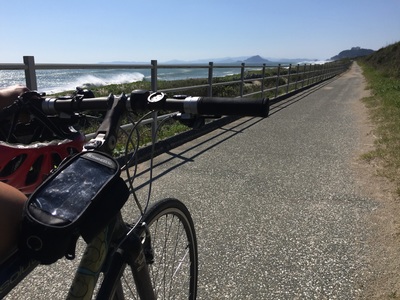
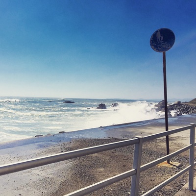
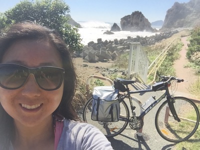
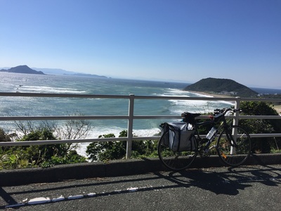
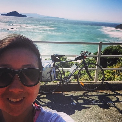
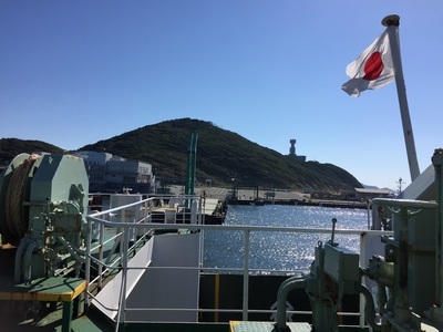
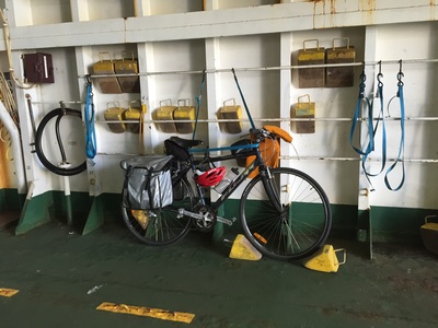
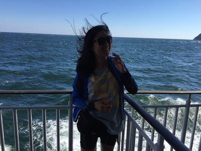
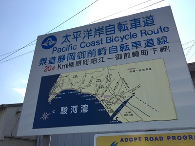
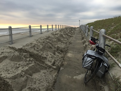
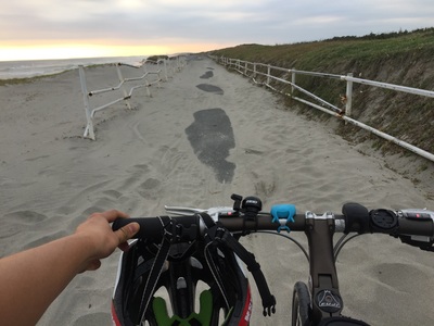
Distance: 77 kms Strava: https://www.strava.com/activities/407915037 Elevation gain: 630 m Road Type: On Road, some busy roads with trucks and cars Sights: The crazy Pacific coast waves Tips: Look for the signs to the Pacific Coast cycleway, it weaves on and off along the sea side. Some of it looked too scary for me to ride. WINDY! It's was very very windy. I was in constant battle against the winds and losing motivaation. End: Irago, Ferry Port. Catch a ferry to Toba. Ride onto Ise Accommodation: Last minute hotel booking via booking.com for 2,500 at Ise Food: Last 20 kms not much food options. There is a rest stop at Irago. Try to catch some food at the Beach cafe. Start: Shimizu
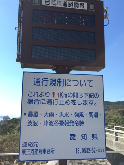
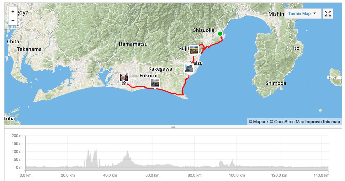
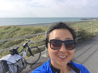
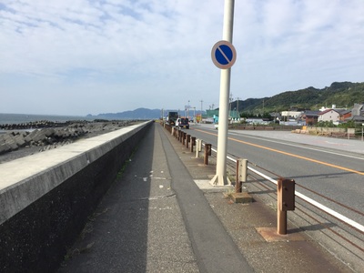
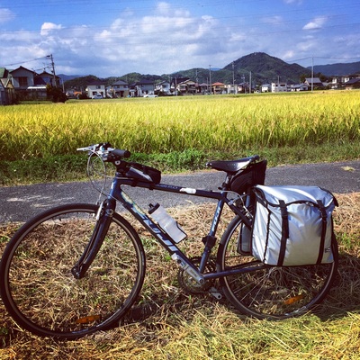
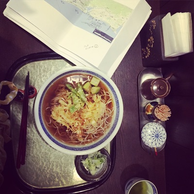
Distance: 143.4 kms Strava: https://www.strava.com/activities/407339313 Elevation gain: 1,330 m ( some of this was because I climbed a mountain by accident) Road Type: On Road, cycleway along the coast, detour due to construction beware Sights: Seaside, hill climbs Tips: Try to ask for information when you come across detour signs or construction. The main road might be closed off on the other side and you need to make a detour. Don't find out the hard way by climbing and descending before realising there's no way. End: Hamamatsu (has a Shinkansen stop, biggish town) Accommodation: Last minute hotel booking via booking.com for 5,500 Yen Food: Plenty of small towns and vending machines along the way. Hamamatsu: Not many things open around the city centre. Found a great Udon shop run by a mother and daughter. I managed to get two friends who aren't strong cyclists to ride 50 kms with ease.
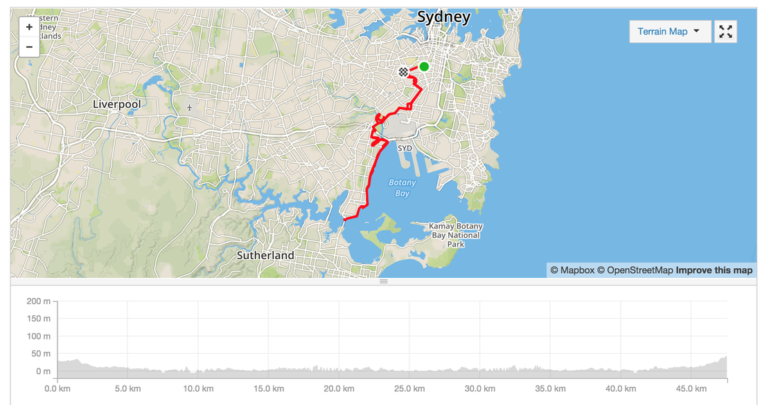
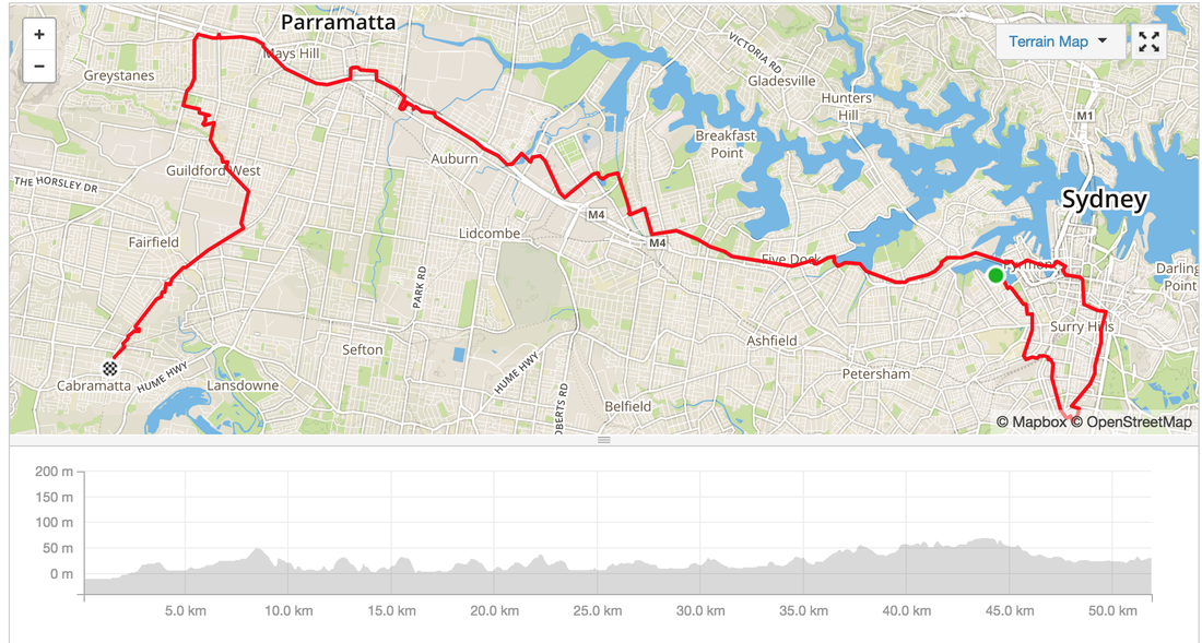
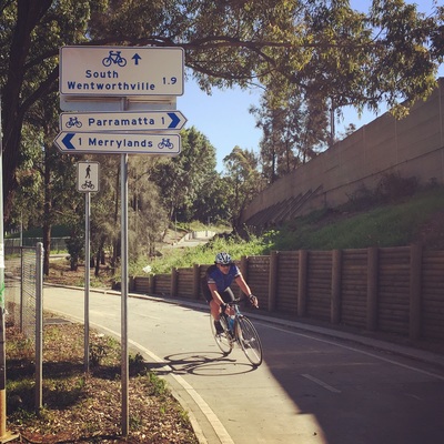
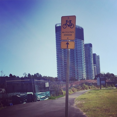
All along cycleways and flat. This ride is suitable for beginners. Suburbs: Redfern, Erskineville, Mascot, Tempe, Kyeemagh, Brighton-le-sands, Sans Souci, Ramsgate bridge, Dolls Point Distance: 50 Kms return Time: 3 hours Path: Mostly cycleways, bike friendly roads in Erskineville Hills: Not really, pretty flat View: Asian veggie market, Eastern Beaches Facilities: Public Toilets, all along the Eastern beaches Max Elevation: 41m Suitable for: Beginners Strava Link: https://www.strava.com/activities/395902355 MapMyRide link: http://www.mapmyride.com/routes/view/862526793 The M4 Cycleway is surprisingly very well signposted, even with the detours the diversions signs were everywhere. The best part of this ride is the destination. Cabramatta, home of the best Vietnamese food.
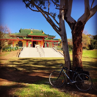
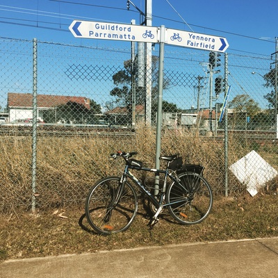
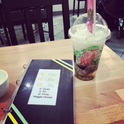
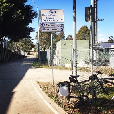
Distance: 50kms Route: Glebe - Zetland - Sydney City - Lilyfield - Haberfield - Olympic Park - Auburn - Harris Park - Wentworthville - Fairfield - Cabramatta Path: Mostly Cycleways, separated paths, some bike friendly roads in the city Hills: Only a few with small gradients Strava: link Sights: Buddhist temple near Cabramatta station along the cycle way Treats: Cabramatta offers the best selection of Vietnamese food, check out this blog for a map. Also because of the strong Buddhist culture there are several vegan/vegetarian Vietnamese restaurants as well. Must try: 3 colour bean drink (Che Ba Mau) Distance: 40 kms
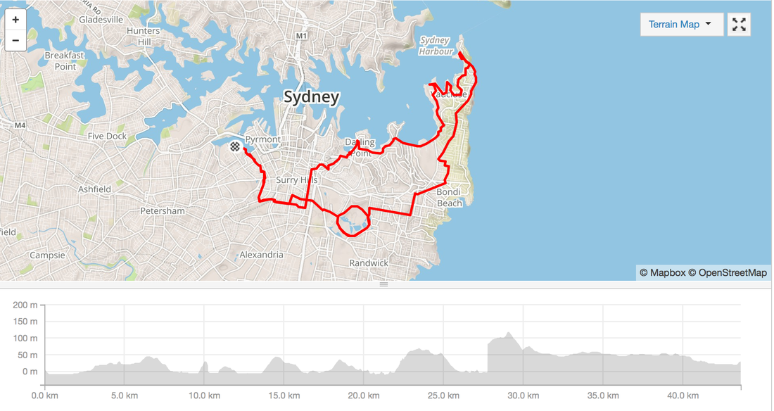
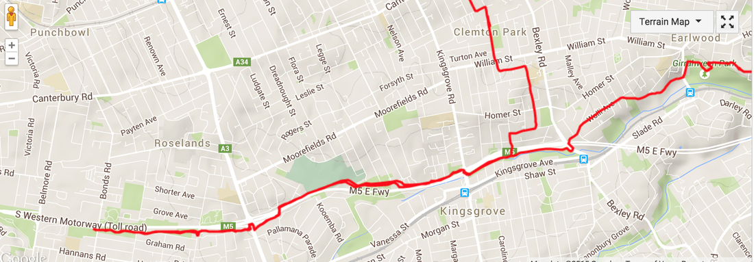
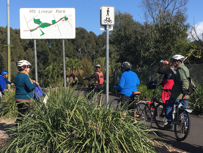
Location: Glebe, Redfern, Rushcutters bay, Double Bay, Nielson Bay, Watson Bay, Dover Heights, Bondi, Centennial Park Difficulty: A few steep inclines, heartbreak hill isn't steep but a bit long Surface: Road, a few stairs Highlights: Amazing views of Sydney Harbour, lots of beaches, spectacular display of Sydney's most expensive houses. Facilities: Cafes, public toilets, water fountains along the way Strava route details: http://www.strava.com/activities/359151700 Amazing discovery today. Bike path along one of the nastiest Motorways in Sydney, the M5.
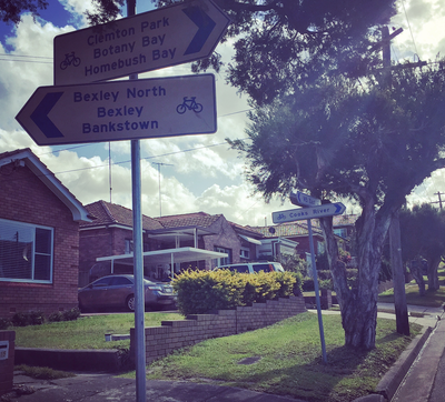
Well insulated from the noise with a large embankment it's very safe to ride. Suburbs: Earlwood, Bardwell Valley, Kingsgrove, Beverly Hills, Riverwood Distance: 20 kilometres Road Type: Road, Bike path, some parts are a bit uprooted Difficulty: Only a few hills mostly riding on the bike path. Highlights: 1960s Australian Architecture, single story brick, carports Facilities: Don't remember seeing public toilets Strava: Activity here Related websites: http://www.canterbury.nsw.gov.au/Discover/Parks-sporting-community-facilities/Cycling-Walking-Tracks/Cycle-way-to-Botany-Bay |
Archives
July 2023
Categories
All
|




 RSS Feed