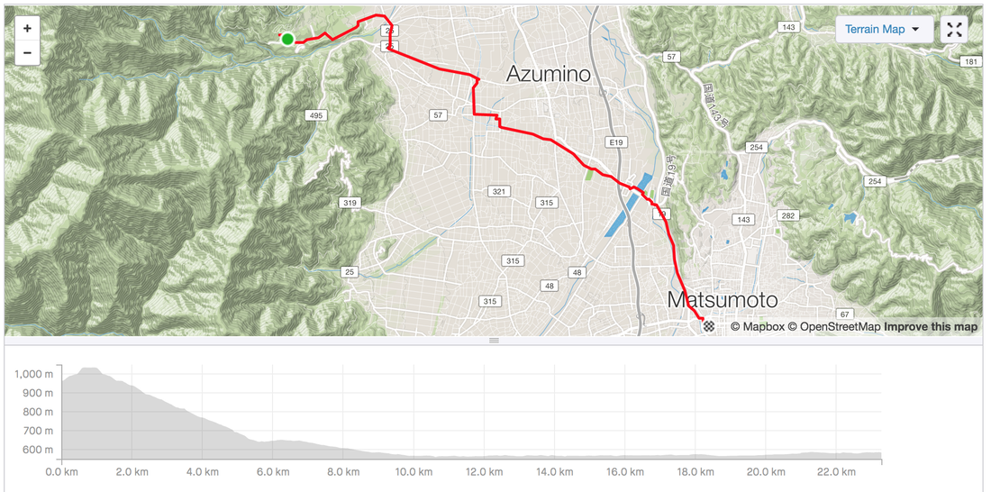
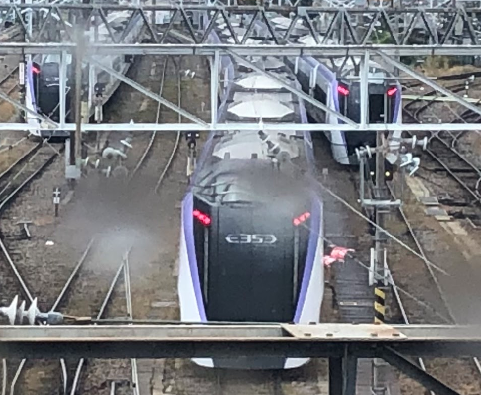
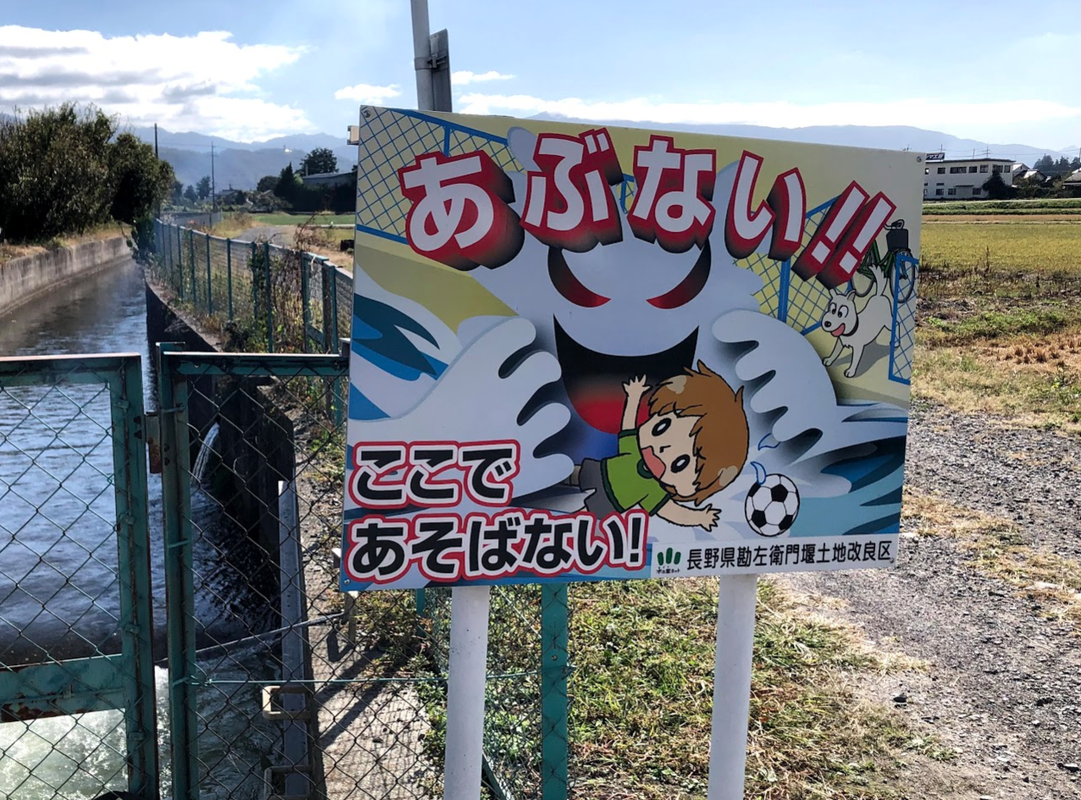
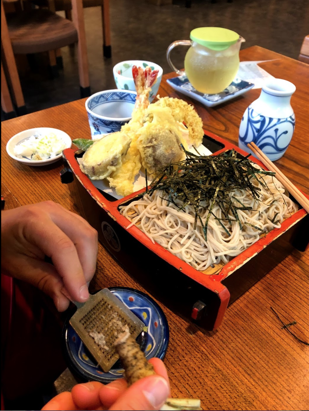
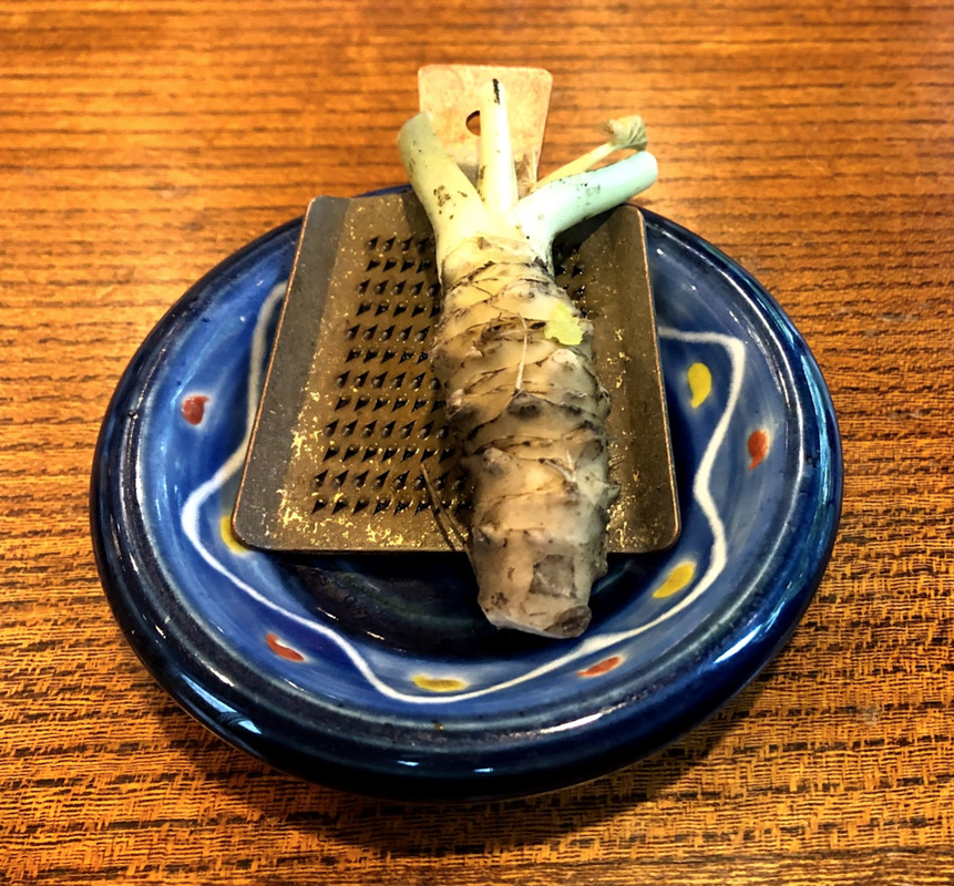
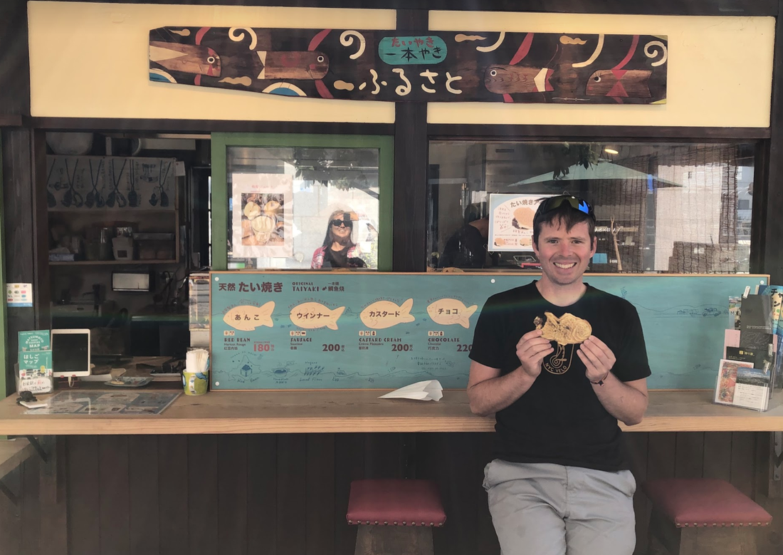
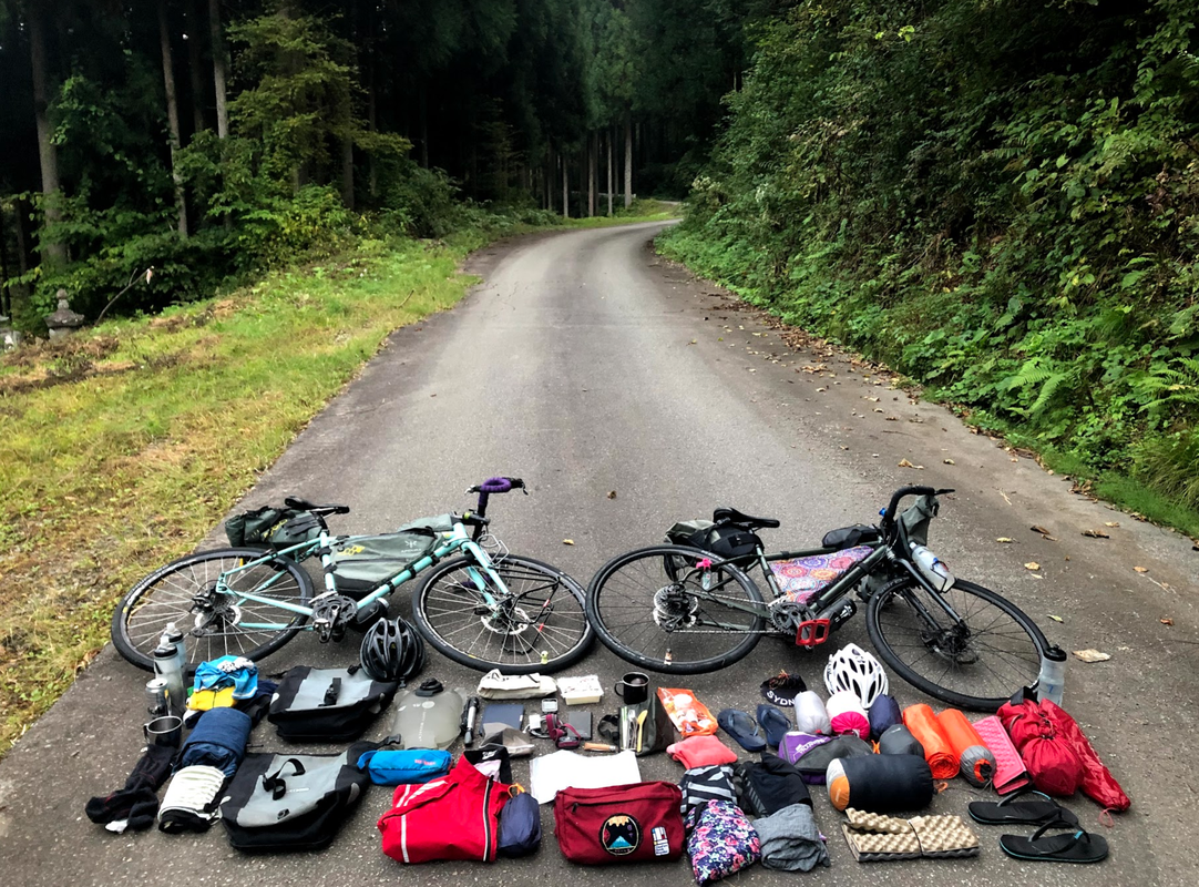
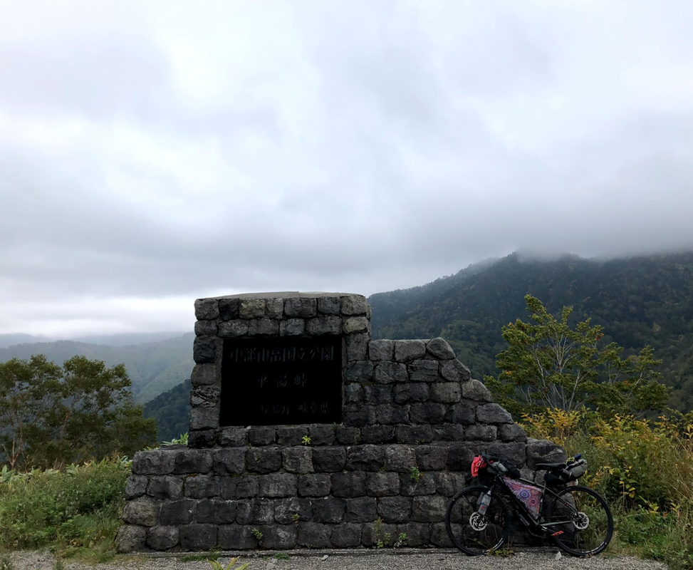
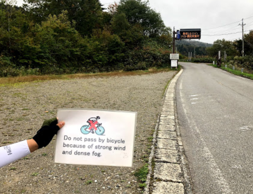
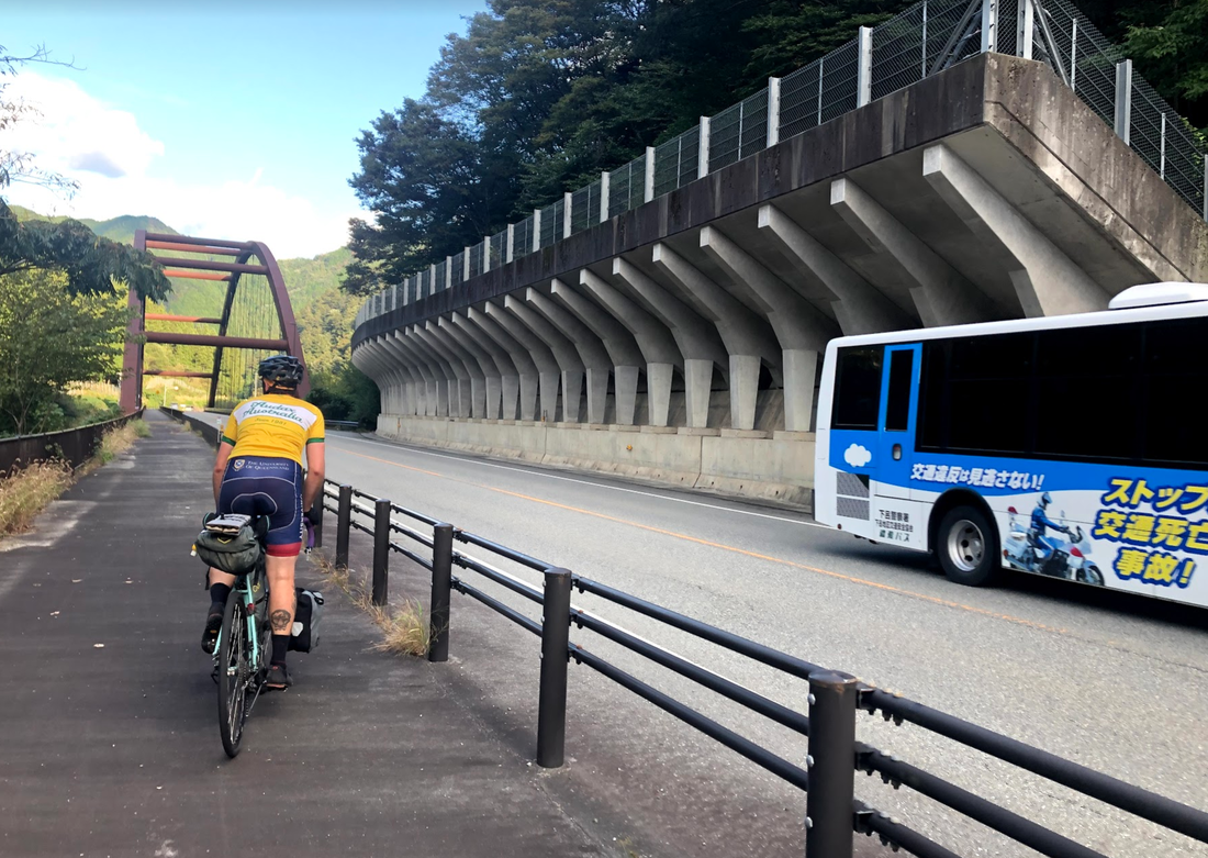
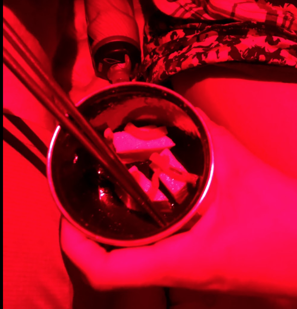
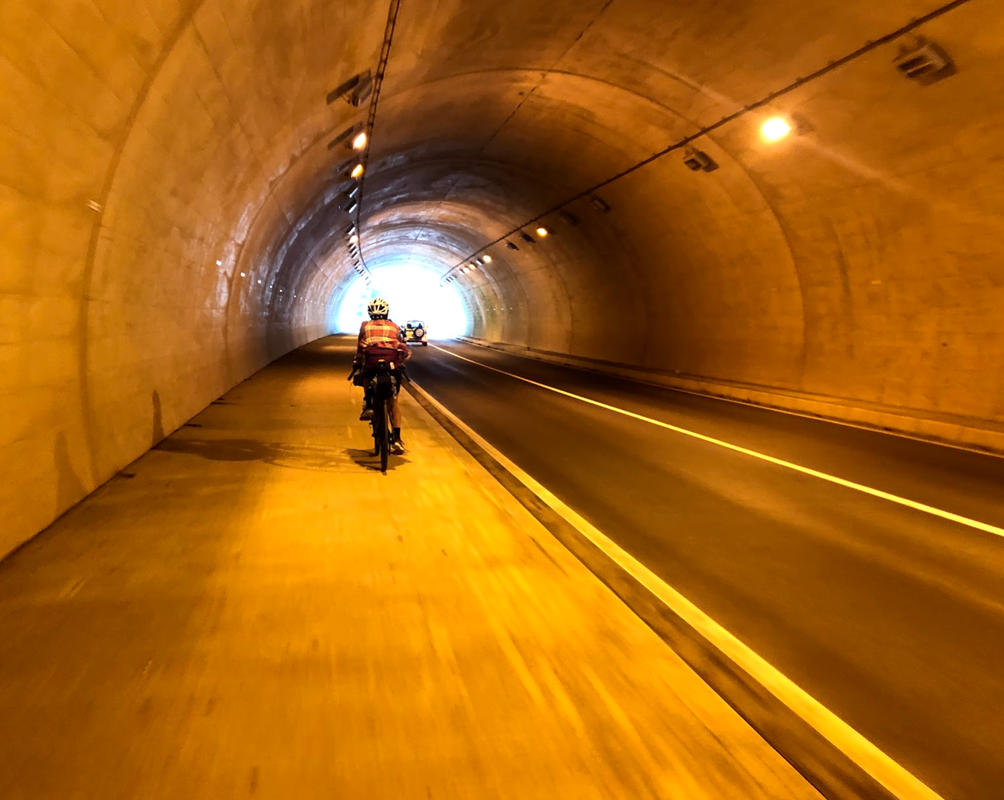
 Scramble pedestrian crossings and plenty of time to cross and take photos and cross over again. 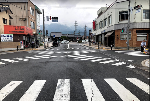 Bad ass trains, signs and warnings to let you know there's no chance to get beers or onigiri on the platform! Wedding spotting success. Caught this cute couple on their photo shoot 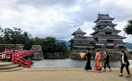 Matsumoto is famous for its soba (buckwheat noodles). Eaten like professionals in the restaurant next to the temple with fresh wasabi (grated ourselves) and the crispiest tempura. Then my favourite taiyaki (fishy red bean waffles). After a blissful night stealth camping next to a shrine we carb loaded on more tofu and onigiri for our Norikura climb. Unfortunately the climb was not to be. Heavy fog and winds prevented us from climbing up. Start: Takayama End: Matsumoto Strava link: part 1 and part 2 Distance: 87 kms Elevation: 3,591 m 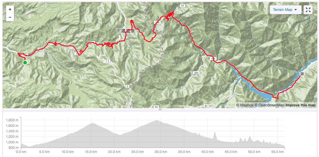  Being told we couldn't climb Mount Norikura was tough. Especially when the alternative mean a main road with tunnels without cycling provision. 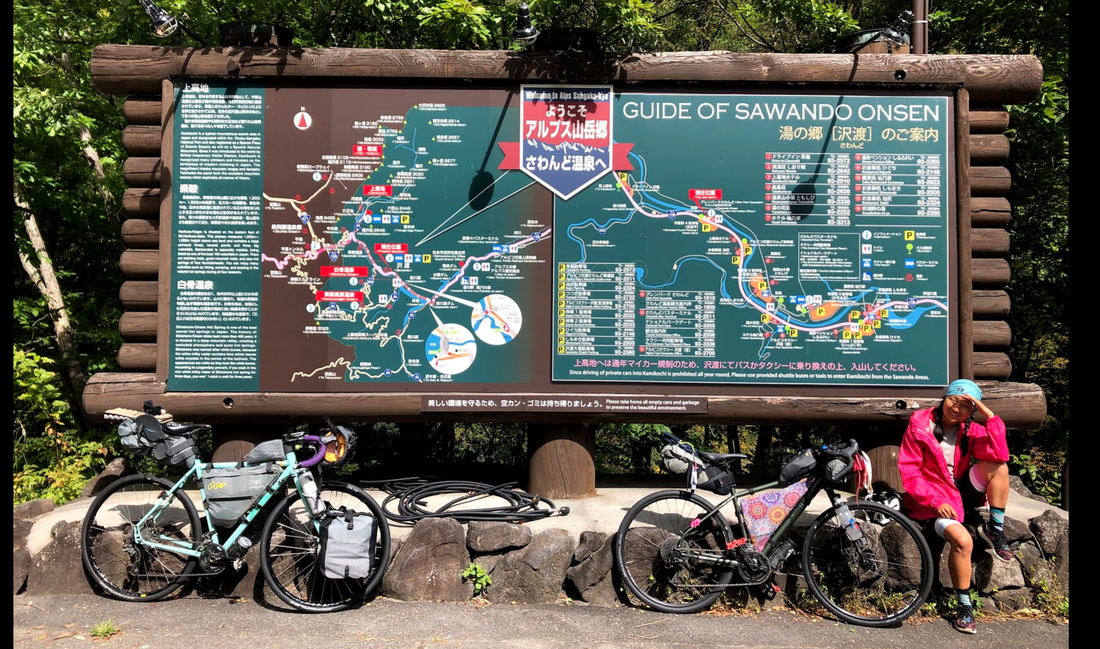 After a tough day of climbing, speeding through tunnels and never ending climbs, arriving at this gorgeous mountain hut with our own onsen was special.
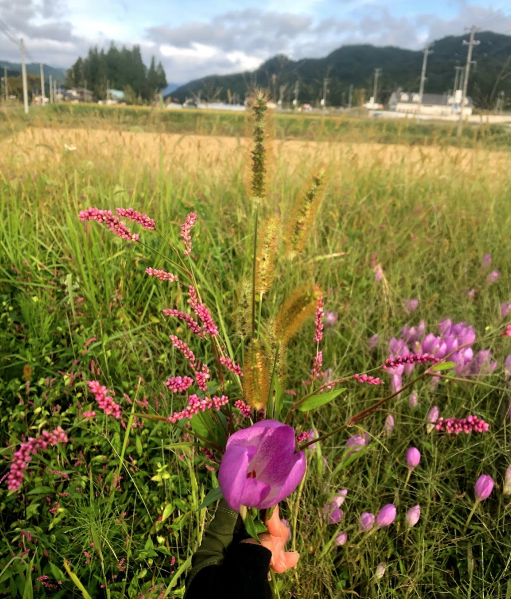
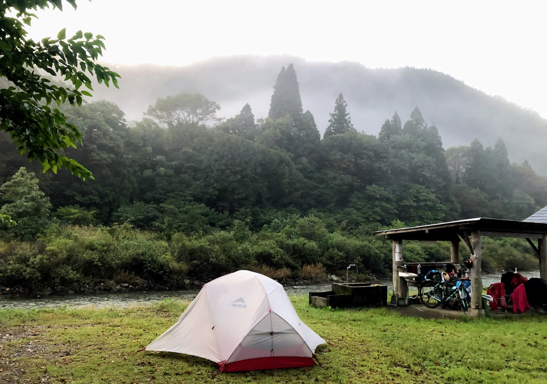
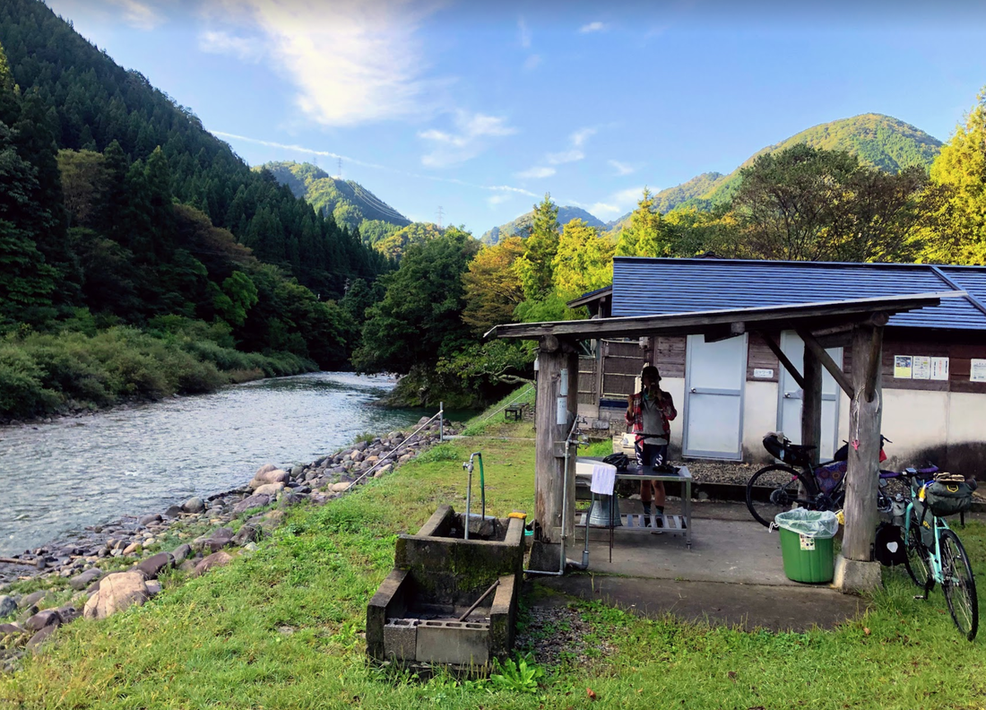
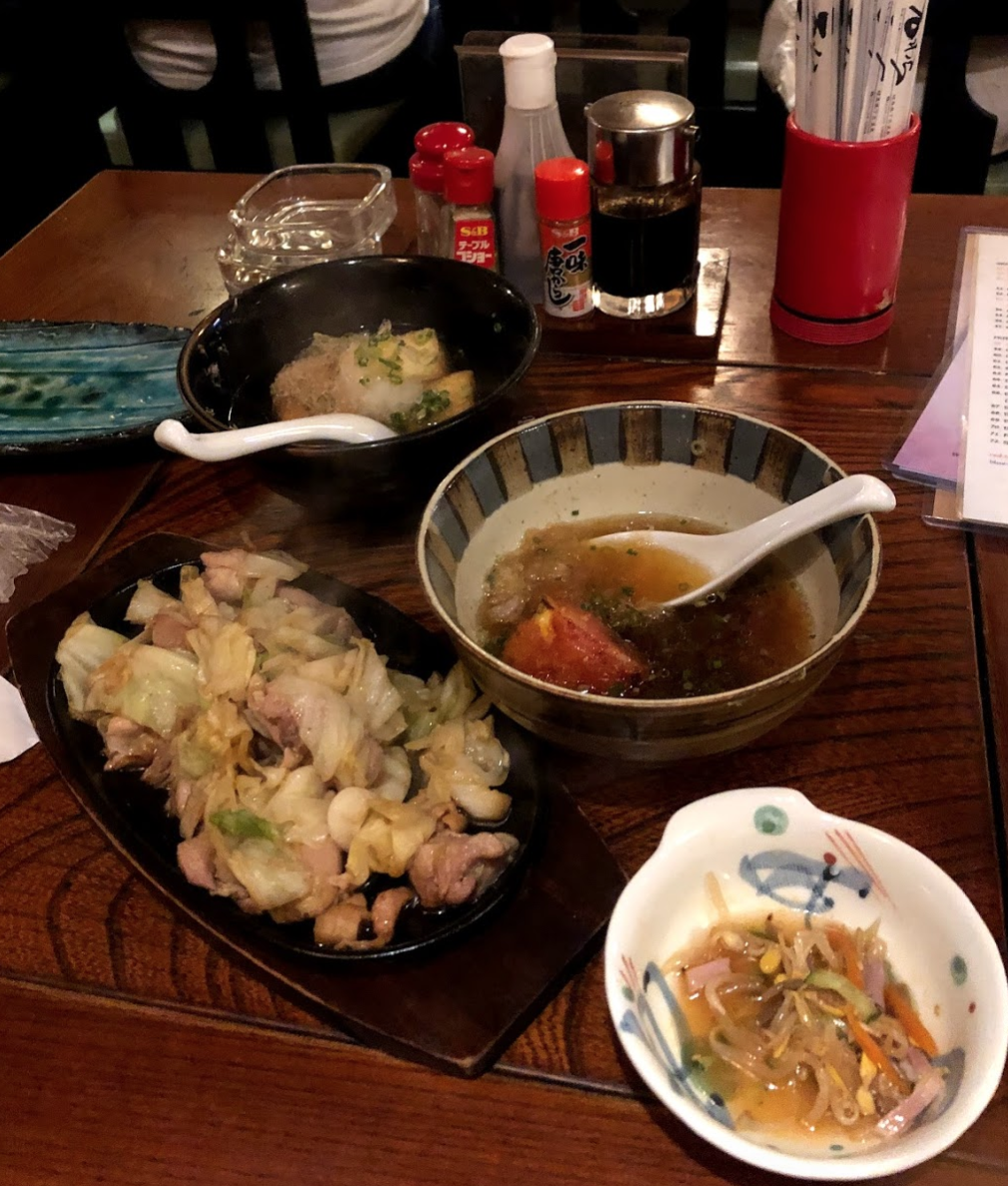
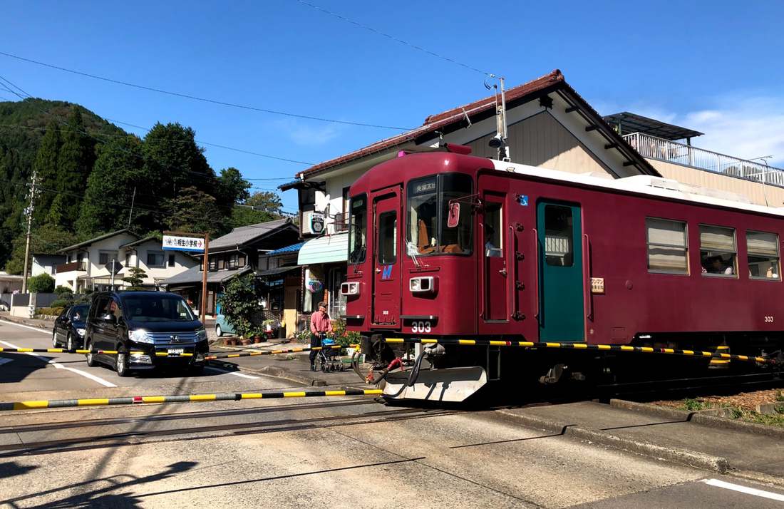
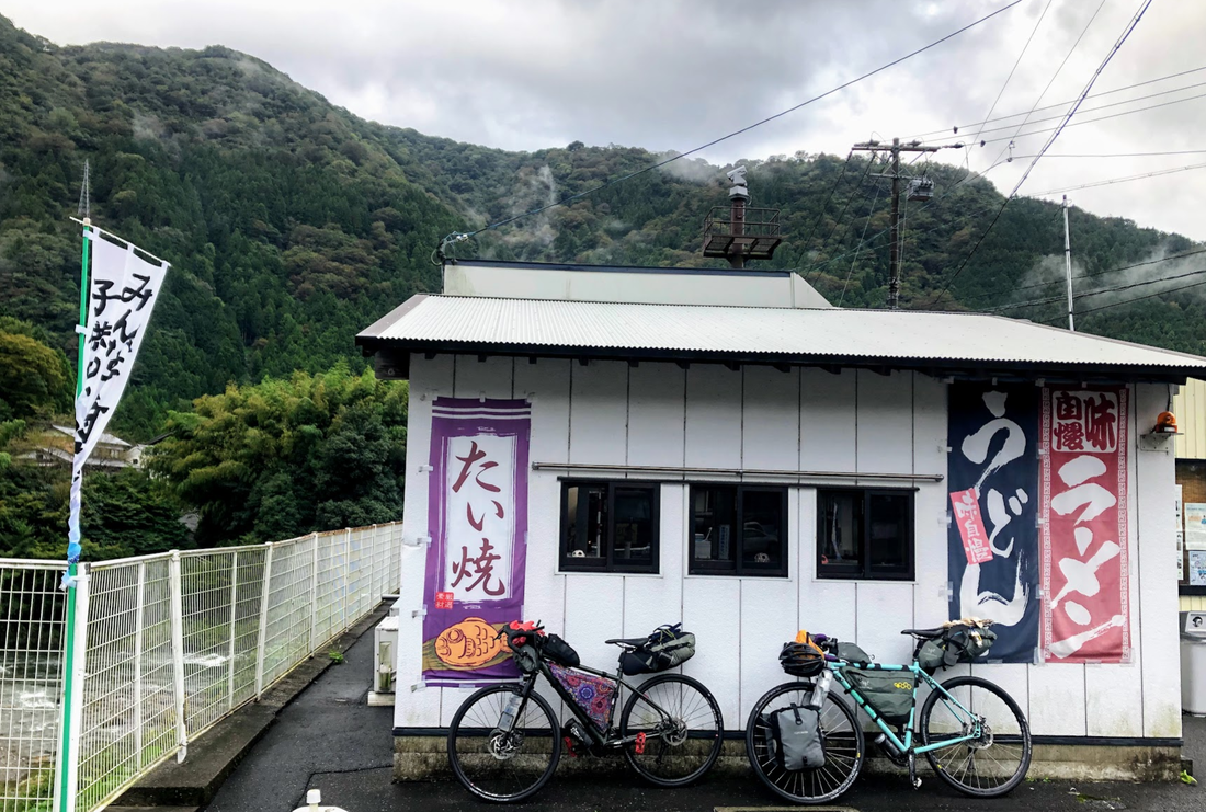
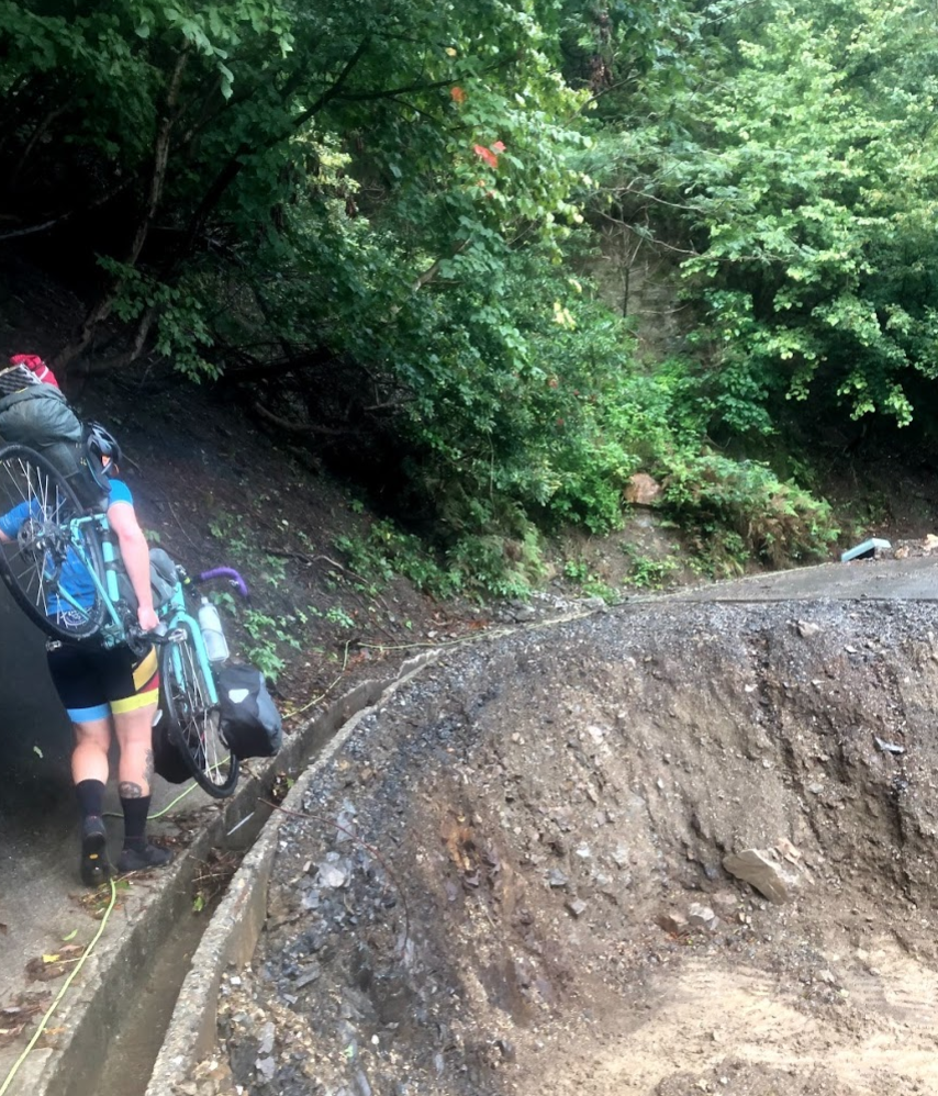
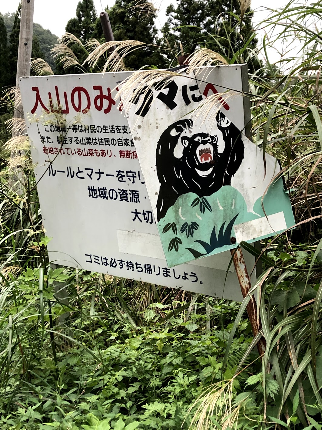
Gero is famous for its natural hot springs so the tiny town is filled with onsens and people walking around all day in their post onsen yukatas. Strava: link Start: Gero End: Stealth camping outside Takayama Distance: 74 kms Elevation: 1,171 m 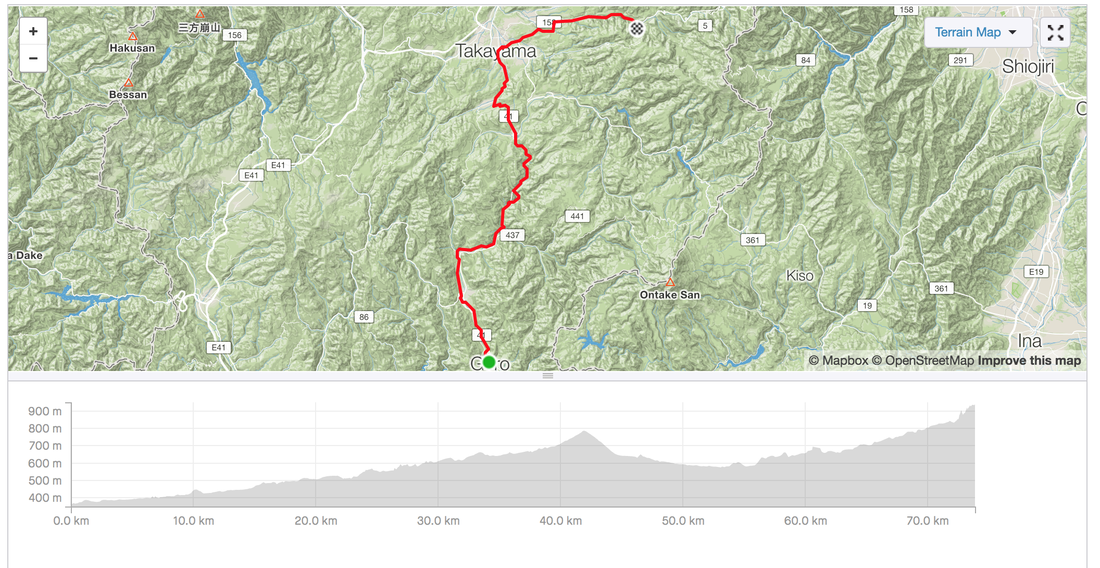 Helpful hint about public outdoor onsens. Make sure you check when the cleaning and emptying time is. Try to get to the onsen before they empty out the water and clean the facility. 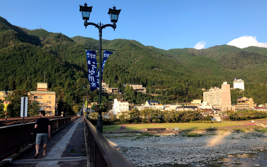 And then they said it's impossible to climb Takayama. 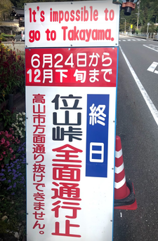 We still managed to ride around the cute country side checking out the cute bus stops, wild flowers and rest stops with so much detail. When riding through Japan in October you might be lucky to ride through fields of ripe persimmons (kaki). So despite having to reroute around Takayama at least I got my share of sweet golden persimmons. 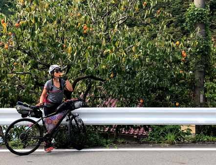 After a day of rain, waking up to a steamy sunny day was the best. Followed by a closed mountain road for a car-free ride to the town famous for its onsens. Strava: link Distance: 93 kms Elevation: 2,332 m 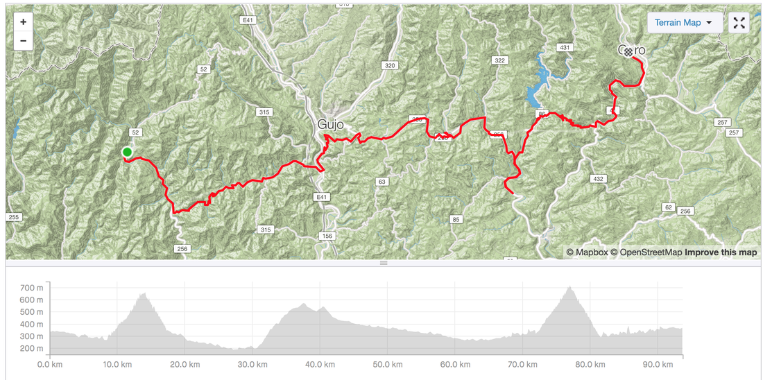 From a breakfast of tofu and bamboo shoots and banana to a feast of the most amazing agedashi tomato and agedashi tofu. So much transport. Closed roads (that's what I think the sign said). Buses and cycling over cute bridges. Watching even cuter single carriage trains through the mountain valleys. Survived the night of heavy rain and not thinking about being mauled to death by bears. Breakfast of stale donuts, bananas and red bean. Start: Stealth camp End: After what seemed like an endless road to the camp site we were met by the owner of the only camp site open in October about 1 km from the site. It was beautiful location near the river in a valley between the mountains. Strava: link Distance: 86 kms Elevation: 2,402 m 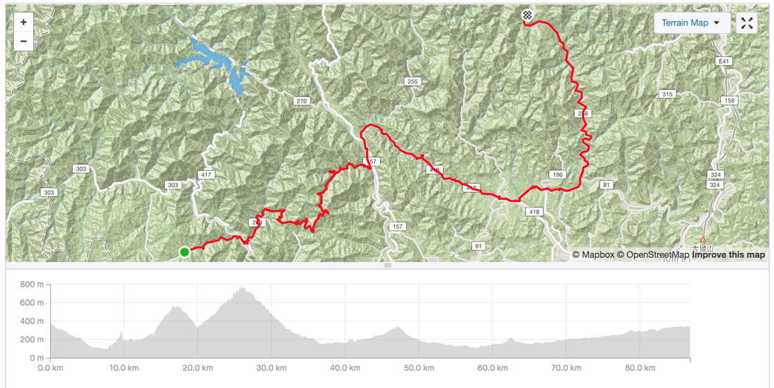 Lunch: All the shops were closed in the morning, messing up our plans to have lunch at the shops. But we managed to find a corner store with some cup noodles which the shop keeper kindly let us eat after he boiled some hot water for us. Sat in the shop to dry off a bit from the rain and to figure. We loaded up with as much food as we could carry and were off again. 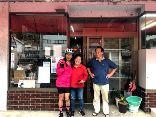 Thanks to broken closed roads we were able to ride car-free up the mountains. Sometime we had to walk along the cliff face but that was a tiny price to pay to have the car-free pass. 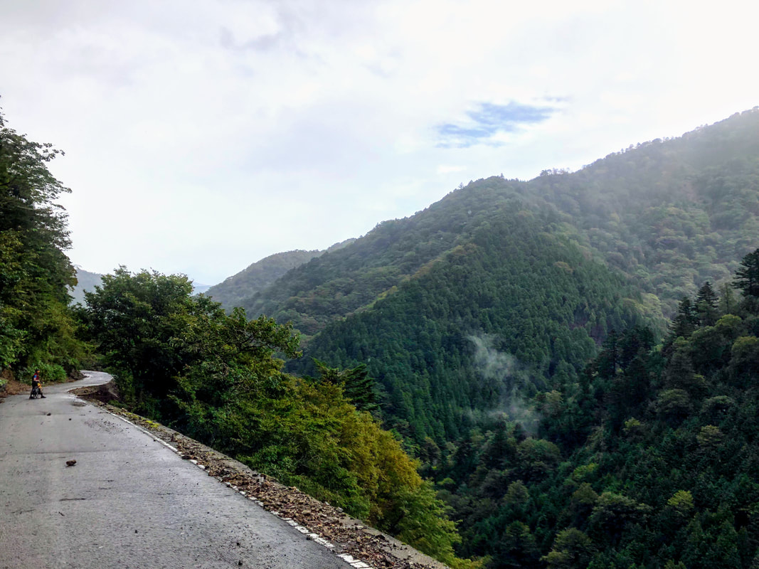 Start: Nagahama (train ride from Kyoto) End: Stealth camped behind an empty house, after being rejected at a camping site which the staff said was closed. Strava: link Distance: 57 kms Elevation: 1,989 m 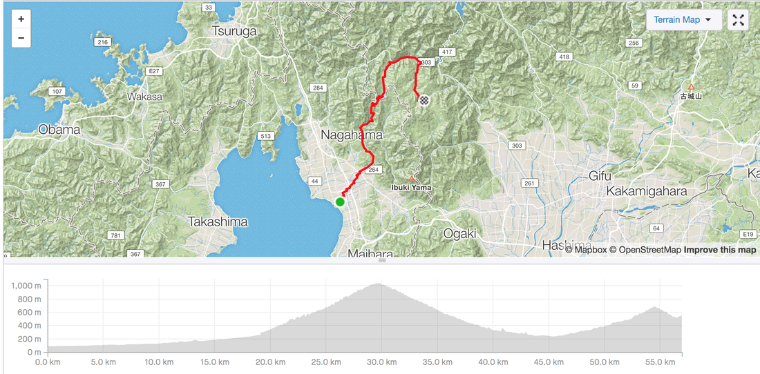 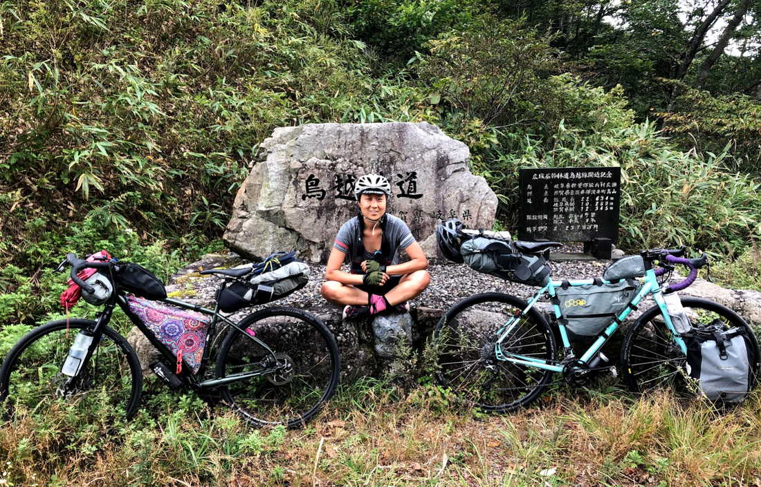 |
Archives
July 2023
Categories
All
|


 RSS Feed