|
liFinal stats
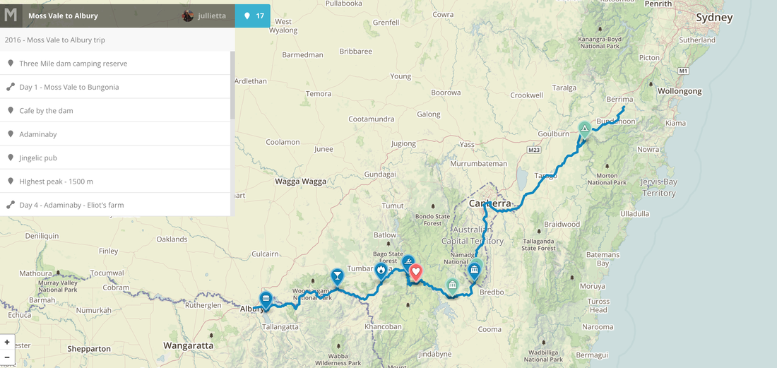
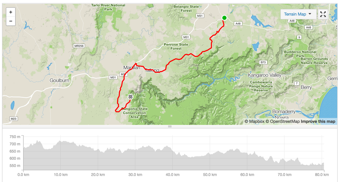
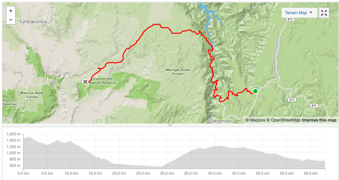
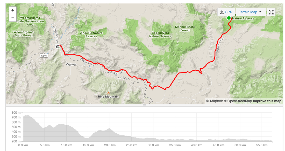
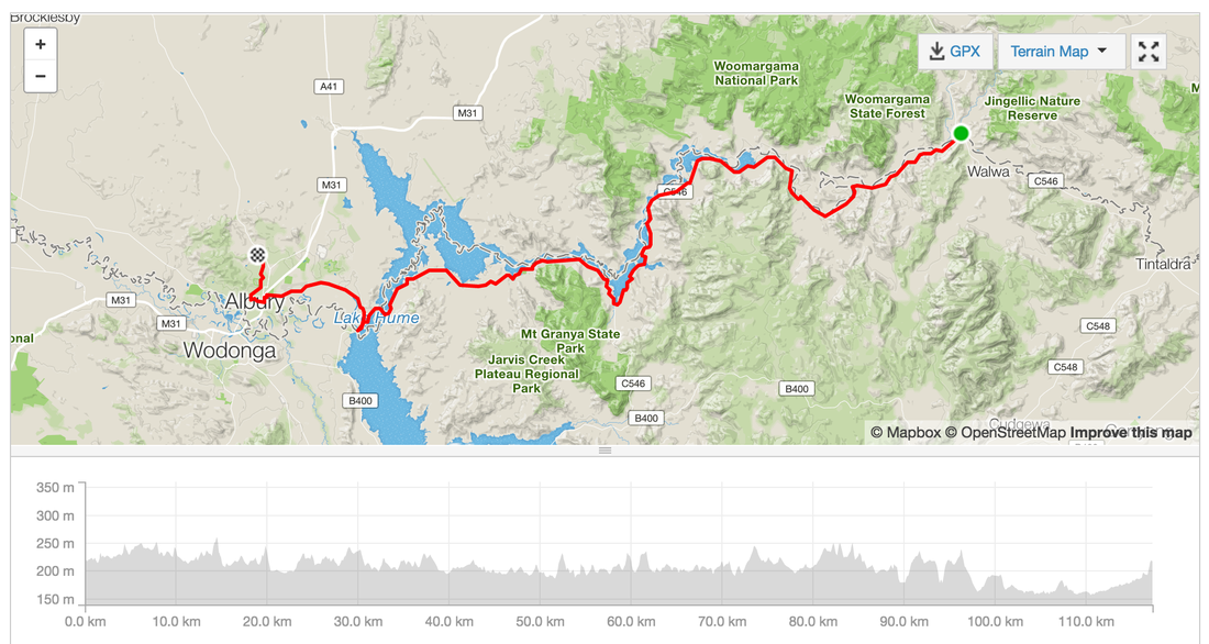
Total Distance: 622 kms Total Elevation gain: 7,760 m Highest Peak:1,500 metres above sea level at Selwyn Snowfields Coldest point: Selwyn Snowfields, 6 degrees, felt like 1 (evidence in the ice that formed in our drink bottles) Fastest speed: 59 kms/h Fires we made or leeched off others: 6 Successful dampers made by the fire: 0 Muesli bars consumed: 14 Favourite moment: Riding with a brumby Least favourite: All the gravel View the posts for the whole journey: link Posts Day 1 - Moss Vale to Bungonia - link Day 2 - Bungonia to Canberra - link Day 3 - Canberra to Mount Clear via Bobeyan Road - link Day 4 - Mount Clear to Selwyn Snowfields - link Day 5 - Selwyn Snowfields to Tamburamba - link Day 6 - Tamburamba to Jingelic - link Day 7 - Jingelic to Albury - link Ride with GPS Day 1 - Moss Vale to Bungonia - link Day 2 - Bungonia to Canberra - link Day 3 - Canberra to Mount Clear via Bobeyan Road - link Day 4 - Mount Clear to Selwyn Snowfields - link Day 5 - Selwyn Snowfields to Tamburamba - link Day 6 and 7 - Tamburamba to Jingelic - Albury - link
0 Comments
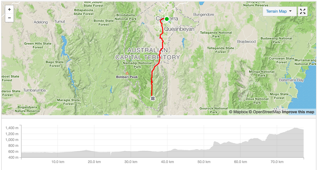
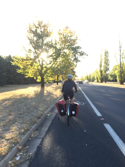
After a night in the comfort of a bed at a friend's place, pub dinner and a hot shower we're on the road with a smaller entourage. We ride out to Thawra for brunch on ANZAC day and get some hot pides and turkish bread for the road.
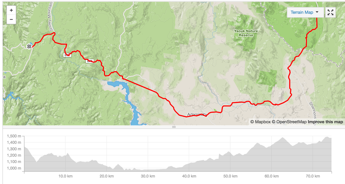
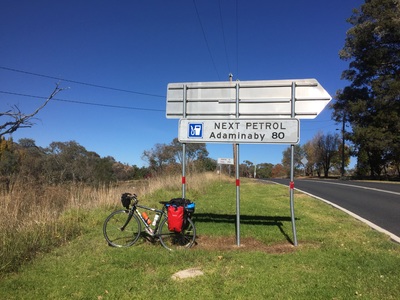
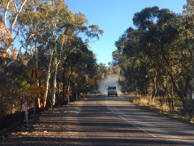
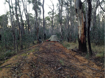
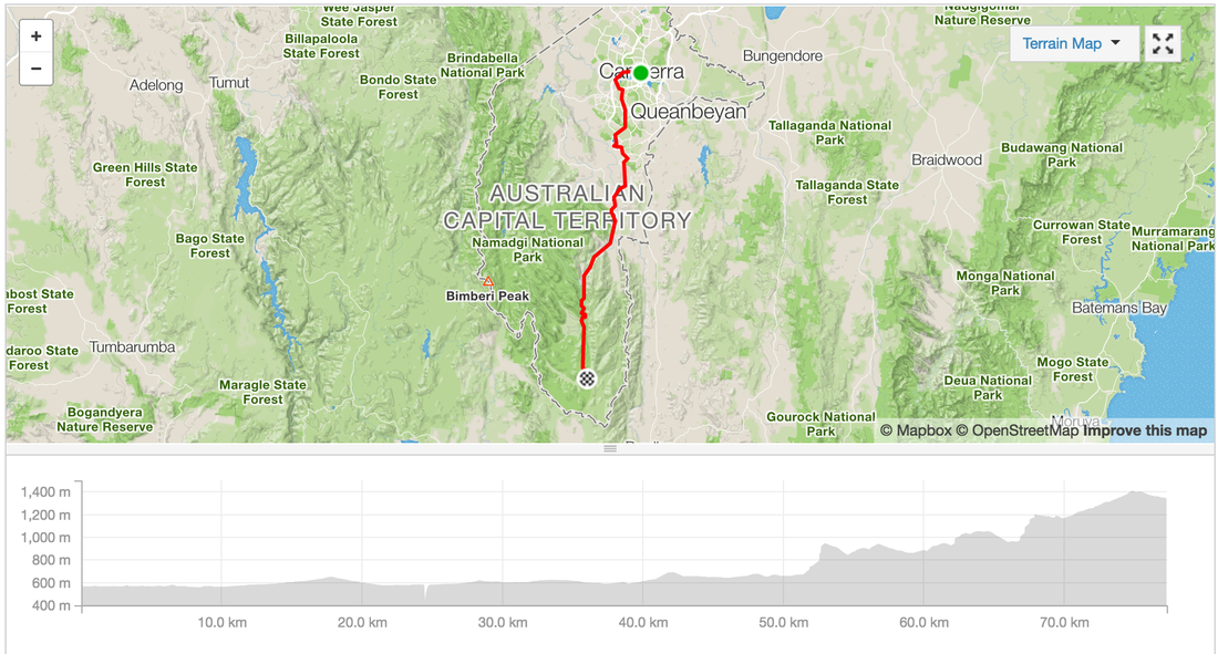
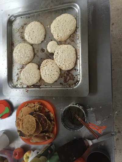
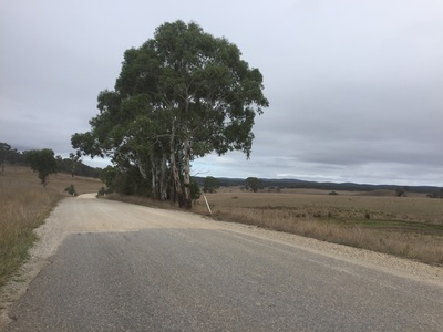
We're supposed to cover 120 kms but only managed half that after encountering some nasty gravel uphill roads which were a lot tougher than we'd hoped. By sunset we were looking to make camp on the side of the road anywhere it was flat Start: Canberra End: Somewhere on Mount Clear near Shannons flat Distance: 77.3kms Elevation: 1,694 m Difficulty: Hard Road quality: On bike paths until Thawra when it turned onto country roads. Then into gravel going into the state forest. Gravel with uphills. Strava: link Temperature: 10 degrees C at night Notes: No water from Thawra on. Must carry all water for 100 kms until Brayshaw's homestead. Highlights:
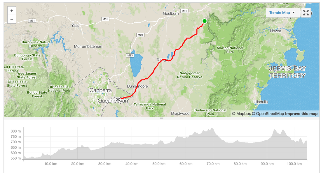
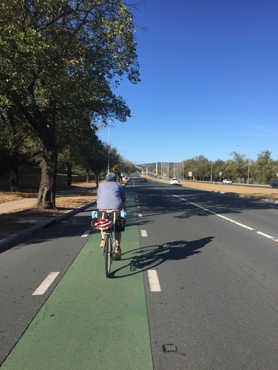
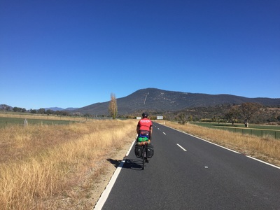
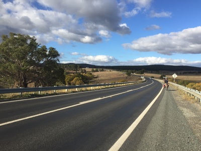
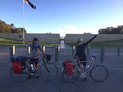
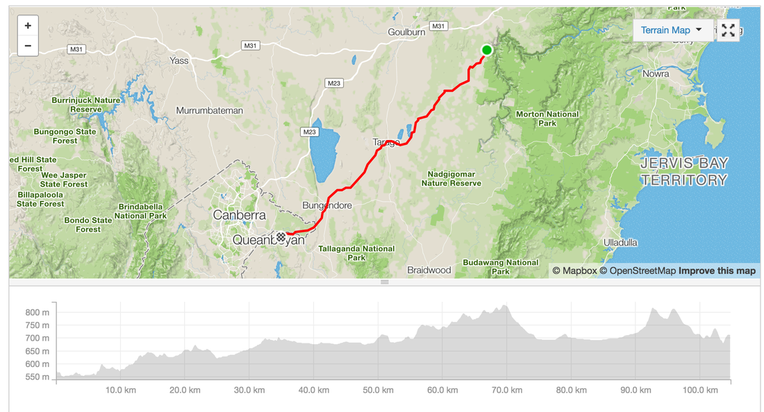
Some photos courtesy of @Elbosout Route: link Strava: link Distance: 124 kms Elevation: 1100 m Start: Bungonia Campground End: Canberra bus depot Road: On road, some compact dirt with corrugations (not much not too bad) 20 kms on highway with small shoulder, in Canberra bike lanes Difficulty: Medium - Hard (highways weren't too pleasant) Highlights:
Panorama photos courtesy of J.Henderson. I'm not sure why it was such a hard sell getting a group of people to spend the weekend in Canberra. Was it the compulsory school bus trip to the nation's capital that has permanently burnt us?
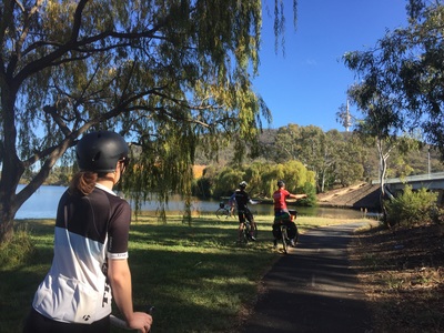
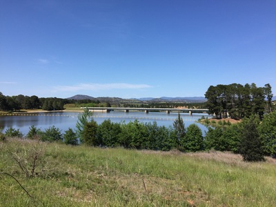
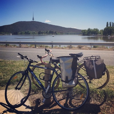
For the handful of friends I managed to round up what a kick ass biking weekend. Lake Burley Griffith offers 3 different courses for bike riders of all grades. Mini easy rider around the capital and the monuments. Level 2 around the swamp. Level 3 around the countryside. Bike Hire: Mr Spookes Map: Online Distance: 18 kms |
Archives
July 2023
Categories
All
|

 RSS Feed