|
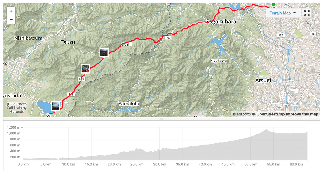
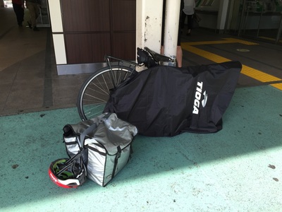
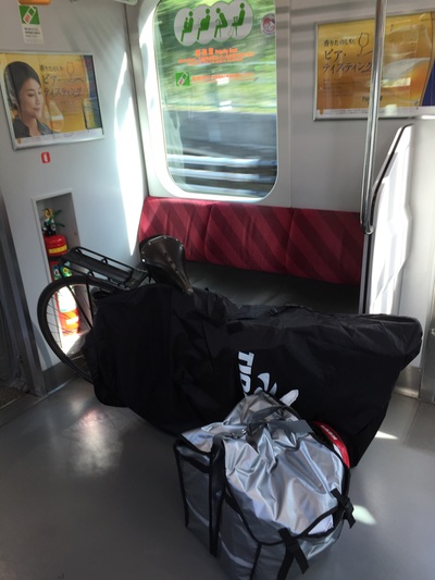
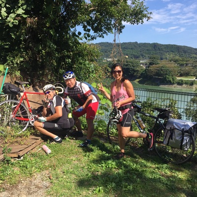
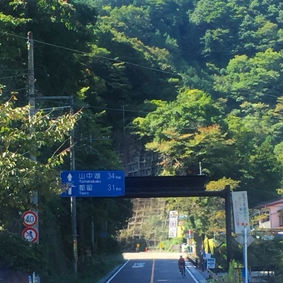
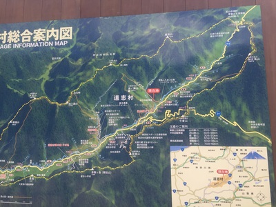
Started the ride just outside of Tokyo to avoid the cars. Take the Keio Train line from Shinjuku to Chofu, change for Hashimoto. You can take your bicycle in the train if it is inside a bike bag. Start: Hashimoto station on the Keio Line, west of Tokyo
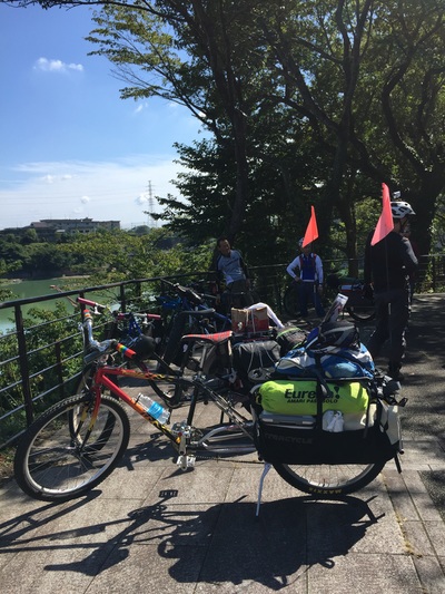
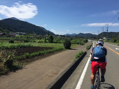
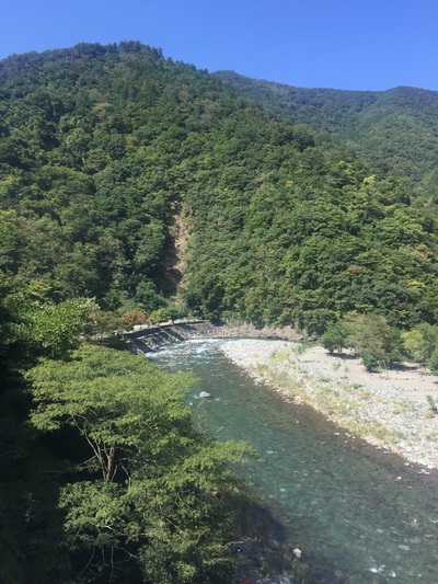
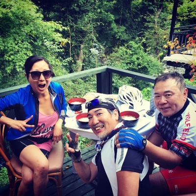
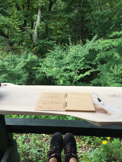
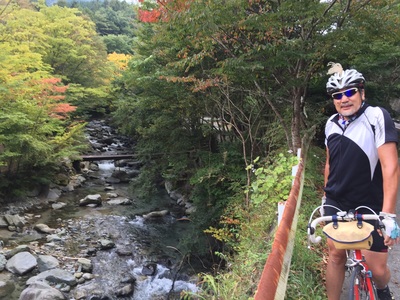
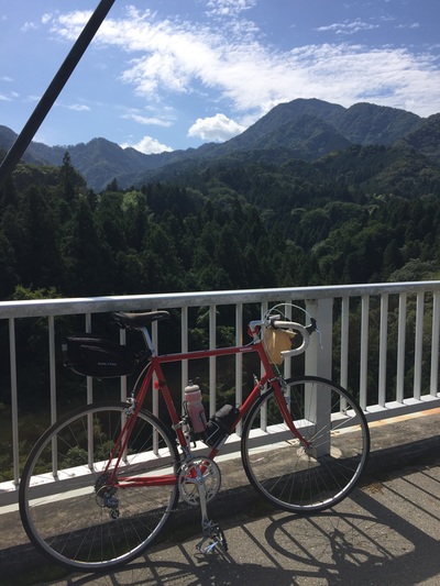
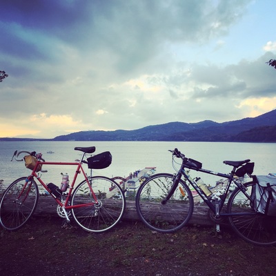
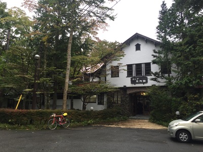
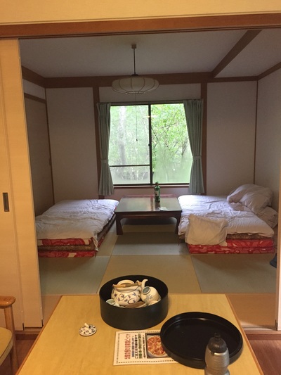
Distance: 62.4 km Strava: https://www.strava.com/activities/405848428 Elevation gain: 2,285m Road Type: On Road, often quiet streets in the mountains, motorbike clubs drive on these roads too, careful off the occasional truck. Sights: Too many. Mountains, river ways, forests, the lake Tips: Don't need to carry spare water as there are plenty of vending machines along the way End: Yamanako Food: Plenty of stops including a rest stop with udon and a tofu shop. There are restaurants and a massive rest stop in the hills. Best cafe was one nestled near the last climb serving soba and kaki with a bike rack out the front. Accommodation: Cabin in the forest
0 Comments
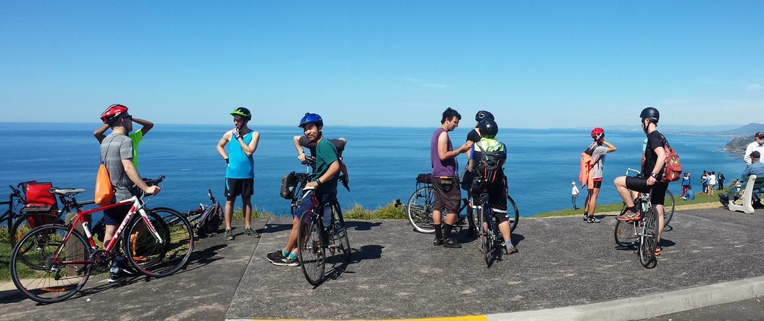
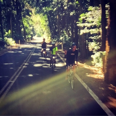
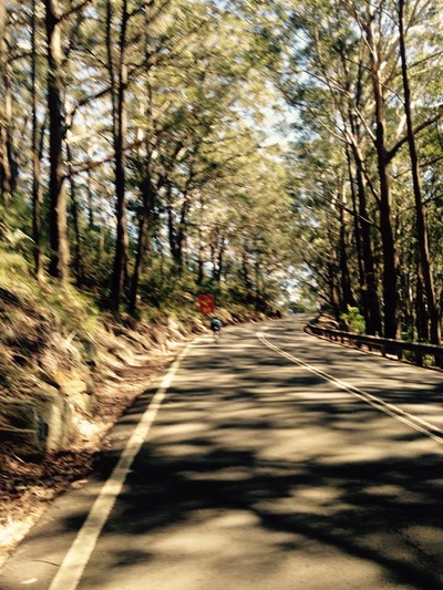
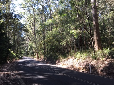
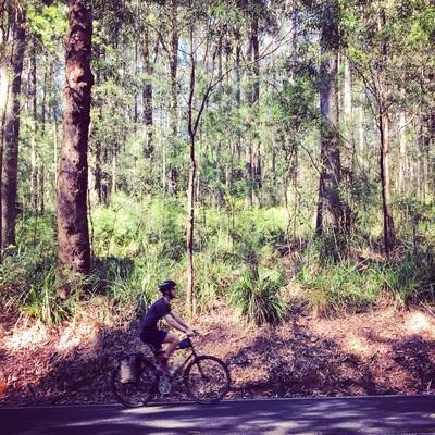
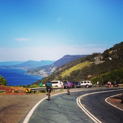
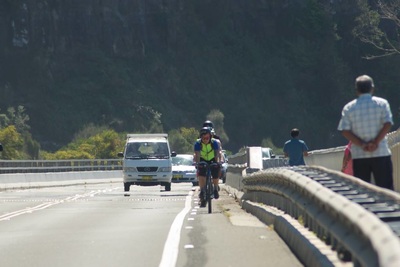
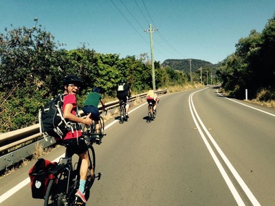
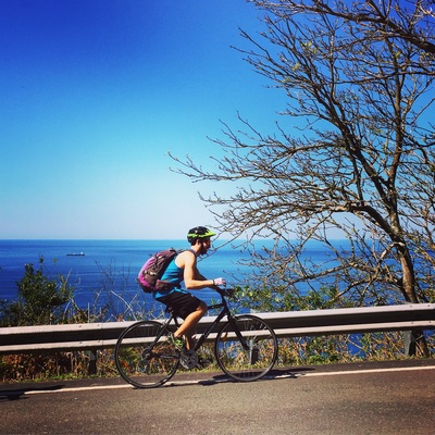
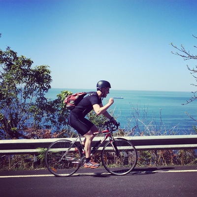
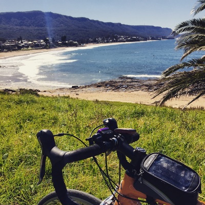
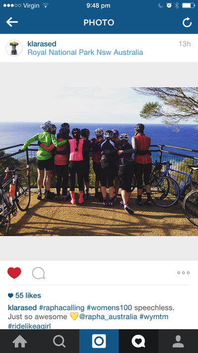
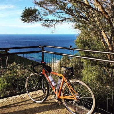
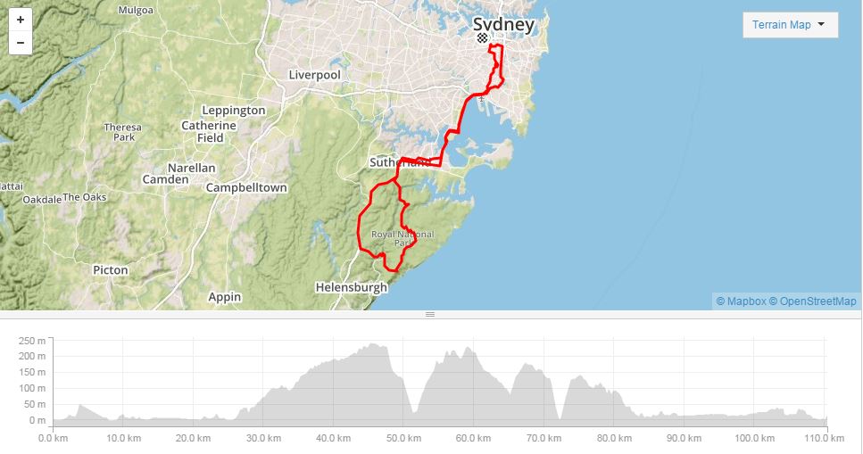
Stunning ride through the forests of the Royal National Park with the smell of the Eucalyptus trees, and birds singing. Very Disney like. Then out of the Park you're hit with a stunning view of the East Coast. Rest of the 30 kms is all coast line, up and over along the ridges. A lot of steep downhill runs, a few climbs but never for long.
Take sunscreen. Take sunnies. Take plenty of water as there aren't that many refill stations along the way. Distance: 50 kms Time: 2 hours riding Route: http://www.mapmyride.com/routes/view/849872737 Surburbs: Waterfall, Royal National Park, Stanwell tops, Otford, Clifton, Scarborough, Coledale, Autinmer, Thirroul, Fairy Meadow Path:
Hills: YES Several hills. The start is 4 kms of downhill. Rest of the National Park are rolling hills. Strava: Sights & Treats:
Water and Food:
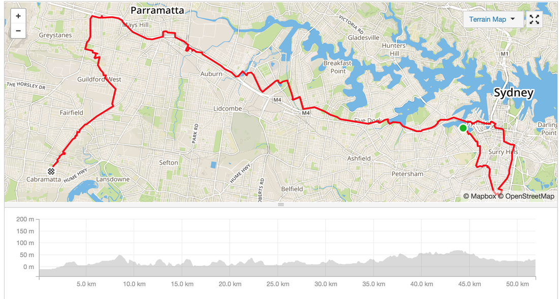
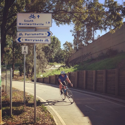
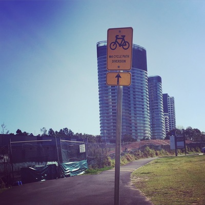
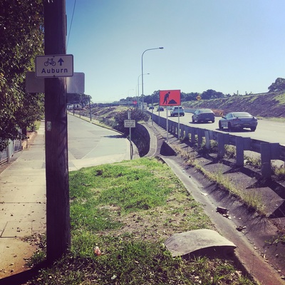
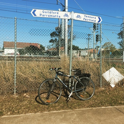
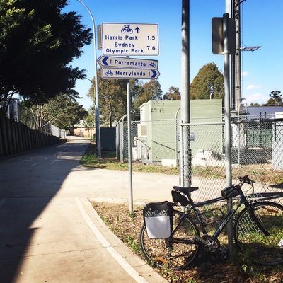
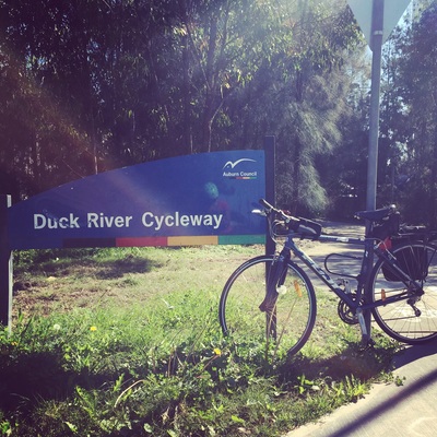
The M4 Cycleway is surprisingly very well signposted, even with the detours the diversions signs were everywhere. The best part of this ride is the destination. Cabramatta, home of the best Vietnamese food.
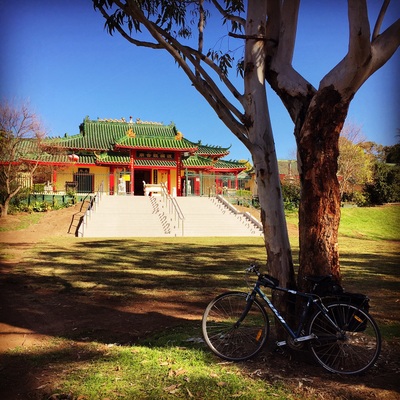
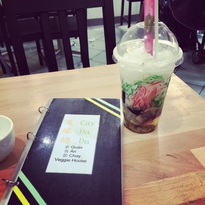
Distance: 50kms Route: Glebe - Zetland - Sydney City - Lilyfield - Haberfield - Olympic Park - Auburn - Harris Park - Wentworthville - Fairfield - Cabramatta Path: Mostly Cycleways, separated paths, some bike friendly roads in the city Hills: Only a few with small gradients Strava: link Sights: Buddhist temple near Cabramatta station along the cycle way Treats: Cabramatta offers the best selection of Vietnamese food, check out this blog for a map. Also because of the strong Buddhist culture there are several vegan/vegetarian Vietnamese restaurants as well. Must try: 3 colour bean drink (Che Ba Mau) Distance: 40 kms
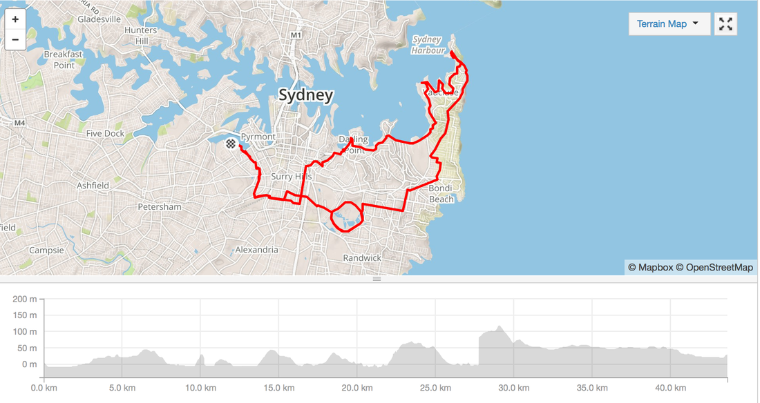
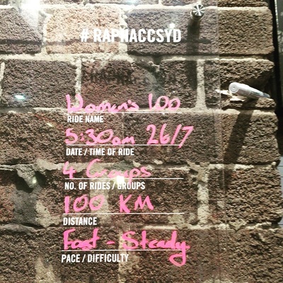
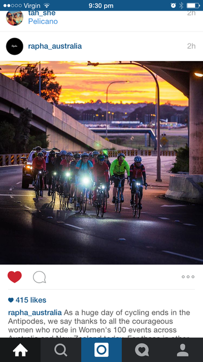
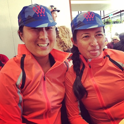
Location: Glebe, Redfern, Rushcutters bay, Double Bay, Nielson Bay, Watson Bay, Dover Heights, Bondi, Centennial Park Difficulty: A few steep inclines, heartbreak hill isn't steep but a bit long Surface: Road, a few stairs Highlights: Amazing views of Sydney Harbour, lots of beaches, spectacular display of Sydney's most expensive houses. Facilities: Cafes, public toilets, water fountains along the way Strava route details: http://www.strava.com/activities/359151700 I've been quite anxious leading up to today's Rapha #Womens100 challenge. Thinking that it would be a fast paced pelaton race format. No stops. Lycra. Eating on the bike. I went and bought whole heap of gear to make me feel comfortable (refer to clothing section for more details).Then spent the rest of the week googling ways to pee, change, layer, take off jacket while riding, eating while riding.
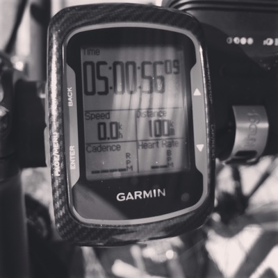
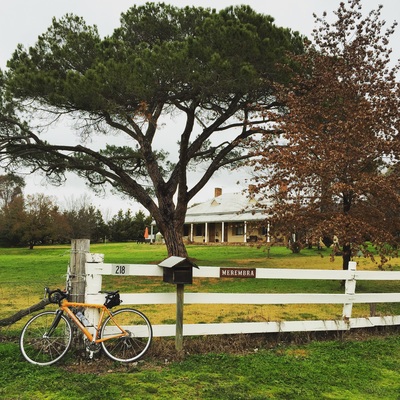
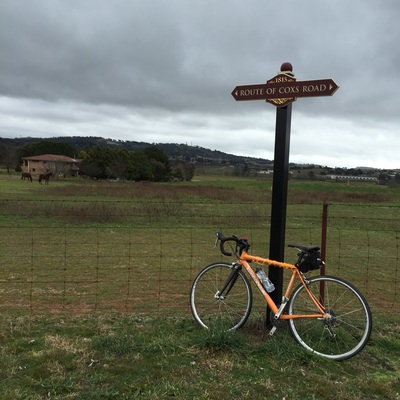
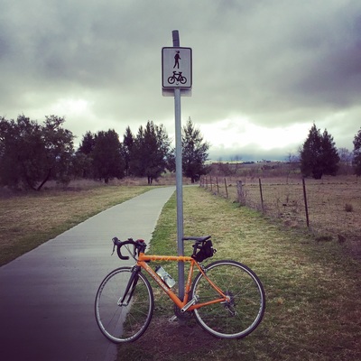
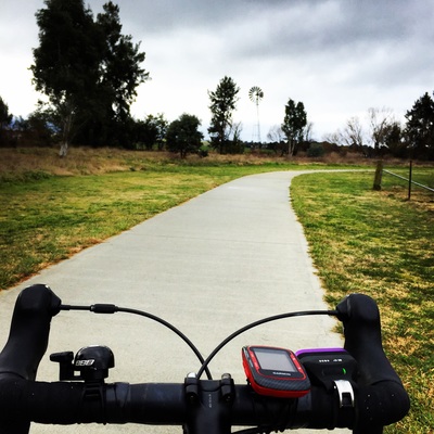
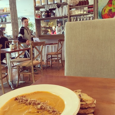
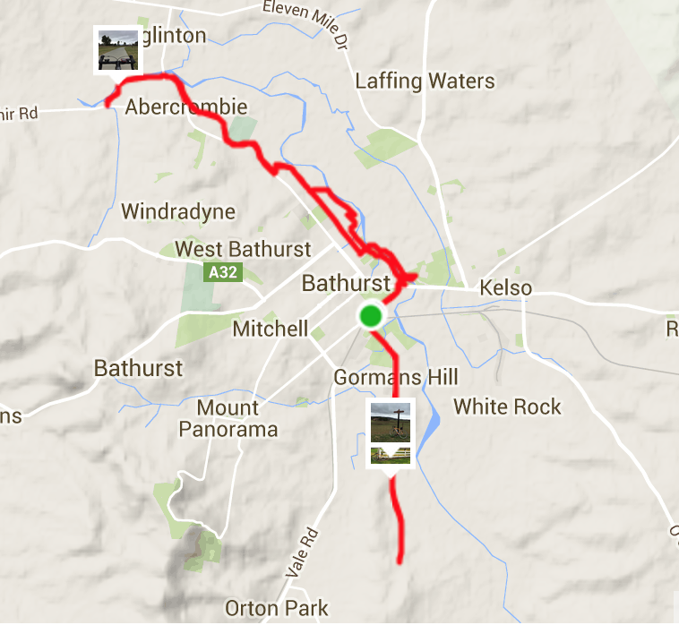
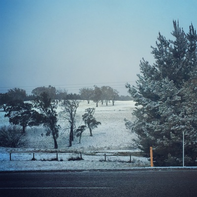
When all it took was a 15 minutes conversation with the ladies in the riding group. Route details: http://www.strava.com/routes/2760039 Distance: 100kms Difficulty: 3 major ascents and 3 descents. Some roads are tight through and prone to car rage. Surface: Road Facilities: Public toilets at the end inside the National Park. Toilet at Waterfall train station. Otherwise bush. No water refill stations. Temperature: 5 degrees C - 15 degrees C Clothing: Full fingered gloves, merino long sleeve, short sleeve jersey, Live Giant bib shorts, knee warmers, Rapha wind breaker, Rapha cap. No undies. No panty liners The Merino was defintely helpful during the descents in the National Park. I did take off the Merino on the climbs. I'm in Bathurst, NSW today for a friend's birthday. 200 kilometres west of Sydney. That's a 2.5 hour drive without traffic. Tip: no traffic on the road when you leave at 5:00 am. Before getting to Bathurst I'd done my google research and had saved a few routes. But as I was driving in I noticed a pathway along the river and decided to be adventurous and try my luck with a random ride. Random Rides for the win! Distance: 29 kilometres Road Type: Road, Dirt (my road bike was able to handle the dirt, better with a mountain bike), Bike paths Difficulty: Only a few hills mostly riding on the bike path. Highlights:Bike path along Macquarie river, fields of cows and horses, Route of Cox's road Facilities: Bubblers available along bike path, public toilets at one end of the river Strava: Activity here Coffee stop: Piccolo's on William Update: Warning when travelling to Bathurst, you may be driving in snow on ice so DRIVE CAREFULLY.
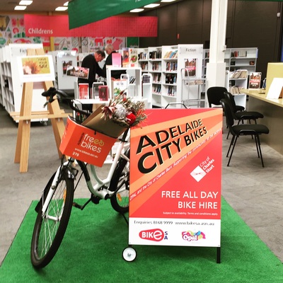
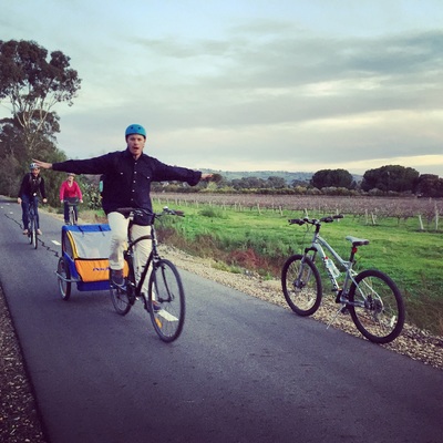
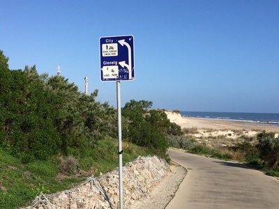
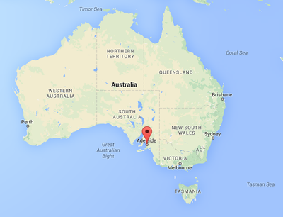
What city in Australia offers free bike hire from public places*, including libraries, and hundreds of kilometres of bike friendly paths within the city, to the beach and through wineries? Adelaide, South Australia.
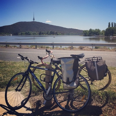
I'm not sure why it was such a hard sell getting a group of people to spend the weekend in Canberra. Was it the compulsory school bus trip to the nation's capital that has permanently burnt us?
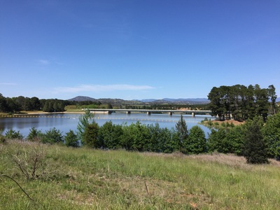
For the handful of friends I managed to round up what a kick ass biking weekend. Lake Burley Griffith offers 3 different courses for bike riders of all grades. Mini easy rider around the capital and the monuments. Level 2 around the swamp. Level 3 around the countryside. Bike Hire: Mr Spookes Map: Online Distance: 18 kms |
Archives
July 2023
Categories
All
|
 RSS Feed