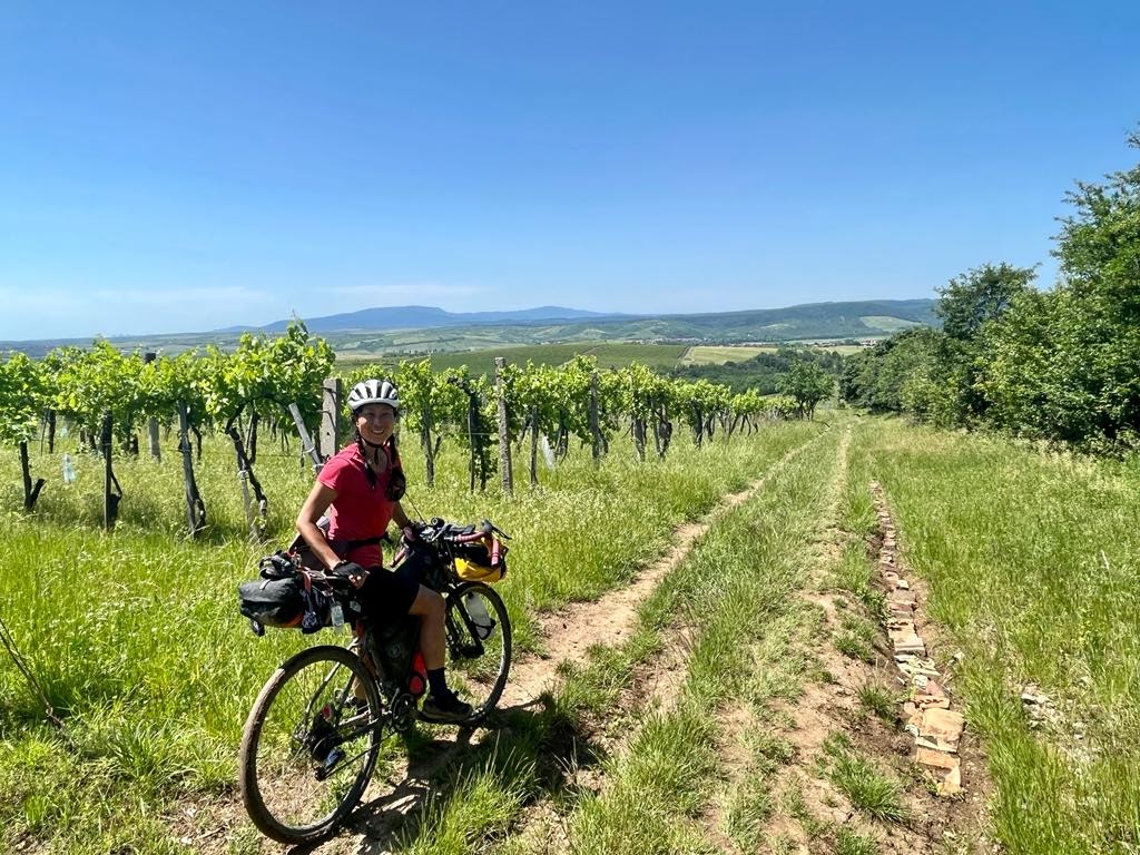
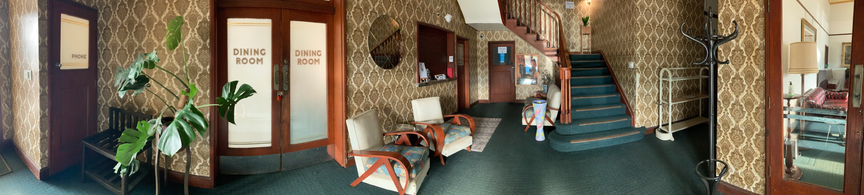
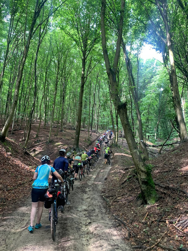
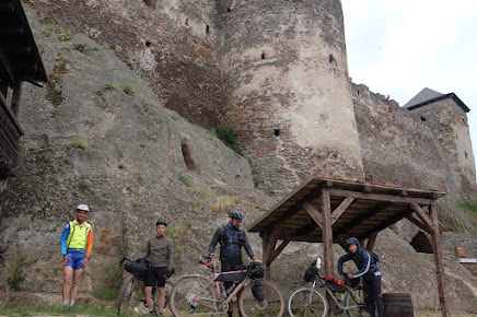
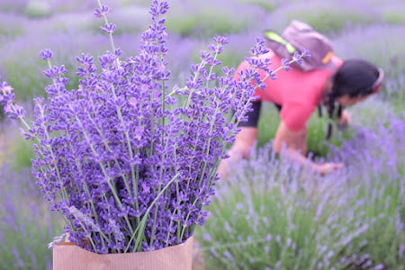
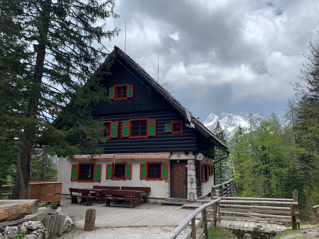
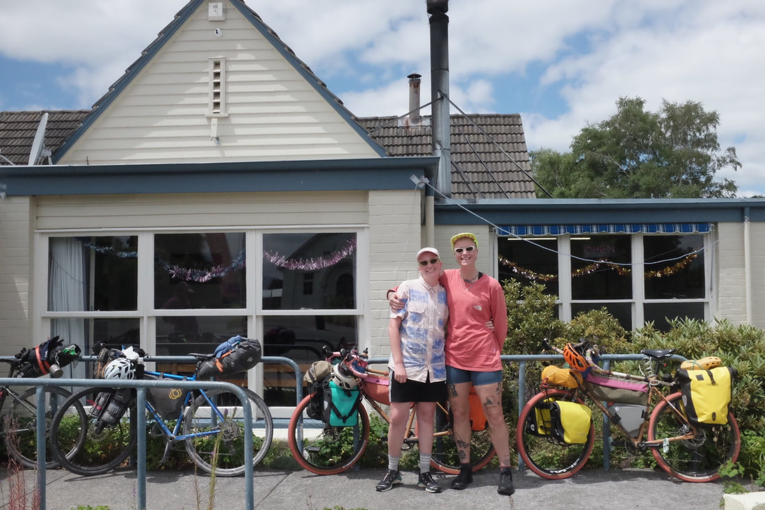
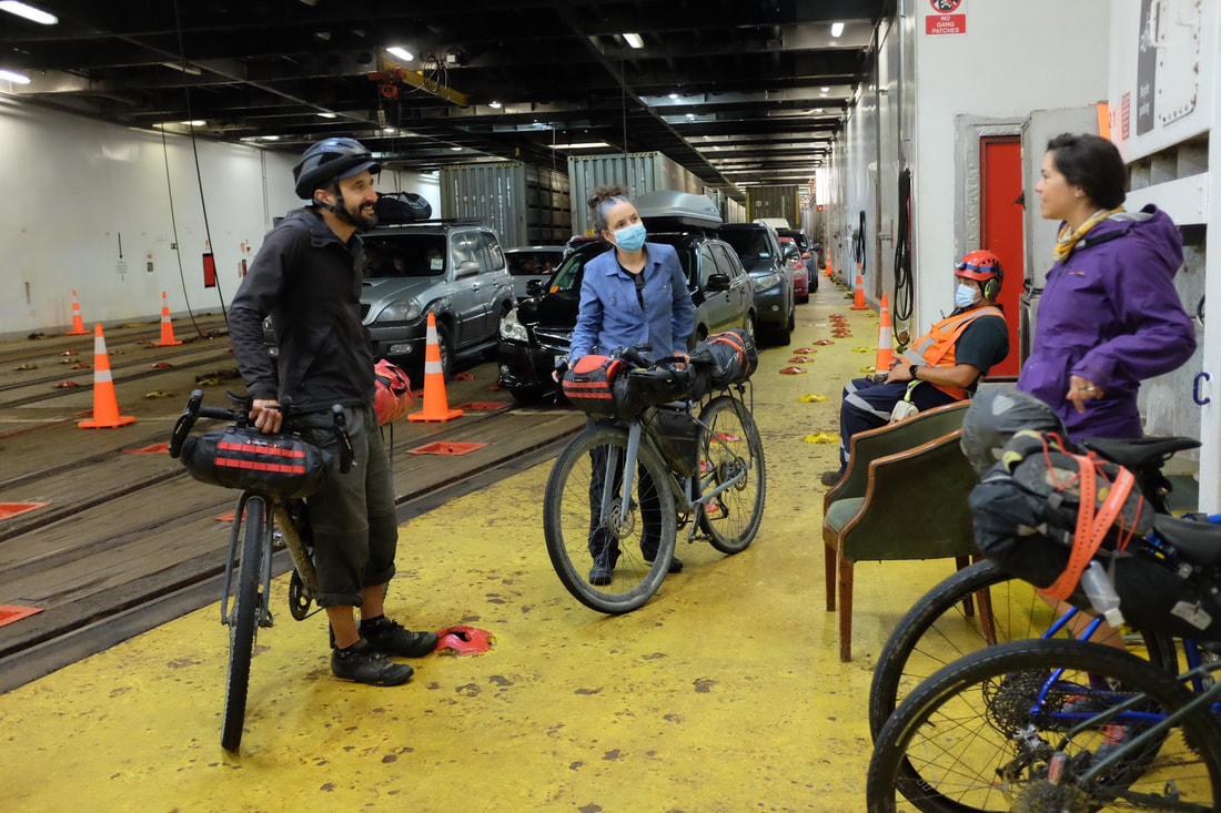
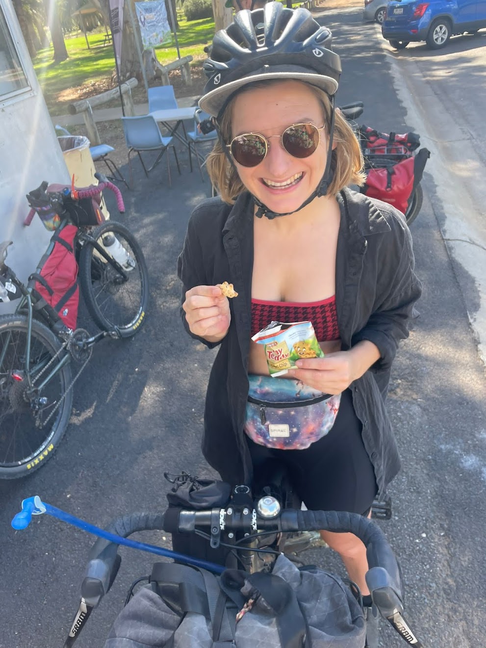
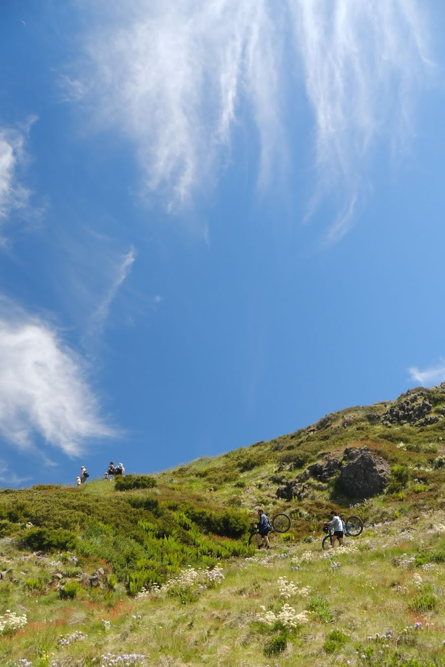
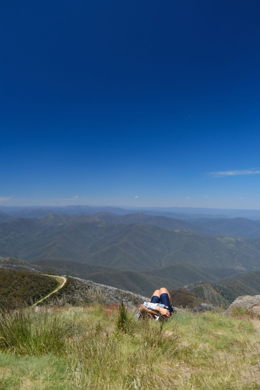
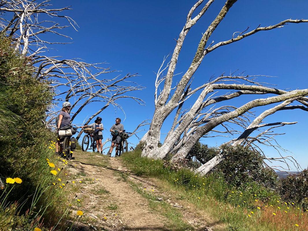
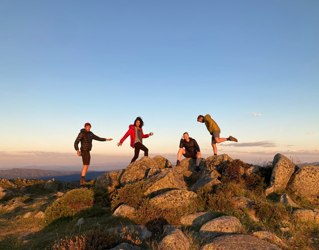
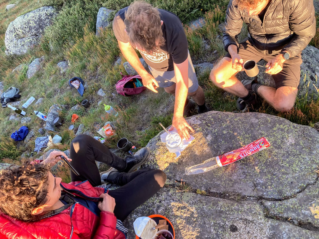
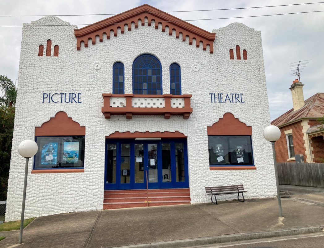
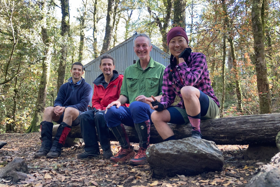
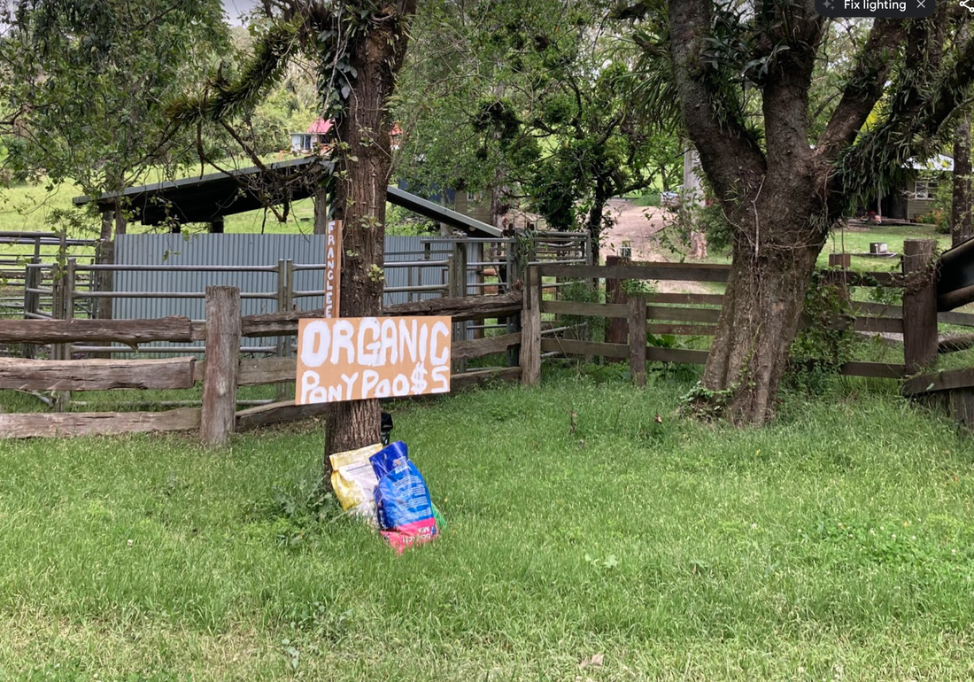
 The memories of pain have faded but this quote by my Hungarian friend who I met on the ride sticks with me. Mostly when I think back to the week that was the Hungarian Divide (half) 2023 I think of moments like this that I shared with my new friends who adopted me on the ride. My intentions in registering for this ride was to immerse myself in nature and challenge myself. I wasn't expecting to speak to anyone let alone share cabins, cherries and learn about the Hungarian sense of humour, or make new friends. Ride details The Hungarian Divide is a gravel ride, unsupported across the range in Hungary, literally crosses the country. The half is just half that and finishes in Budapest which suits me just fine. The ride is arranged by the good people of KMLN - website with more details here. Dates: 10 June 2023 - 17 June 2023. Everyone departs at the same time, there are several checkpoints with cut off times otherwise it's choose your own adventure. Distance: 730 km Elevation 13,000 metres 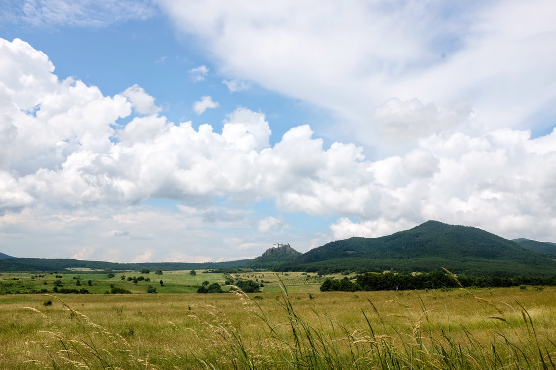 First of many castles in the sky
0 Comments
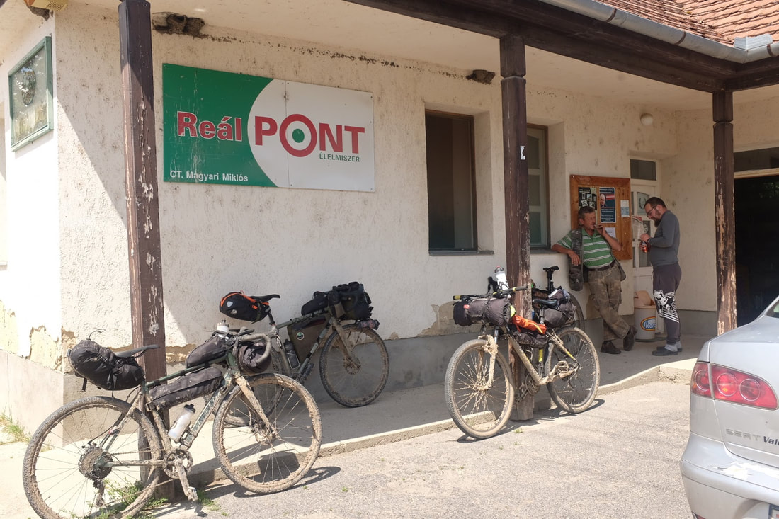
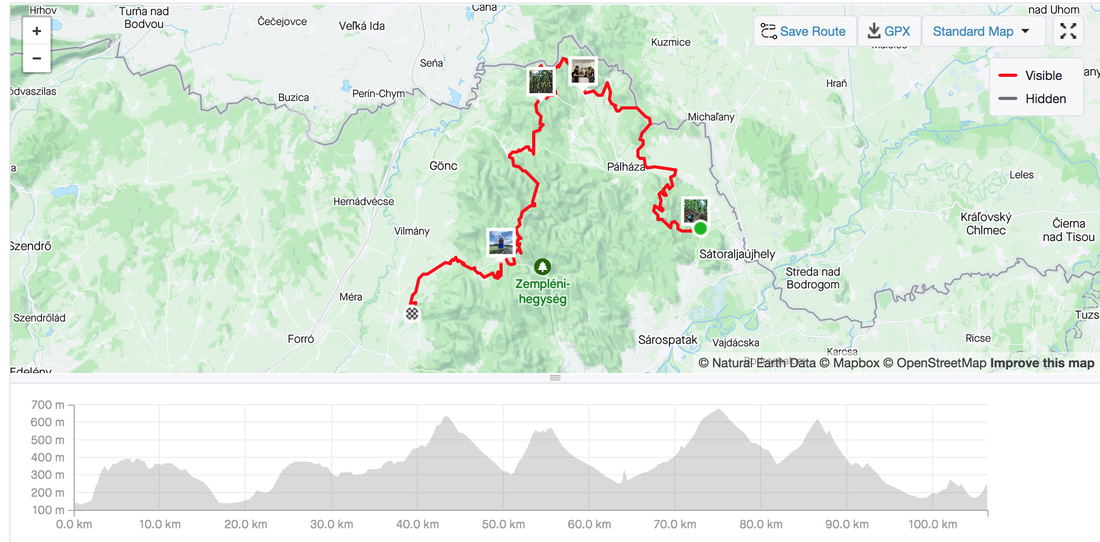
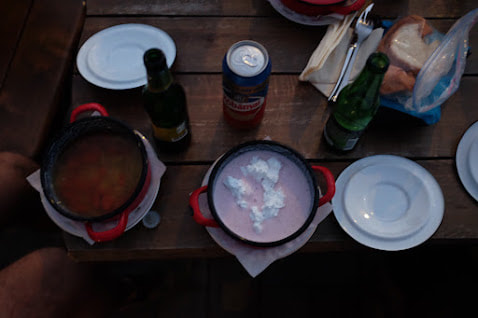
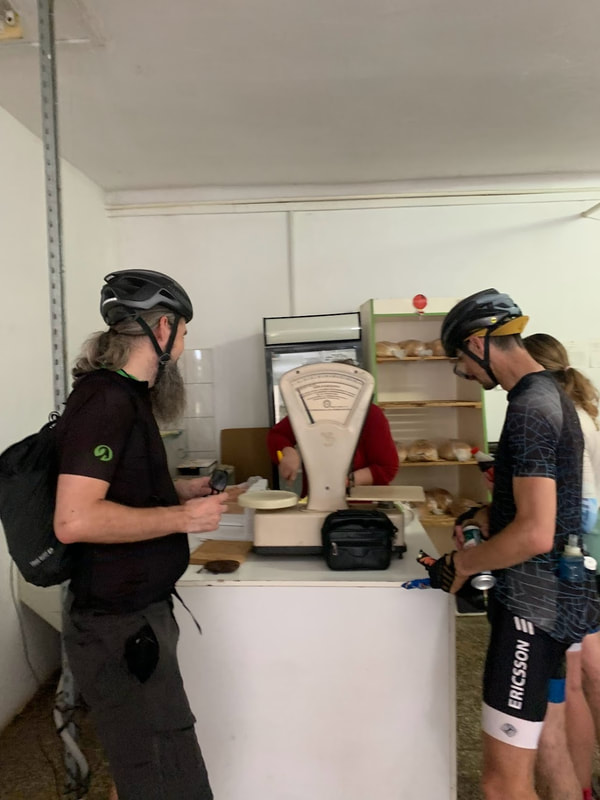
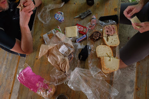
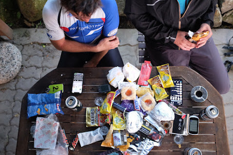
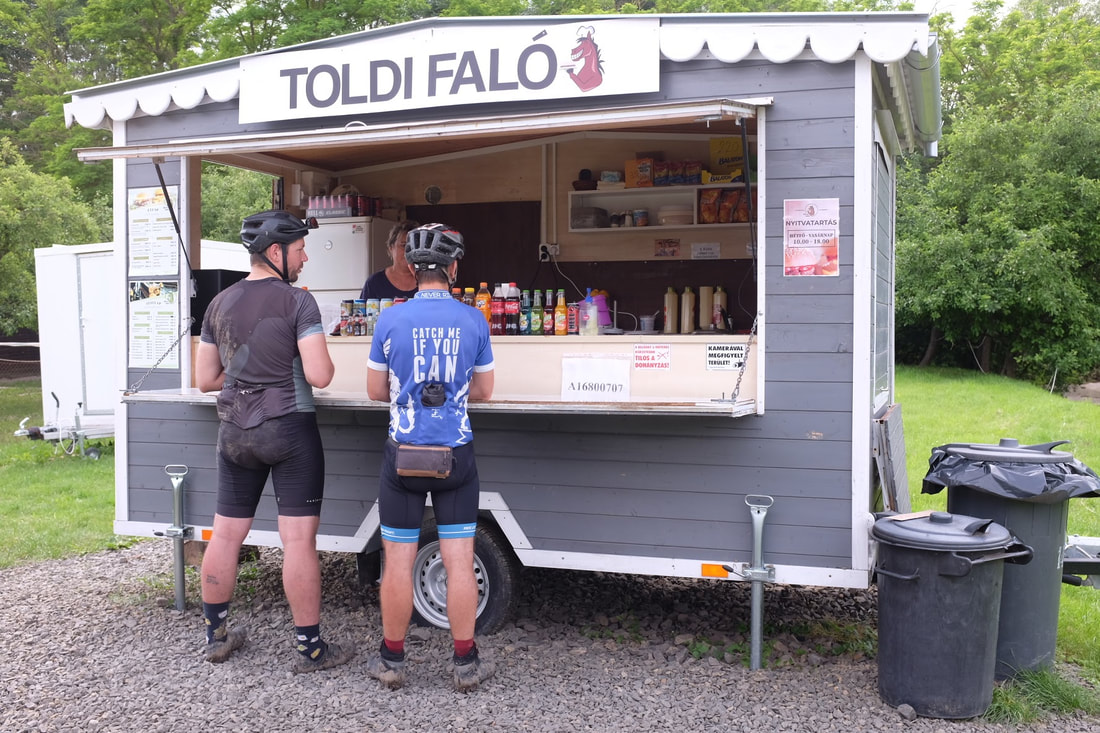
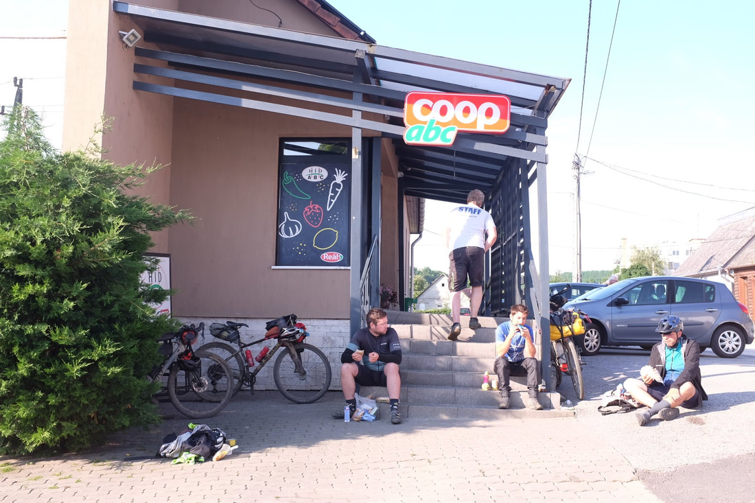
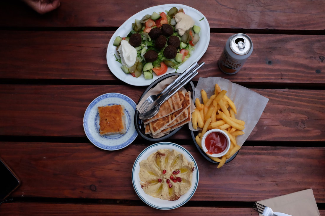
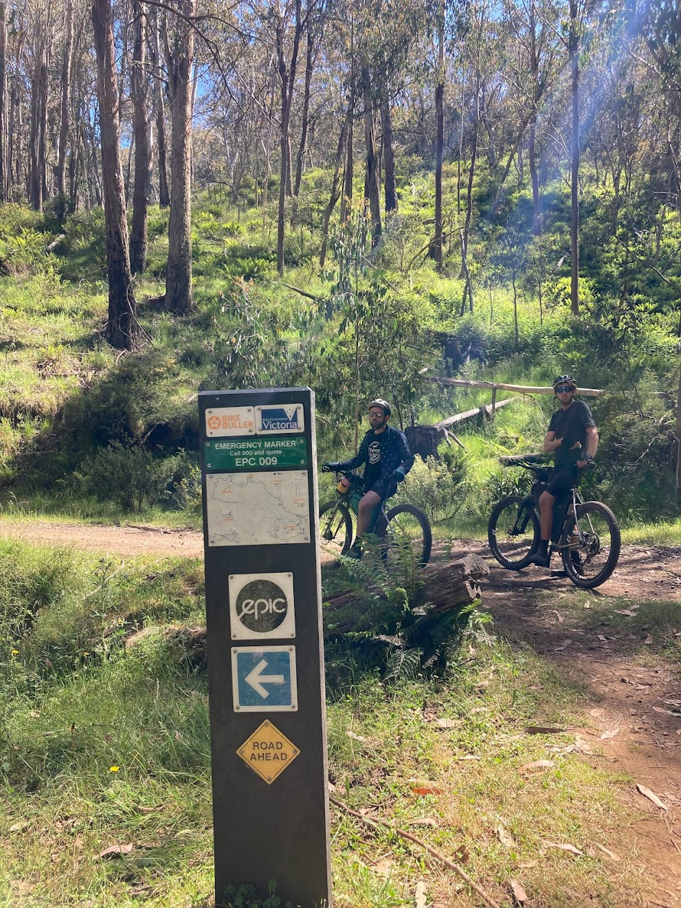
Day 1 - Sátoraljaújhely to Boldogkő Castle 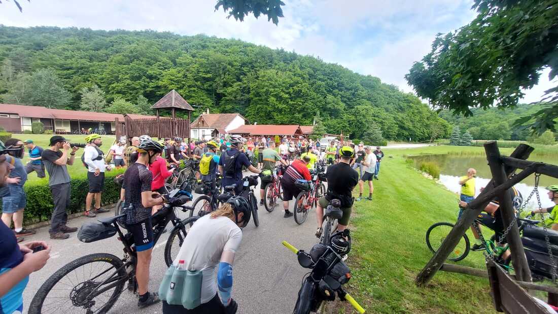 Day 1 Statistics Strava: Hungarian Divide - Day 1 Distance:106.3 kilometres Elevation: 2,448 metres Food: Lunch at a Small grocery store, Dinner at the end at a pub Highlights:
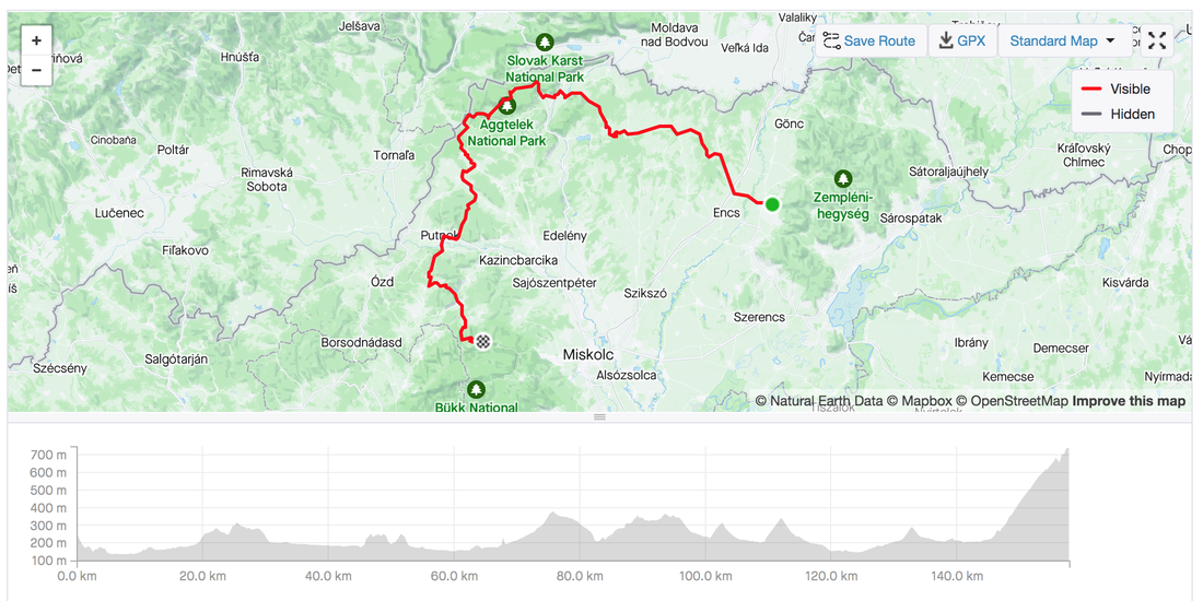
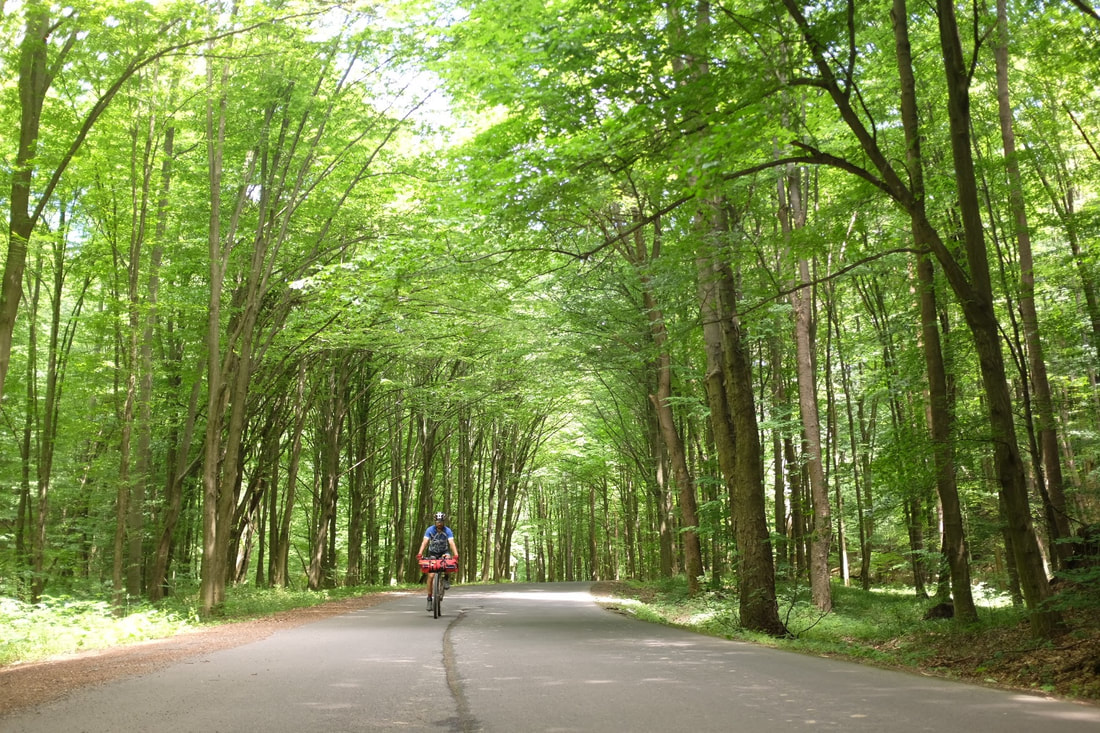
  Day 2 - Bükkszentlélek 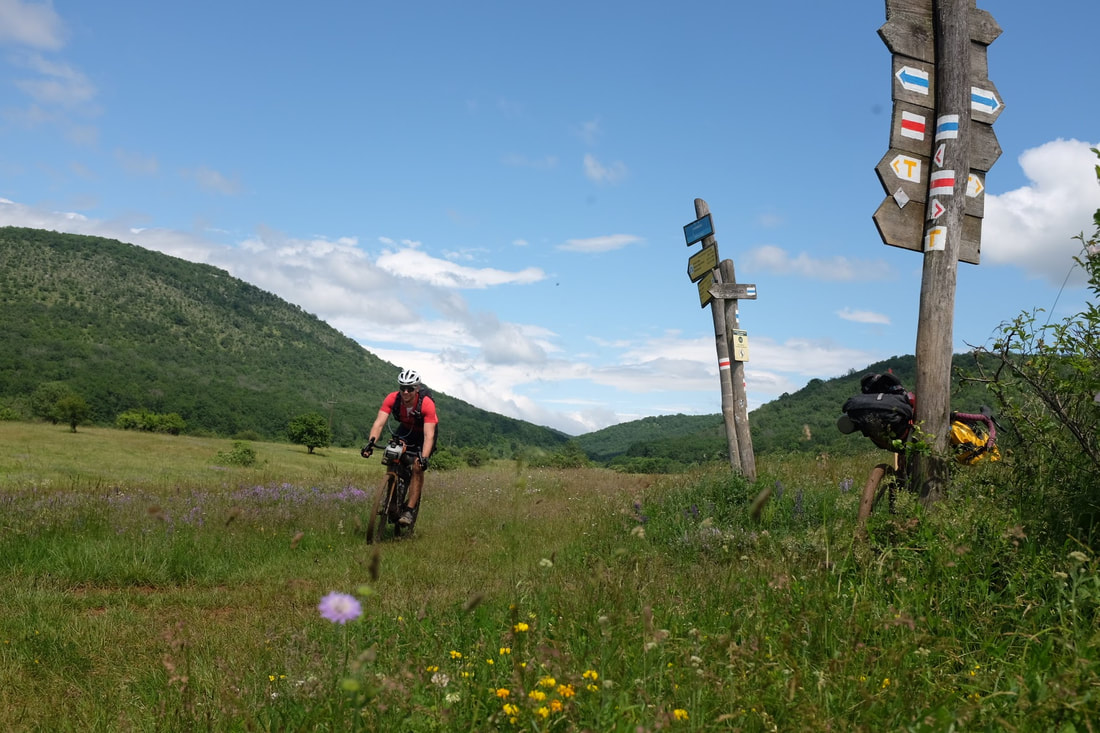 Day 2 Statistics Hungarian Divide - Day 2 Distance: 158 kilometres. Elevation: 2,144 metres Highlights
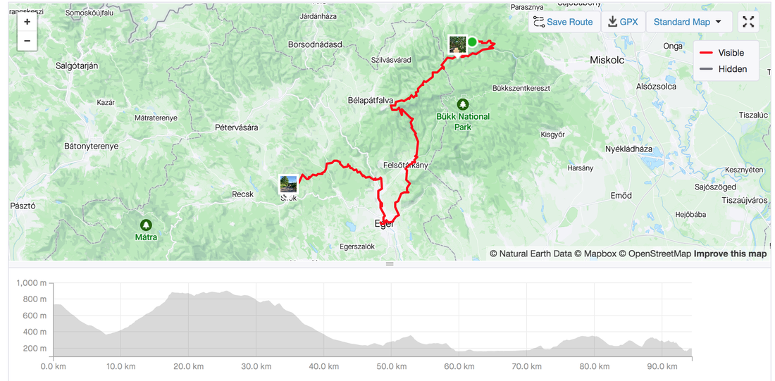
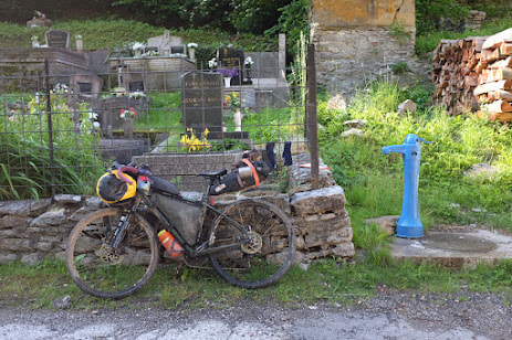
 Day 3 - Eger and Sirok Hungarian Divide - Day 3 Distance: 94.4 kms ,Elevation: 1,546 metres Highlights:
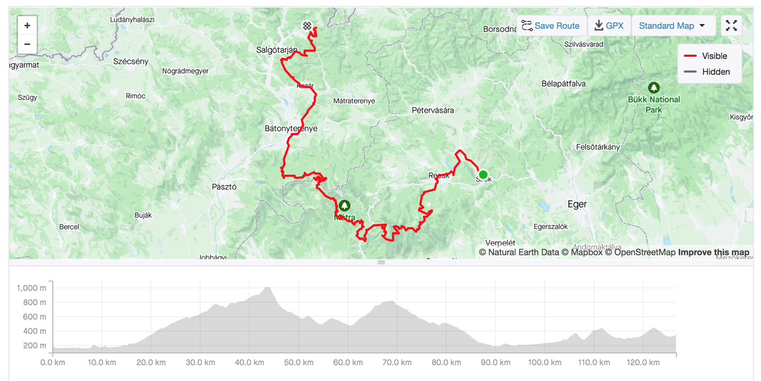
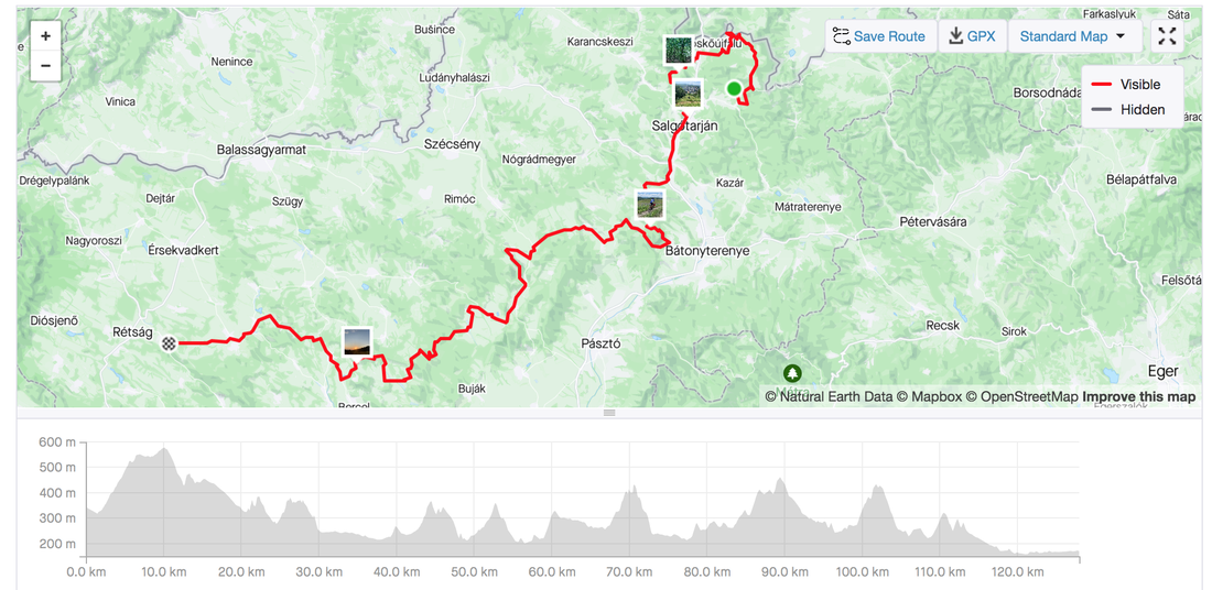
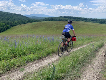
 Day 4 - Matra and Zagyvarónai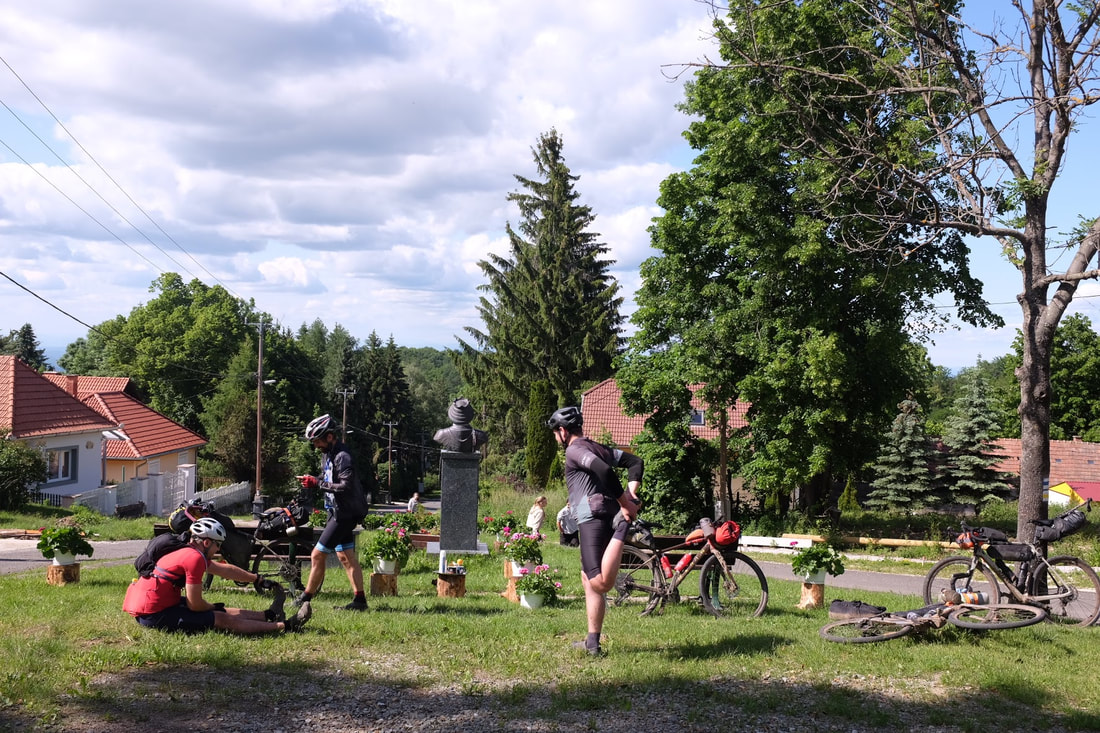 Hungarian Divide - Day 4 Distance:127 kilometres Elevation: 2,314 metres Highlights:
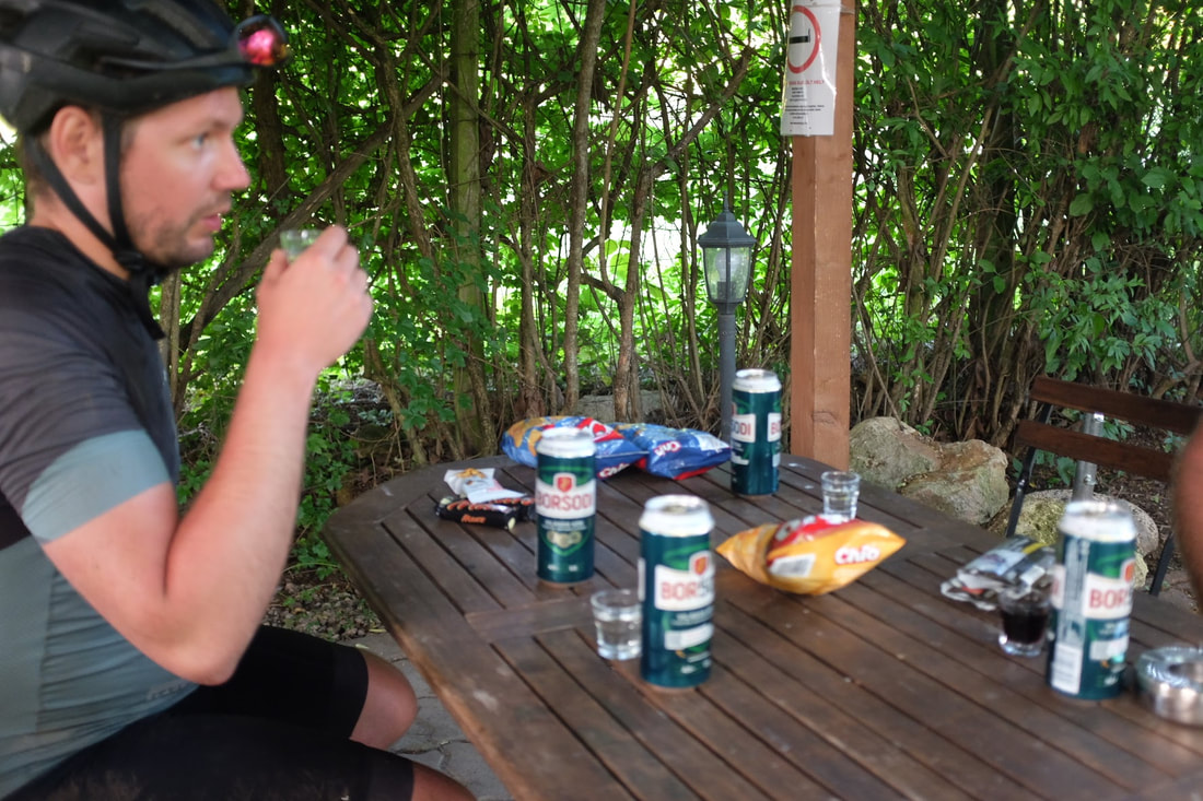
 Day 5 - Salgótarján and Bánk Day 5 Statistics Strava: Hungarian Divide - Day 5 Distance: 128 kilometres Elevation: 2,407 metres Highlights:
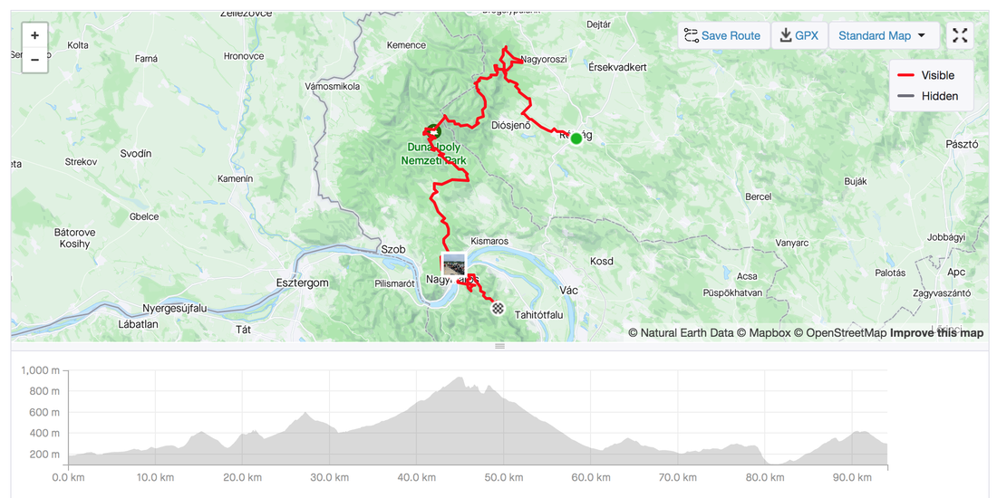
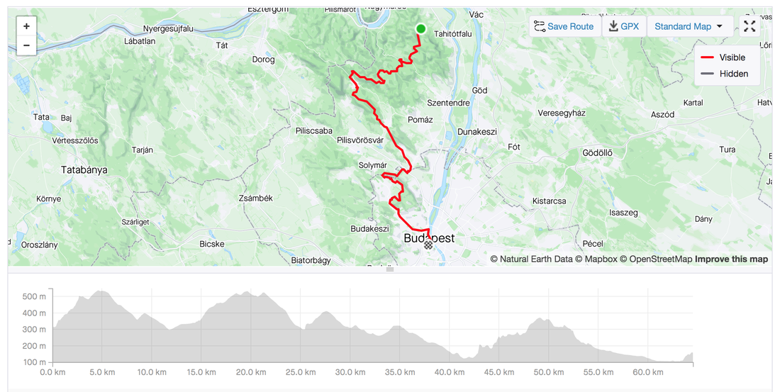
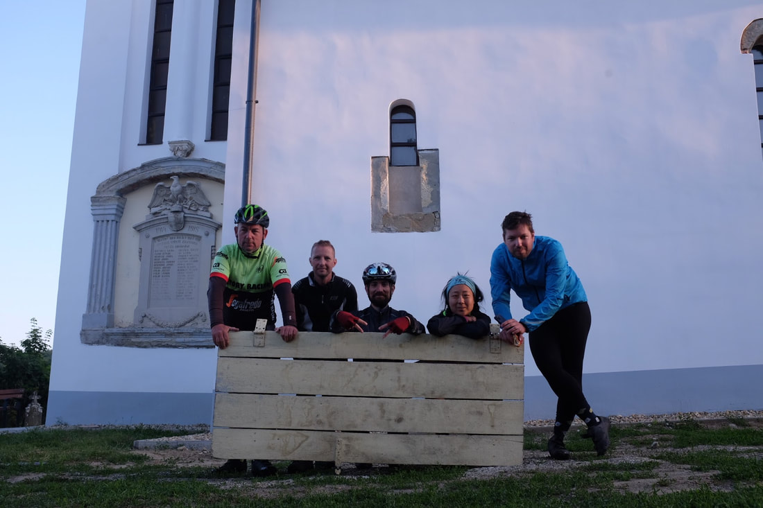
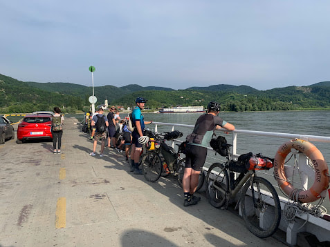
 Day 6 - Visegrád and Imre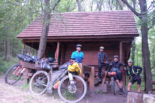 Hungarian Divide - Day 6 Distance: 94 kilometres Elevation: 2,125 metres Highlights:
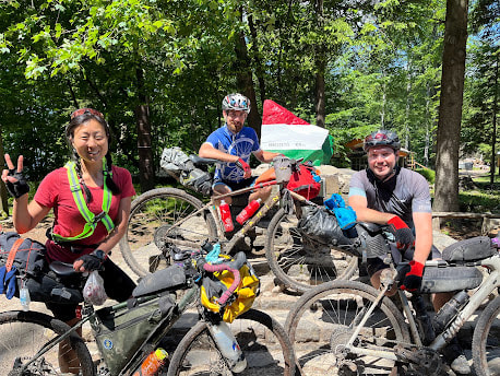
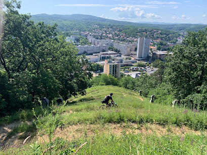
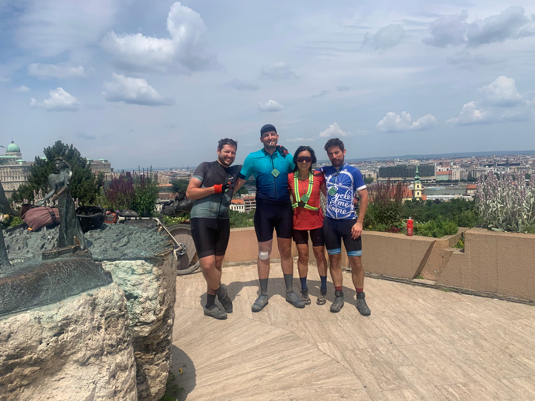
 Day 7 - Filozófusok kertje (Philosopher's garden) Budapest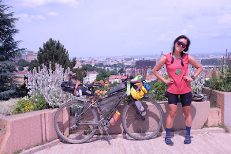 Hungarian Divide - Day 7 Distance: 64.5 kilometres Elevation: 1,248 metres Highlights:
Inspiration from this Bikepacking article.
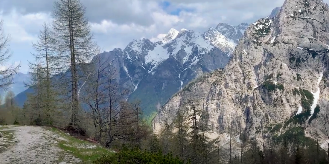
Day 1 - Stol mountain climb from Cividale, Italy to Bovec, Slovenia
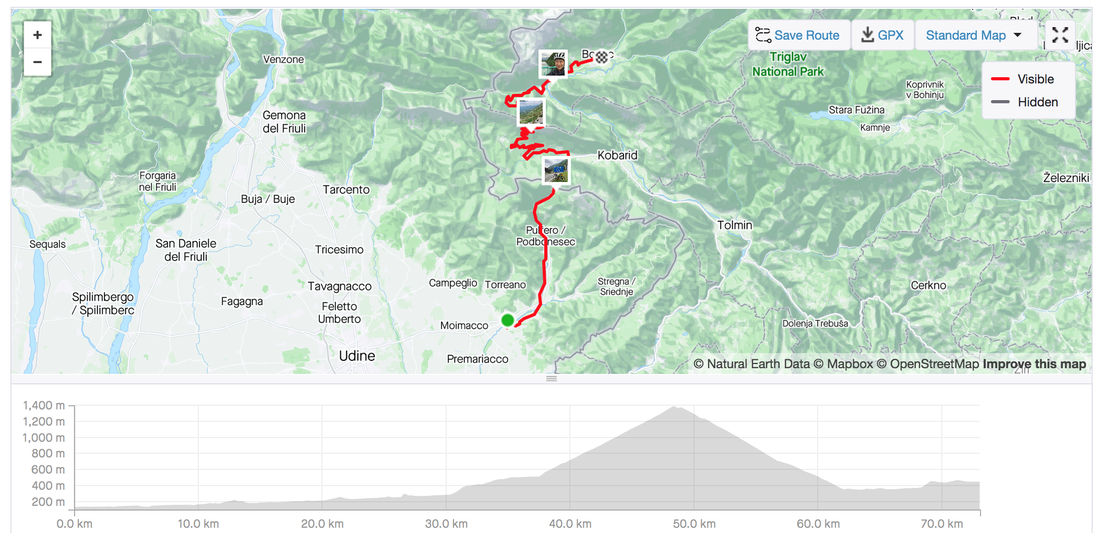
Day 2 - Vrisic pass with 50 switchbacks to Kranjska Gora
Strava link Distance: 62 kilometres Elevation: 1,566 metres 
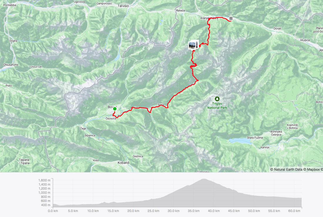
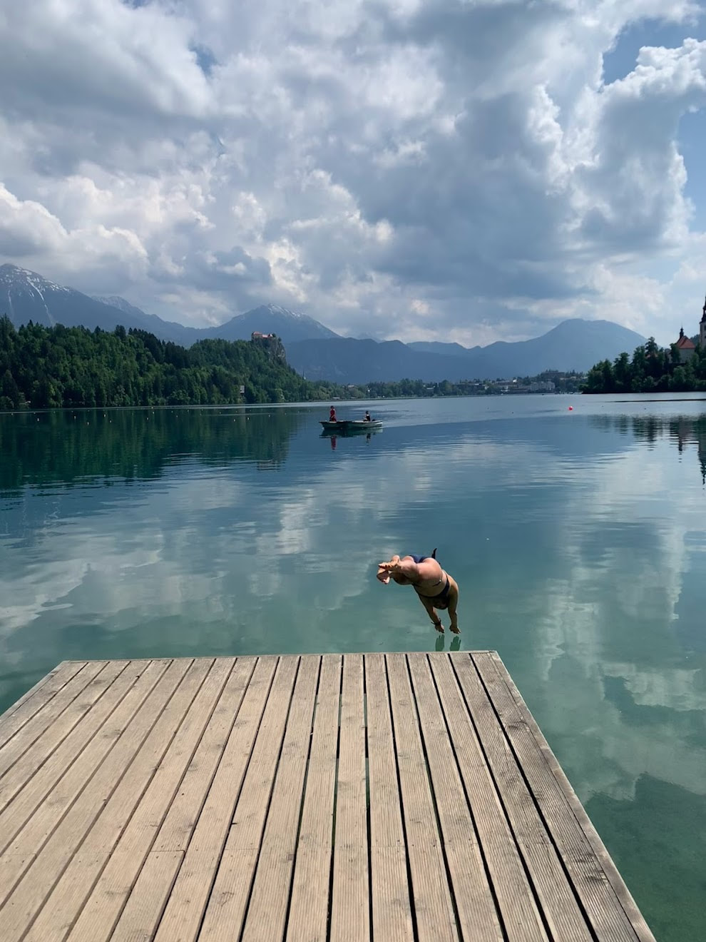
Day 3 - Around Triglav mountain to swims Lake Bled and Lake Bohinj
Strava link Distance: 99 kilometres Elevation: 825 metres 
In response to the Attack of the Buns is the reverse route, the Easter Buns (heart) attack. The search for all the Buns, Easter treats and heart attacks. What we actually found were lots of Easter bunnies, and lots of mud. 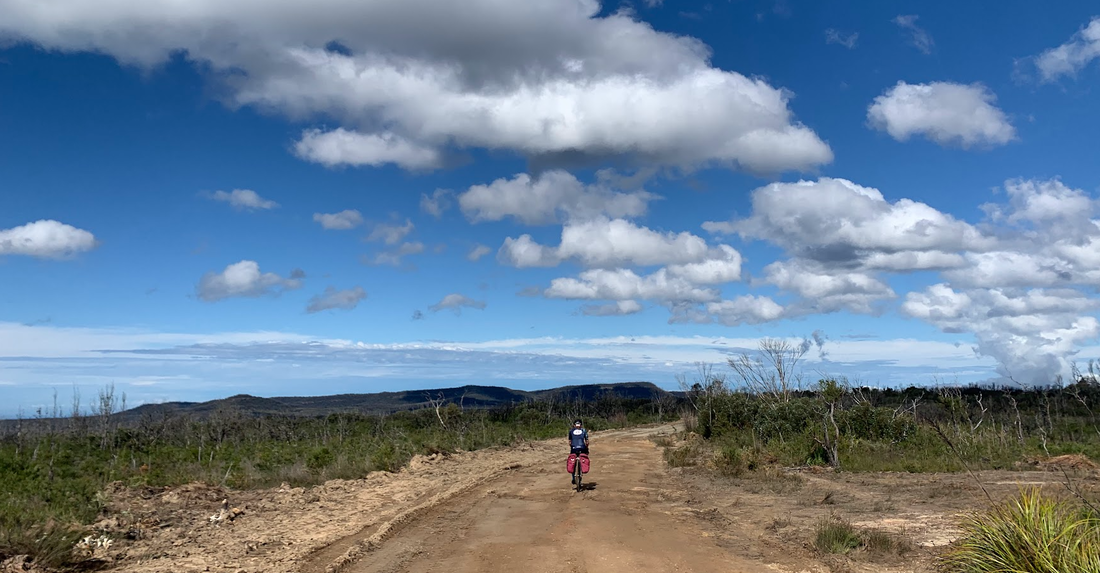 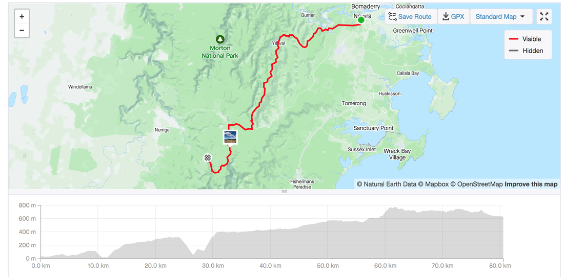 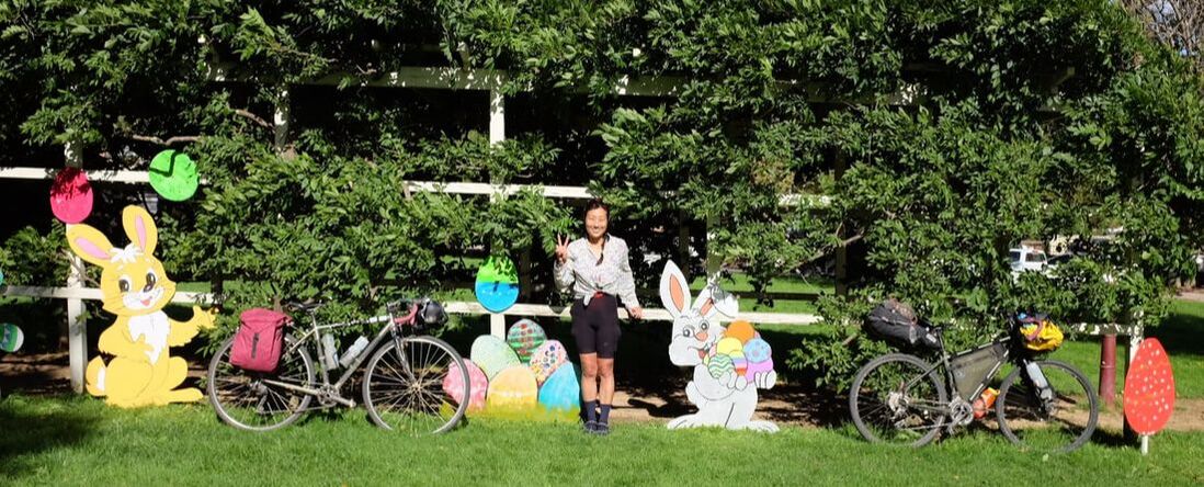 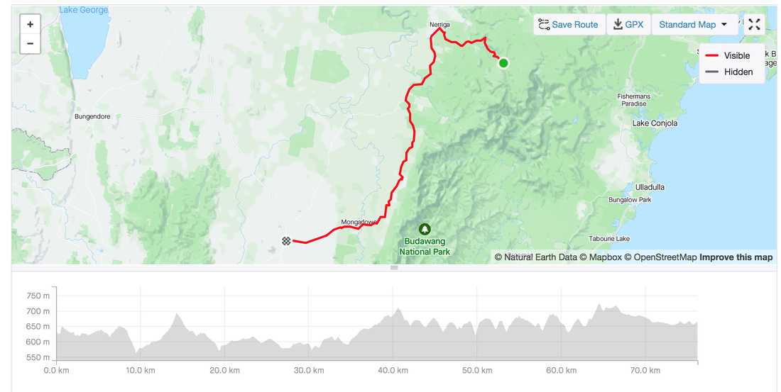  Camping by Shoalhaven river, 10 kilometres from Braidwood 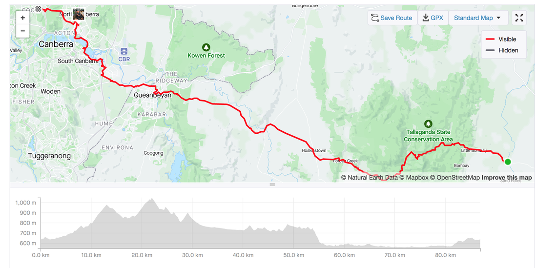  When everyone was flying as far away as possible from Australia because it was the first Summer of international travel after COVID lockdowns, Jacqui and I chose the closest country possible. Some people thought we were wasting our first freedom summer in New Zealand. I'm sorry friends but NZ has won my heart and I've come back with the passion of a born again Evangelist wanting to preach about all its beauties. The endless mountain ranges, lakes that are all shades of blue, and without the dangers of animals that can kill you. Inspired by my friend Neil, who had completed the Tour Aotearoa before COVID, we had planned a version of the TA that started in Queenstown starting 26 December. A day after Christmas. What I found out 2 weeks before the trip is that New Zealand becomes a campervan paradise during Christmas. Read: cycling on the road out of Queenstown would be a nightmare. Luckily a good Kiwi friend spotted my predicament on the TA facebook forum and suggested the Sounds to Sounds route by the same Kennett Brothers of TA instead. After watching this video we were sold and Sounds of Summer was born. The Route We tweaked the original Sounds of Summer route so we could start in Queenstown and end in Marlborough sounds. Unfortunately we had to miss out on the Milford sounds, but we'll save that for another trip. With the new plan in place the Sounds of Summer tour was set.
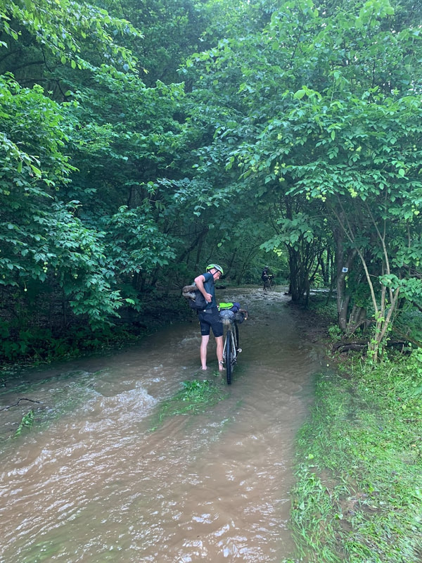
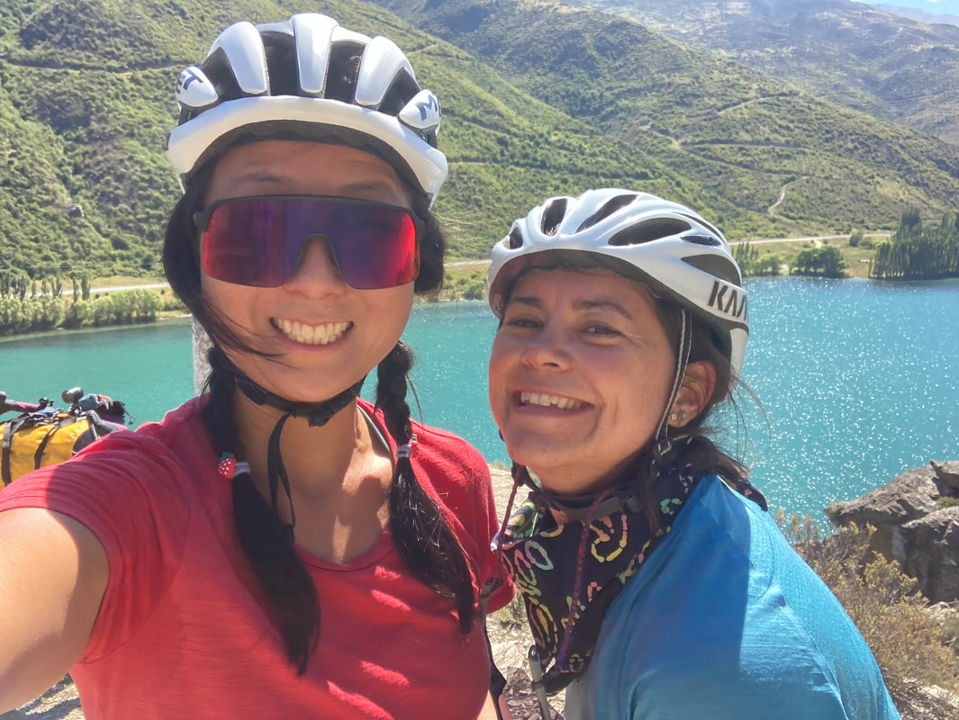
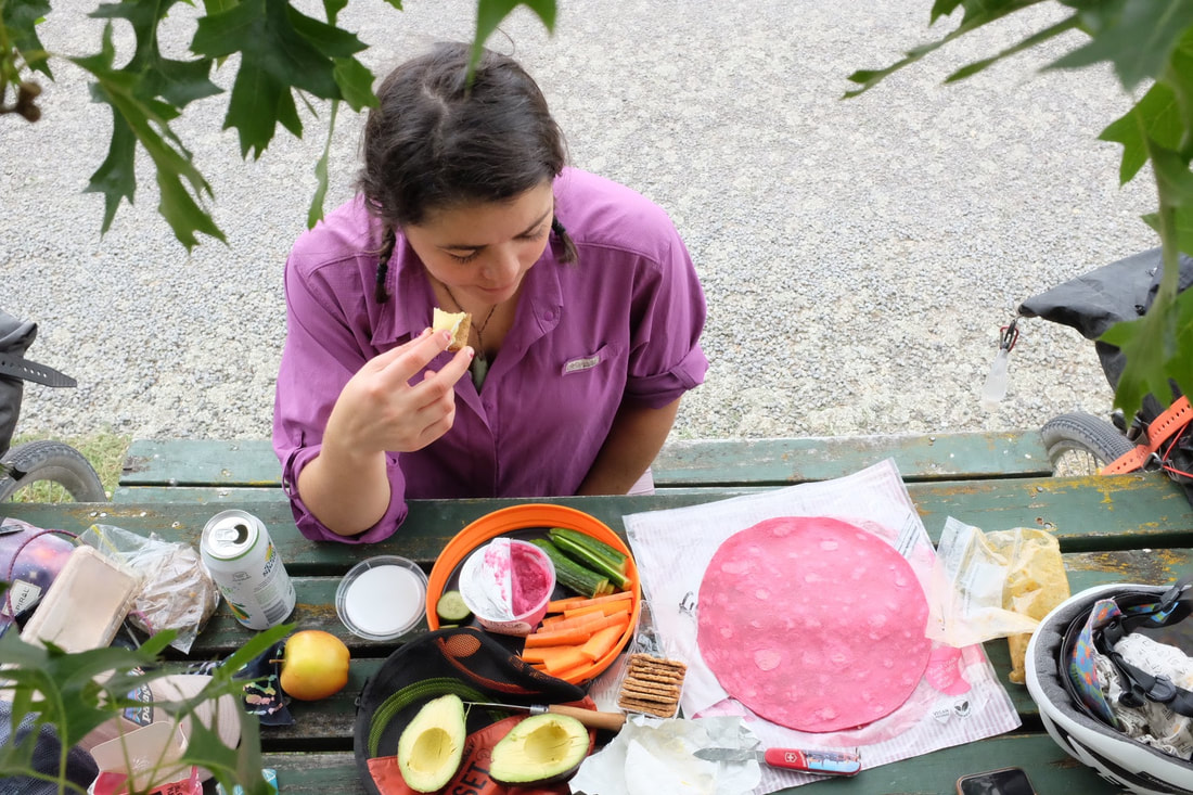
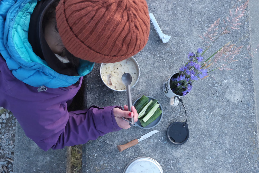
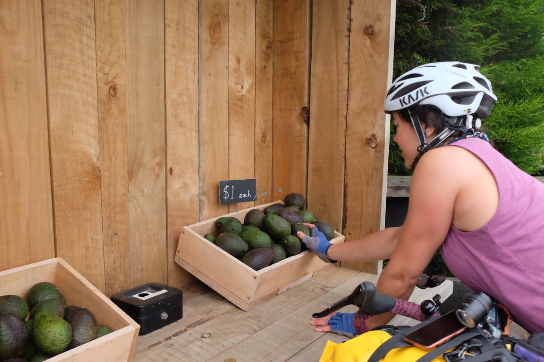
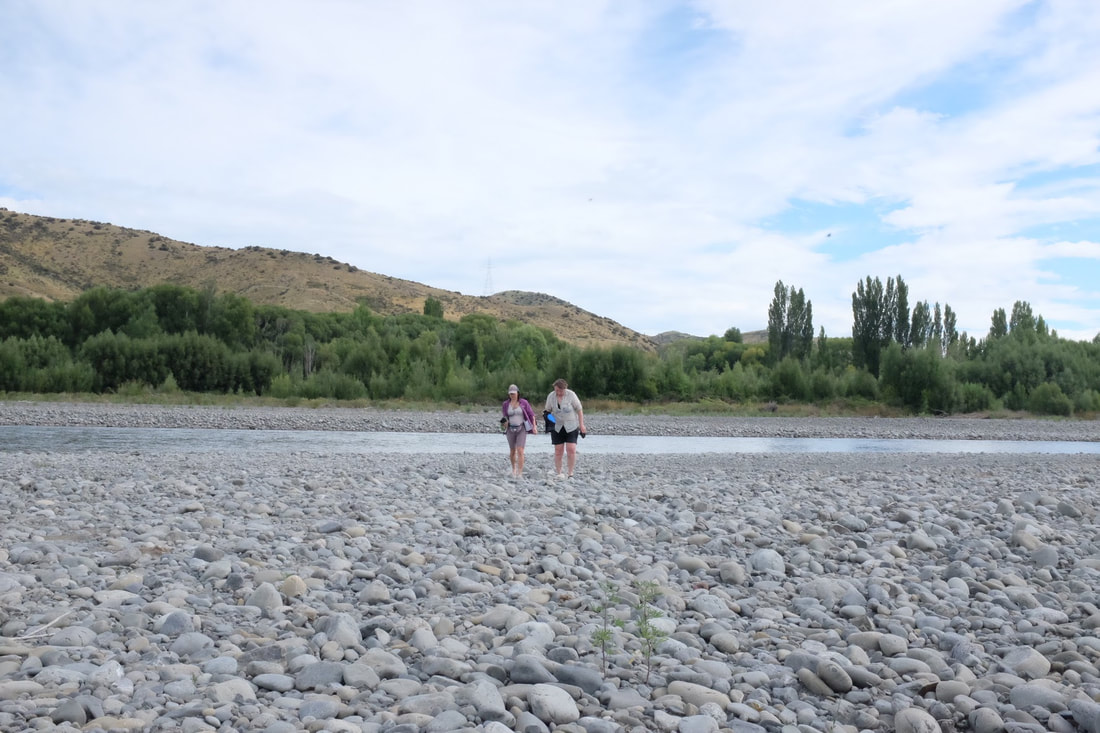
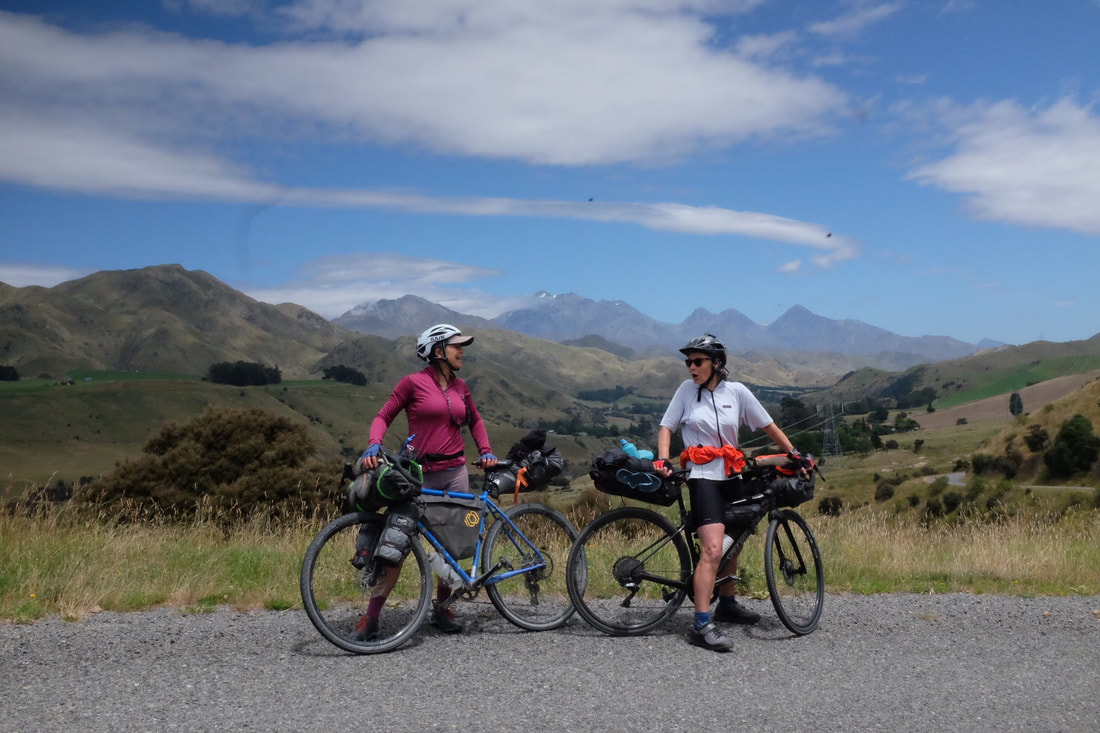
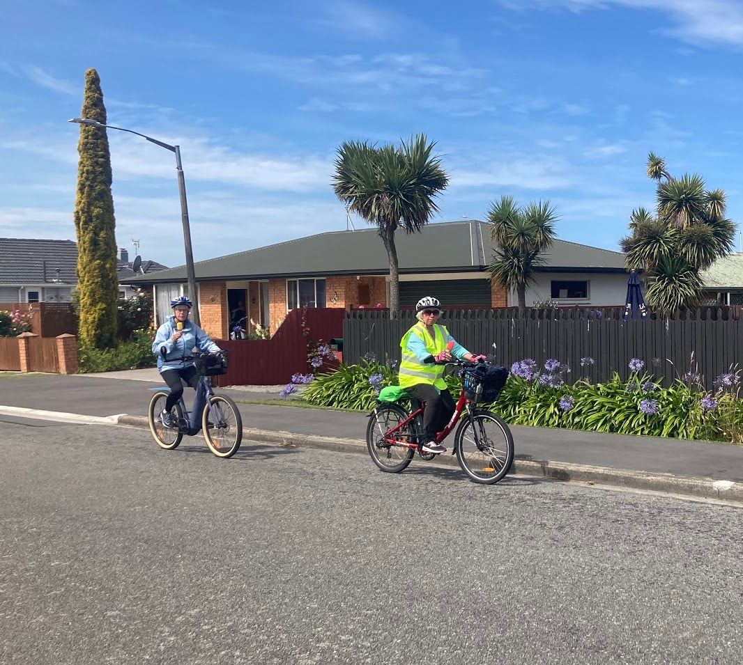
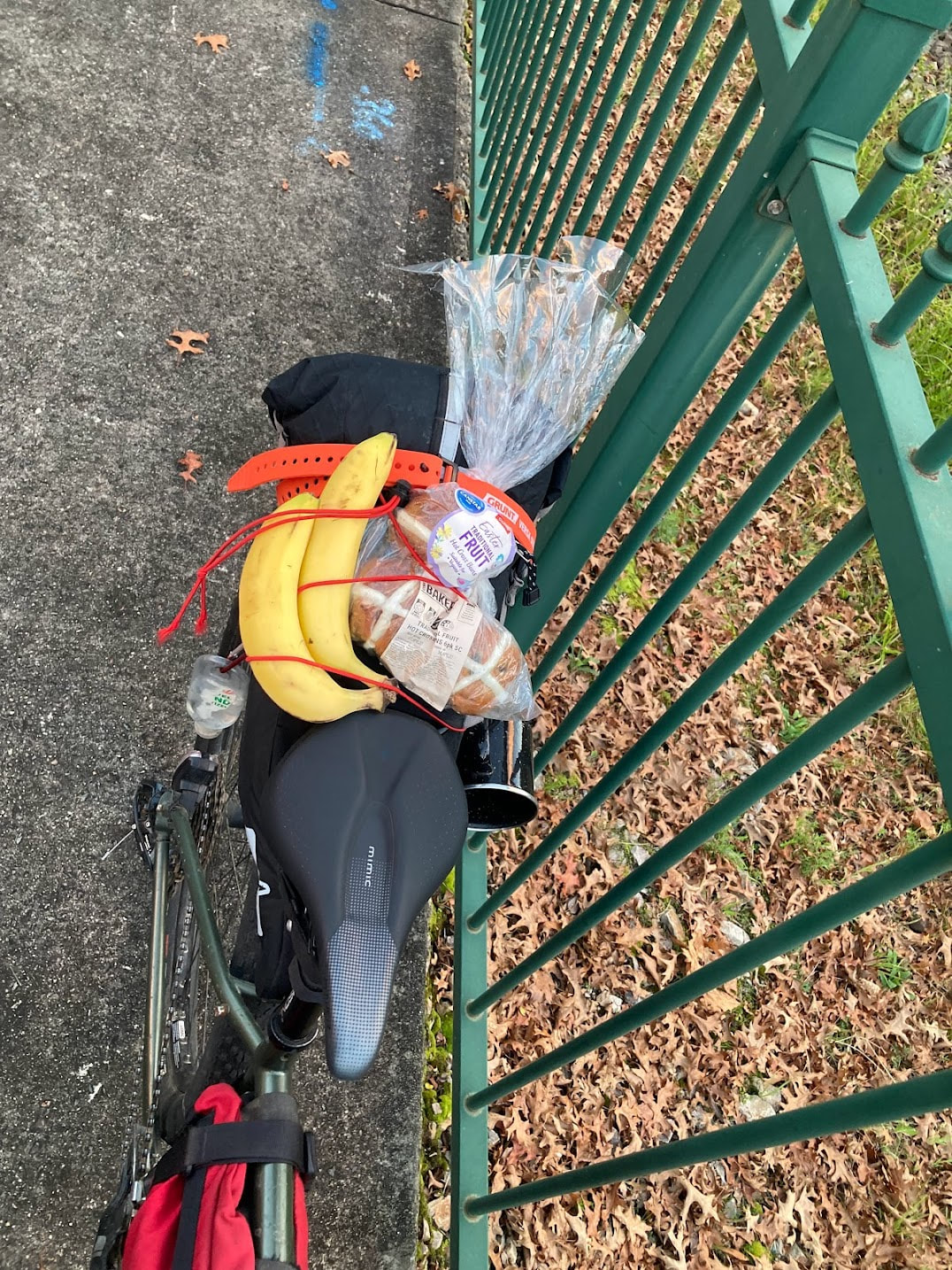
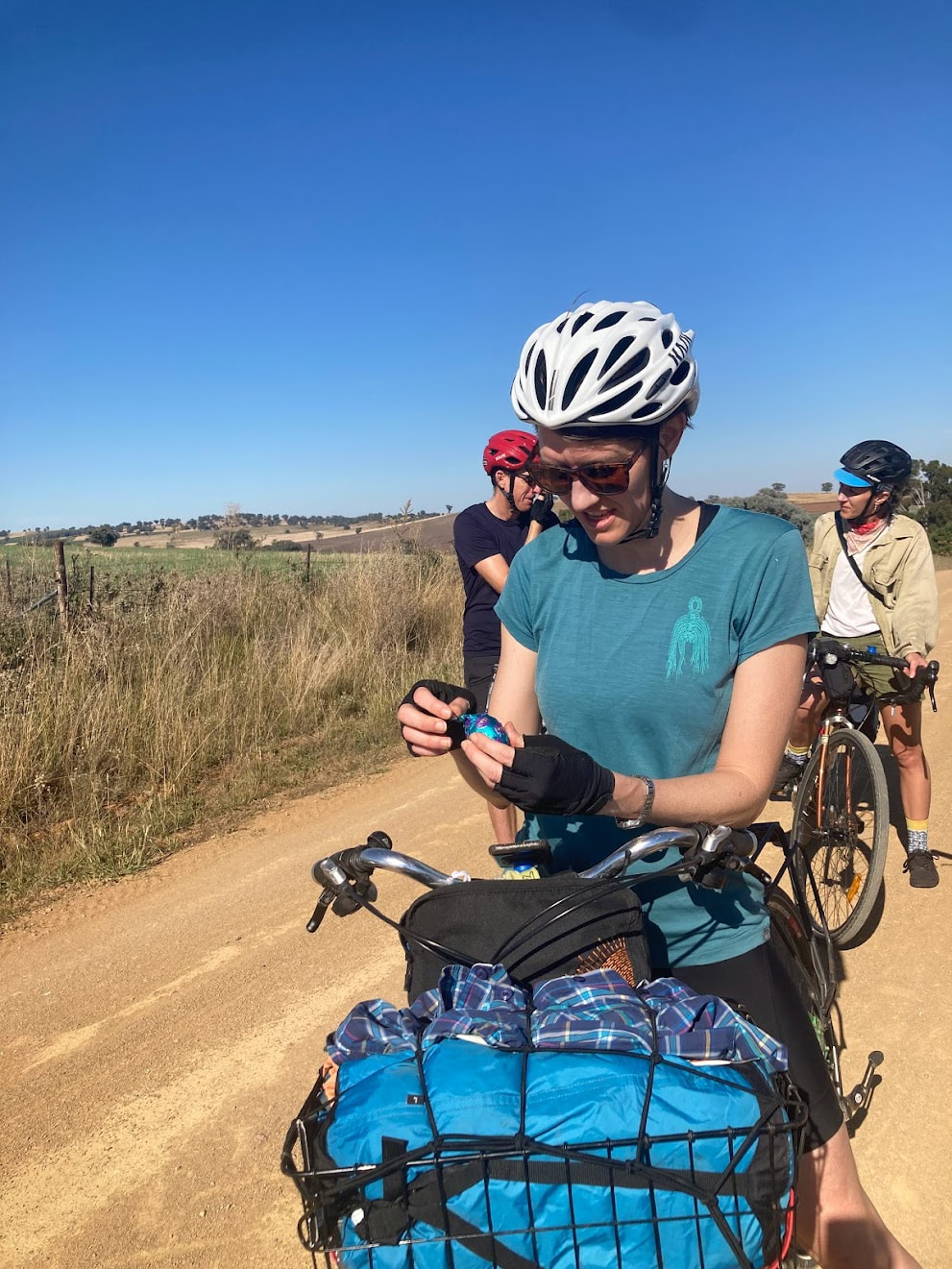
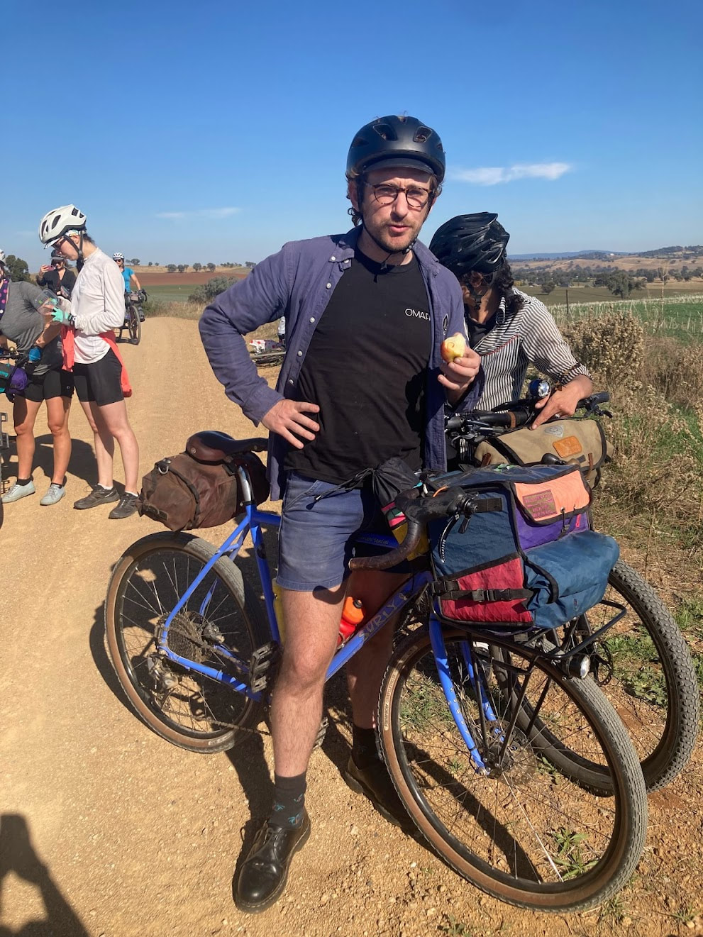
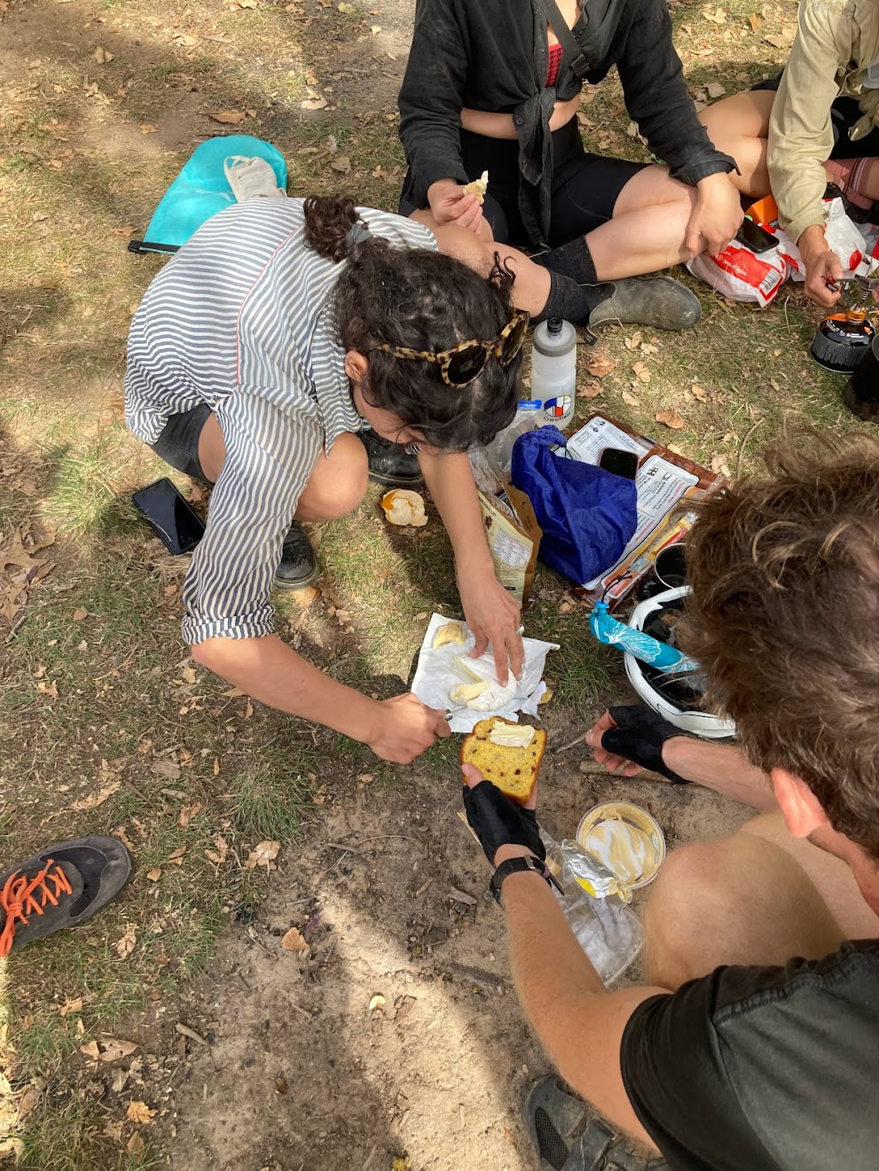
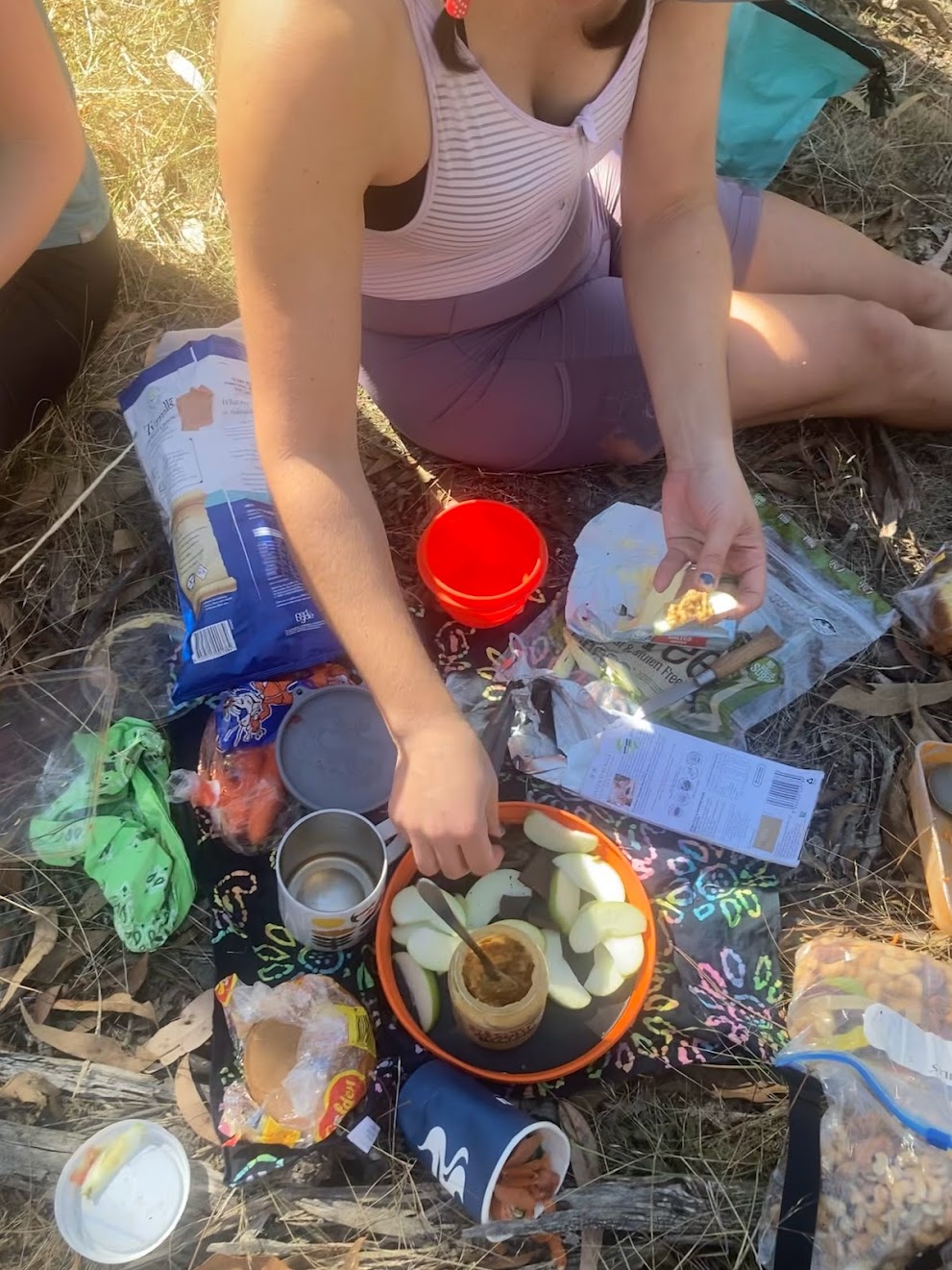
Day 1 - Queenstown home to bungee jumping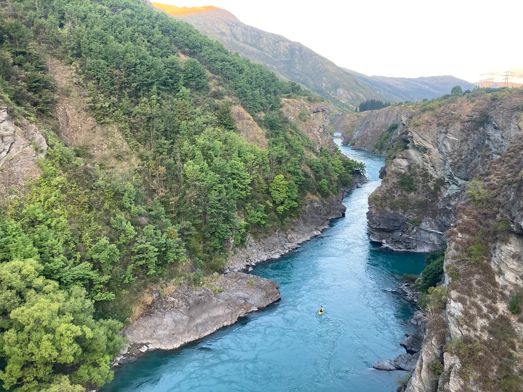 There aren't many cities where you can set up your bicycle and ride out on a cycleway from the airport. The ride to camp was mostly on a trail that runs along a pristine river and passes over the deep gorges. Day 2 - Lake Dunstan Trail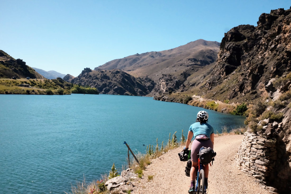 The Lake Dunstan trail opened up in 2021 and it's easy to see why it's so popular with all different types of people. It feels my heart to see young girls, older people and everyone in between out having adventures. The trail is busy and full of happy faces. From the trail we connected onto the Otago rail trail and steadily made our way to camp at Oteuheau resting at the pub along the trail to chill and cool down. 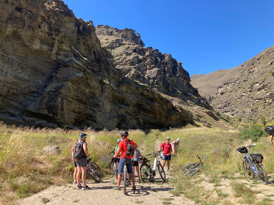 Day 3 - 37 river crossings and AorakiStart: Oturehua Via: Oteake Conservation park End: Omarama Distance: 82.54 Elevation: 1,073 metres Strava link 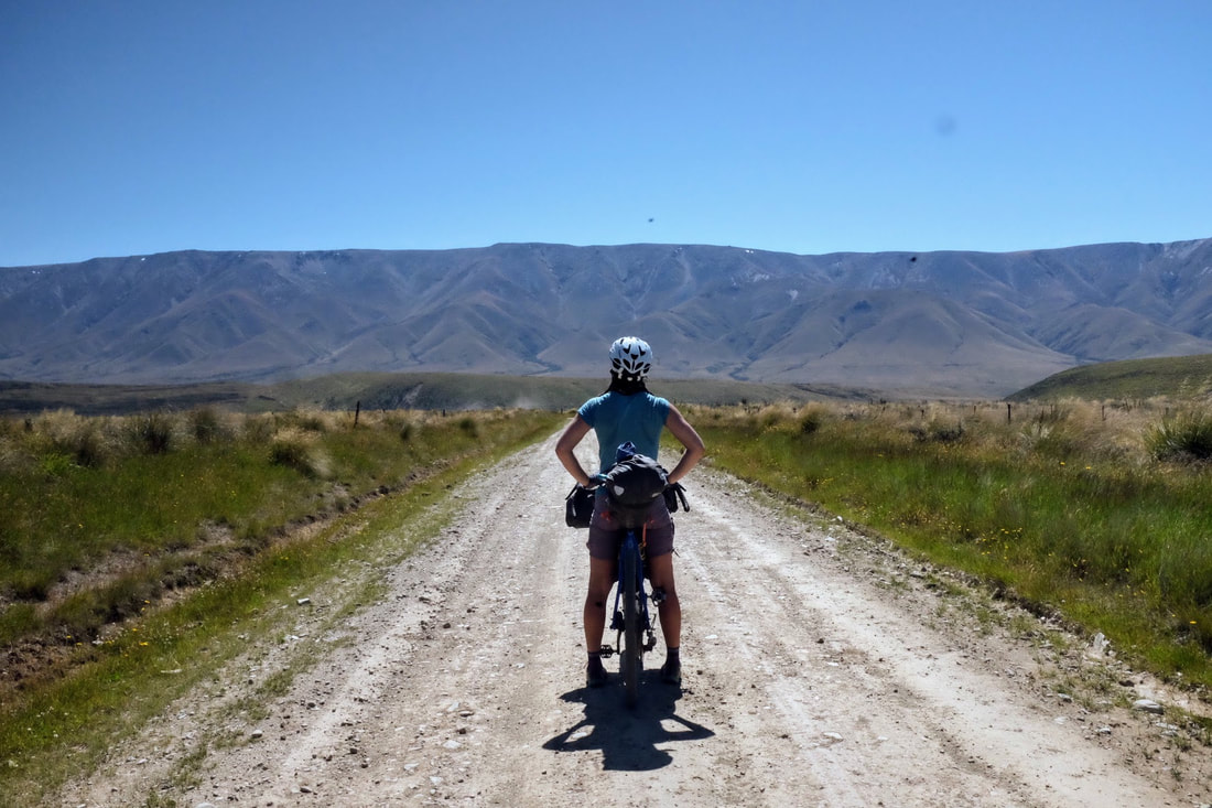 Today we hit our first taste of wilderness and the Easterly. The Easterly headwind the first challenge on the trip but because we were so excited about getting into the wild I don't think our moods were dampened much. Enter the Oteake Conservation park and its 37 river crossings. By the 20th crossing I was regretting not changing into sandals and walking through in my shoes. No bother I powered on with wet soggy. We stopped at the hut for lunch and a vey refreshingly river swim before the hike-a-bike up to Omarama saddle. No one warned us that the saddle was the gateway to one of the stunning vistas of the Aoraki (Mount Cook). It was one of those beautiful views and sensations that instantly triggers the tear ducts. 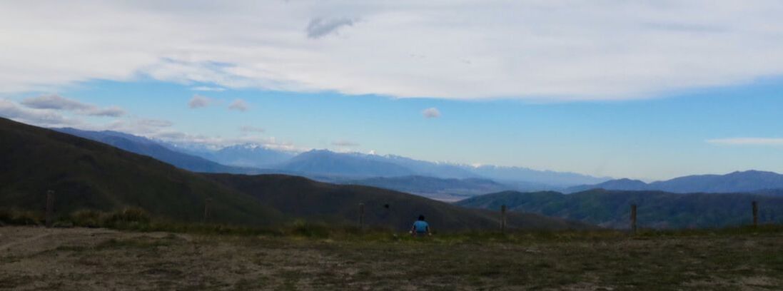 Day 4 Lake PukakiStart: Omarama Via Lake Ohau, Alps to Ocean route End: Lake Pukaki Distance: 86 kms Elevation: 751 metres Strava link 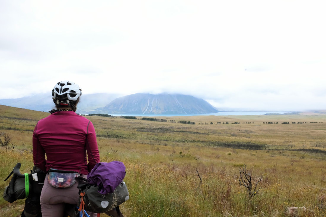 Day 5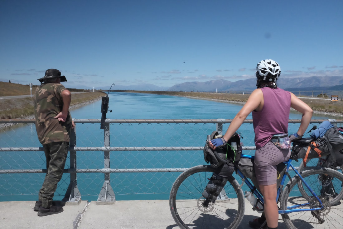 The mountains slowly started looming closer and closer as we rode along the canals. 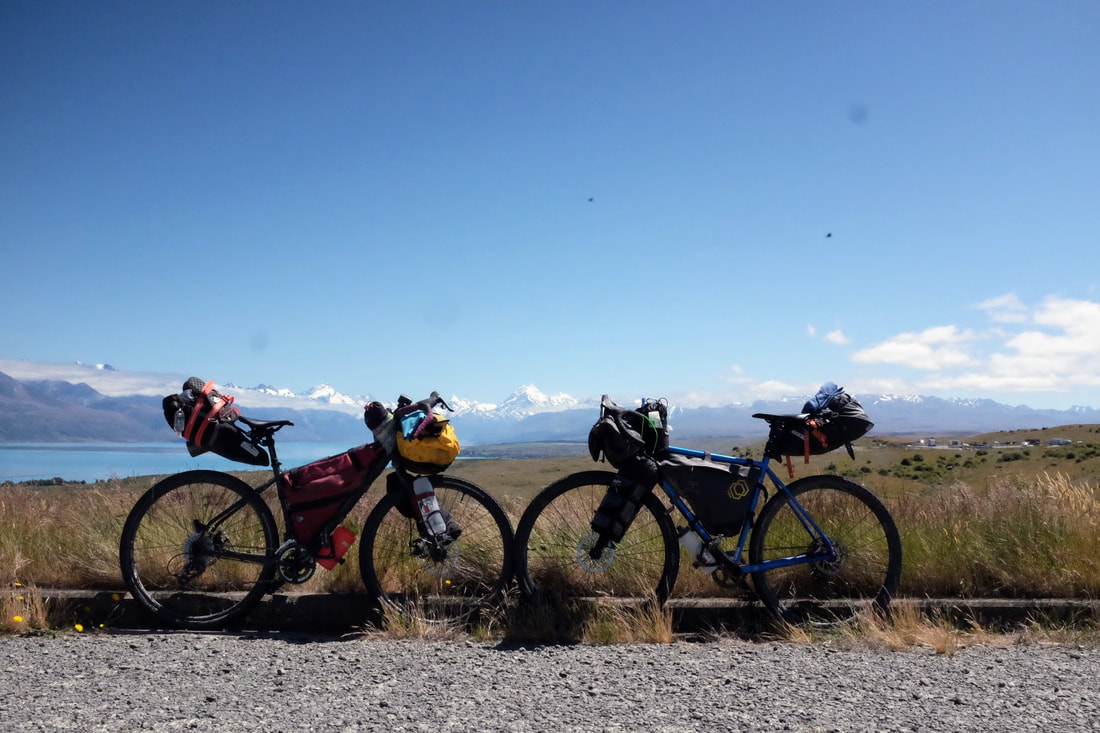 Day 6 - New years cleansing in Lake TekapoStart: Lake Tekapo End: Geraldine Distance: 111.4 kms Elevation: 953 metres Strata link Nothing beats a new years full body cleanse. 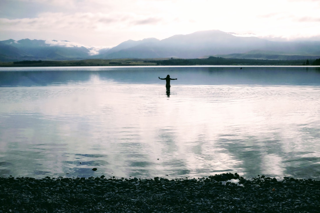 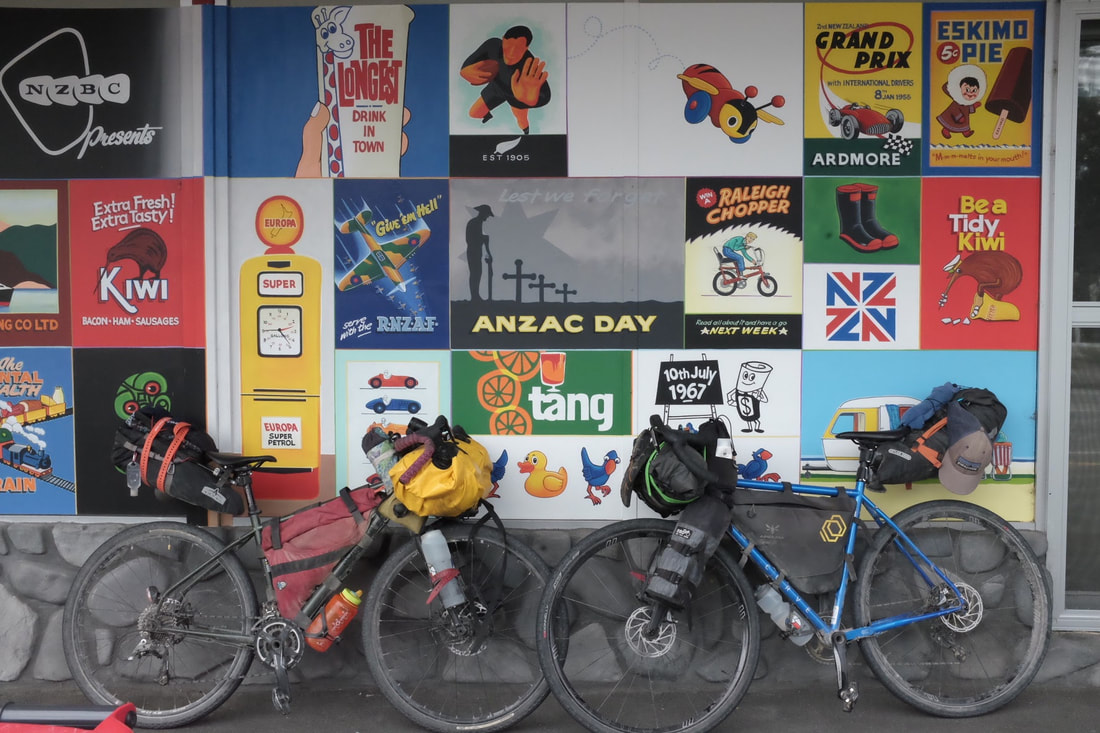 Day 7 - Ice cream for breakfast, fried pineapple for lunch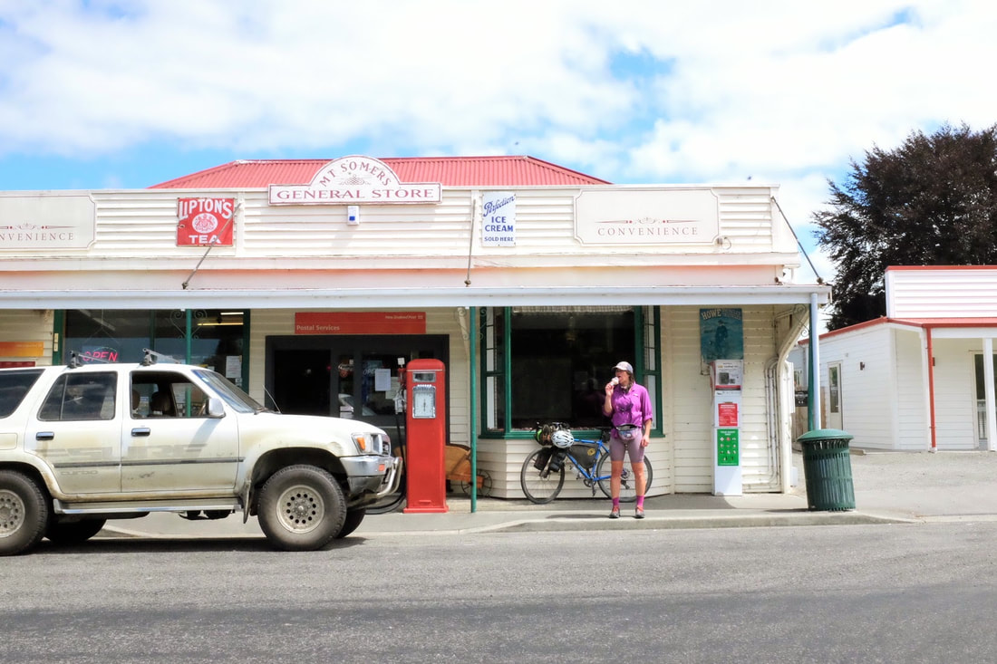 Check out that gorgoues ice cream powered machine on the right. Hokey pokey ice cream to be exact. 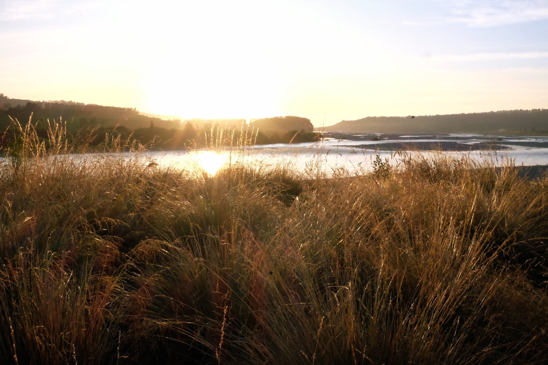 Day 8 Christchurch quake cityStart: Rakaia Gorge via Rolleston End: Christchurch Distance: 101.05 kms Elevation: 202 metres Strava link Oh headwinds of Christchurch you tested me. 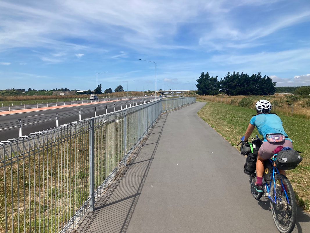 Day 9 - Step back in time with Amberley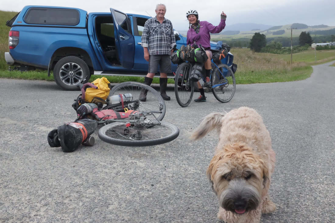 Phil and George were the mascot we needed after riding the notorious Rockwood road. Rockwood road broke us a little with its shingles on climbs plus the heat. 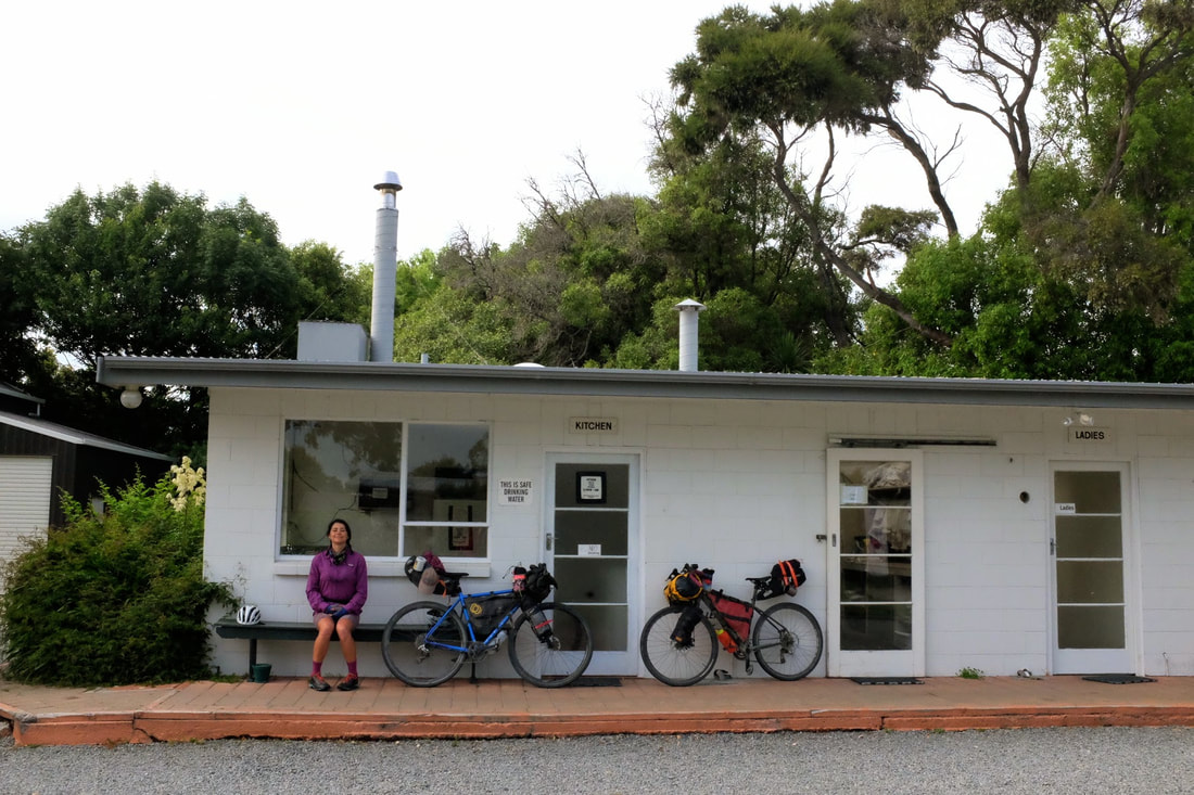 Day 10 CulverdenStart: Amberley End: Culverden Distance: 96.88 kms Elevation: 954 metres Strava link 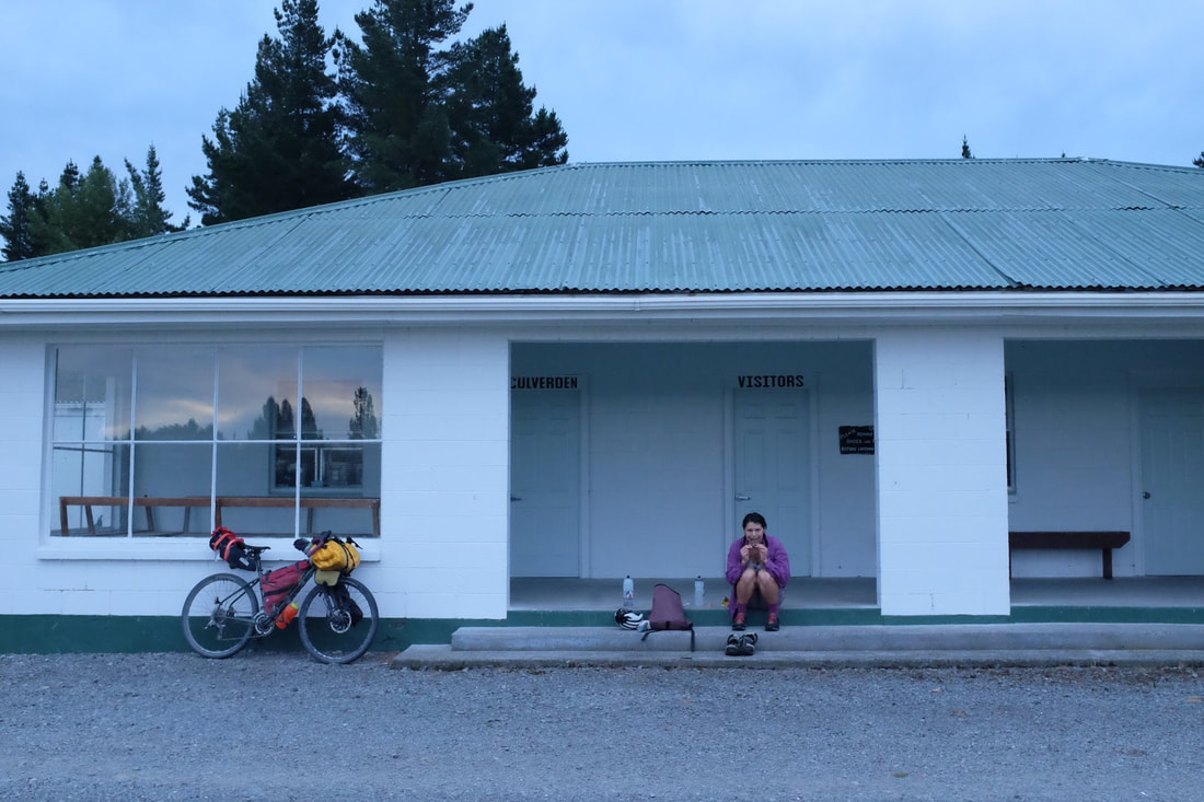 Was a little sad riding through endless agriculture fields of green knowing they were being watered by the water siphoned from the nearby. 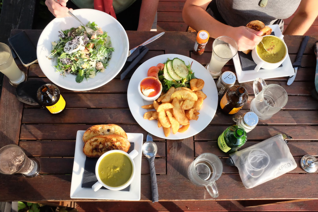 Day 11 - Rest day Hanmer springs pamperStart: Culverden End: Hanmer Springs Distance: 37.21 kms Elevation 324 metres Strava link  The only way to Hanmer Springs is along the state highway, so Jacqui and I made a pact to hit it mega early. We were rewarded with a day of lazing about, walking, and soaking in the minerals at the Thermal springs-cum amusement park.  Day 12 Jollie's pass One way to heat yourself up is to just take make a cup of tea and toast your toes too. 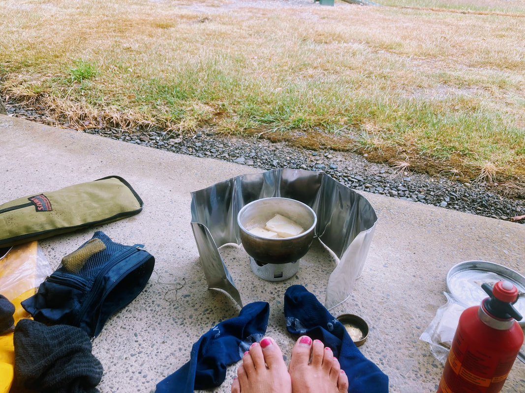 Day 13 - Molesworth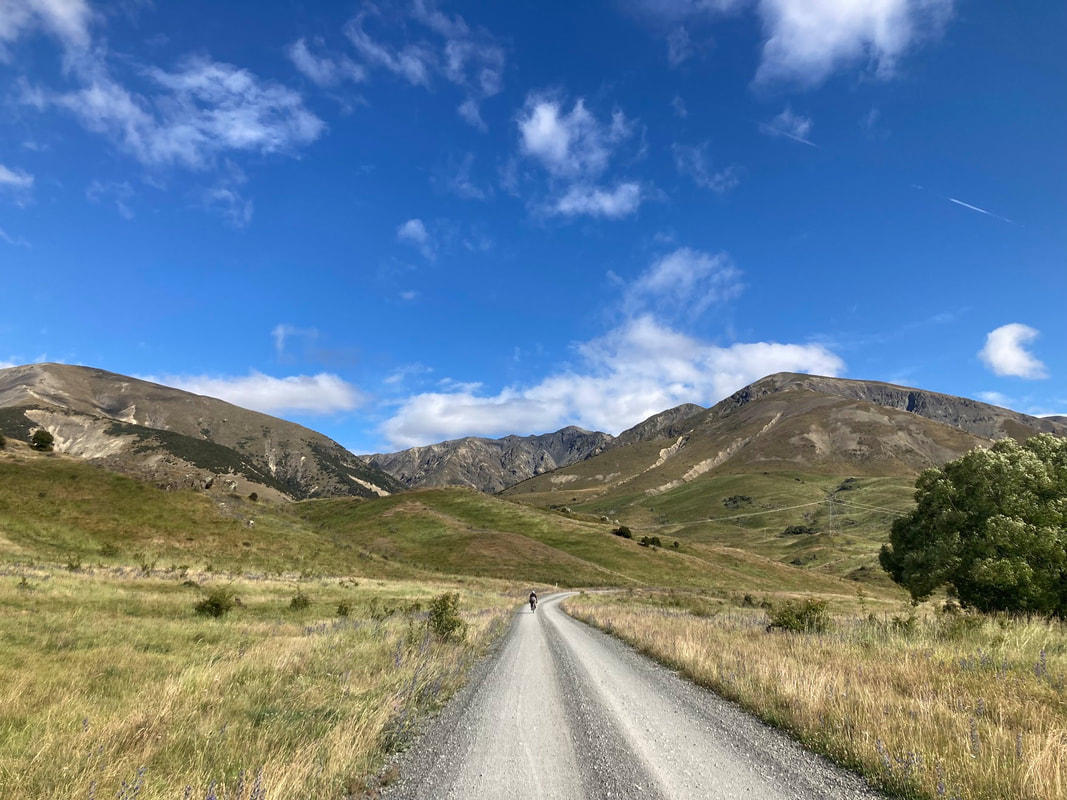 Day 14 - Marlborough sounds finale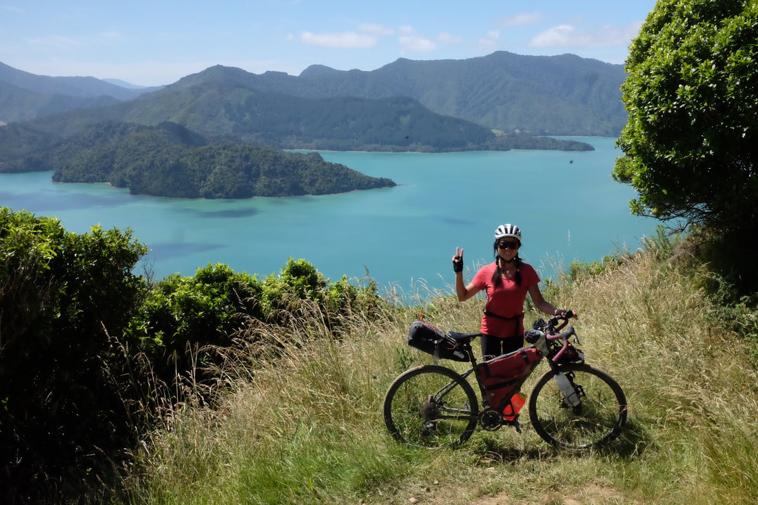 The fuelCarbs in energy out. The most common question you get asked when you're a vegan bikepacker is how do you carry all your food. It can be complicated so we took the hassle out this time and treated ourselves to dehydrated meals. I am so grateful for those packages of flavour and goodness. Some nights we arrived at camp after 9 and all we had to do was boil some water to have a hearty feed. Then in town when we had the chance we would splash out on a decent feed. My favourite dehydrated meals would be: Laksa, minestrone soup My new found snack favourite: Snacks: Trail mix, crystallised ginger, cliff bars, dates, The peopleAs much as I love the off road riding I love going through towns and the incidental encounters with other travellers. Sometimes those encounters are long enough to share their story, a meal, a laugh, words of advice, a swim or even as simple as a smile with 2 grandmas riding ebikes eating ice-cream. In clockwise order. The Orange and Villages Bike Trail is a tour of Central West New South Wales through the traditional lands of the Wiradjuri people. If you're looking for a bicycle tour full of great country towns, lots of country hospitality, food, booze (except the one pub that closed early booooo), without the need to carry a tent this is the tour for you. 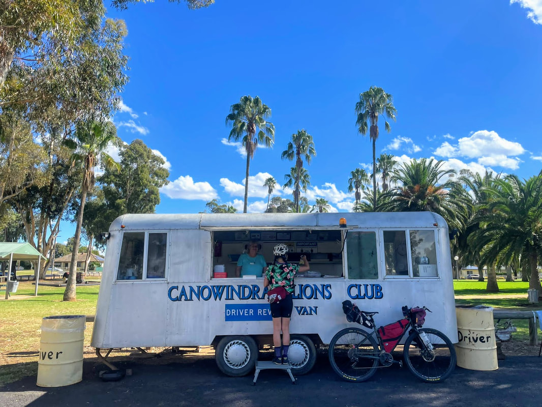  It's Easter so my usual hash brown quota has been replaced with hot cross buns and easter eggs. Quick stats
Hot tip: Massala Library, the Indian restaurant in Cowra is outstanding. Leftover curry is a delight in wraps the next day.  It's just dreamy out there. How to get there: We drove out there as the trains required packed bikes. Day 1 - Orange to Cudal via Molong (93 km) Day 2 - Cudal to Cowra via Canonwindra (90 km) Day 3 - Cowra to Neville (83 km) Day 4 - Neville to Orange via Millthorpe (85 km)  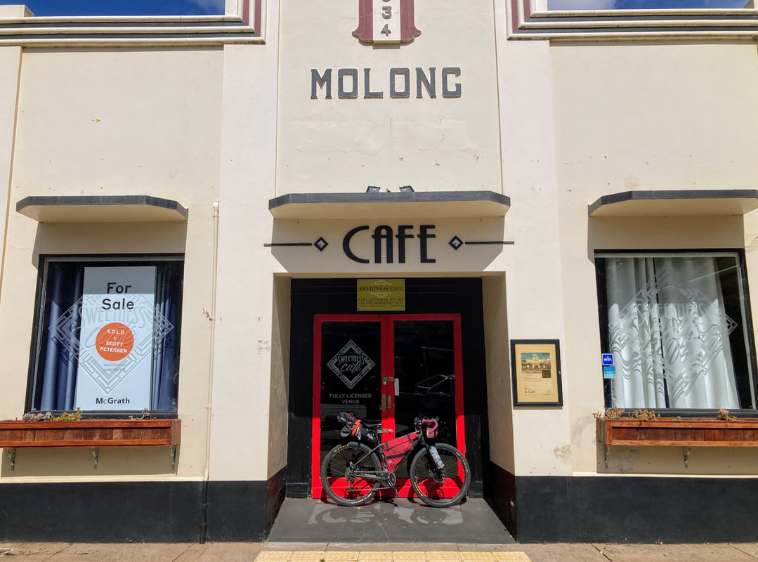 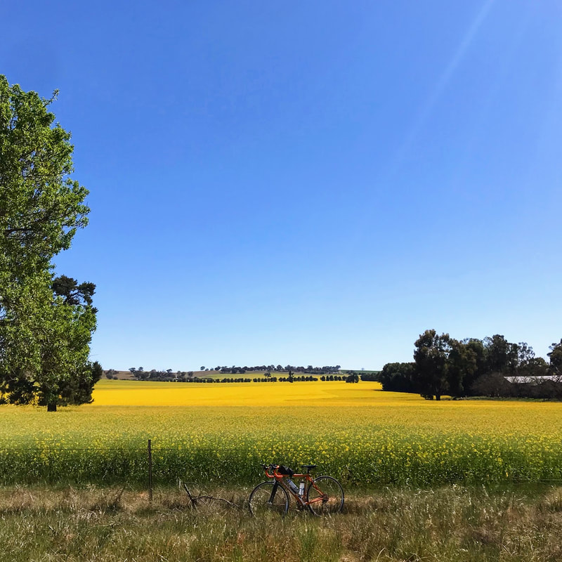
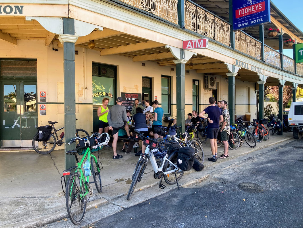
Wagga Wagga you did not disappoint. The first Gears and Beers festival I joined in October 2018 was in canola season, full of seas of yellow against a blue sky. This year the blue skies were out again no canola in March but the backdrop of the countryside was still just as stunning.
Saturday's mystery ride on that took us along the Wiradjuri walking track that is a 42 kilometre off road loop around the city. It is a walking trail that is open to bicycles. But warning that first climb can get your heart rate to 200 bpm (there is no shame in walking it). When you're not eating gravel you're on wide shared paths that connects you to the city. 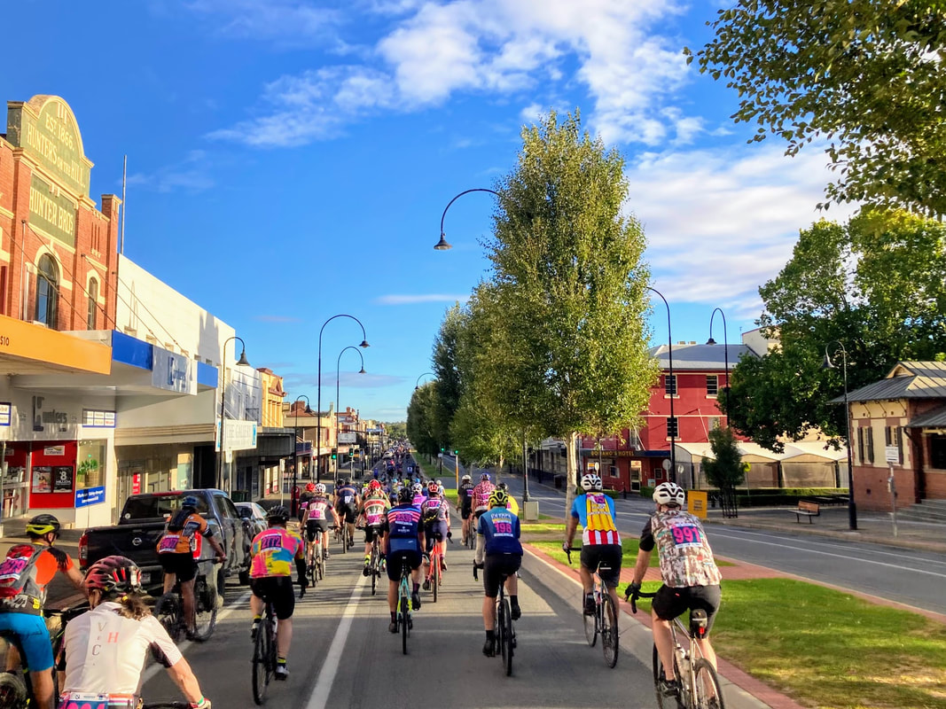
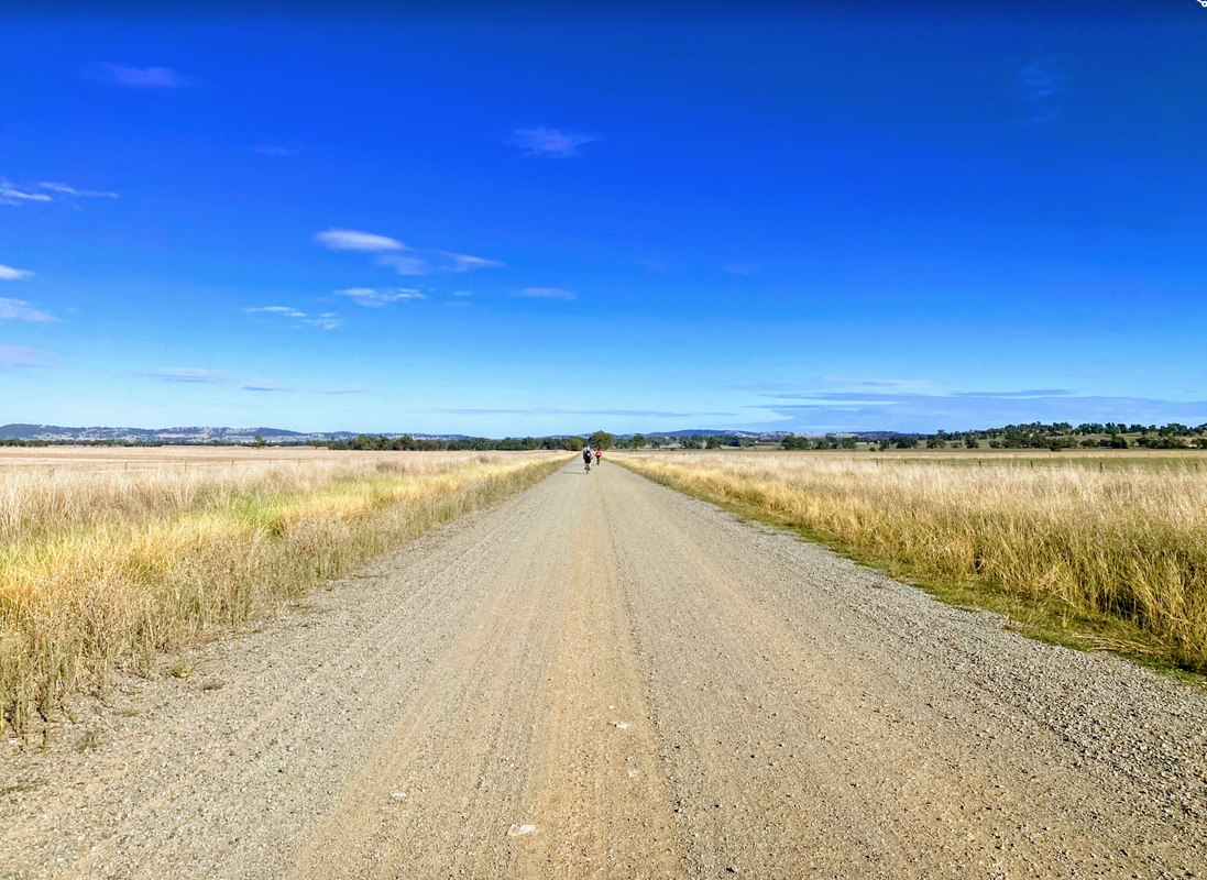
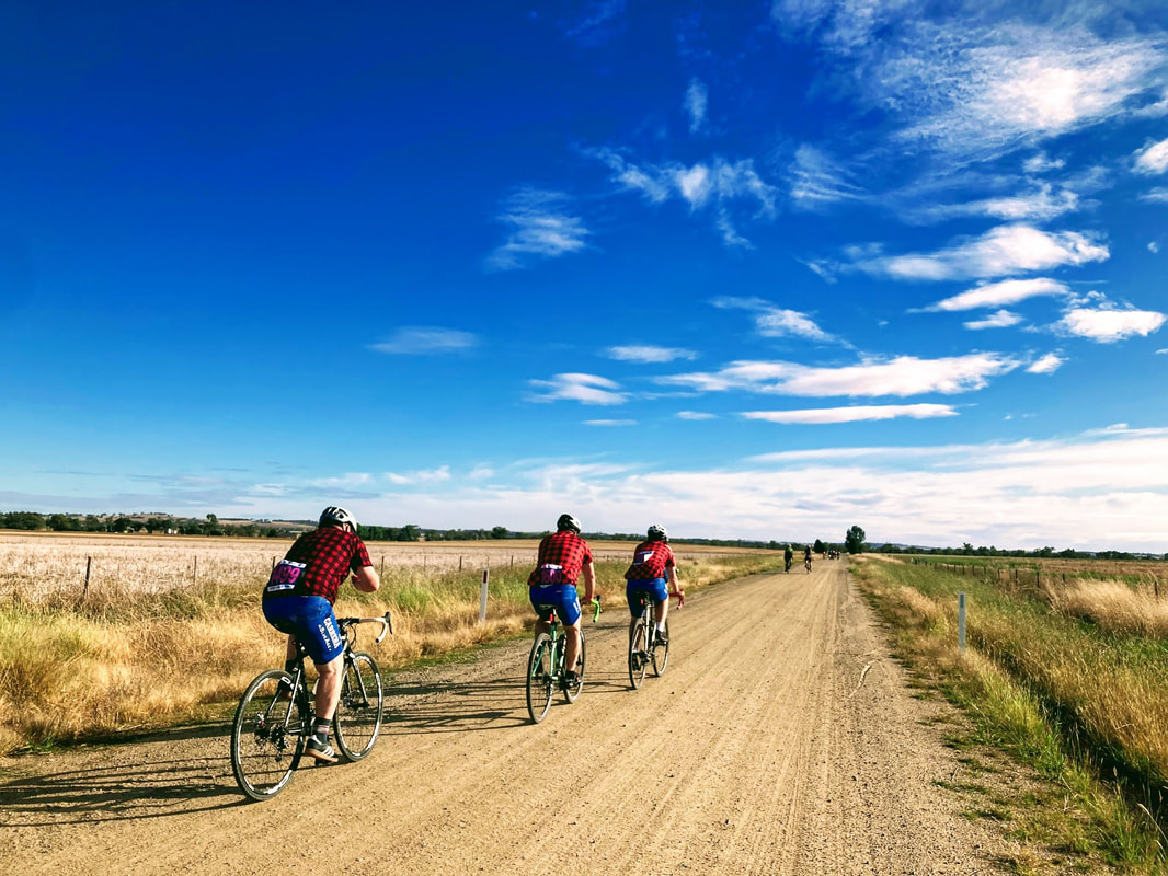
I won't lie, I'm a bit disappointed Sunday's Filthy 50 didn't get me more filthy but it sure was pretty out there so #noregrets. The fresh air (read lots of head wind) after a month of rain in Sydney is just what was needed.
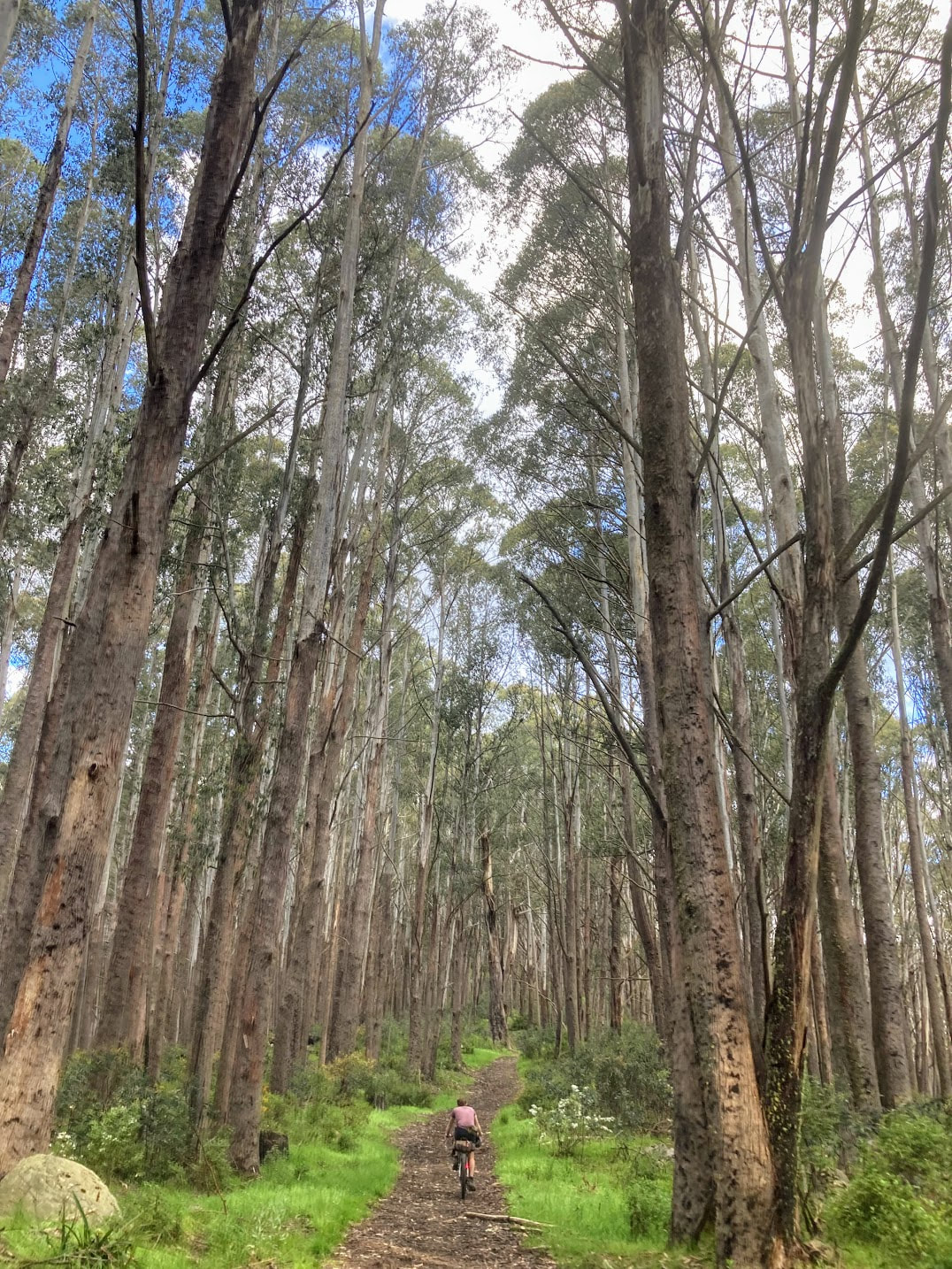
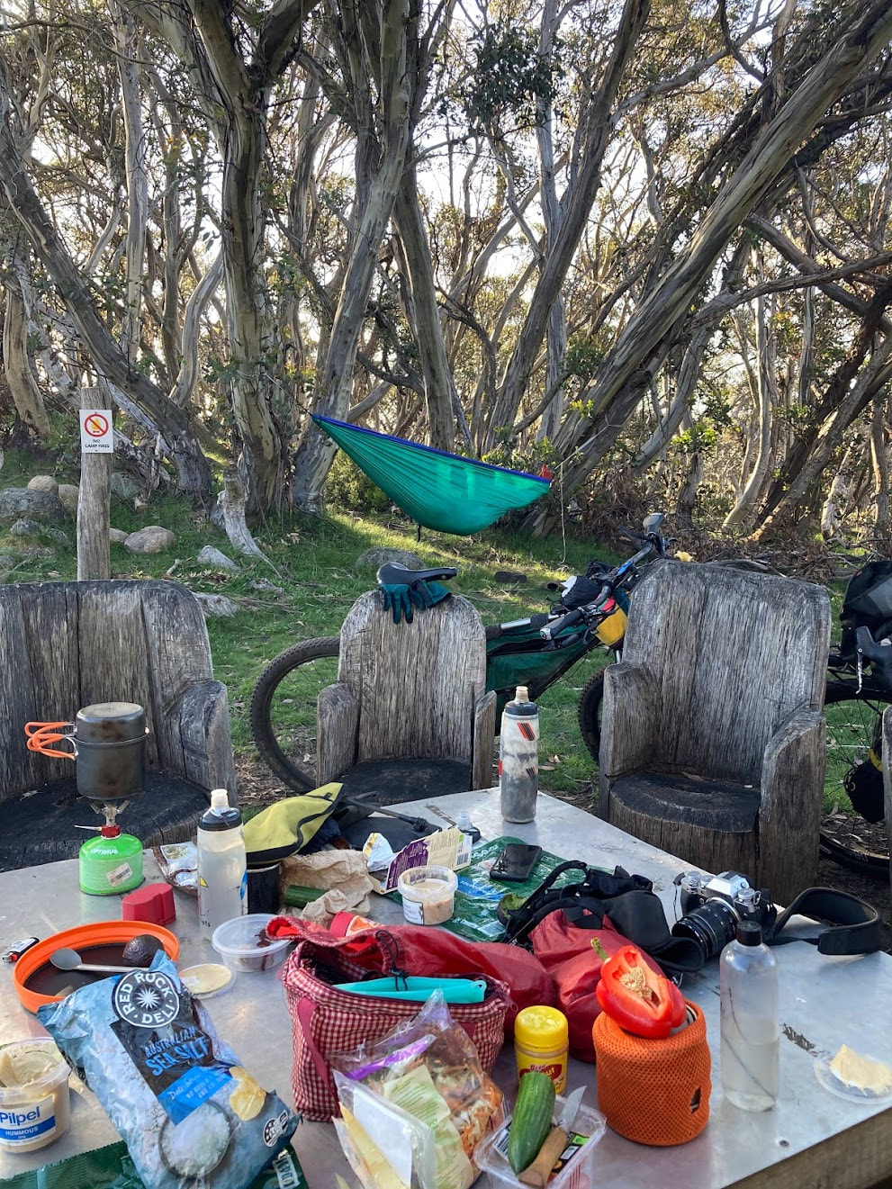
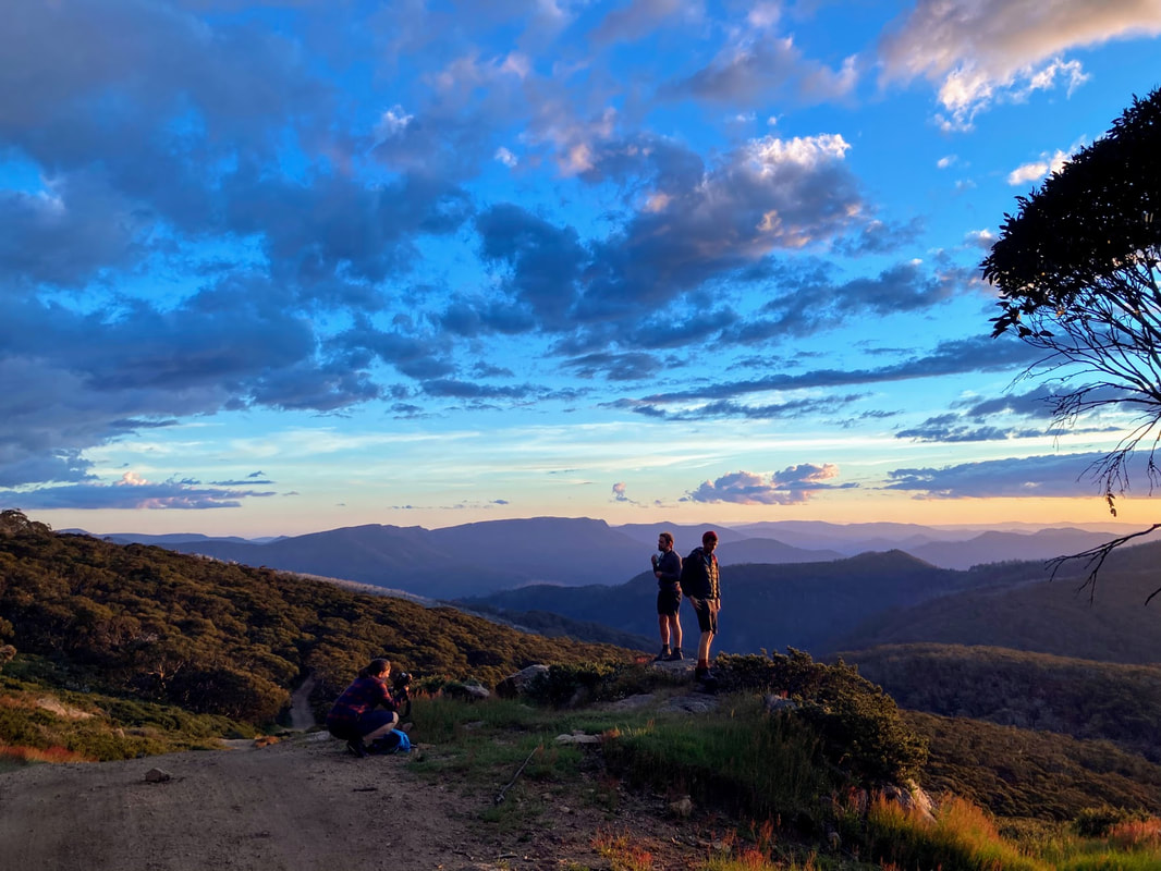
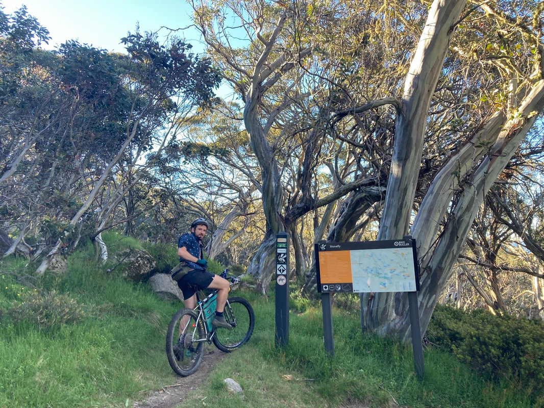
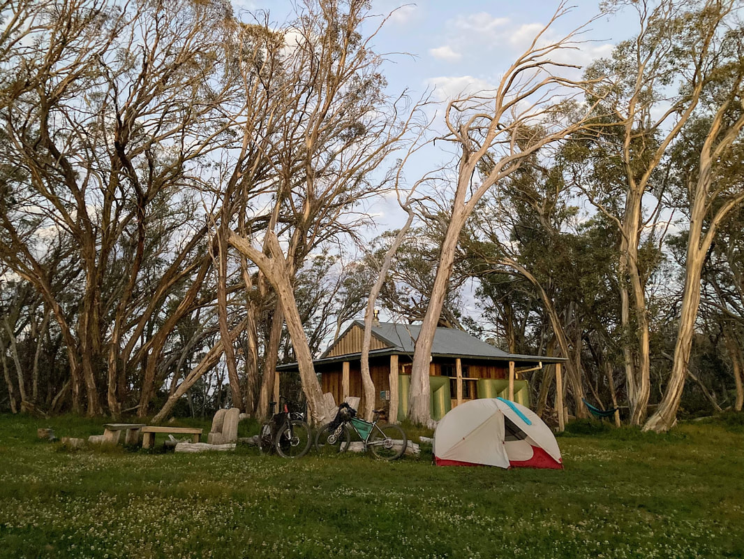
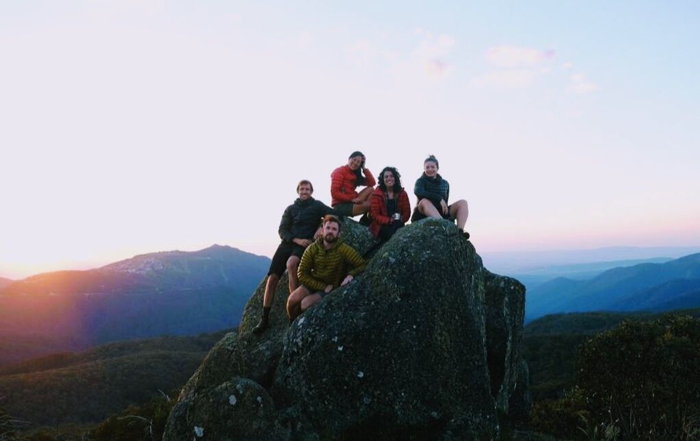 It’s been 2 years since I left the state that I live in. It was actually about the same time 2 years ago, the summer of 2019. For the end of 2021 I decided to go bikepacking up the same mountain range with the same group of friends. This time we were a little wiser and decided to find a better balance of adventure and relaxing. We opted to ride less, eat more and appreciate the surroundings by travelling a bit slower. We even went on a hike (although we may have regretted not riding)! Maybe we were able to relax a bit more as we weren’t panicking about the ravaging bushfires that seemed to follow us like last time. Note to self and a warning to others: bushfires travel fast. Trying to bikepack “around them” isn’t a smart idea. It was surprisingly nostalgic visiting the same mountain. Realising how much has and hasn’t changed in the past 2 years. We bumped into the same group at the top of the mountain who had been celebrating new years on Mount Stirling for 13 years in a row. It made me reflect and wonder how long my friendships would last. Is this how traditions begin, by doing something more than once? I wonder what spaces we will continue to hold and share together? Will we continue to have adventures and traditions? Don’t know. It just makes me cherish the adventures we have had and the memories we have created. This year instead of tormenting us with fires, Mother Nature and her mountains offered refuge from the pandemic that was/is escalating quickly through the country. Unfortunately the mountains aren’t completely out of reach of the telecommunications satellites. A few of us were able to check the daily news to update the rest of us with the increasing tally of COVID cases. Being in the clean crisp mountains was a huge relief. As for the bikepacking we were able “glamp” a bit by having a car and leaving our gear at a base camp to do day rides and visit a cafe at Mt Buller, I highly recommend their hashbrown burger which is served with a side of hashbrowns, and resupply at the tiny, tiny grocer at the top. The Victorian government has done well to invest in a summer economy in the Victorian alps by offering loads of well maintained mountain biking trails to cater for a lot of abilities and ages. It made me so happy to see young children, young families and some teenagers out there on their mountain bikes. Much more properly equipped than I was on my gravel bike. Not sure if starting on the Stonefly trail which is rated a black diamond was a good or bad idea. Most of the trail down was hike-a-bike but it did mean trails after that were “easy”. Highlights of the trip:
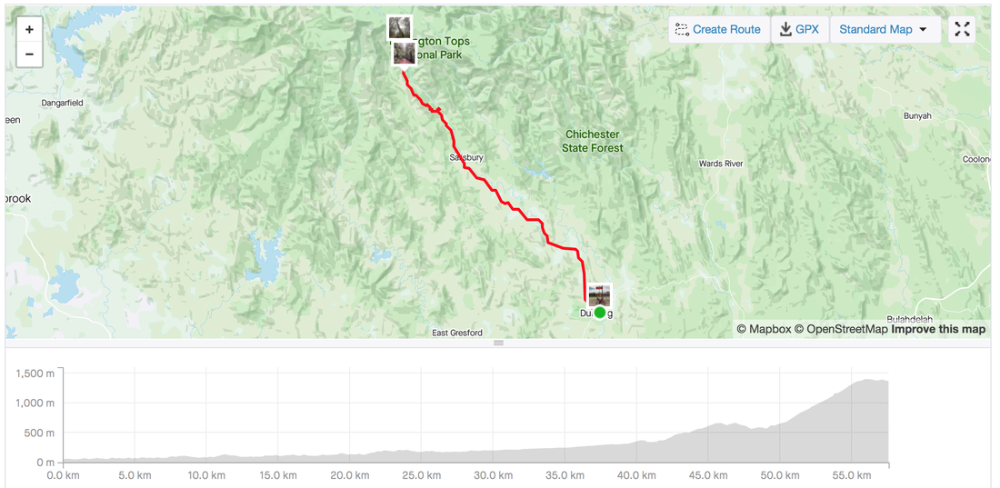
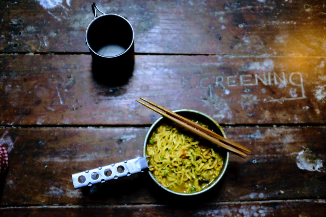
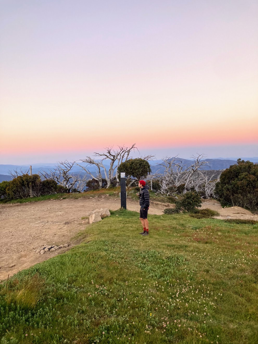
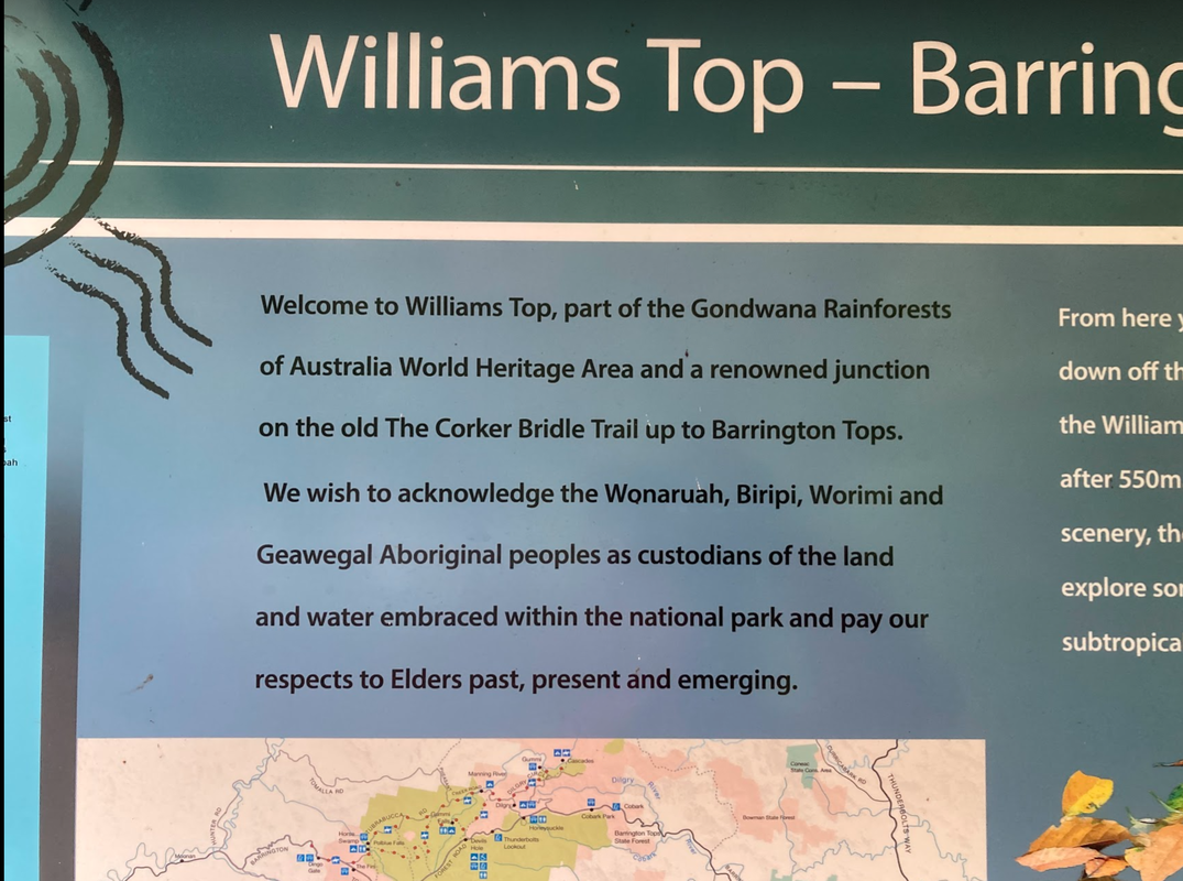
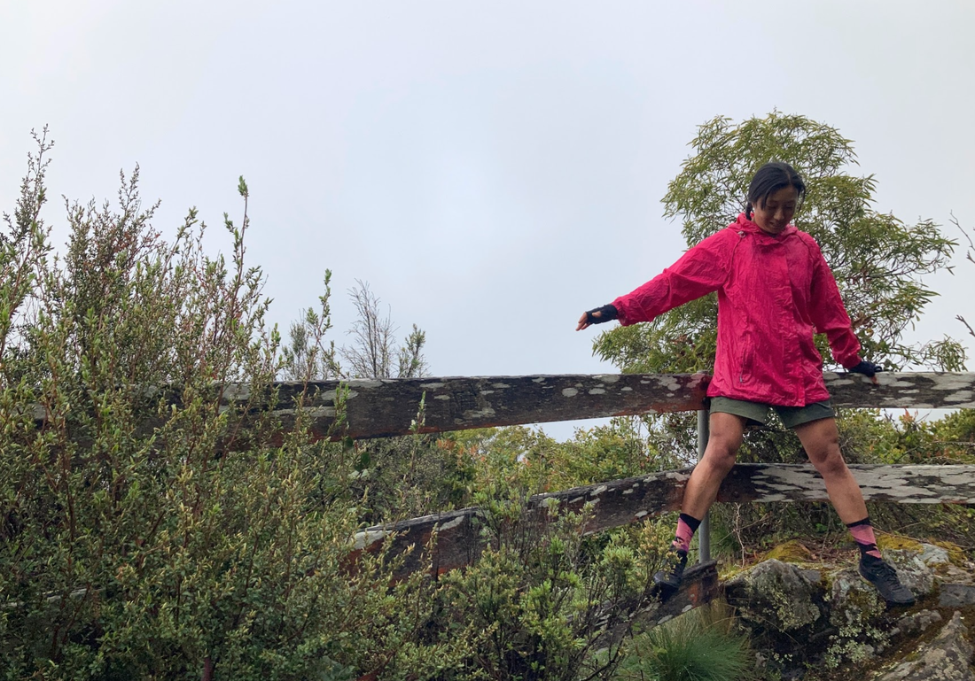
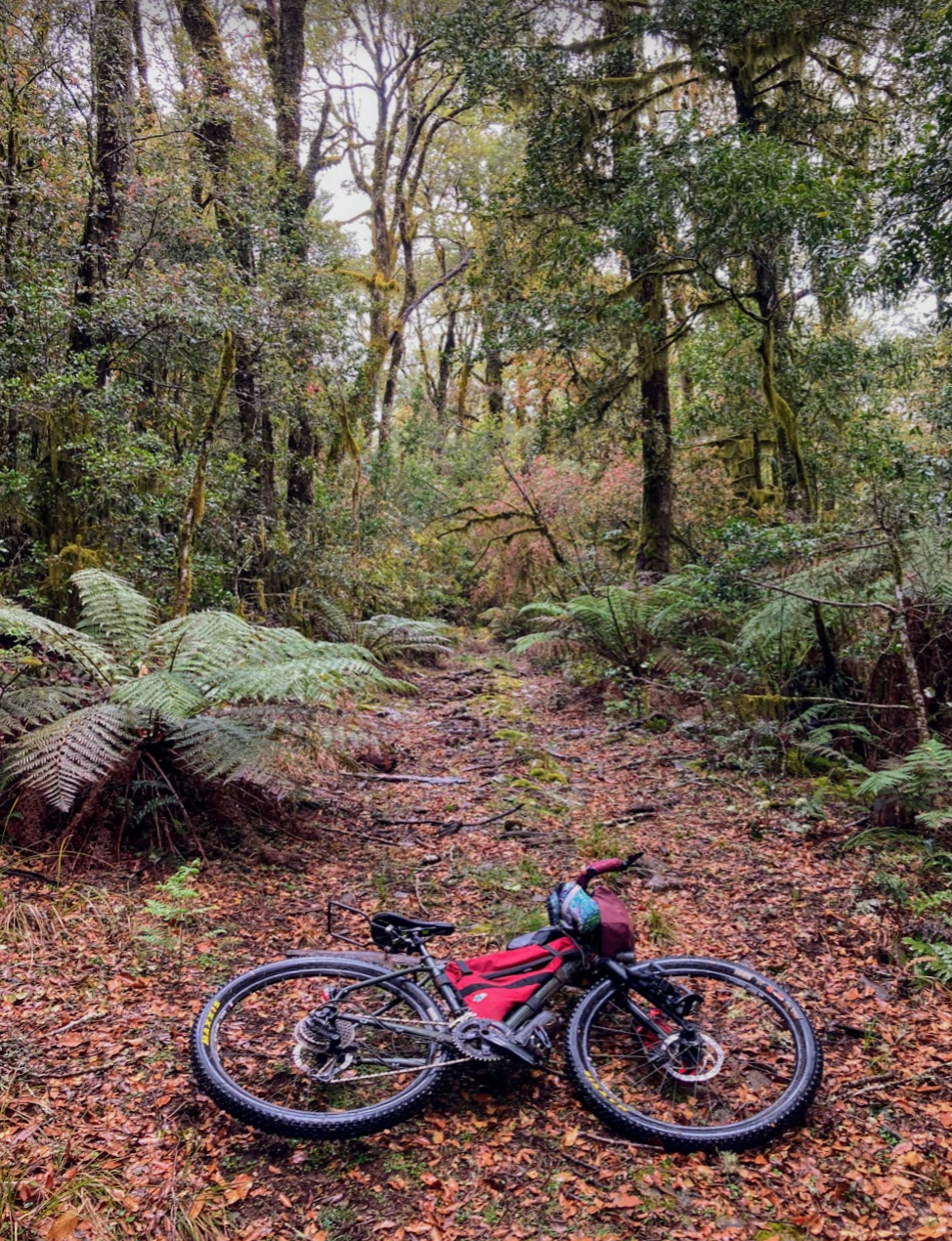
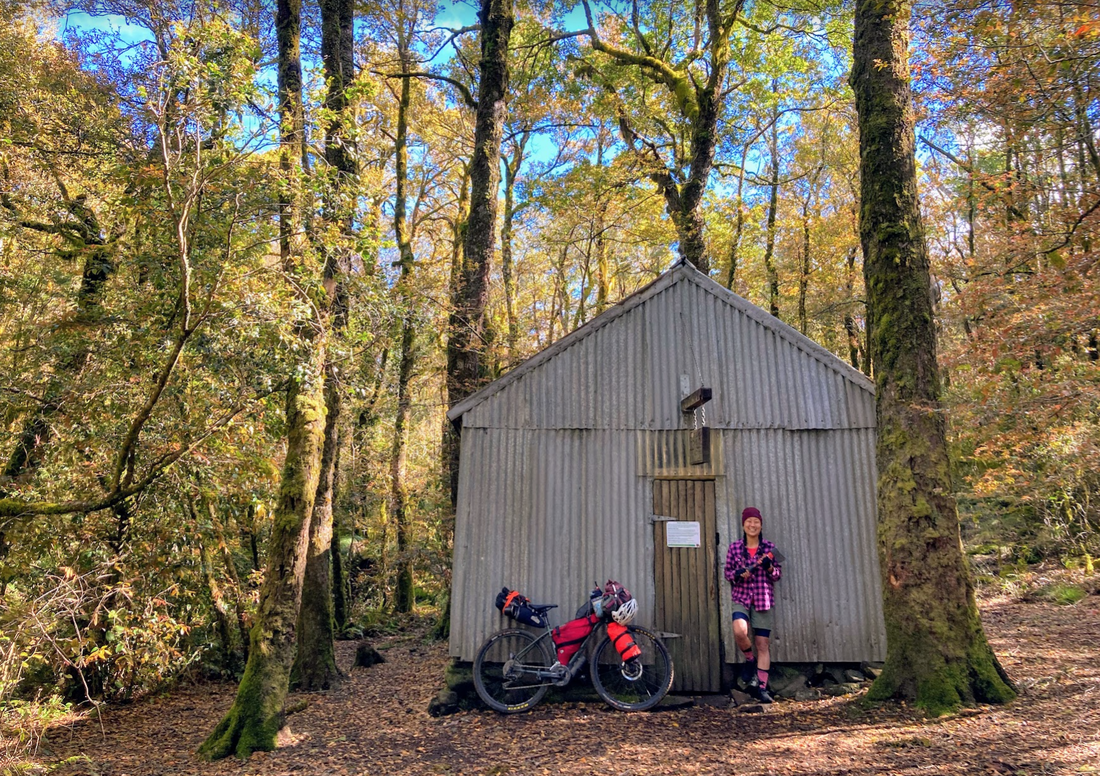
Thank you mountains for the memories, reflections and refuge. Day 1 - Telephone Junction to campsite (Bluff spur memorial hut) Sleep: Bluff spur memorial hut Strava link - here 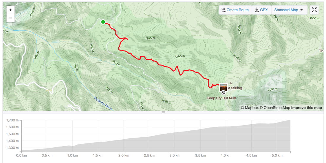 Day 2 - Stonefly MTB Black run - Mt Stirling to Mt Buller loop Sleep: Bluff spur memorial hut Strava link - here 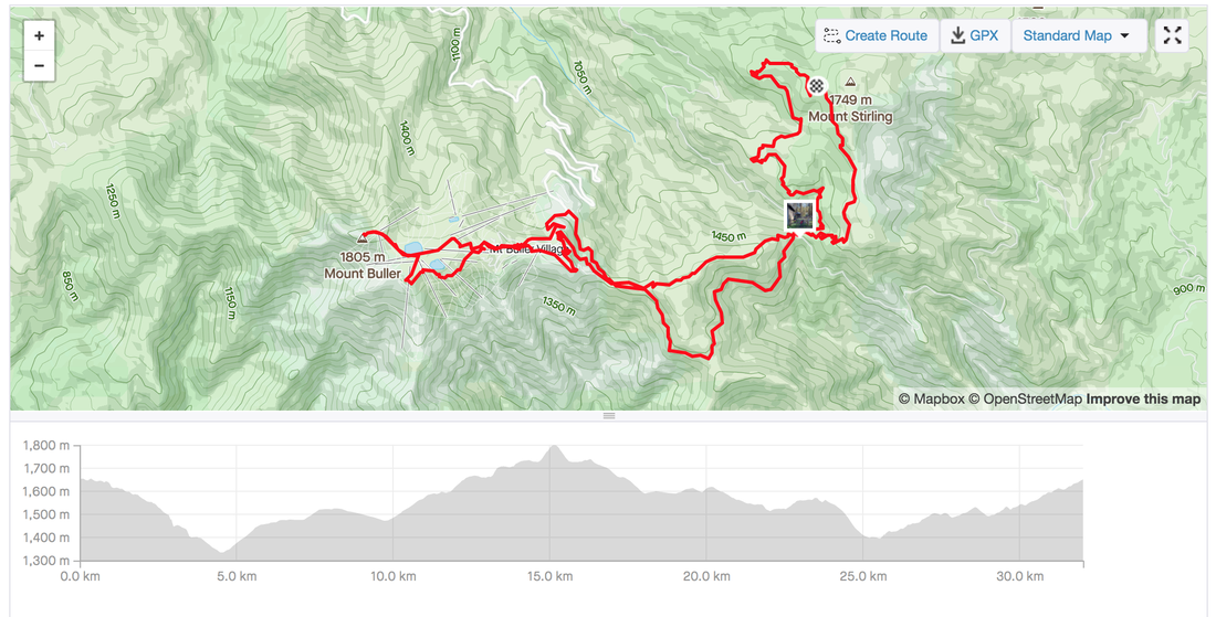 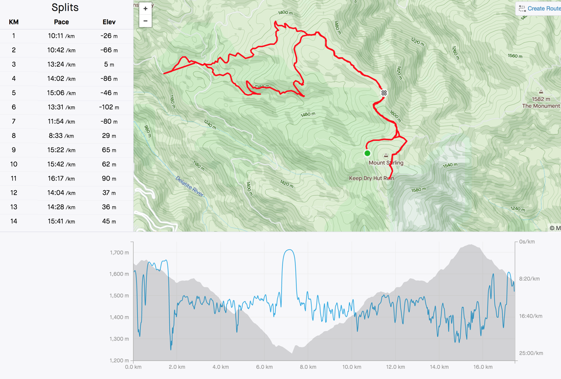 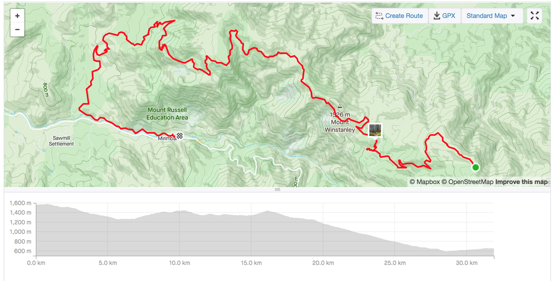 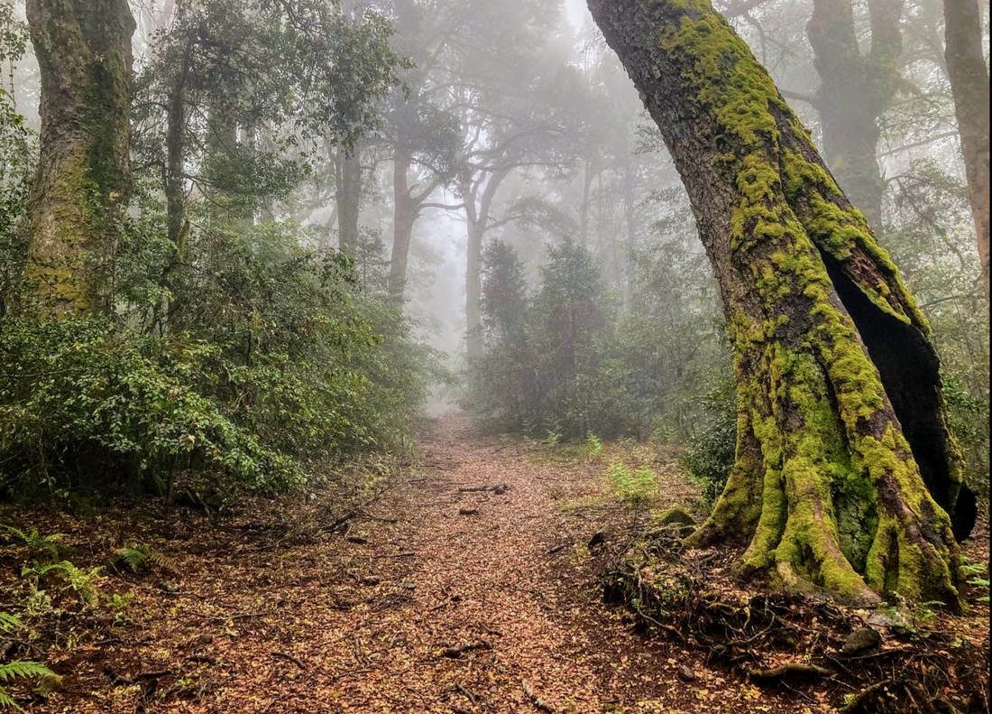 Acknowledging the custodians of the lands on which I had the privilege of riding around this week, the Wonaruah, Biripi, Worimi, and Gaewegal people. These lands are some of the most magically places I've ever seen. Before setting out on this mid week adventure a friend asked me if the reason why people like bikepacking is because you have to work to earn the reward. Yes, my friend, I said. That is called Type-2 fun and yes, that's a part of the reason why I enjoy bike packing. Pushing the body and mind, making life/death decisions nearly every second, constantly doing a risk assessment, listening to the body when it says it can't, adapting on the fly as things and conditions change. It's not just about pedalling and the gram shot. It's finding the beauty wherever you go, and challenging yourself. This trip to Barrington tops was a last minute adventure I madly researched over 24 hours as I started to feel the anxiety of starting a new job in a week. Thanks to the lovely folks on the Bikepacking Australia facebook group I sourced lots of information, pored over maps to create a route that allowed me to public transport my way without packing up the bike to Barrington tops. I was warned, it'll be cold carry warm socks and The Corker is hard and they were right. They were also right about the Barrington tops being a special magical place. Day 1 technically started at 4am (although I didn't really sleep due to the anxiety of missing the train) to catch the 5am train from Central to Dungog. The last station you can get to with the Opal card on the Hunter line. A quick stop at the local bakery to pick up an apple pie and salad roll with beetroot no butter please. After 40 kilometres of road riding with a few big trucks in between I was at Lagoon pinch, or The Corker trail. The rain and 15% inclines weren't going to stop me from getting into the rainforests. It was worth the hike-a-bike for 2 hours to arrive at the hut were 3 other hikers had already started a fire. Day 1 stats - Dungog to Selby Allen's Hut via The Corker Start: Central station 5 am train to Dungog. Roll out of Dungog at 10:30 am Finish: Selby Allen's Hut along The Corker Route: Strava link Distance: 57.6 kms Elevation: 2,089 metres Difficulty: The Corker was steep and I hike-a-biked most it. Otherwise the Ride out of town wasn't too bad with the occasional truck, and a few road works. Highlights:
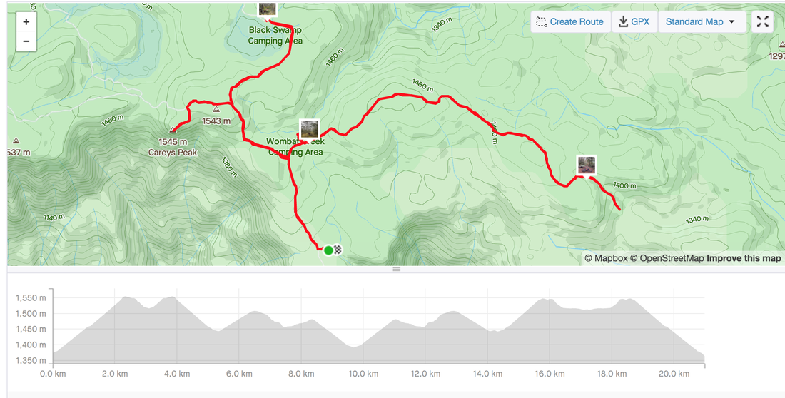
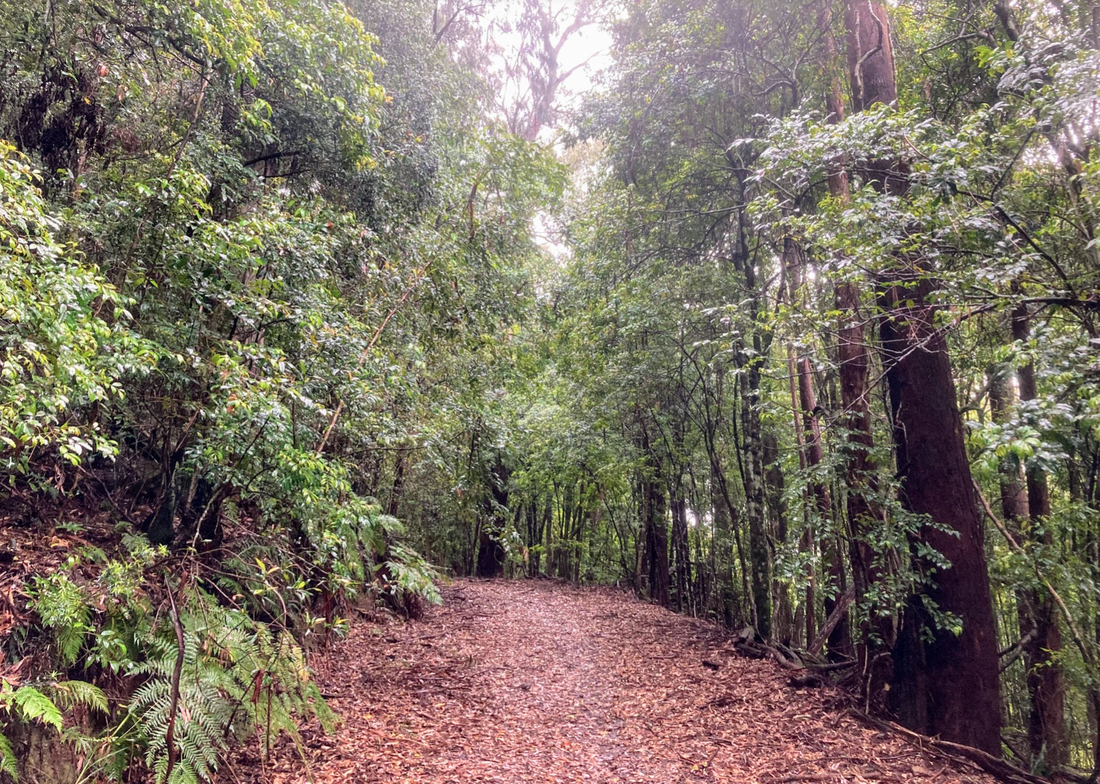
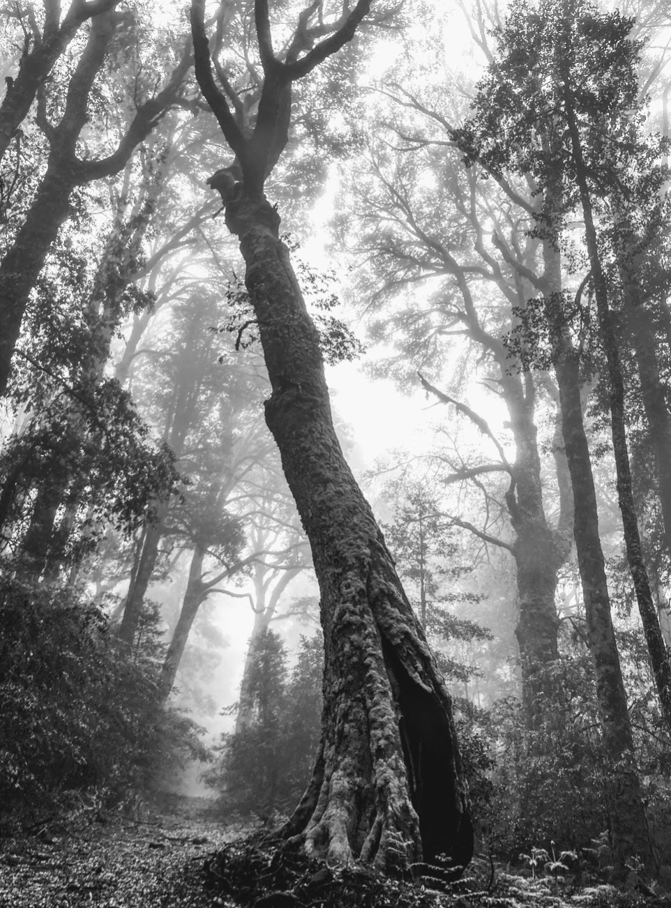
 After much deliberation the night before while listening to the rain fall on the tin rood of the hut I decided to abort my original plan to do a loop to Gloucester and Dungog which freed me to choose my own adventure. The number of ecosystems in the Barrington tops is varied and stunning, the electric green of the rainforest has every shade of green growing from all nocks of the forest. It's straight up Studio Ghibli inspiration material. The bird life is pumping in there too. Day 2 stats - Carey's peak and nearly Gloucester Falls Route: Carey's peak, Black Swamp, Link Trail - Strava link Distance: 21 kms Elevation: 600 metres Highlights:
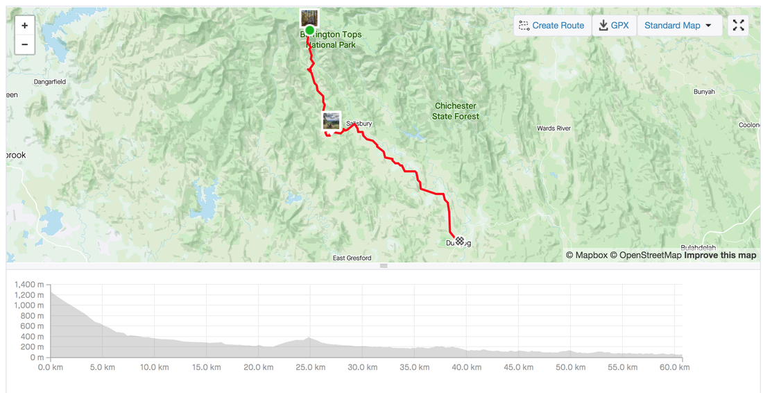
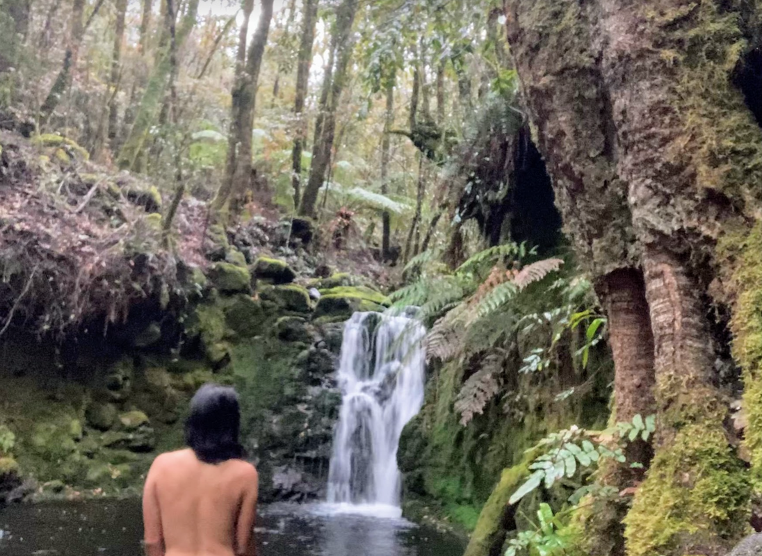
 Last day of any trip is a mix of emotions. The sadness of leaving your reception free, peeing in nature, simple lifestyle but also the excitement of heading home to not stressing about where to get water. Again I changed my plans on the spur of the moment to take a detour to see the Ladies well, taking a punt based on some hot tips. The detour took me through the state forest and state forest camping grounds. I'm so glad the Barrington tops is World heritage listed. I can't image someone logging all those trees in the rainforest. Thank you to all those who fight tirelessly to protect the forest. Day 3 stats - Barrington Tops to Dungog via Salisbury Gap Road Route: Strava link Distance: 61 kms Elevation: 806 metres Highlights:
  |
Archives
July 2023
Categories
All
|


 RSS Feed