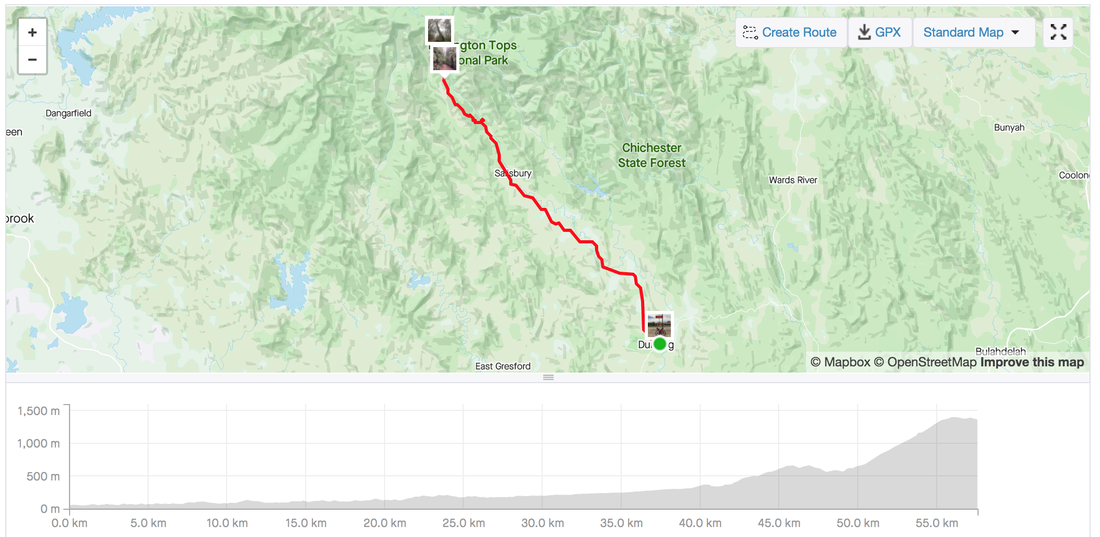
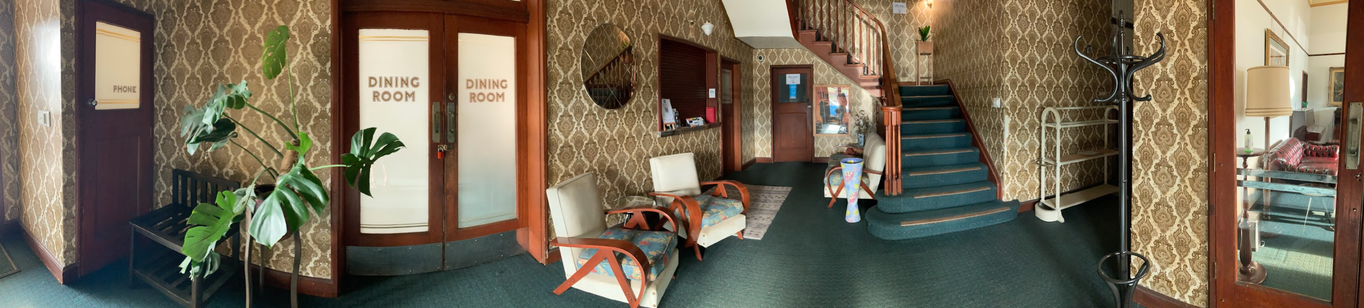
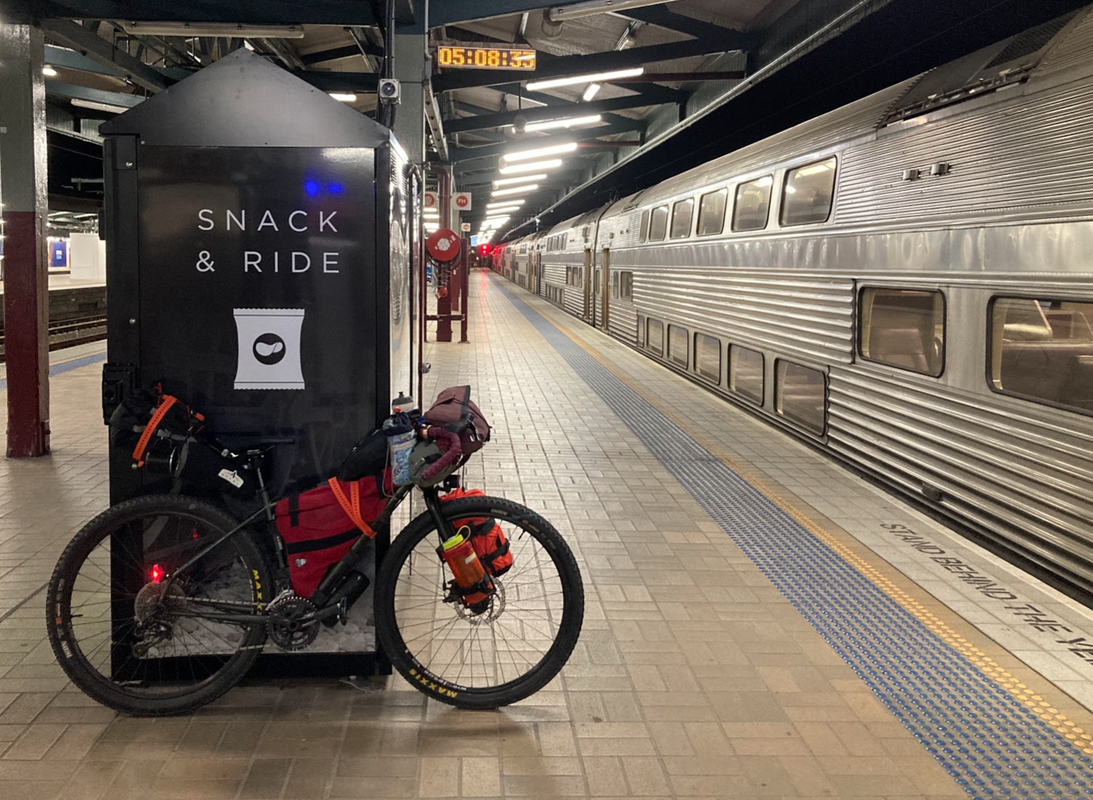
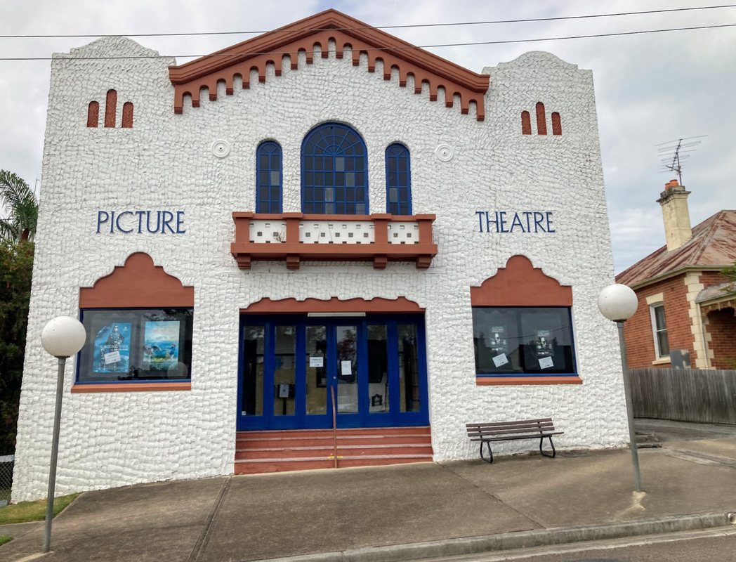
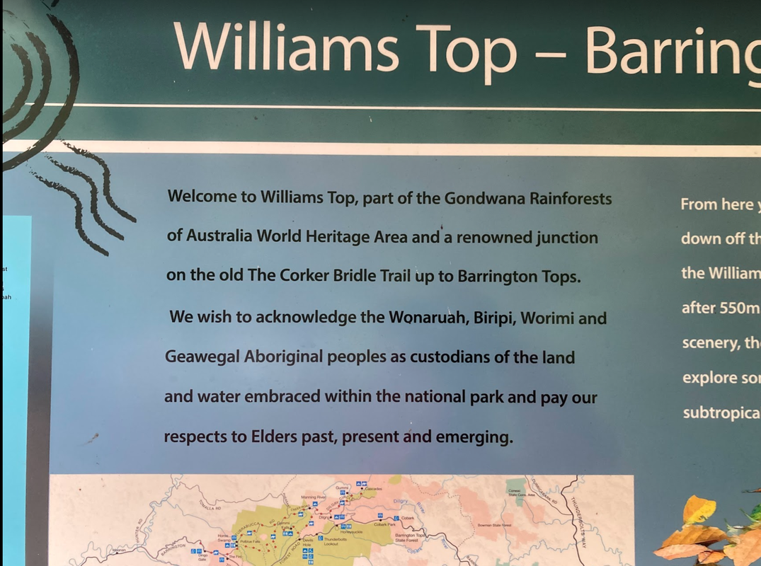
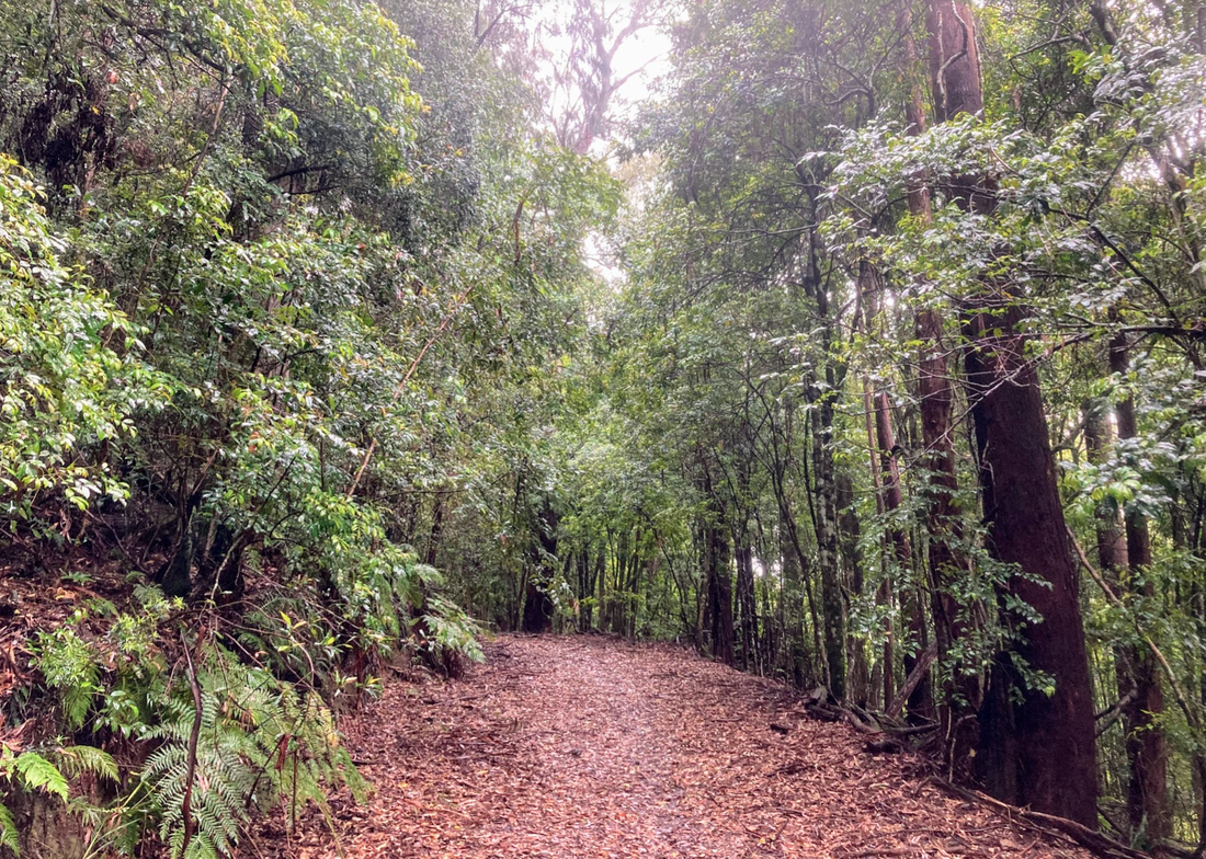
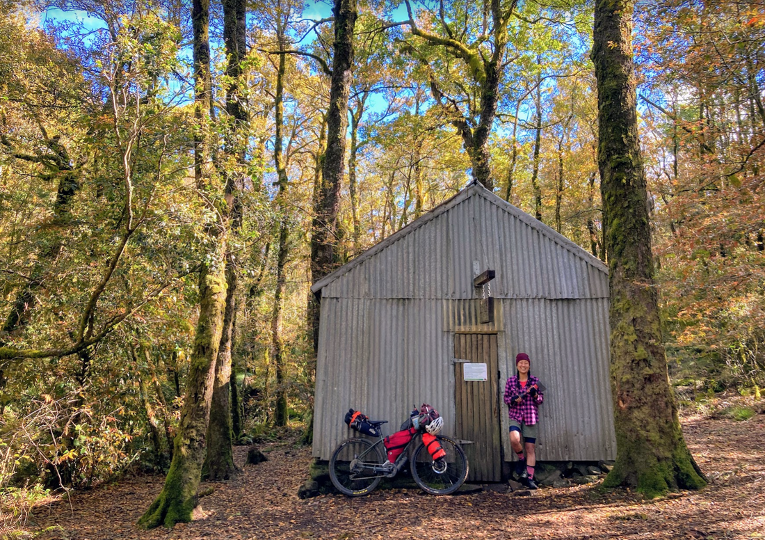
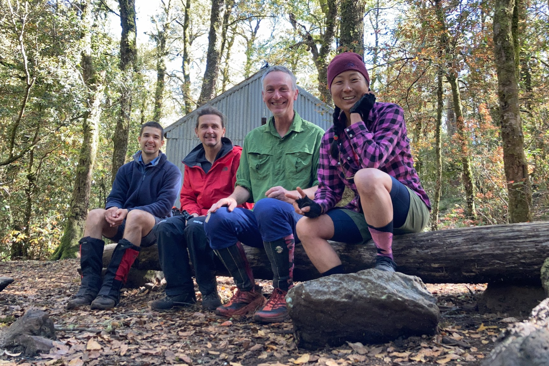
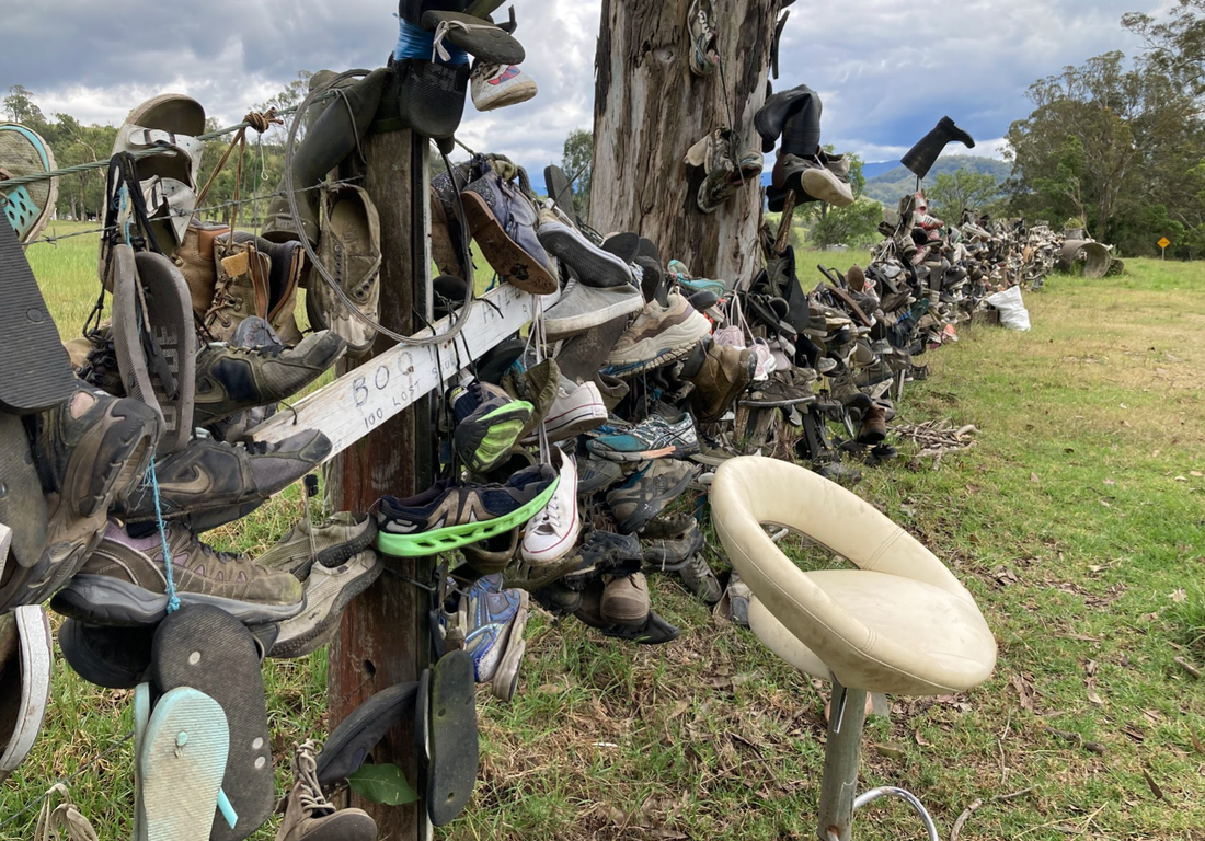
 Acknowledging the custodians of the lands on which I had the privilege of riding around this week, the Wonaruah, Biripi, Worimi, and Gaewegal people. These lands are some of the most magically places I've ever seen. Before setting out on this mid week adventure a friend asked me if the reason why people like bikepacking is because you have to work to earn the reward. Yes, my friend, I said. That is called Type-2 fun and yes, that's a part of the reason why I enjoy bike packing. Pushing the body and mind, making life/death decisions nearly every second, constantly doing a risk assessment, listening to the body when it says it can't, adapting on the fly as things and conditions change. It's not just about pedalling and the gram shot. It's finding the beauty wherever you go, and challenging yourself. This trip to Barrington tops was a last minute adventure I madly researched over 24 hours as I started to feel the anxiety of starting a new job in a week. Thanks to the lovely folks on the Bikepacking Australia facebook group I sourced lots of information, pored over maps to create a route that allowed me to public transport my way without packing up the bike to Barrington tops. I was warned, it'll be cold carry warm socks and The Corker is hard and they were right. They were also right about the Barrington tops being a special magical place. Day 1 technically started at 4am (although I didn't really sleep due to the anxiety of missing the train) to catch the 5am train from Central to Dungog. The last station you can get to with the Opal card on the Hunter line. A quick stop at the local bakery to pick up an apple pie and salad roll with beetroot no butter please. After 40 kilometres of road riding with a few big trucks in between I was at Lagoon pinch, or The Corker trail. The rain and 15% inclines weren't going to stop me from getting into the rainforests. It was worth the hike-a-bike for 2 hours to arrive at the hut were 3 other hikers had already started a fire. Day 1 stats - Dungog to Selby Allen's Hut via The Corker Start: Central station 5 am train to Dungog. Roll out of Dungog at 10:30 am Finish: Selby Allen's Hut along The Corker Route: Strava link Distance: 57.6 kms Elevation: 2,089 metres Difficulty: The Corker was steep and I hike-a-biked most it. Otherwise the Ride out of town wasn't too bad with the occasional truck, and a few road works. Highlights:
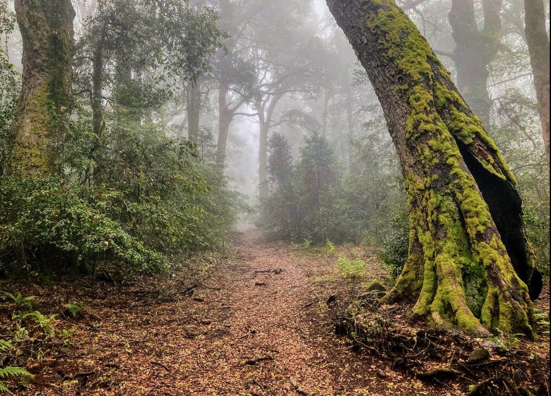
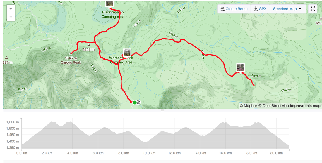
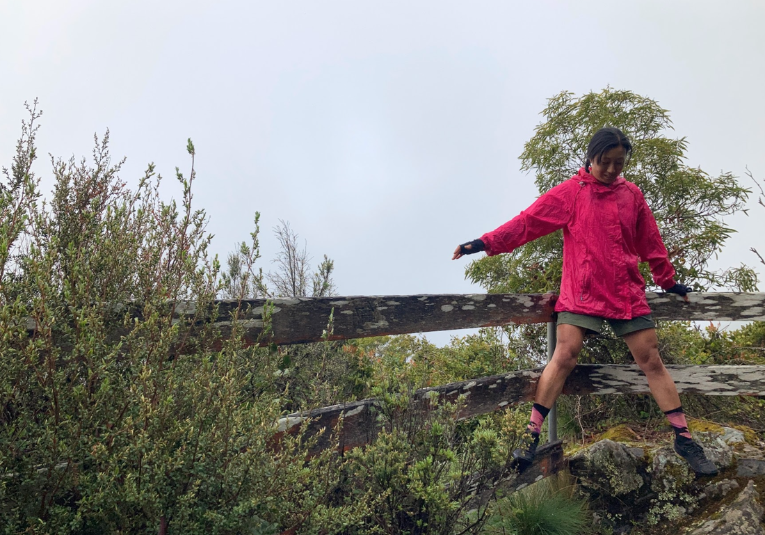
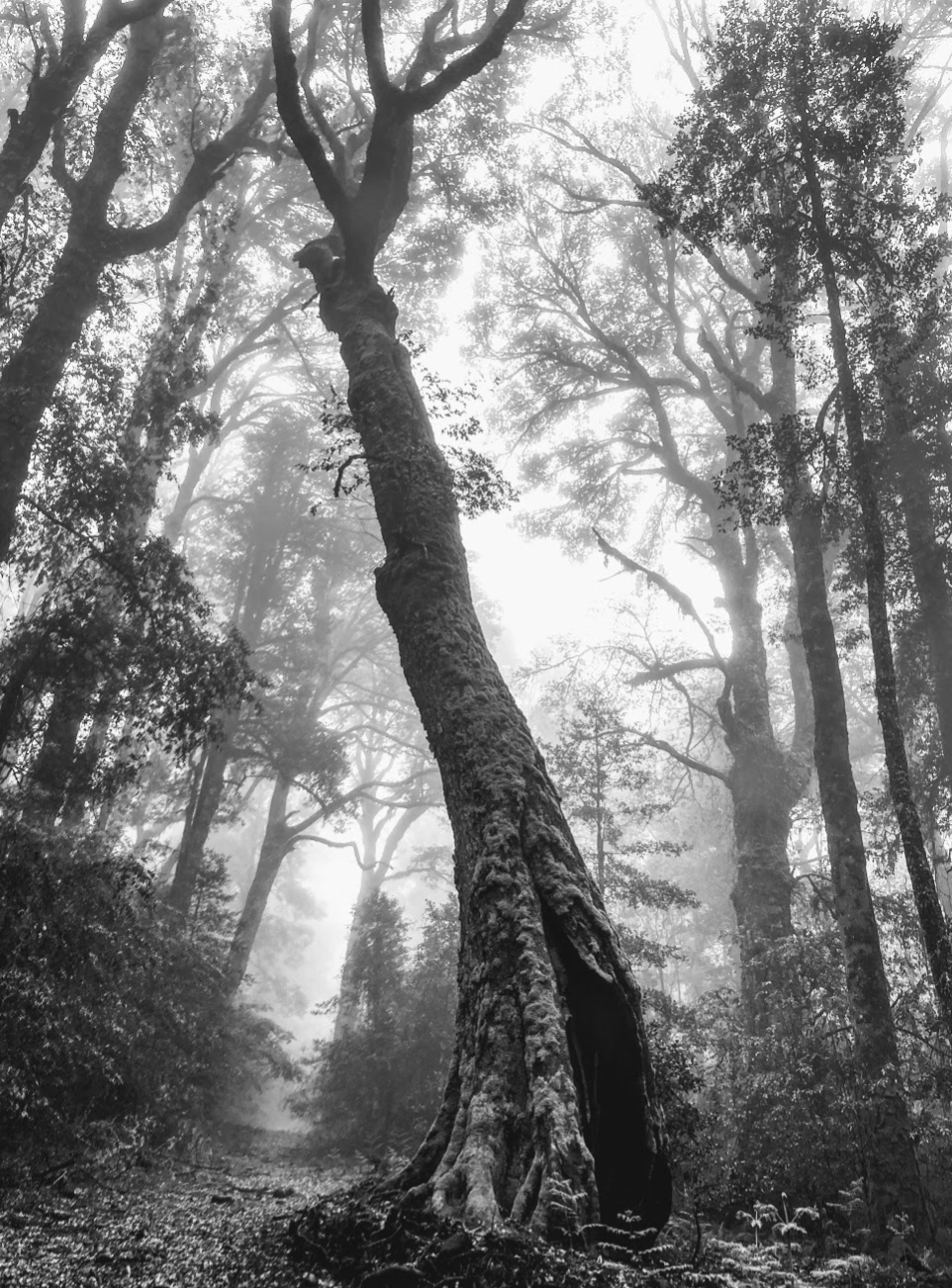
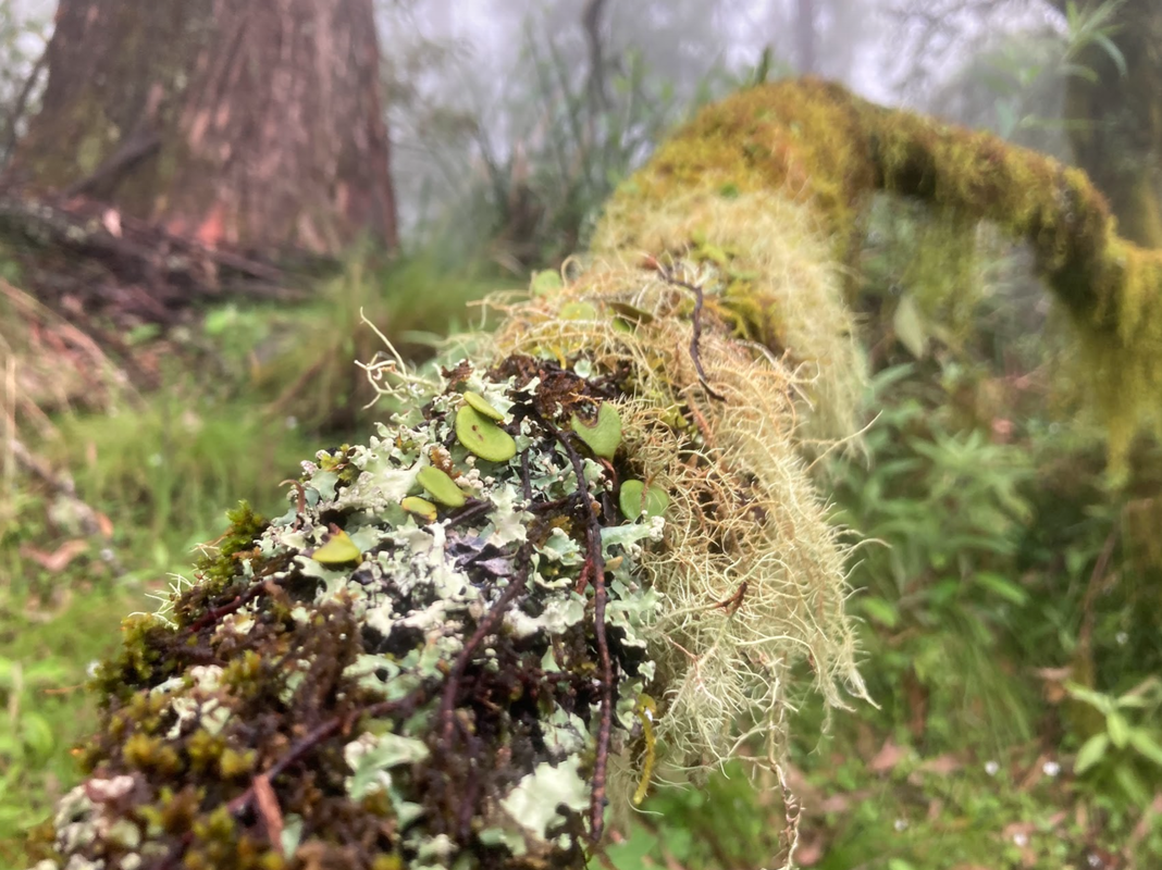
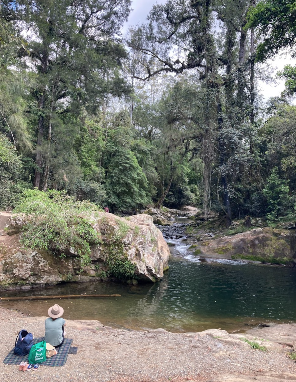
 After much deliberation the night before while listening to the rain fall on the tin rood of the hut I decided to abort my original plan to do a loop to Gloucester and Dungog which freed me to choose my own adventure. The number of ecosystems in the Barrington tops is varied and stunning, the electric green of the rainforest has every shade of green growing from all nocks of the forest. It's straight up Studio Ghibli inspiration material. The bird life is pumping in there too. Day 2 stats - Carey's peak and nearly Gloucester Falls Route: Carey's peak, Black Swamp, Link Trail - Strava link Distance: 21 kms Elevation: 600 metres Highlights:
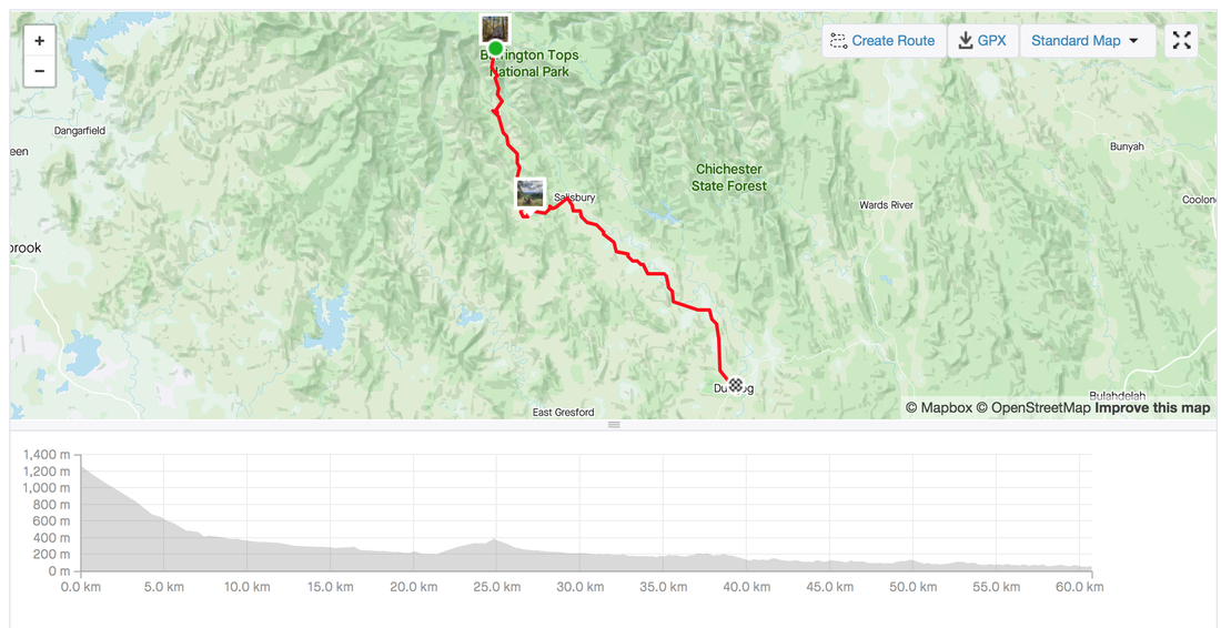
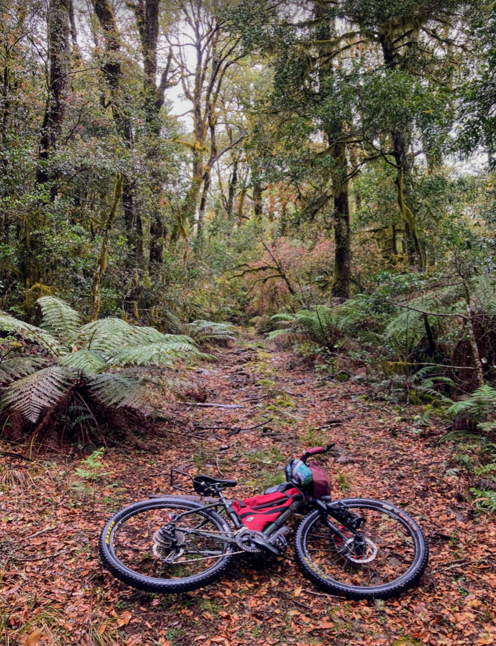
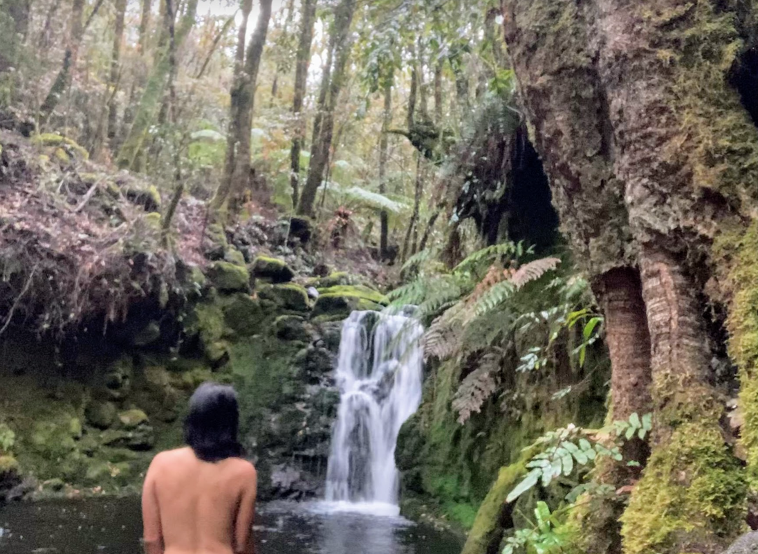
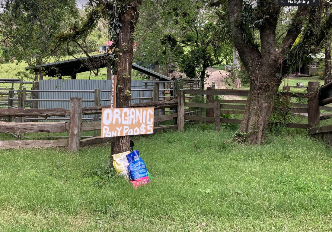
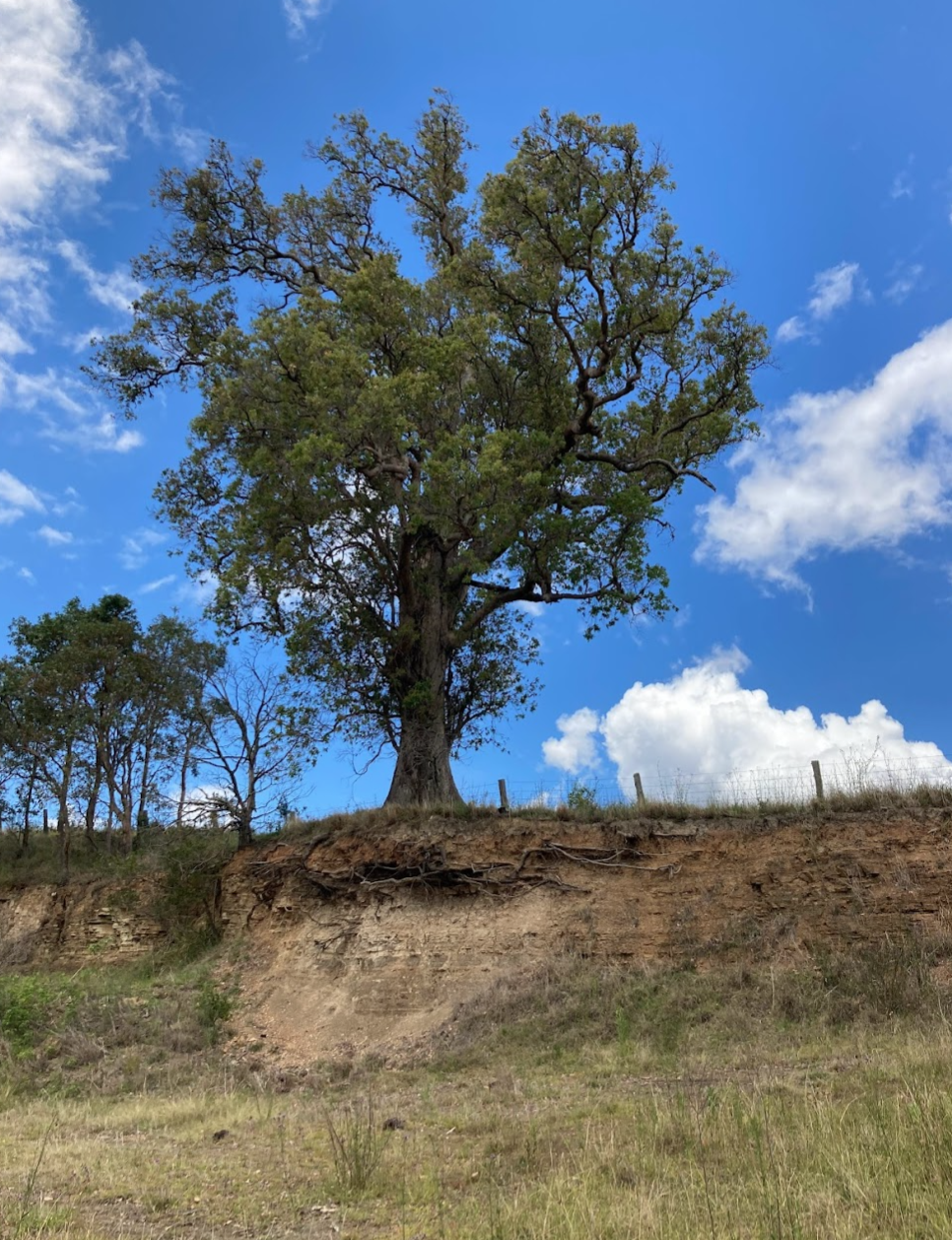
 Last day of any trip is a mix of emotions. The sadness of leaving your reception free, peeing in nature, simple lifestyle but also the excitement of heading home to not stressing about where to get water. Again I changed my plans on the spur of the moment to take a detour to see the Ladies well, taking a punt based on some hot tips. The detour took me through the state forest and state forest camping grounds. I'm so glad the Barrington tops is World heritage listed. I can't image someone logging all those trees in the rainforest. Thank you to all those who fight tirelessly to protect the forest. Day 3 stats - Barrington Tops to Dungog via Salisbury Gap Road Route: Strava link Distance: 61 kms Elevation: 806 metres Highlights:
0 Comments
Leave a Reply. |
Archives
July 2023
Categories
All
|


 RSS Feed