|
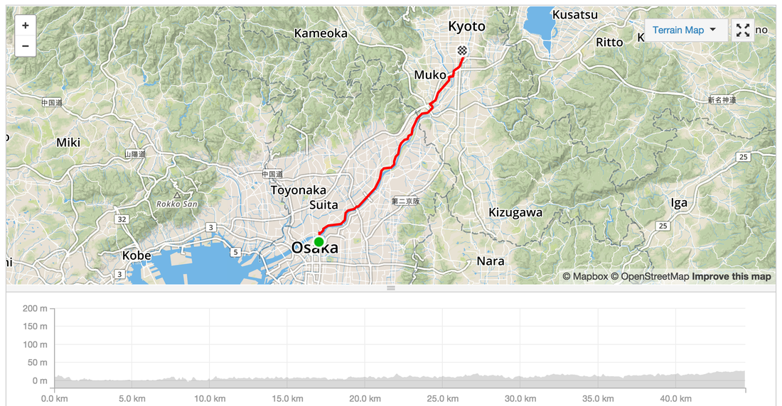
Start: Osaka
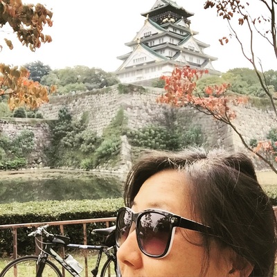
Distance: 44.4 kms Strava: https://www.strava.com/activities/409302506 Elevation gain: 107 m Road Type: Cycleway along the river, but with annoying stops to walk over car blocking hurdles Sights: Riverway, people fishing, other bike riders racing/training. Osaka Jo. Tips: Drink and Toilet stations along the way. End: Kyoto Accommodation: With friends Food: Bring your own, shops aren't guaranteed to be open
0 Comments
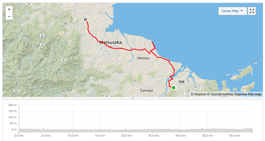
Start: Ise
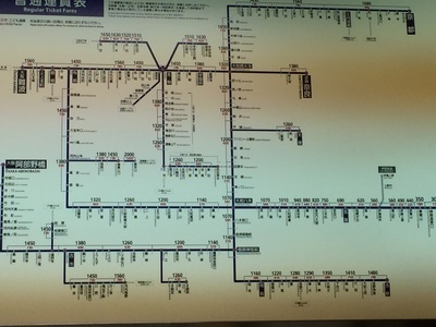
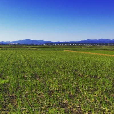
Distance: 43.3 kms Strava: https://www.strava.com/activities/407915037 Elevation gain: 52 m Road Type: On Road, some busy roads with trucks and cars, Cycleways along the coast, small narrow back streets along rice paddy fields. Sights: Country side. Coast line. Tips: Sometimes the cycleway leads to dead ends. End: Ise Nakagawa to catch a train to Osaka. Frequent trains. Local and Express. 1,500 Yen for a local. 3,000 for an express. Accommodation: Last minute hotel booking via booking.com at Osaka for 2,500 yen. Food: Lots of food options. Easiest to eat from the convenience store. Start: Toba
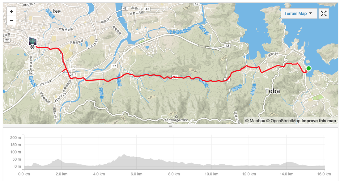
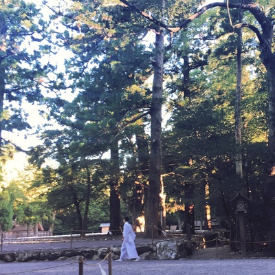
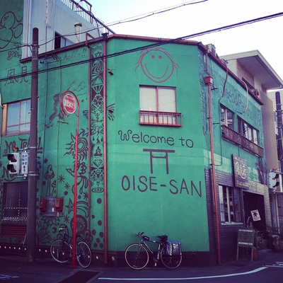
Distance: 16 kms Strava: link Elevation gain: 196 m Road Type: On Road sometimes a bit busy, sometimes really really tiny back streets Sights: Country side, rice fields. Tips: Try a traditional bathouse, Sento, in Ise, great to lying in a tub of hot water for hours after an epic ride. Cost about 400 Yen. You can rent towels and buy shampoo or BYO. End: Ise, home of the Grand Shinto shrine Accommodation: Last minute hotel booking via booking.com for 2,500 Yen Food: Plenty of small towns and vending machines along the way. Again hitting up an udon shop near the station and loading up on supermarket goodies. Try the melon flavoured soy milk. Start: Hamamatsu
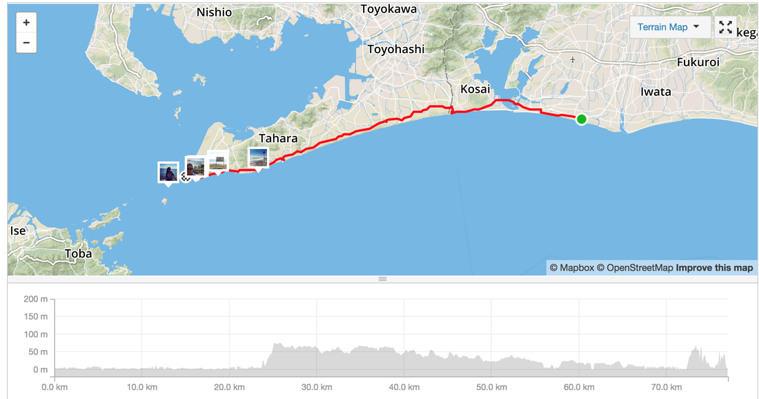
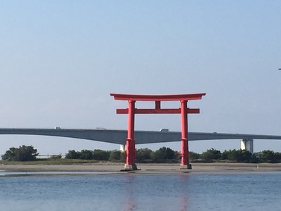
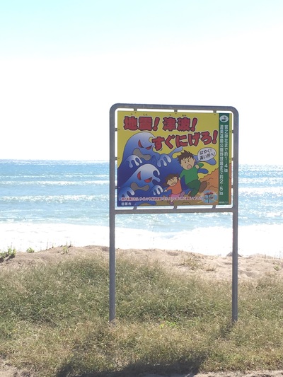
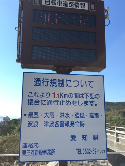
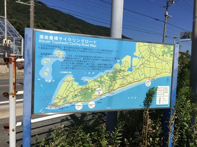
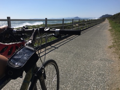
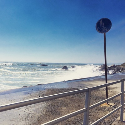
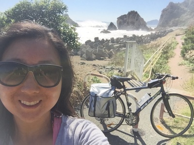
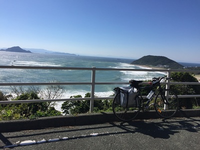
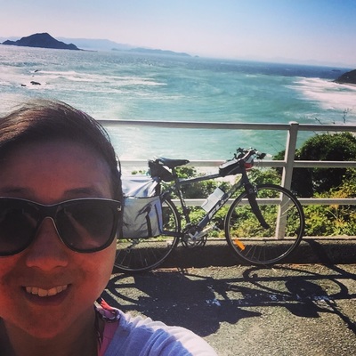
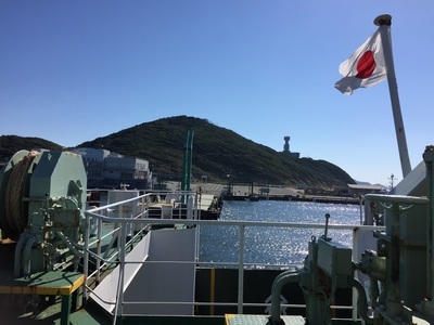
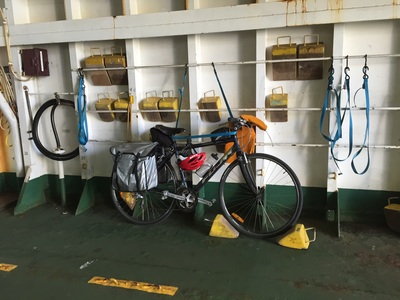
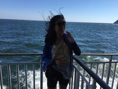
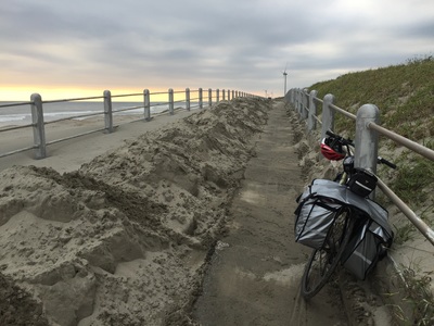
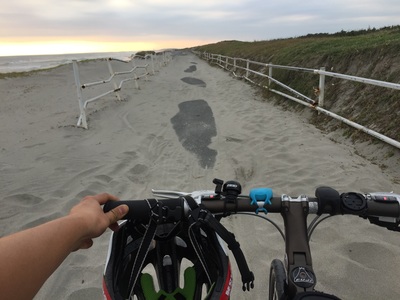
Distance: 77 kms Strava: https://www.strava.com/activities/407915037 Elevation gain: 630 m Road Type: On Road, some busy roads with trucks and cars Sights: The crazy Pacific coast waves Tips: Look for the signs to the Pacific Coast cycleway, it weaves on and off along the sea side. Some of it looked too scary for me to ride. WINDY! It's was very very windy. I was in constant battle against the winds and losing motivaation. End: Irago, Ferry Port. Catch a ferry to Toba. Ride onto Ise Accommodation: Last minute hotel booking via booking.com for 2,500 at Ise Food: Last 20 kms not much food options. There is a rest stop at Irago. Try to catch some food at the Beach cafe. Start: Shimizu
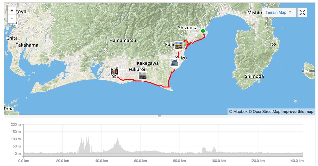
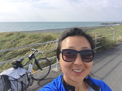
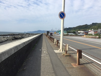
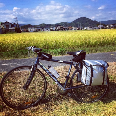
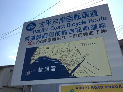
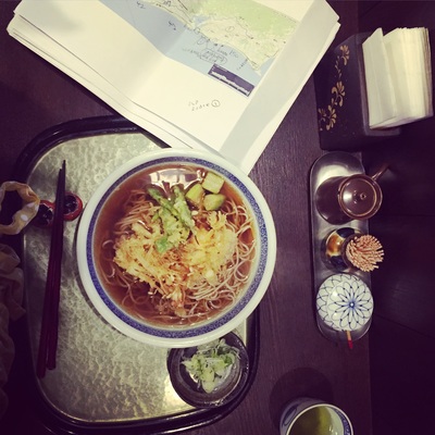
Distance: 143.4 kms Strava: https://www.strava.com/activities/407339313 Elevation gain: 1,330 m ( some of this was because I climbed a mountain by accident) Road Type: On Road, cycleway along the coast, detour due to construction beware Sights: Seaside, hill climbs Tips: Try to ask for information when you come across detour signs or construction. The main road might be closed off on the other side and you need to make a detour. Don't find out the hard way by climbing and descending before realising there's no way. End: Hamamatsu (has a Shinkansen stop, biggish town) Accommodation: Last minute hotel booking via booking.com for 5,500 Yen Food: Plenty of small towns and vending machines along the way. Hamamatsu: Not many things open around the city centre. Found a great Udon shop run by a mother and daughter. Start: Yamanakako
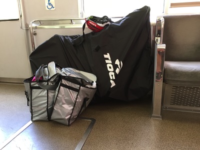
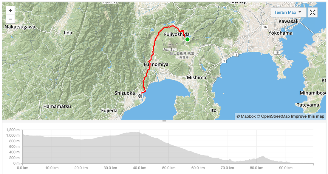
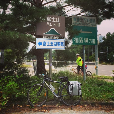
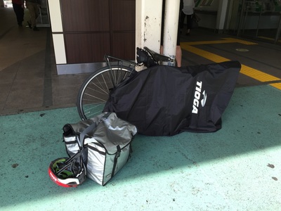
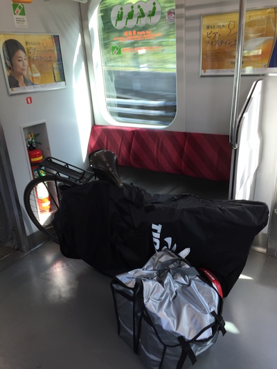
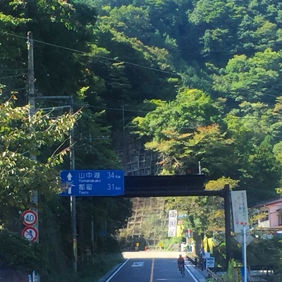
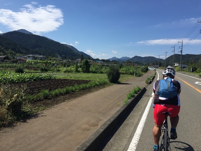
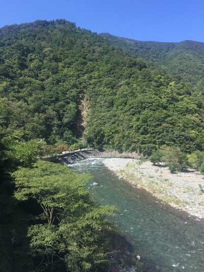
Distance: 99.4 kms Strava: https://www.strava.com/activities/406744640 Elevation gain: 934 m Road Type: On Road, often quiet streets in the mountains, motorbike clubs drive on these roads too, careful off the occasional truck. Sights: Too many. Mountains, river ways, forests, the lake, the valleys Tips: Don't need to carry spare water as there are plenty of vending machines along the way End: Shimizu, port town Accommodation: Last minute hotel booking via booking.com for 5,400 Yen Food: Plenty of stops and vending machines along the way. In Shizumi - Lots of sushi shops because it's close to the sea. Try a local sushi house. Started the ride just outside of Tokyo to avoid the cars. Take the Keio Train line from Shinjuku to Chofu, change for Hashimoto. You can take your bicycle in the train if it is inside a bike bag. Start: Hashimoto station on the Keio Line, west of Tokyo
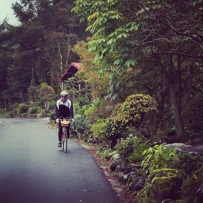
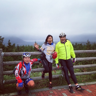
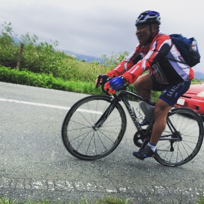
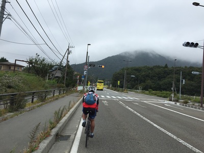
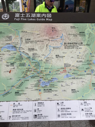
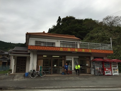
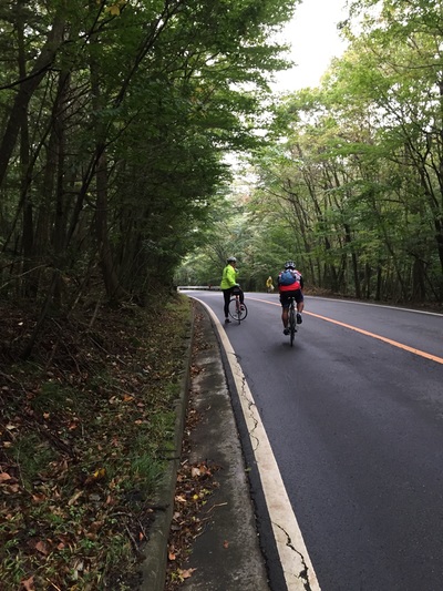
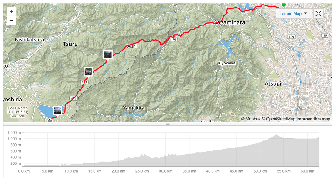
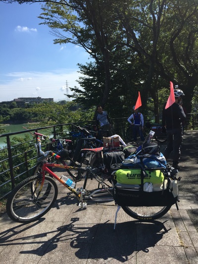
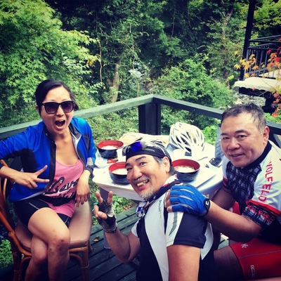
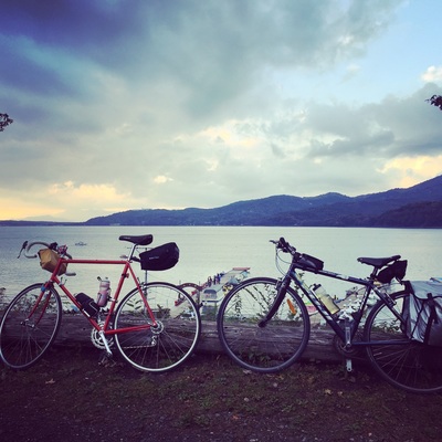
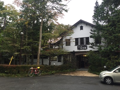
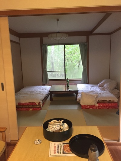
Distance: 62.4 km Strava: https://www.strava.com/activities/405848428 Elevation gain: 2,285m Road Type: On Road, often quiet streets in the mountains, motorbike clubs drive on these roads too, careful off the occasional truck. Sights: Too many. Mountains, river ways, forests, the lake Tips: Don't need to carry spare water as there are plenty of vending machines along the way End: Yamanako Food: Plenty of stops including a rest stop with udon and a tofu shop. There are restaurants and a massive rest stop in the hills. Best cafe was one nestled near the last climb serving soba and kaki with a bike rack out the front. Accommodation: Cabin in the forest |
Archives
July 2023
Categories
All
|


 RSS Feed