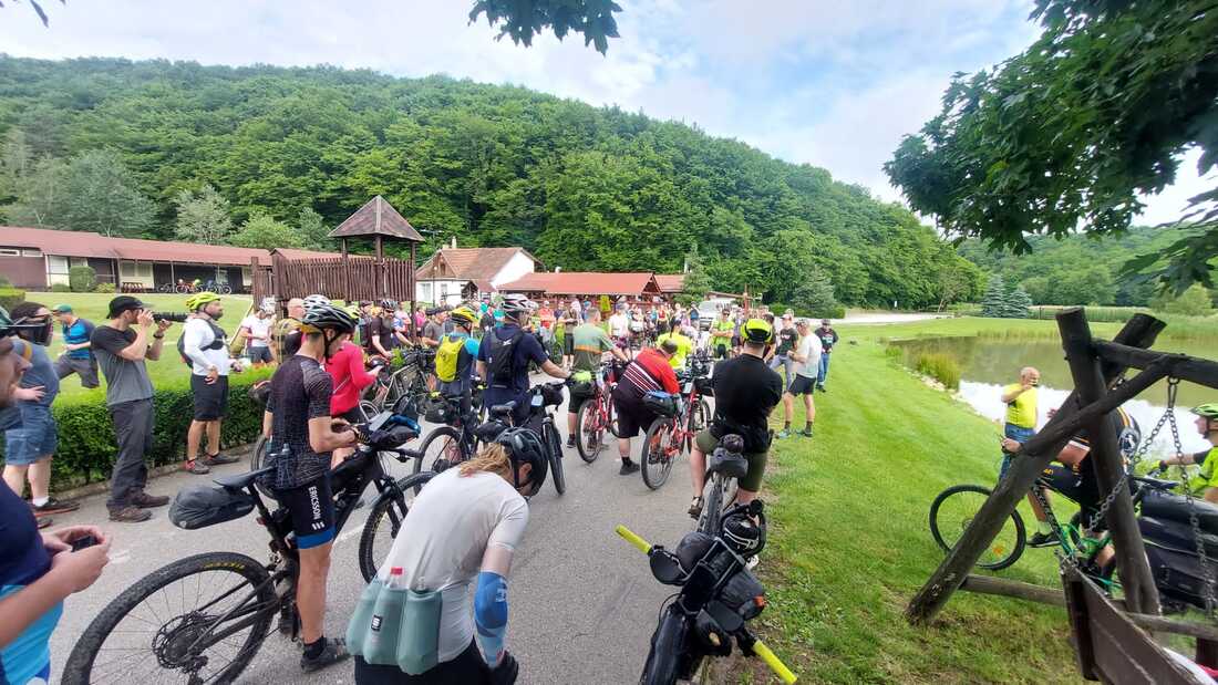
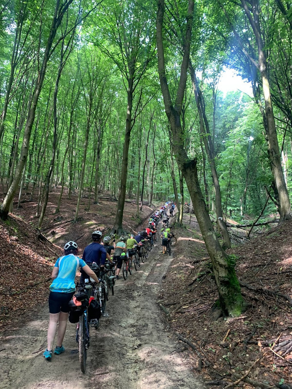
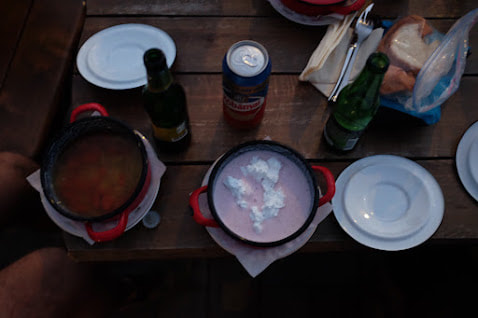
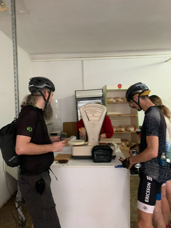
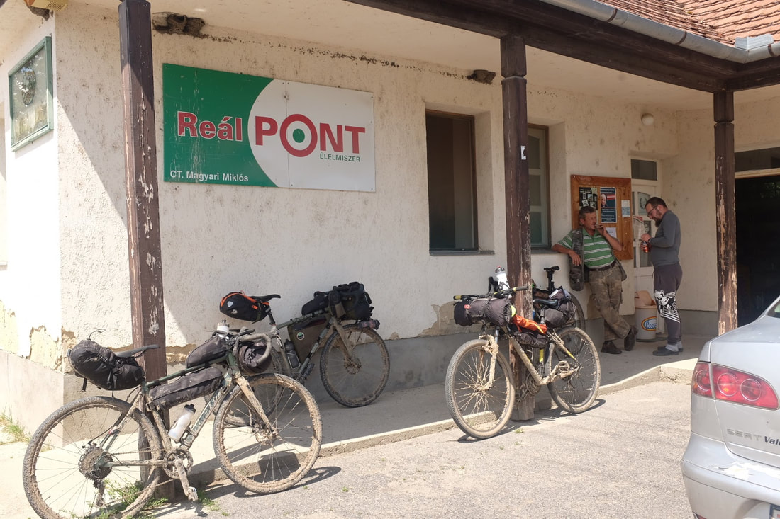
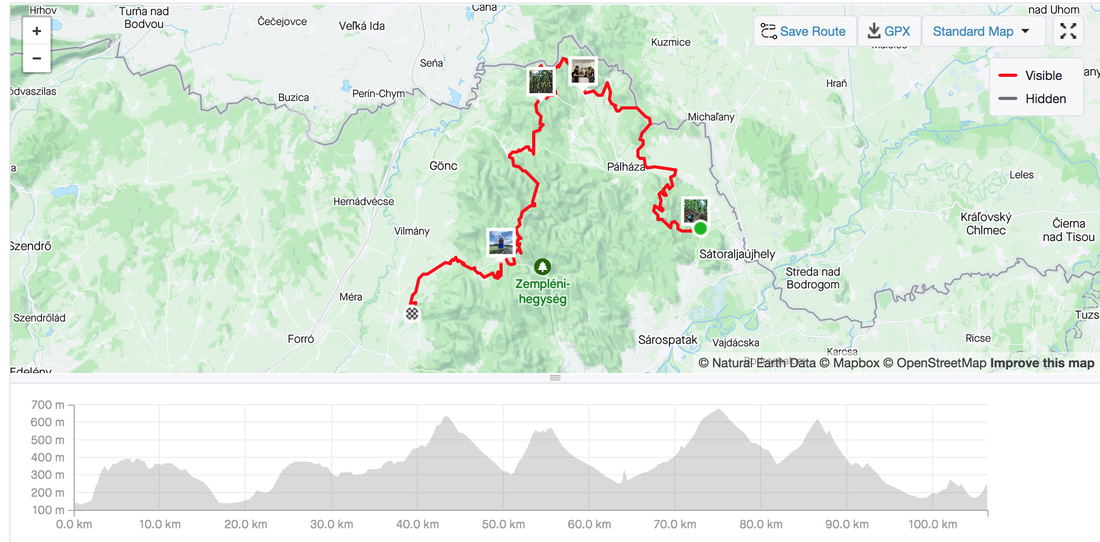
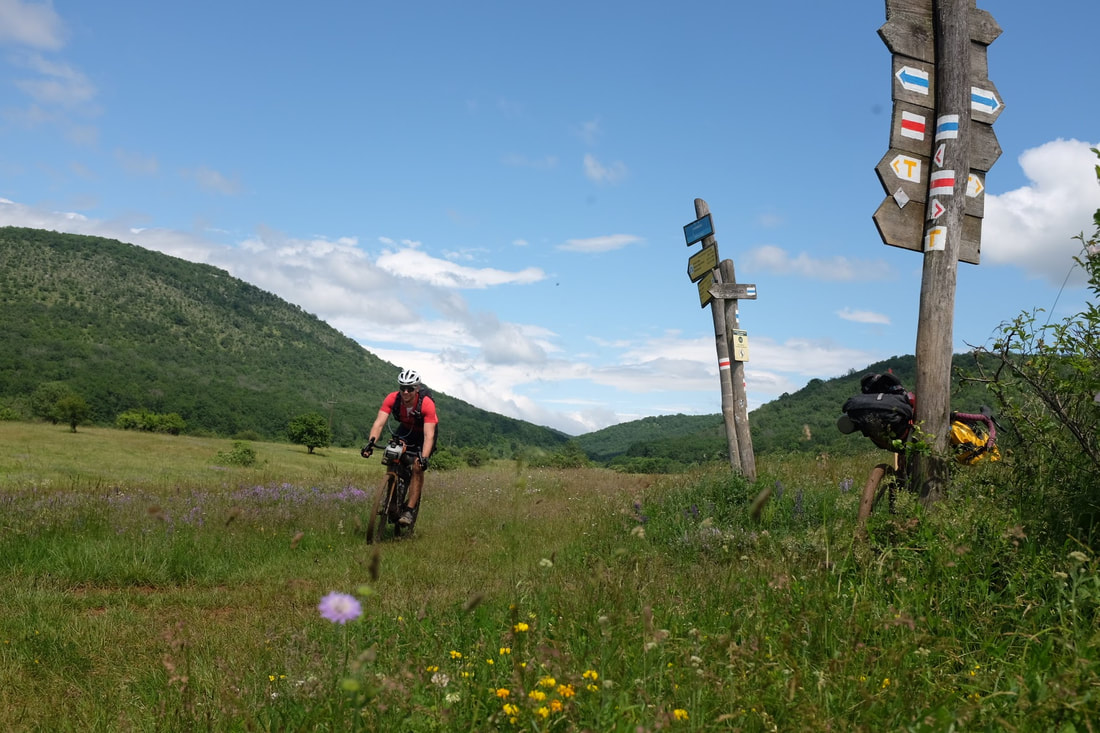
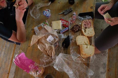
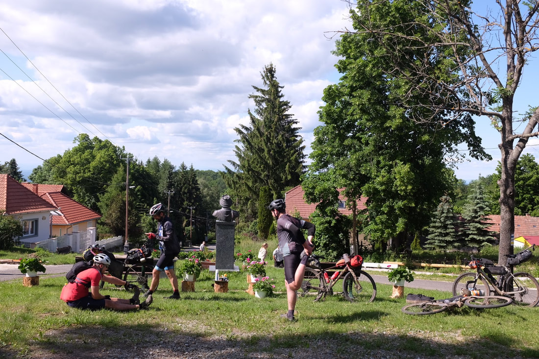
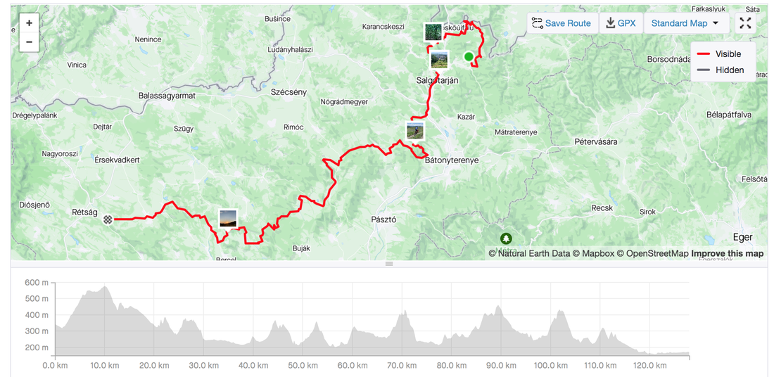
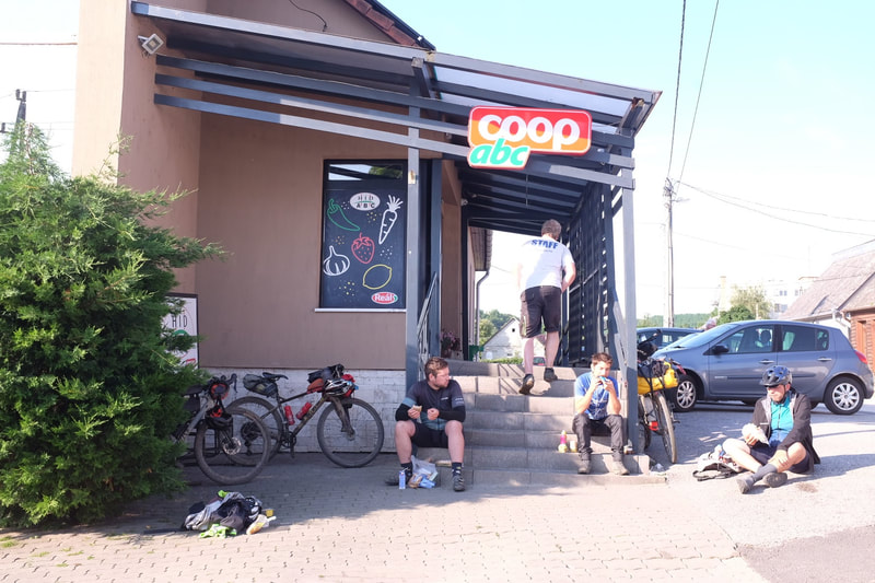
Day 1 - Sátoraljaújhely to Boldogkő Castle Day 1 Statistics Strava: Hungarian Divide - Day 1 Distance:106.3 kilometres Elevation: 2,448 metres Food: Lunch at a Small grocery store, Dinner at the end at a pub Highlights:
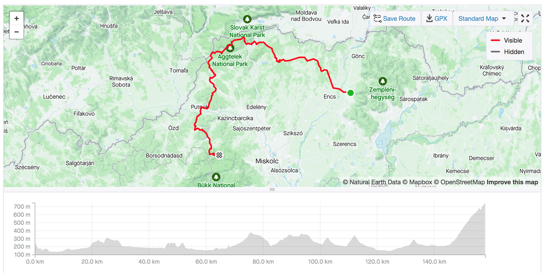
Day 2 - Bükkszentlélek Day 2 Statistics Hungarian Divide - Day 2 Distance: 158 kilometres. Elevation: 2,144 metres Highlights
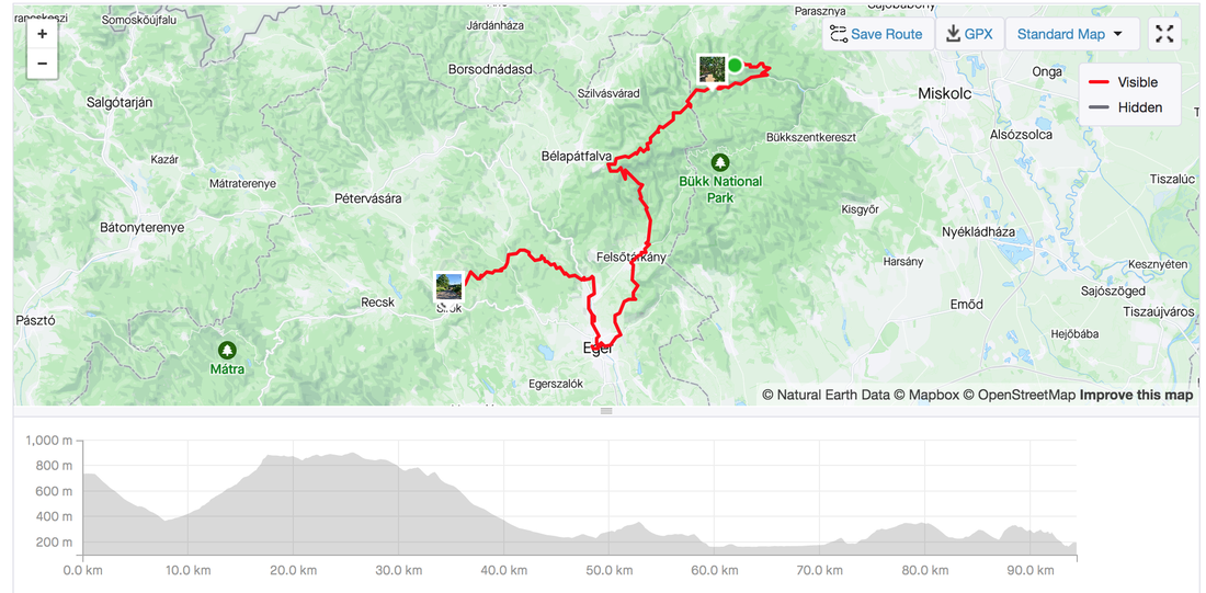
Day 3 - Eger and SirokHungarian Divide - Day 3 Distance: 94.4 kms ,Elevation: 1,546 metres Highlights:
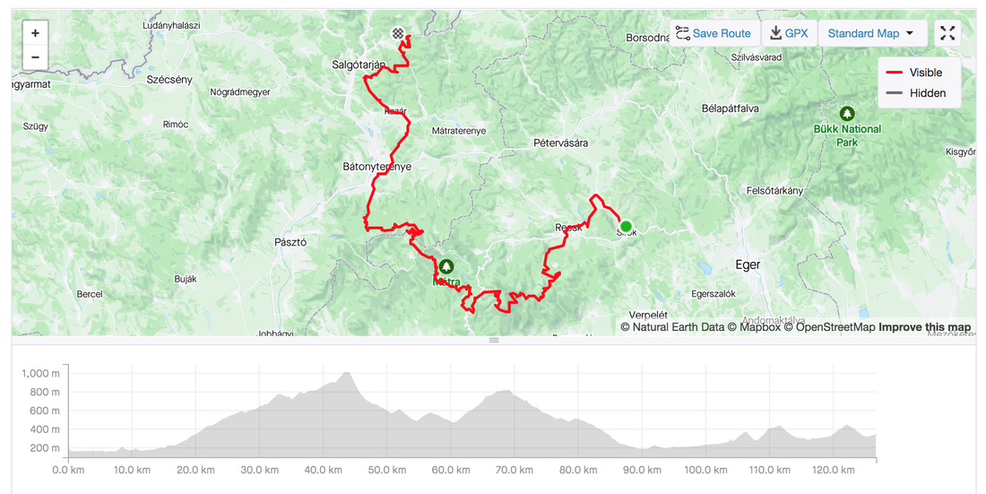
Day 4 - Matra and ZagyvarónaiHungarian Divide - Day 4 Distance:127 kilometres Elevation: 2,314 metres Highlights:
Day 5 - Salgótarján and BánkDay 5 Statistics Strava: Hungarian Divide - Day 5 Distance: 128 kilometres Elevation: 2,407 metres Highlights:
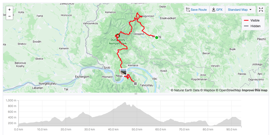
Day 6 - Visegrád and ImreHungarian Divide - Day 6 Distance: 94 kilometres Elevation: 2,125 metres Highlights:
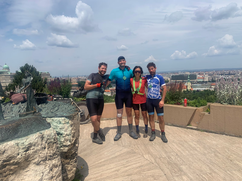
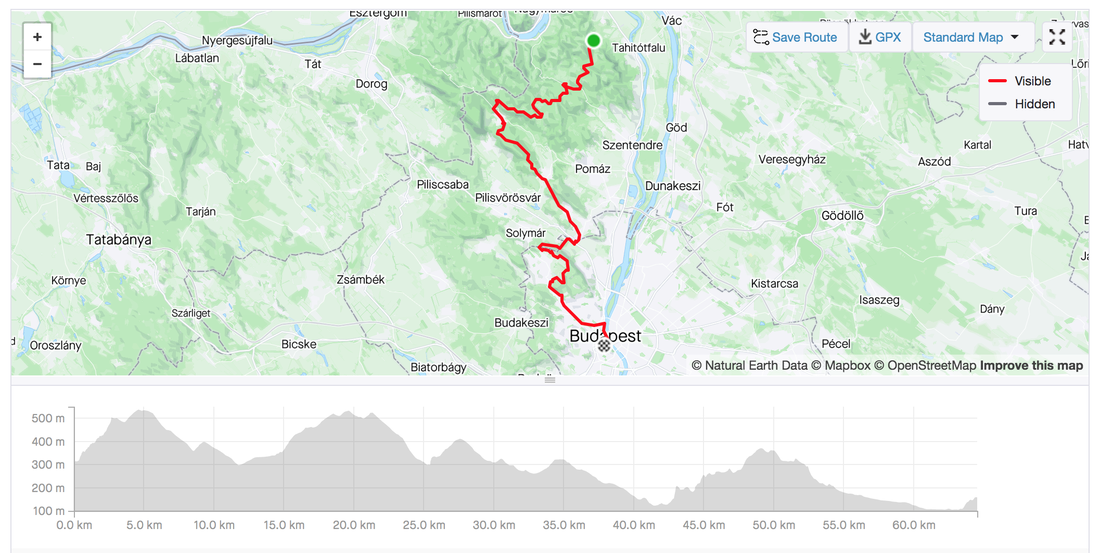
Day 7 - Filozófusok kertje (Philosopher's garden) BudapestHungarian Divide - Day 7
Distance: 64.5 kilometres Elevation: 1,248 metres Highlights:
0 Comments
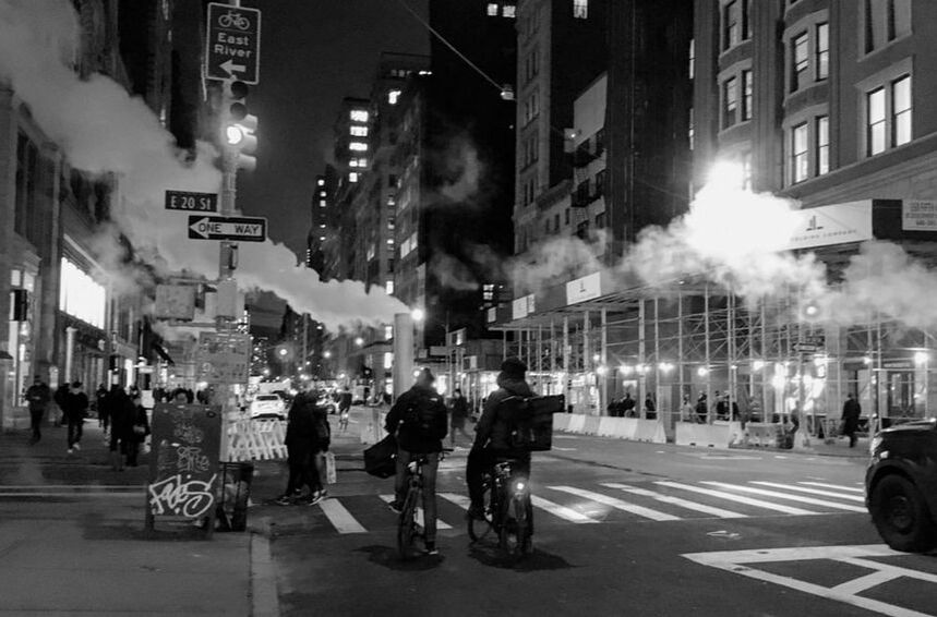
Just blown away by the Bicycle network in this crazy city.
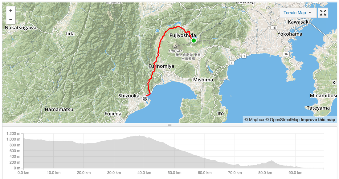
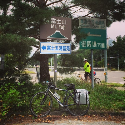
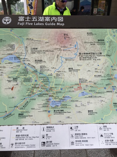
The signal times are long and frequent for pedestrians. The one way streets arranged in a grid pattern with minimal driveways make for an easy bicycle network. Start: Yamanakako
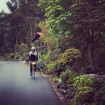
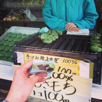
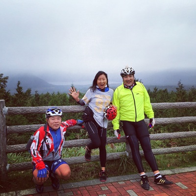
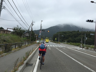
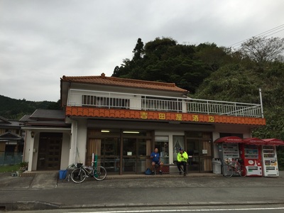
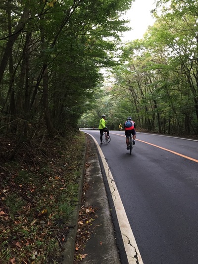
Distance: 99.4 kms Strava: https://www.strava.com/activities/406744640 Elevation gain: 934 m Road Type: On Road, often quiet streets in the mountains, motorbike clubs drive on these roads too, careful off the occasional truck. Sights: Too many. Mountains, river ways, forests, the lake, the valleys Tips: Don't need to carry spare water as there are plenty of vending machines along the way End: Shimizu, port town Accommodation: Last minute hotel booking via booking.com for 5,400 Yen Food: Plenty of stops and vending machines along the way. In Shizumi - Lots of sushi shops because it's close to the sea. Try a local sushi house.
Distance: 54 kms
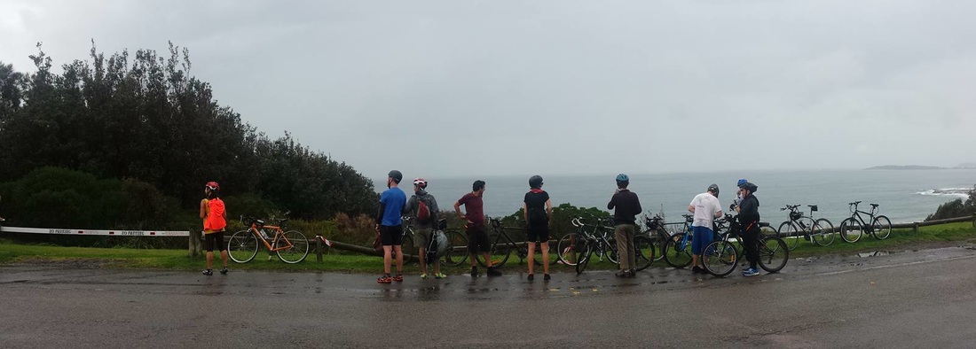
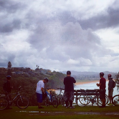
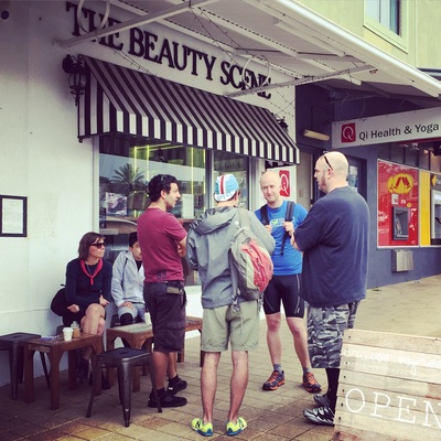
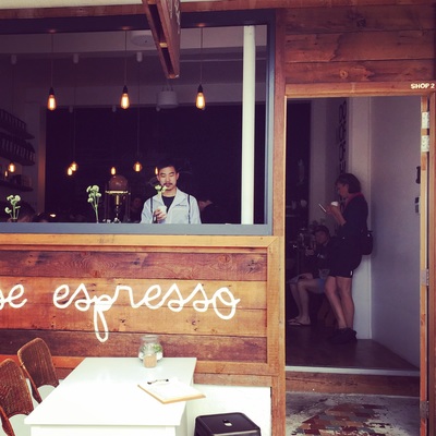
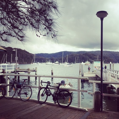
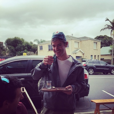
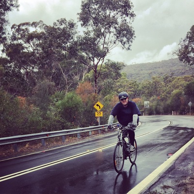
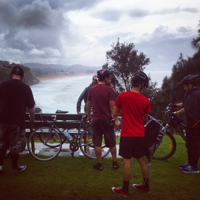
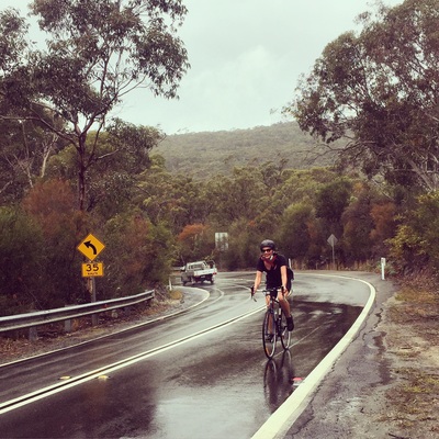
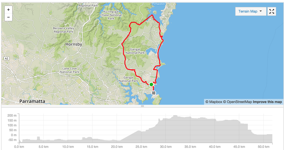
Time: We took about 3 hours to do this with several stops to take photos and get some snacks Route: Manly, Freshwater, Dee Why, Collaroy Beach, Warriewood Beach, Mona Vale, Narrebeen, Church Point, Ku-Ring-Gai Chase National Park, Terry Hills, Allambie Heights Path: Road with bike friendly lanes/sections. In the suburbs along the beach it's quiet but some roads are busy. The busy roads have "bike shoulder lane" Hills: YES Several hills. Be prepared MapMyRide: http://www.mapmyride.com/routes/view/761694601 Strava: https://www.strava.com/activities/385848745 Sights:
Tips:
|
Archives
July 2023
Categories
All
|
 RSS Feed