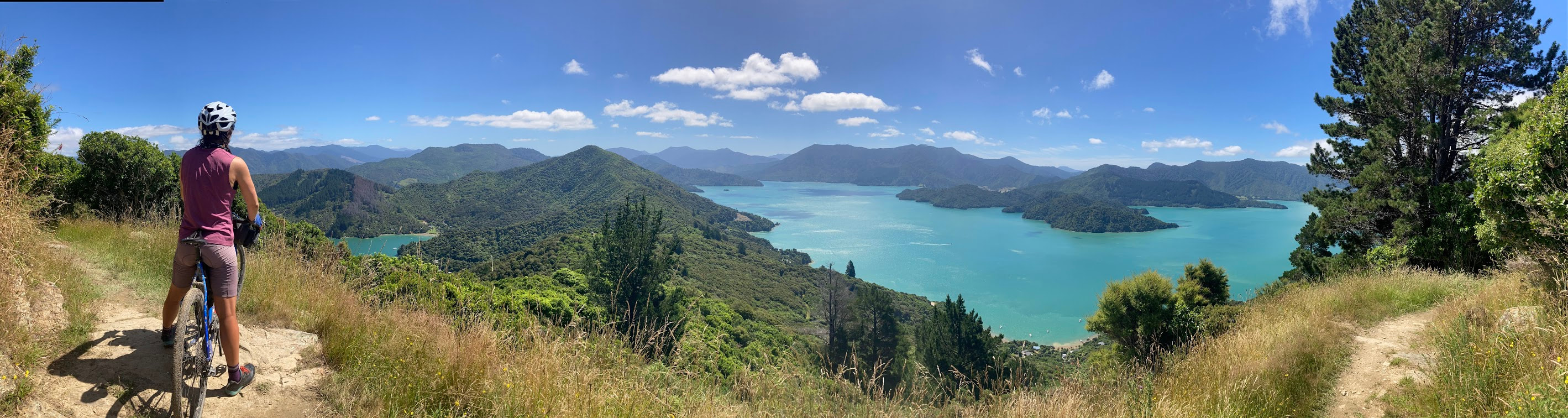
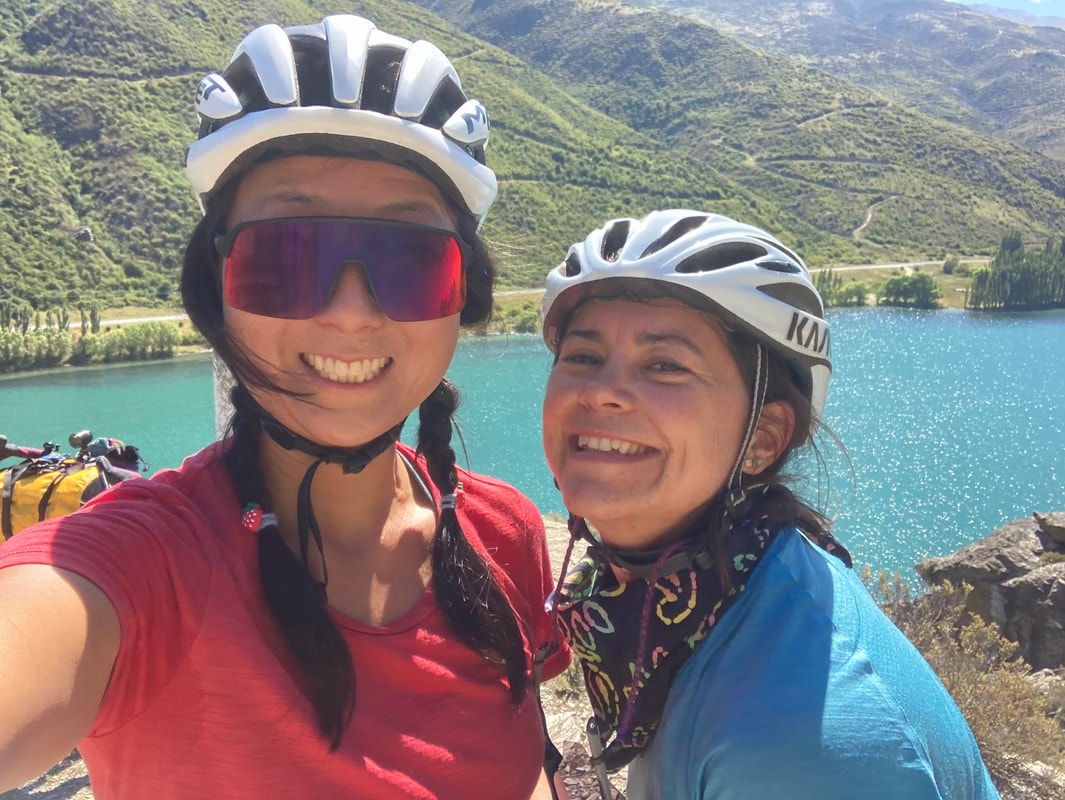
 When everyone was flying as far away as possible from Australia because it was the first Summer of international travel after COVID lockdowns, Jacqui and I chose the closest country possible. Some people thought we were wasting our first freedom summer in New Zealand. I'm sorry friends but NZ has won my heart and I've come back with the passion of a born again Evangelist wanting to preach about all its beauties. The endless mountain ranges, lakes that are all shades of blue, and without the dangers of animals that can kill you. Inspired by my friend Neil, who had completed the Tour Aotearoa before COVID, we had planned a version of the TA that started in Queenstown starting 26 December. A day after Christmas. What I found out 2 weeks before the trip is that New Zealand becomes a campervan paradise during Christmas. Read: cycling on the road out of Queenstown would be a nightmare. Luckily a good Kiwi friend spotted my predicament on the TA facebook forum and suggested the Sounds to Sounds route by the same Kennett Brothers of TA instead. After watching this video we were sold and Sounds of Summer was born. The Route We tweaked the original Sounds of Summer route so we could start in Queenstown and end in Marlborough sounds. Unfortunately we had to miss out on the Milford sounds, but we'll save that for another trip. With the new plan in place the Sounds of Summer tour was set.
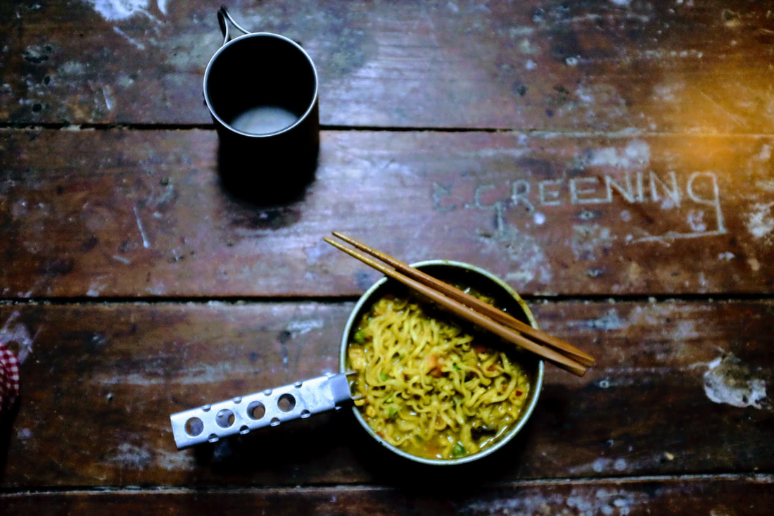
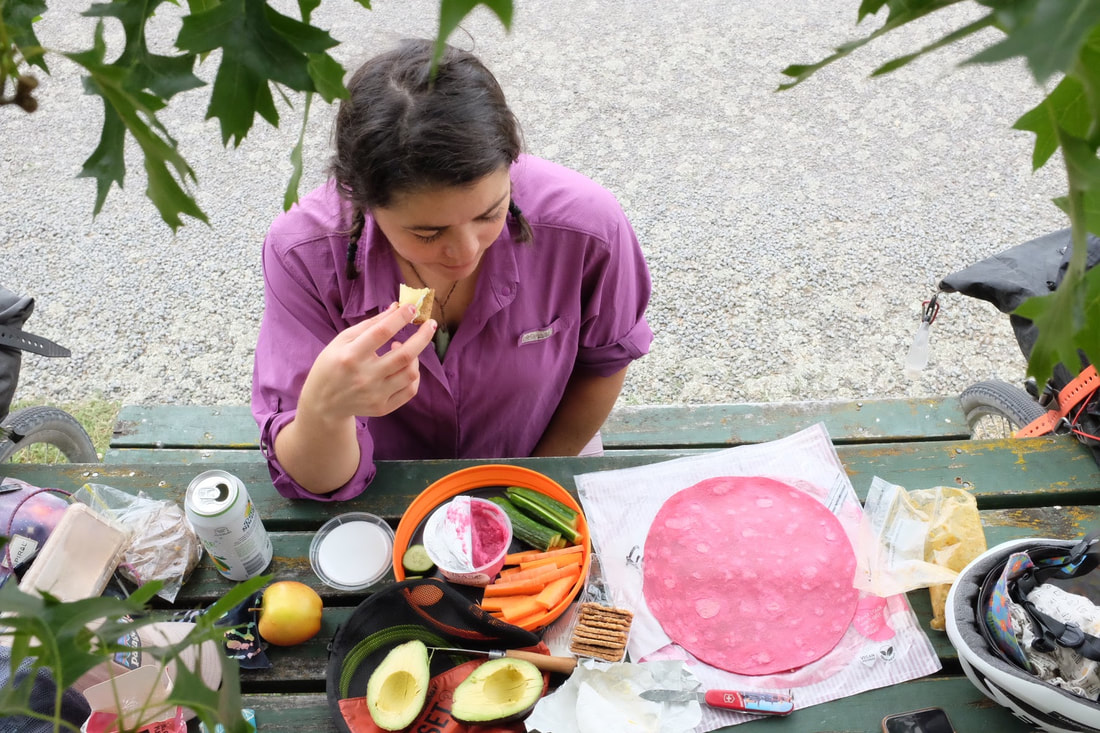
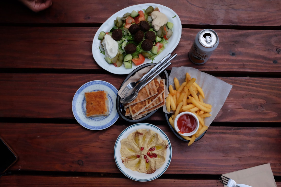
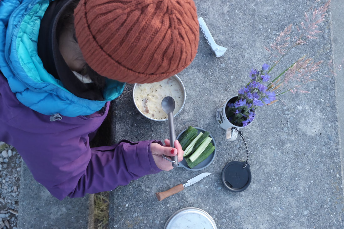
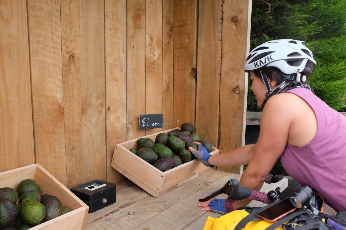
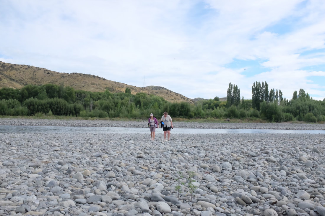
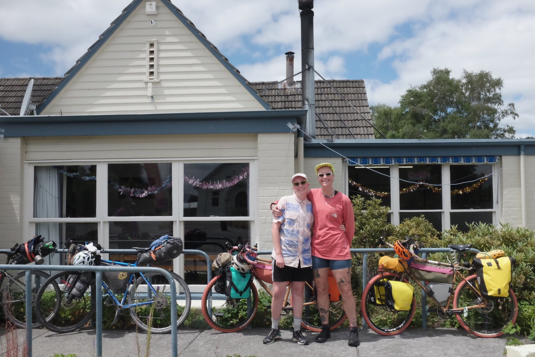
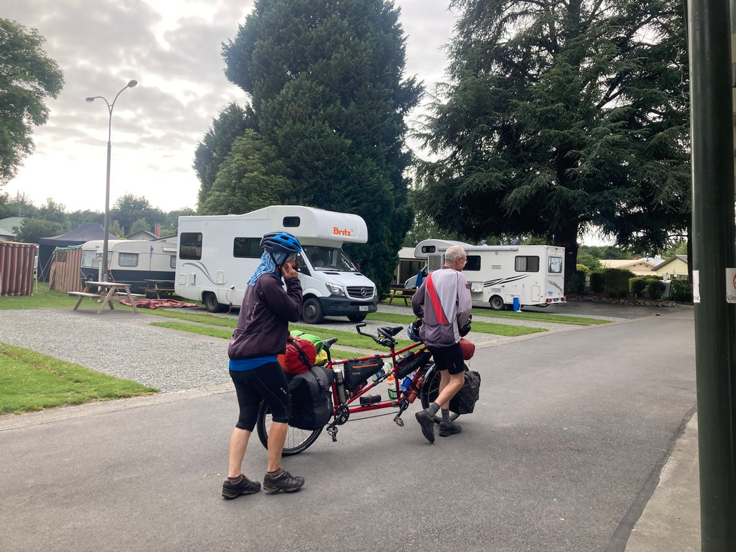
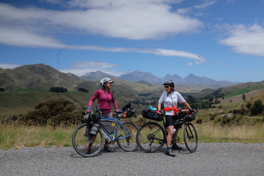
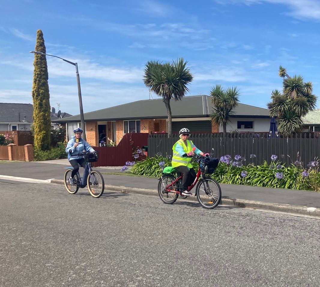
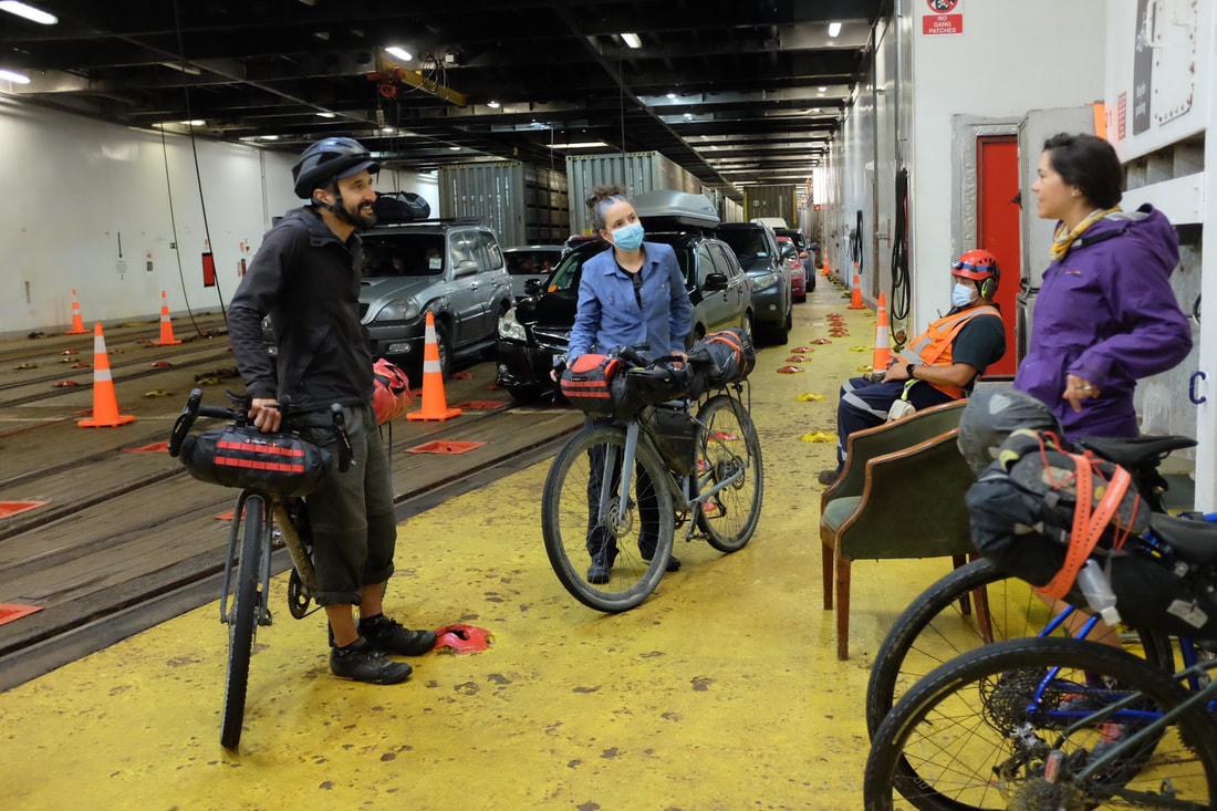
Day 1 - Queenstown home to bungee jumping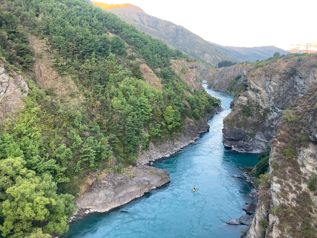 There aren't many cities where you can set up your bicycle and ride out on a cycleway from the airport. The ride to camp was mostly on a trail that runs along a pristine river and passes over the deep gorges. Day 2 - Lake Dunstan Trail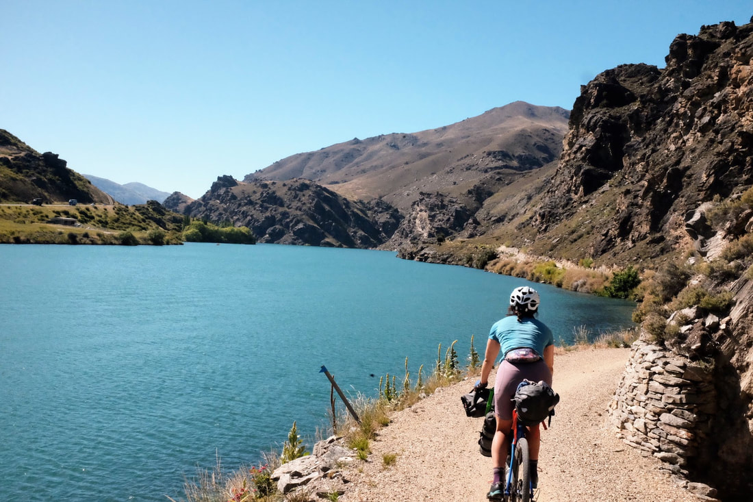 The Lake Dunstan trail opened up in 2021 and it's easy to see why it's so popular with all different types of people. It feels my heart to see young girls, older people and everyone in between out having adventures. The trail is busy and full of happy faces. From the trail we connected onto the Otago rail trail and steadily made our way to camp at Oteuheau resting at the pub along the trail to chill and cool down. 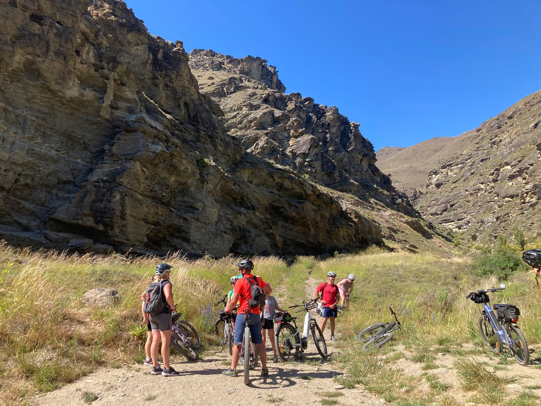 Day 3 - 37 river crossings and AorakiStart: Oturehua Via: Oteake Conservation park End: Omarama Distance: 82.54 Elevation: 1,073 metres Strava link 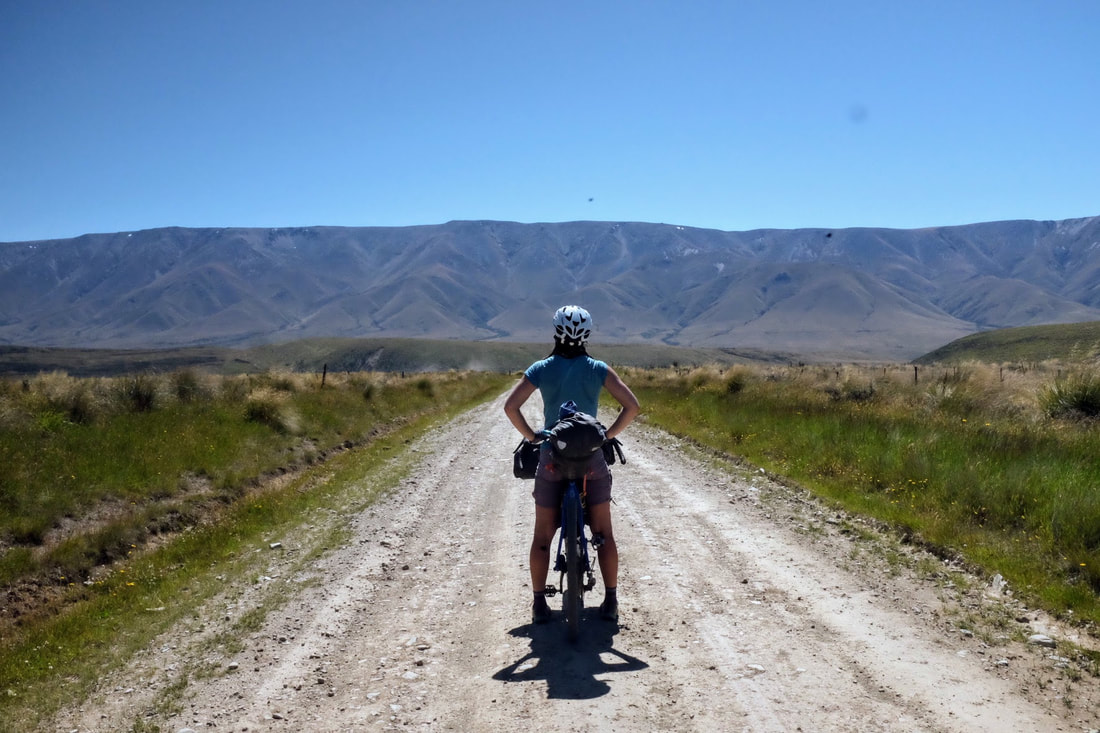 Today we hit our first taste of wilderness and the Easterly. The Easterly headwind the first challenge on the trip but because we were so excited about getting into the wild I don't think our moods were dampened much. Enter the Oteake Conservation park and its 37 river crossings. By the 20th crossing I was regretting not changing into sandals and walking through in my shoes. No bother I powered on with wet soggy. We stopped at the hut for lunch and a vey refreshingly river swim before the hike-a-bike up to Omarama saddle. No one warned us that the saddle was the gateway to one of the stunning vistas of the Aoraki (Mount Cook). It was one of those beautiful views and sensations that instantly triggers the tear ducts. 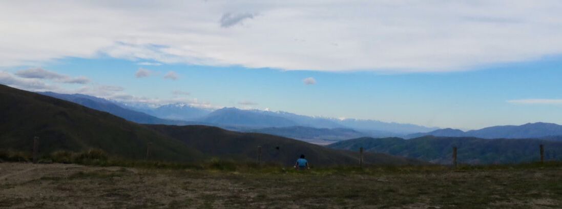 Day 4 Lake PukakiStart: Omarama Via Lake Ohau, Alps to Ocean route End: Lake Pukaki Distance: 86 kms Elevation: 751 metres Strava link 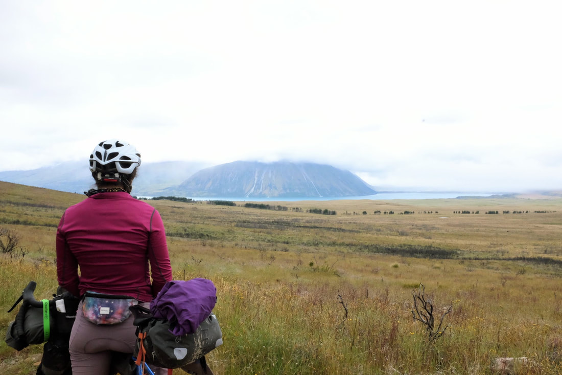 Day 5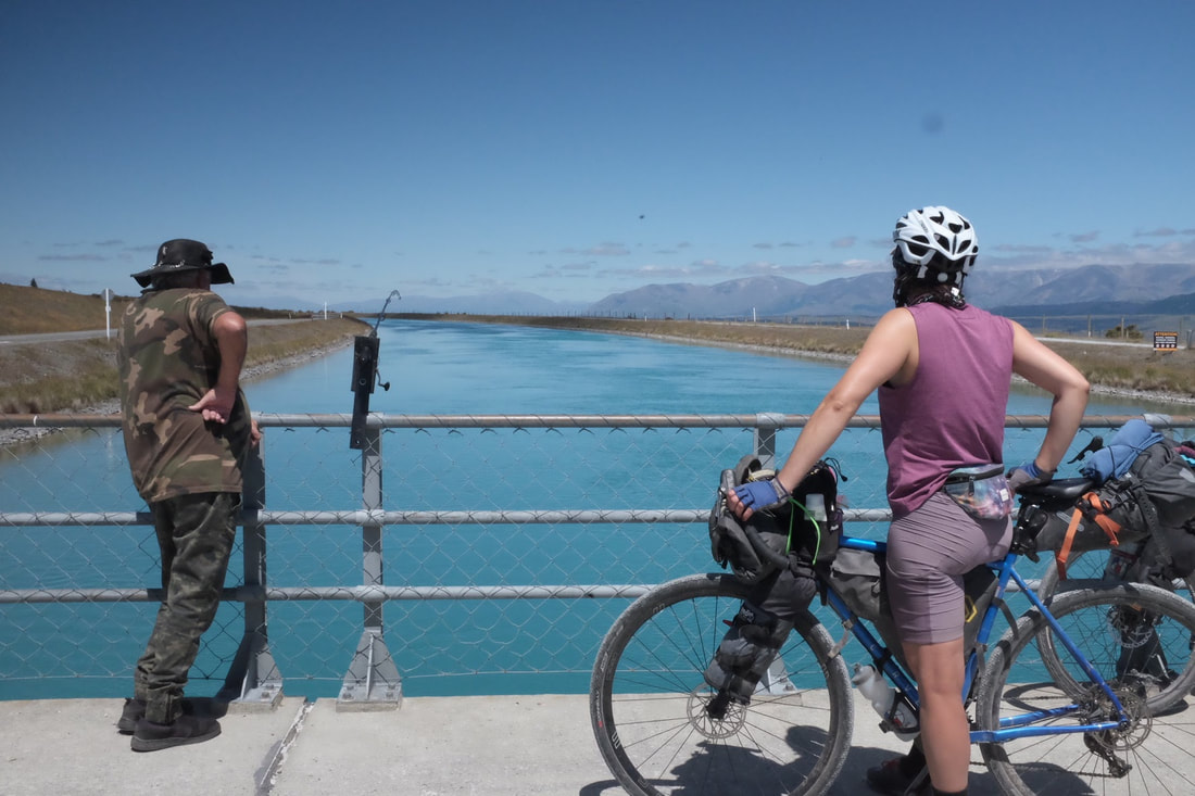 The mountains slowly started looming closer and closer as we rode along the canals. 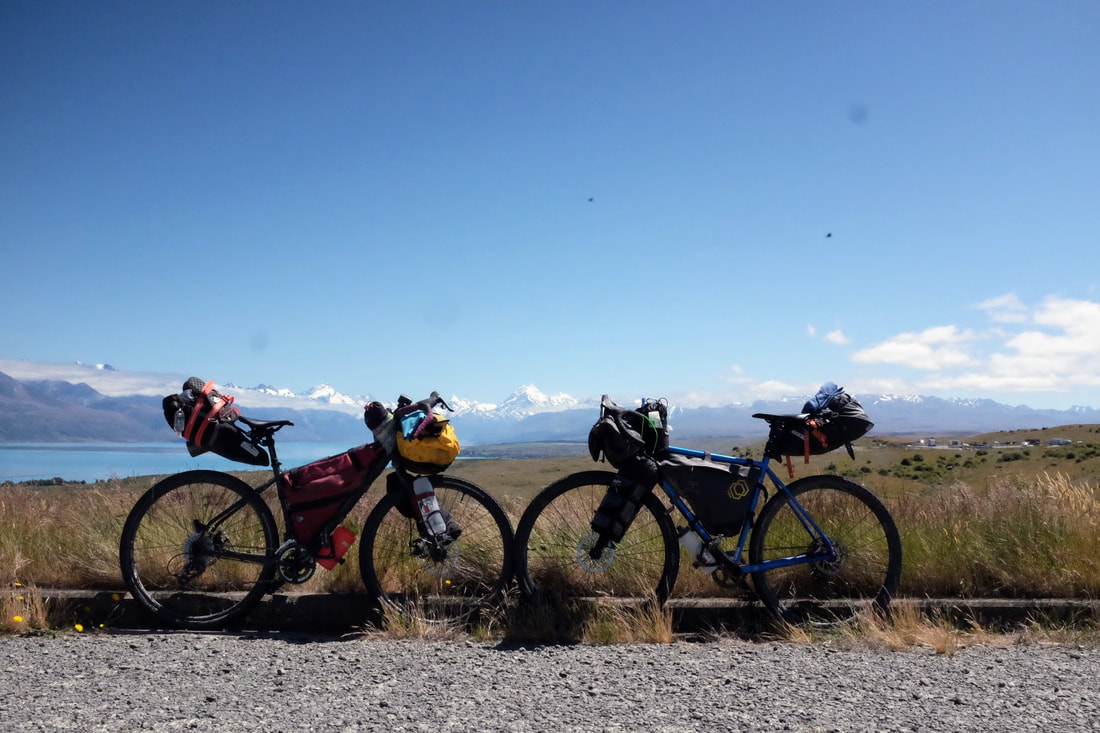 Day 6 - New years cleansing in Lake TekapoStart: Lake Tekapo End: Geraldine Distance: 111.4 kms Elevation: 953 metres Strata link Nothing beats a new years full body cleanse. 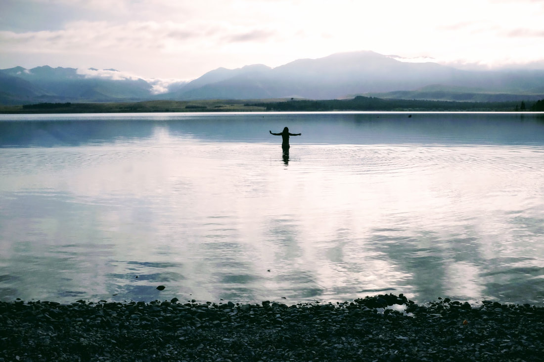 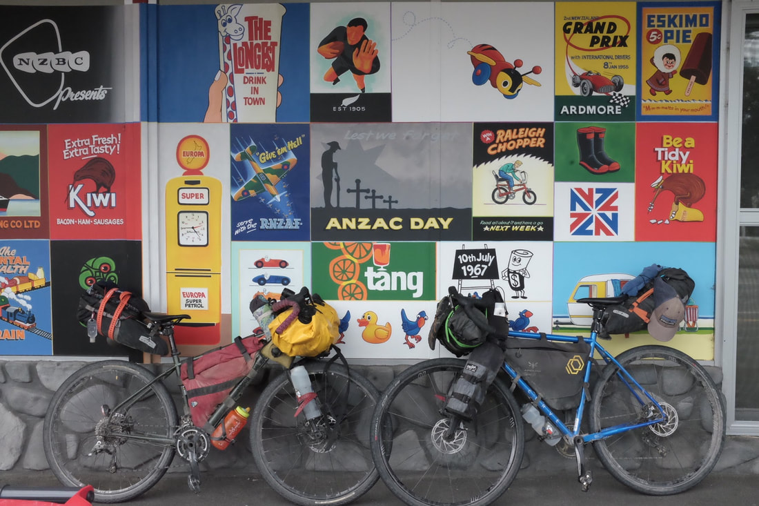 Day 7 - Ice cream for breakfast, fried pineapple for lunch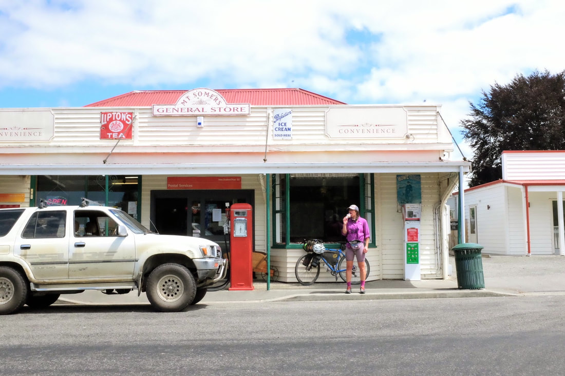 Check out that gorgoues ice cream powered machine on the right. Hokey pokey ice cream to be exact. 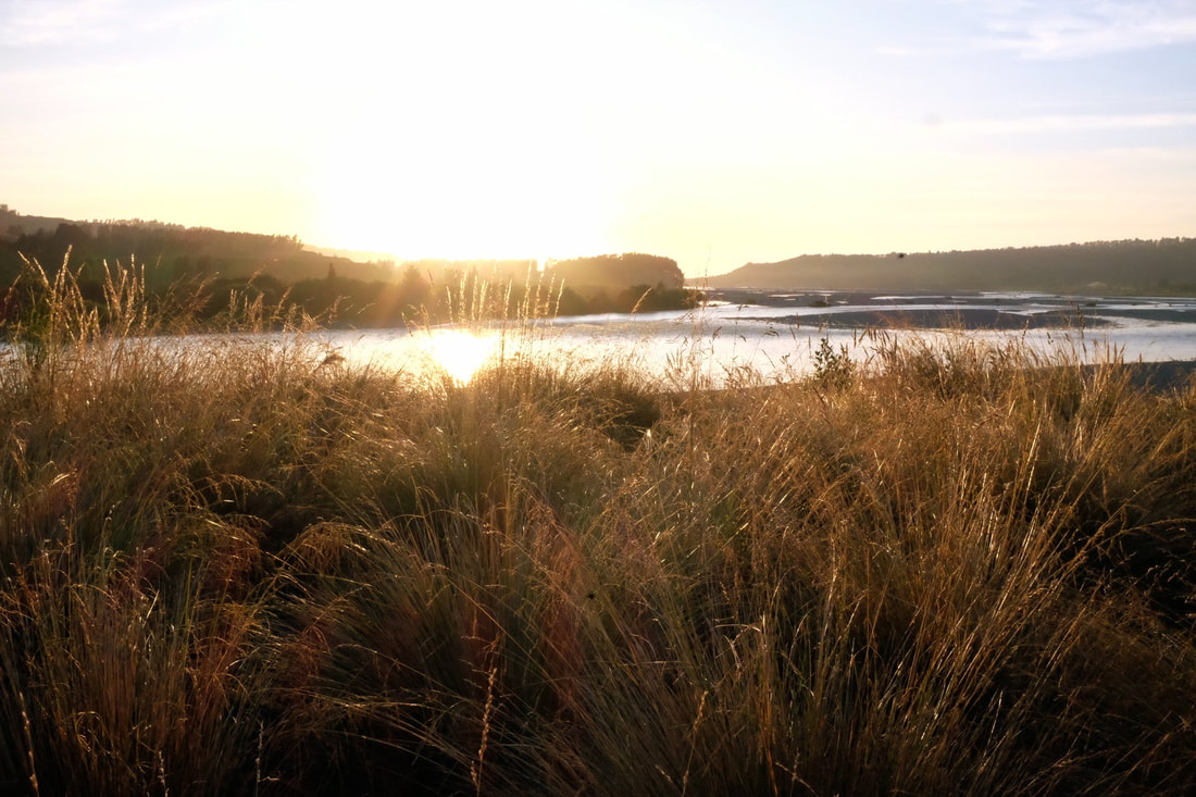 Day 8 Christchurch quake cityStart: Rakaia Gorge via Rolleston End: Christchurch Distance: 101.05 kms Elevation: 202 metres Strava link Oh headwinds of Christchurch you tested me. 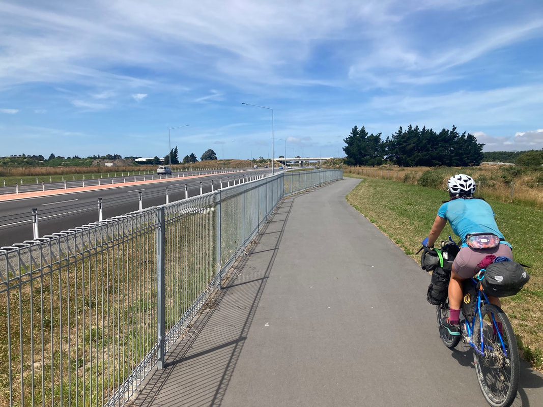 Day 9 - Step back in time with Amberley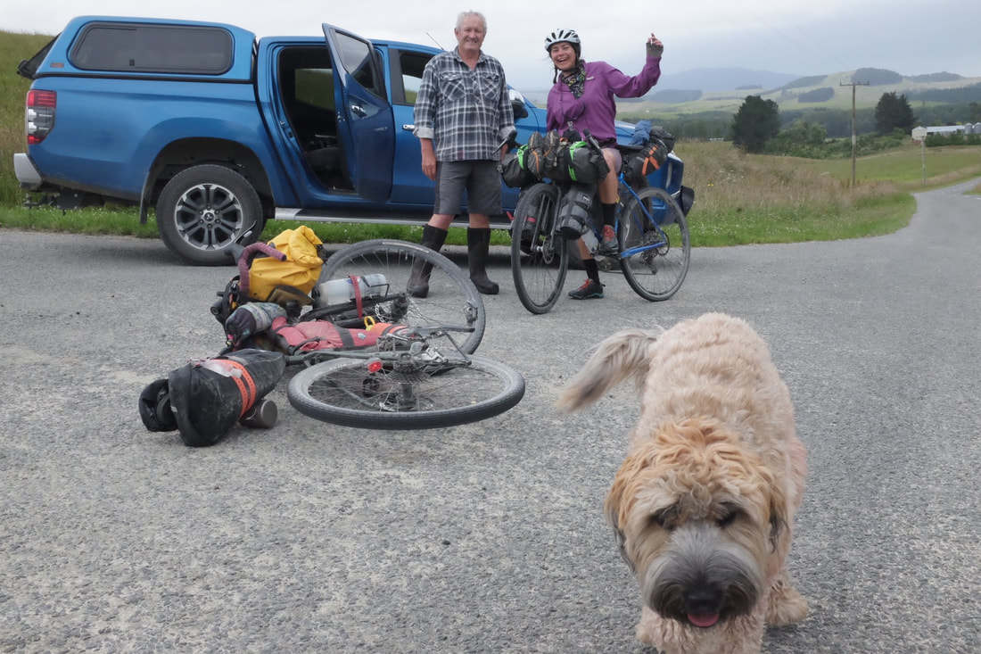 Phil and George were the mascot we needed after riding the notorious Rockwood road. Rockwood road broke us a little with its shingles on climbs plus the heat. 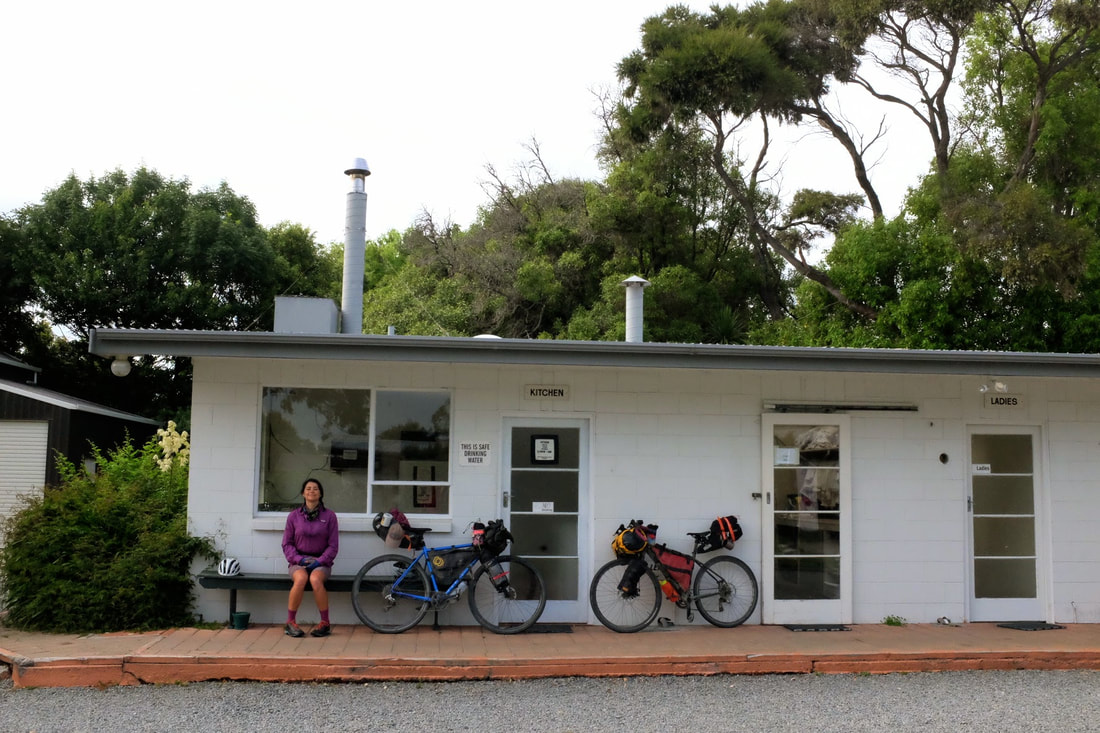 Day 10 CulverdenStart: Amberley End: Culverden Distance: 96.88 kms Elevation: 954 metres Strava link 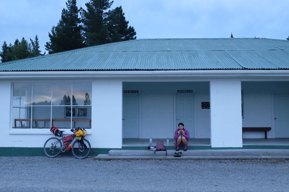 Was a little sad riding through endless agriculture fields of green knowing they were being watered by the water siphoned from the nearby. 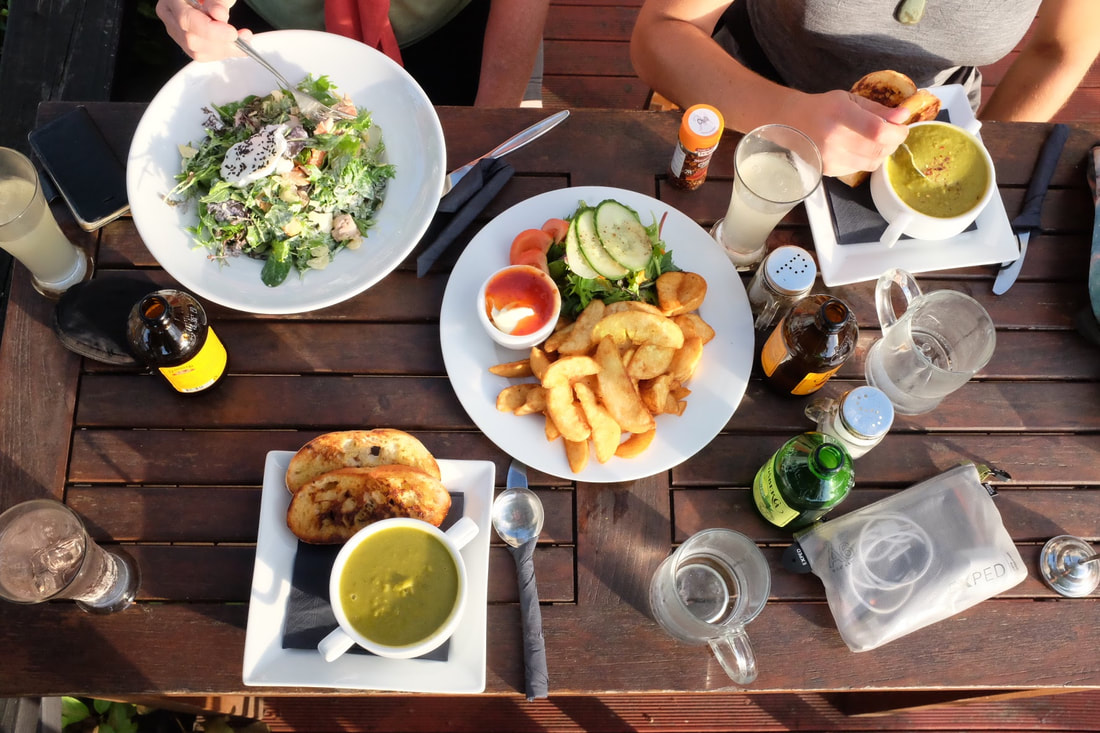 Day 11 - Rest day Hanmer springs pamperStart: Culverden End: Hanmer Springs Distance: 37.21 kms Elevation 324 metres Strava link 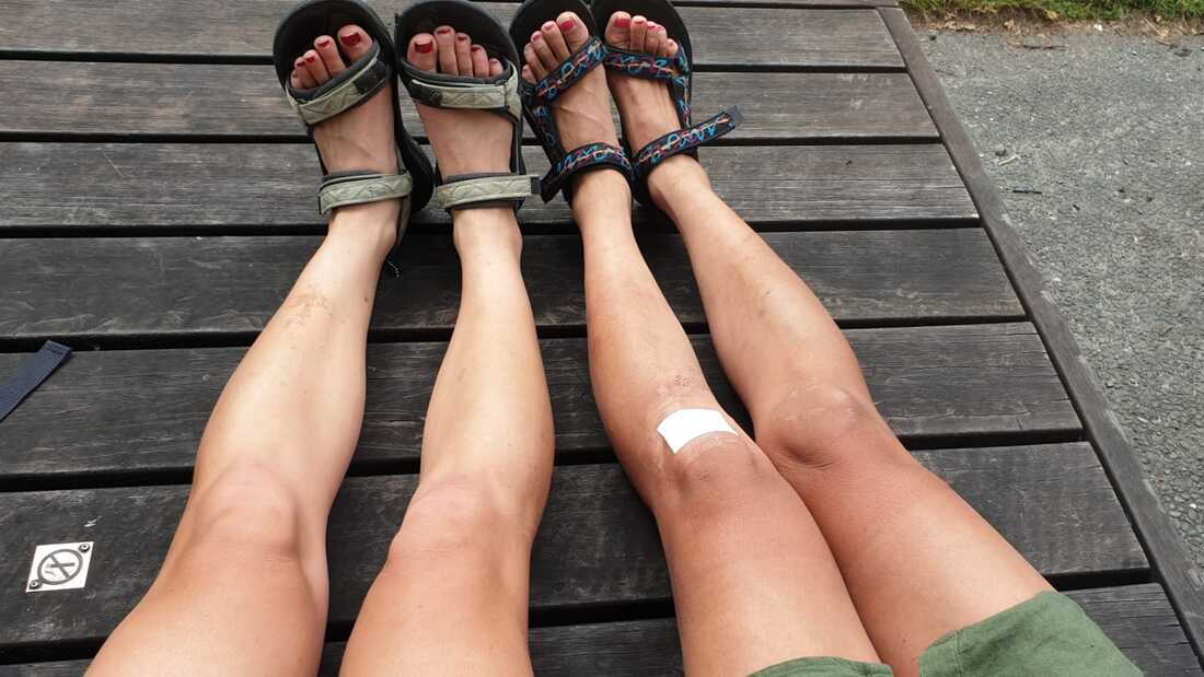 The only way to Hanmer Springs is along the state highway, so Jacqui and I made a pact to hit it mega early. We were rewarded with a day of lazing about, walking, and soaking in the minerals at the Thermal springs-cum amusement park. 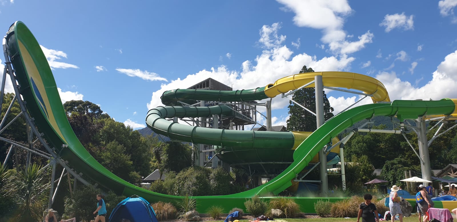 Day 12 Jollie's pass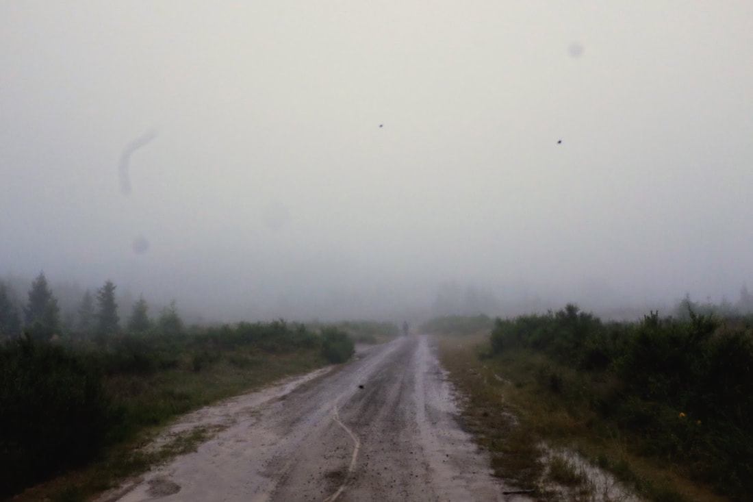 One way to heat yourself up is to just take make a cup of tea and toast your toes too. 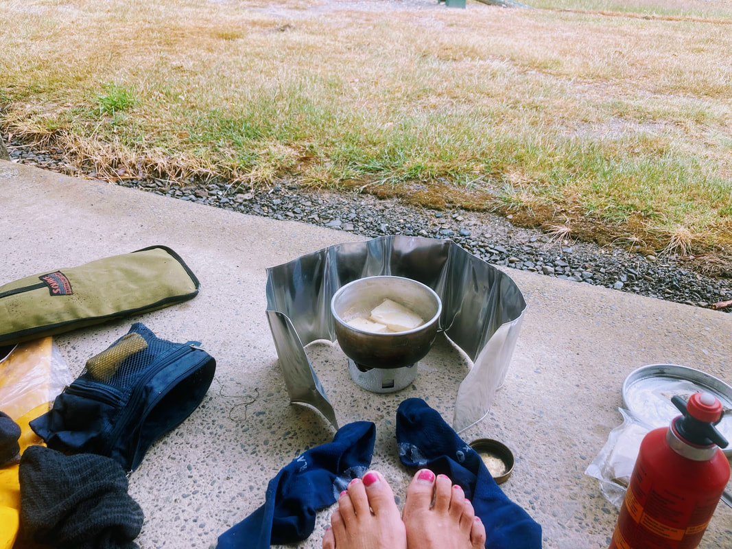 Day 13 - Molesworth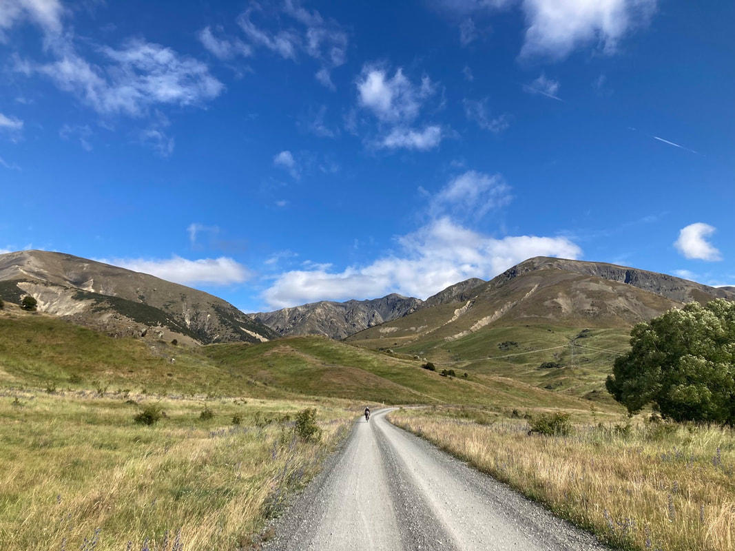 Day 14 - Marlborough sounds finale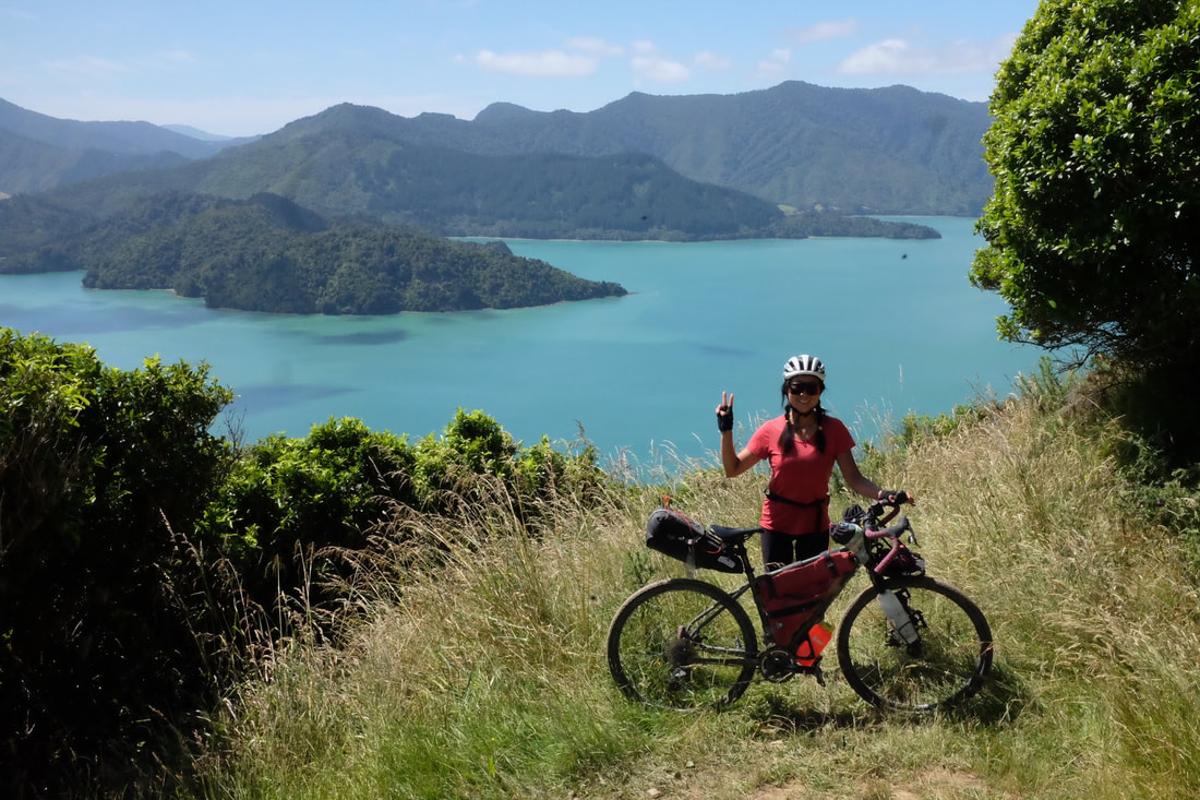 The fuelCarbs in energy out. The most common question you get asked when you're a vegan bikepacker is how do you carry all your food. It can be complicated so we took the hassle out this time and treated ourselves to dehydrated meals. I am so grateful for those packages of flavour and goodness. Some nights we arrived at camp after 9 and all we had to do was boil some water to have a hearty feed. Then in town when we had the chance we would splash out on a decent feed. My favourite dehydrated meals would be: Laksa, minestrone soup My new found snack favourite: Snacks: Trail mix, crystallised ginger, cliff bars, dates, The peopleAs much as I love the off road riding I love going through towns and the incidental encounters with other travellers. Sometimes those encounters are long enough to share their story, a meal, a laugh, words of advice, a swim or even as simple as a smile with 2 grandmas riding ebikes eating ice-cream. In clockwise order.
0 Comments
Leave a Reply. |
Archives
July 2023
Categories
All
|

 RSS Feed